Parking
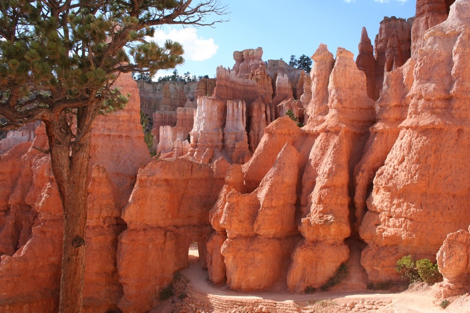
Use the small parking area at Swamp Canyon Overlook / Swamp Canyon Loop Trailhead, about five miles south of the visitor center on Bryce Canyon Scenic Drive. The area also serves the Sheep Creek route.
Bryce Canyon National Park, UT
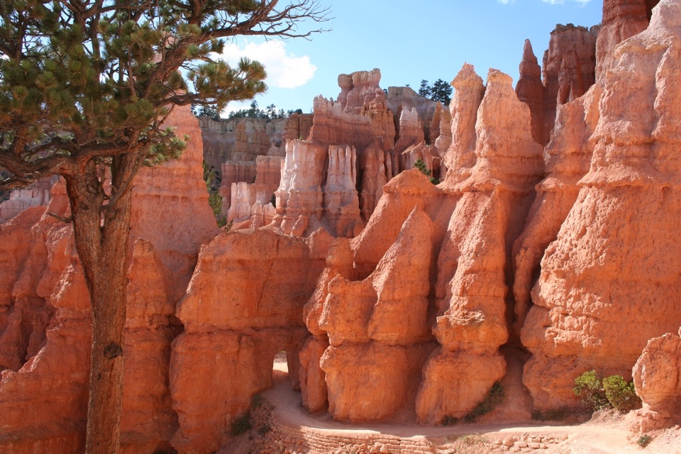
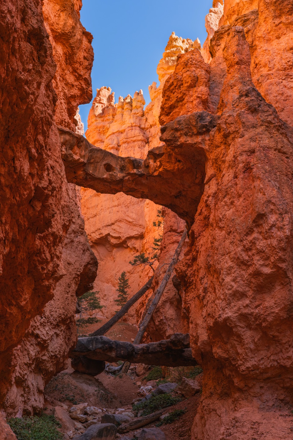
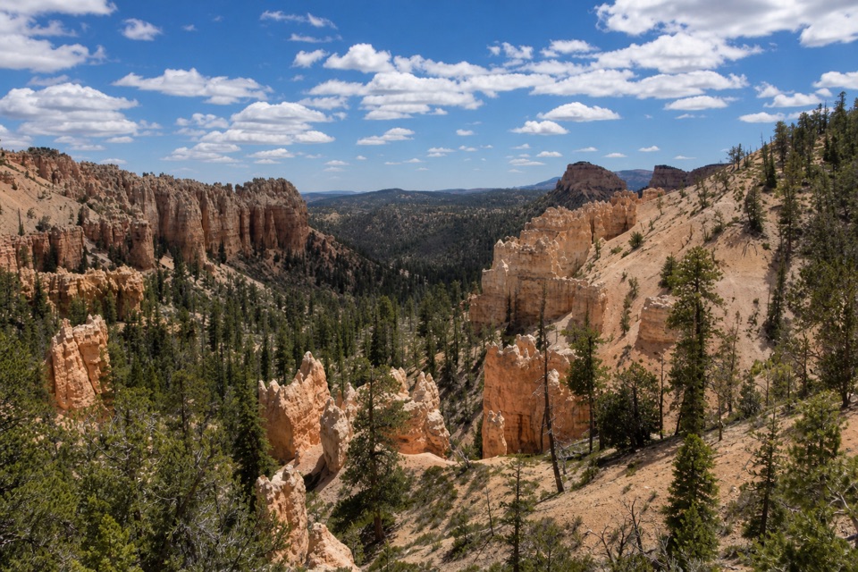
A short, steep drop takes you below the rim into piney canyon.
Overview
Map & elevation
Plan your hike

The highest, rockiest slopes around here are a summer buffet for grizzly bears.
Bryce Canyon Tour Guide
Parkwolf is a GPS audio tour guide for Bryce Canyon National Park. As you drive, it chimes in with what’s ahead: hidden gems, upcoming stops, history, geology, and wildlife, right through your car’s speakers.
Recorded for this trailhead
Swamp Canyon: Why the Name Fits“Swamp Canyon's overlook is coming up, with Mud and Noon Canyon Buttes beyond the rim. Two tiny creeks and a spring keep the canyon below unusually wet for Bryce, supporting grasses and willows.”
Plays as you drive up to this trailhead in the Parkwolf Bryce Canyon Tour Guide.
More stories near here in the app
“Super fun and useful app! We especially enjoyed the guide as we drove through Bryce Canyon National Park.”


Trail guide
Swamp Canyon Connector is a 2.1-mile out-and-back from Swamp Canyon Overlook to the junction with the Under-the-Rim Trail, then back up the same route. It drops through a limestone draw into a forested canyon, making this a good short change of scenery if you want to get below the rim. Allow about 1½ hours. This is the connector on its own; the separate Swamp Canyon Loop is about 4 miles and includes other trails.
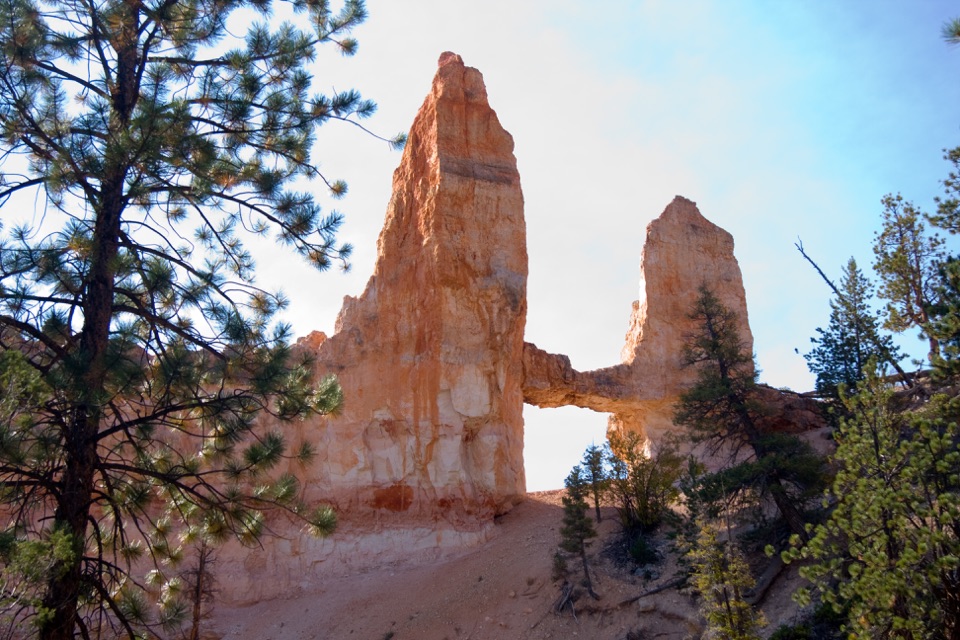
Several paths leave the overlook area. Take the signed path heading downhill to the left, north, to the Sheep Creek junction; there, turn right, south, for Swamp Canyon. The connector winds southwest between limestone cliffs, through Gambel oak, juniper, manzanita, Douglas fir and ponderosa pine. At the low junction with Under-the-Rim, Swamp Canyon Butte rises to the south. Turn around there for this hike.
The route drops about 575 feet over roughly a mile, so you regain that elevation on the way back up the switchbacks. The trailhead is at the small Swamp Canyon Overlook parking area, about five miles south of the visitor center. Pets aren't allowed on unpaved park trails; only ADA-recognized service animals may go where visitors are permitted.
Wildlife
 15 sightingsWapitiMost seen around 6 AMSighting map
 50 sightingsUtah Prairie DogMost seen around 9 AMSighting map
 331 sightingsMule DeerMost seen around 7 AMSighting map
 118 sightingsPronghornMost seen around 6 PMSighting map
 41 sightingsTurkey VultureMost seen around noonSighting map
 44 sightingsWild TurkeyMost seen around 7 AMSighting map
Sighting maps show where each species has been reported across Bryce Canyon. Wildlife moves, so no sighting is guaranteed.
Keep exploring
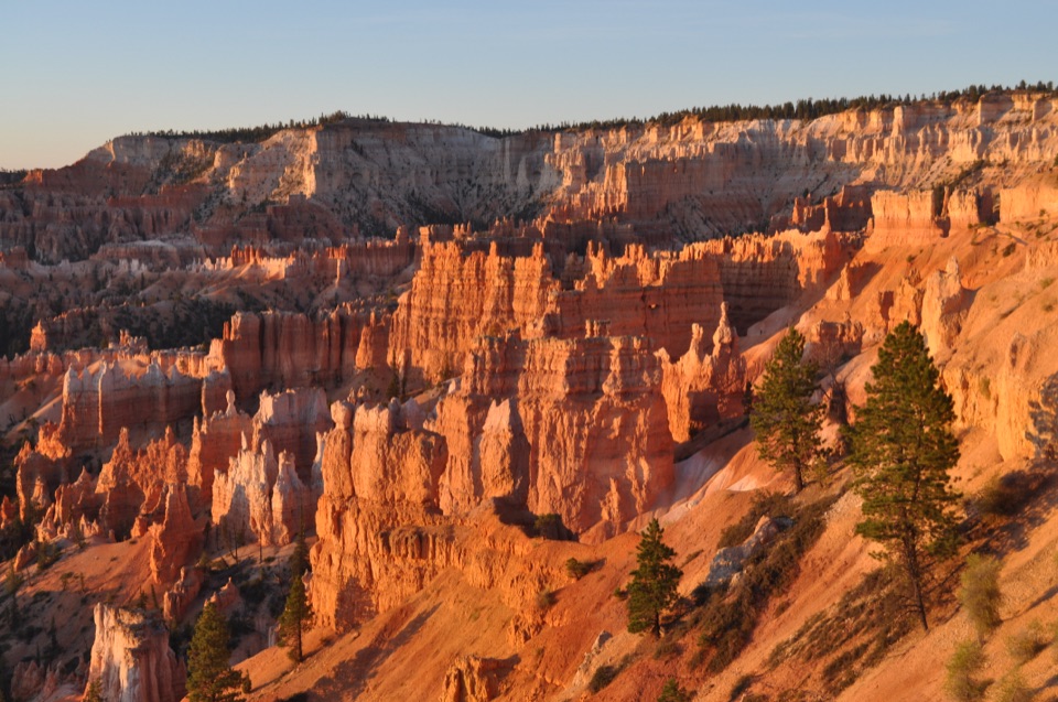 ModerateSheep Creek Trail5.8 mi · 4 hr · At the trailheadFollow the cliffs down to a shaded campsite, then climb back out.
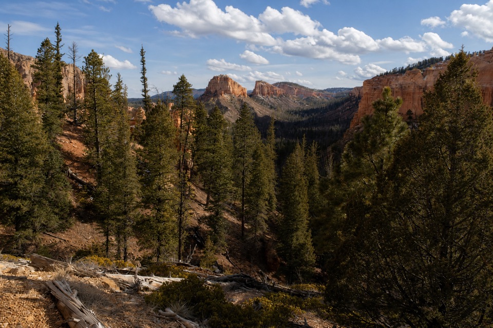 ModerateSwamp Canyon Loop4 mi · 3.5 hr · At the trailheadA quieter loop through meadow, forest, and red-rock canyon country.
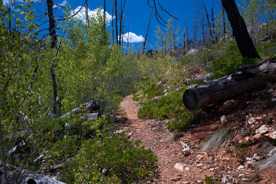 ModerateWhiteman Connecting Trail2 mi · 1.5 hr · 2.1 mi awayA wooded descent reaches the Under-the-Rim backcountry trail.
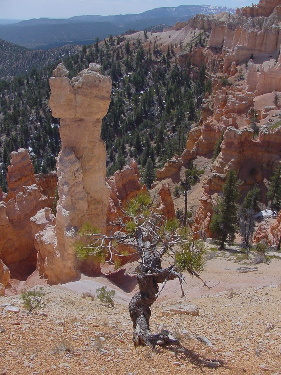 ChallengingHat Shop Trail4 mi · 3.5 hr · 3.3 mi awayA steep descent to gray-capped hoodoos, then the climb back.
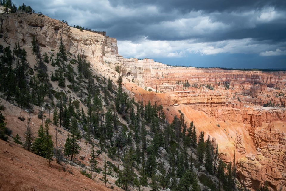 ChallengingBryce Amphitheater Traverse4.7 mi · 3.5 hr · 3.3 mi awayA hoodoo descent, a clockwise trail stretch, and a steep rim climb.
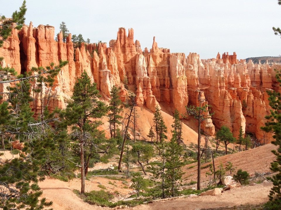 ChallengingPeekaboo Loop Trail5.5 mi · 3.5 hr · 3.3 mi awayWall of Windows close up; a 1,560-foot climb back to the rim.
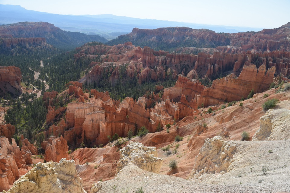 ModerateThe Rim Trail5.5 mi · 3.5 hr · 3.3 mi awayFive and a half rim miles link Bryce Amphitheater’s big overlooks.
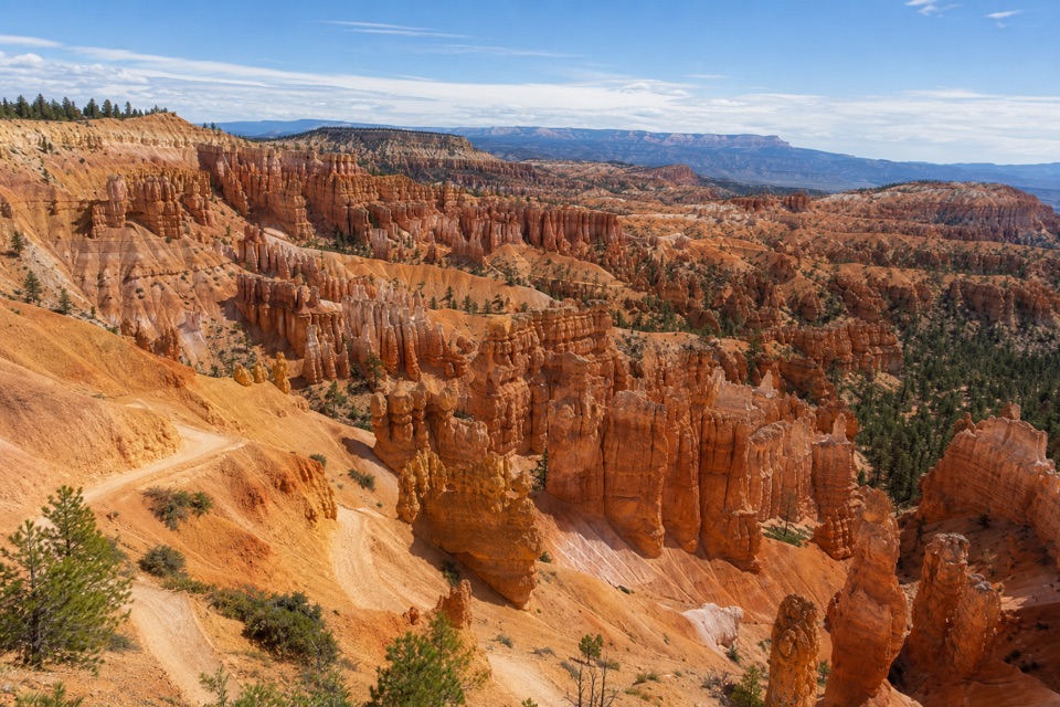 EasySunset Point to Sunrise Point Hike1 mi · 1 hr · 3.5 mi awayA paved half-mile rim walk with Bryce’s classic hoodoo view.
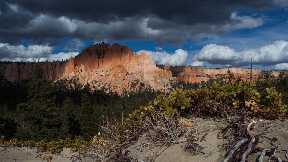 Sight · At the trailheadSwamp CanyonSee Mud and Noon Canyon Buttes from a quick roadside pullout.
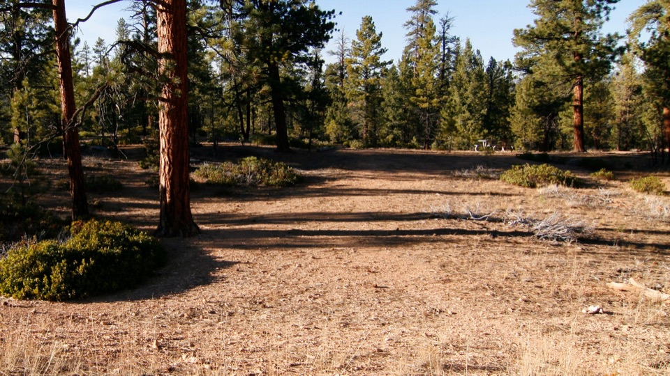 Picnic area · 1.5 mi awayCCC Picnic AreaA forested picnic break with a little CCC history nearby.
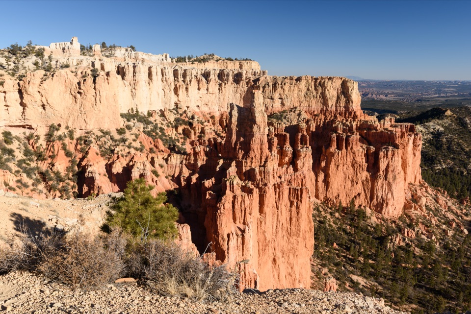 Sight · 2.4 mi awayParia ViewA quieter overlook above Yellow Creek’s 500-foot amphitheater
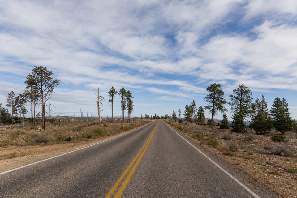 Picnic area · 2.6 mi awayWhiteman Bench Picnic AreaPicnic tables beside a visible story of forest recovery.
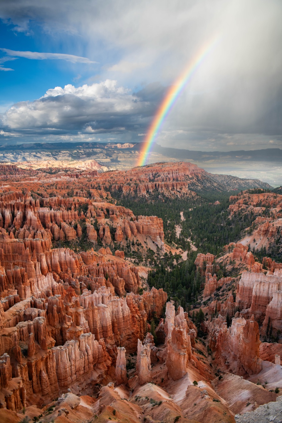 Sight · 3.1 mi awayInspiration PointThree levels offer different angles over the hoodoo amphitheater.
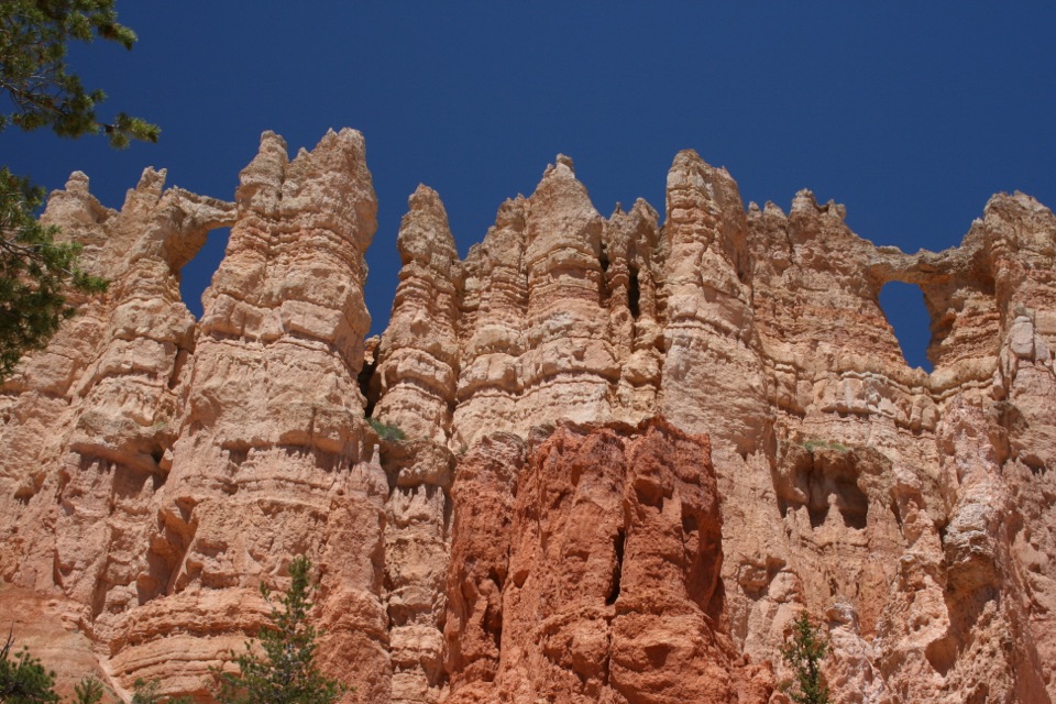 Sight · 3.1 mi awayWall of WindowsA close-up of this limestone fin comes with a full hike.
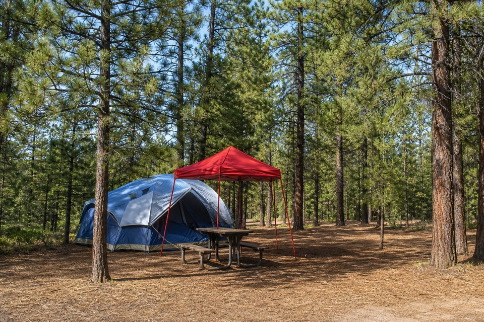 Campground · 3.2 mi awaySunset CampgroundStay among pines, with an RV loop and two tent-only loops.
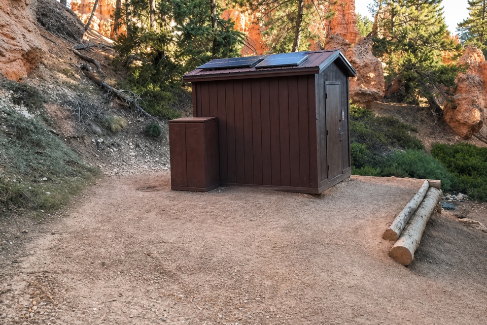 Restroom · 3.2 mi awayPeekaboo Loop RestroomA seasonal pit toilet on the west side of Peekaboo Loop.
Parkwolf’s Bryce Canyon ranking

The audio tour guide for the drive, plus offline maps, trails, and wildlife heatmaps for when the signal drops.