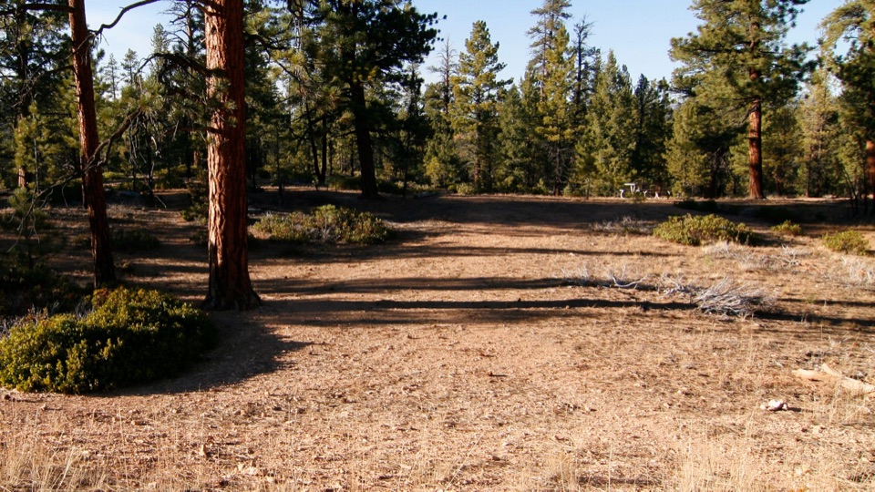
CCC Picnic Area in Bryce Canyon National Park

Picnic area · Bryce Canyon National Park

CCC Picnic Area

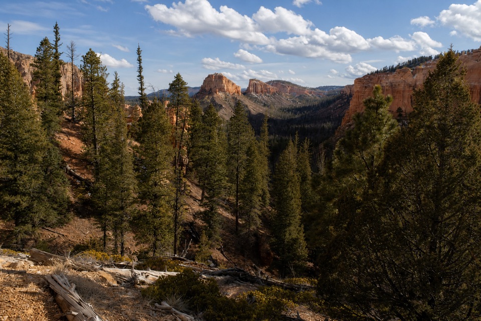
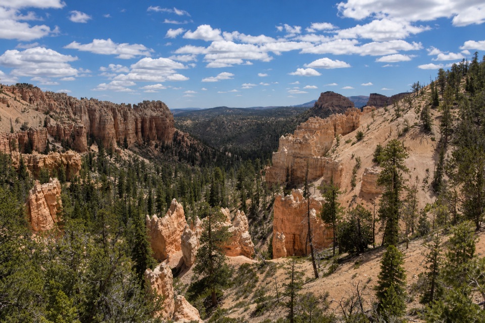
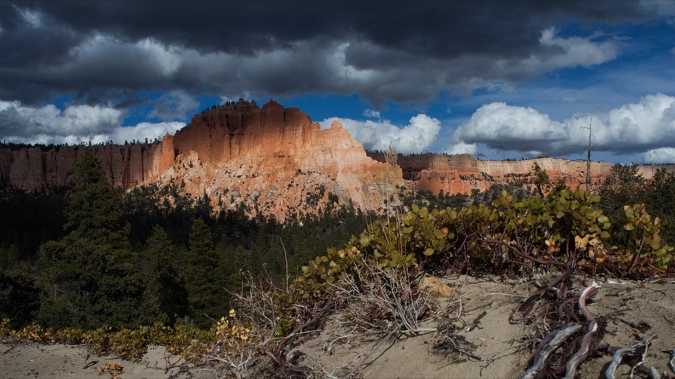
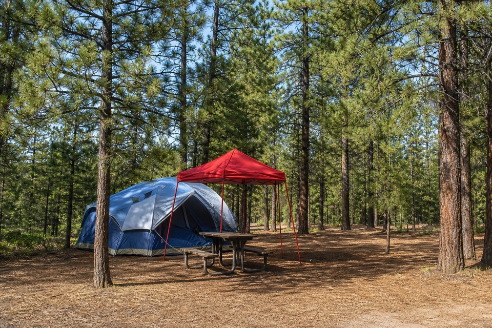
A forested picnic break with a little CCC history nearby.

Photo: National Park Service
Type
Picnic area
Nearest trail
1.5 mi
Audio stories
5 nearby
  • Pullout
  • Picnic tables

Hear the audio tour

CCC Picnic Area: The Camp Behind the Name

Overview

About CCC Picnic Area

Why stop

  • Picnic tables in a forested pull-out, with a nearby CCC story.

Map

Where it is

Loading the Bryce Canyon map
Full map
Picnic areaCCC Picnic Area37.60681, -112.20056
Keep this map with you offline in the Parkwolf app

Plan your stop

Before you go

3 active Bryce Canyon alerts

  • CautionUnder-the-Rim Trail hiker advisoryMentions Under-the-Rim Trail, referenced in this guideHike the Under-the-Rim Trail only if you are prepared for deteriorated conditions and delayed emergency response. - The trail has many places with deteriorated trail conditions.Official details
  • ClosureTrail closures due to recent weather eventWall Street and the Bryce Connector Trail to Peekaboo Loop are closed until further notice because of a recent weather event. - Do not enter these closed trails.Official details

See all 3 alerts
A park ranger sits on a dash-mounted phone, talking, as Parkwolf’s Tour Guide plays “Army Cutworm Moths: A Grizzly Bear Buffet” on Grand Loop Road below Dunraven Pass in Yellowstone
Parkwolf Tour GuideThe highest, rockiest slopes around here are a summer buffet for grizzly bears.

Bryce Canyon Tour Guide

Your drive to CCC Picnic Area, narrated.

Parkwolf is a GPS audio tour guide for Bryce Canyon National Park. As you drive, it chimes in with what’s ahead: hidden gems, upcoming stops, history, geology, and wildlife, right through your car’s speakers.

Recorded for this place

CCC Picnic Area: The Camp Behind the Name
0:00 / 0:21
“Up ahead is CCC Picnic Area, a forested pullout for a bring-your-own lunch rather than a canyon overlook.”

Plays as you drive up to CCC Picnic Area in the Parkwolf Bryce Canyon Tour Guide.

More stories near here in the app

  • Swamp Canyon: Why the Name Fits
  • Inspiration Point: Three Levels of Views
  • Sunset Campground: A Base Near the Rim
  • Paria View: A Mountain on the Horizon
  • 30 audio storiesacross Bryce Canyon’s roads, triggered by GPS as you drive
  • Wildlife heatmapsfor Wapiti, Utah Prairie Dog, Mule Deer, and 13 more
  • Works offlinemaps, 24 trails, 41 places, and audio download before you lose signal
  • CarPlay readysimple controls built for the drive
★★★★★
“Super fun and useful app! We especially enjoyed the guide as we drove through Bryce Canyon National Park.”
Rae607App Store review
Download Parkwolf on the App StoreGet Parkwolf on Google Play

4.7 from 8,600+ ratings

Guide

More about CCC Picnic Area

A pause on the Southern Scenic DriveCCC Picnic Area is a small, forested picnic pull-out at mile 4.

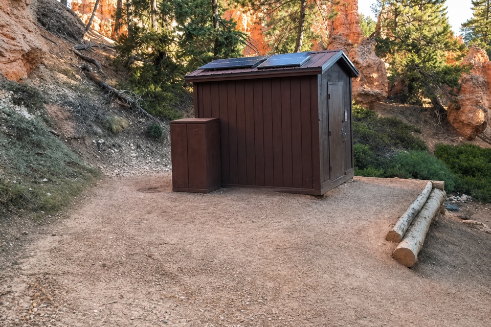
CCC Picnic Area is a small, forested picnic pull-out at mile 4.75 of Bryce Canyon's 18-mile Southern Scenic Drive. Picnic tables make it a useful place to pause for a meal. I'd stop when you want a table break along the drive; if you're choosing a short list of canyon sights, keep going to a viewpoint instead.

What to expect at the pull-outThe NPS lists picnic tables and trash receptacles here.

The NPS lists picnic tables and trash receptacles here. Treat it as a bring-your-own picnic: the site information doesn't list a drinking-water tap or restroom, so fill your bottles and make restroom stops elsewhere rather than counting on this pull-out.

The camp behind the nameThe Civilian Conservation Corps' Camp NP-3 operated in the vicinity from 1934 to 1943.

The Civilian Conservation Corps' Camp NP-3 operated in the vicinity from 1934 to 1943. Its crews worked on Bryce Canyon roads, footpaths, landscaping, and insect control. Named projects included the Under-the-Rim Trail between Rainbow Point and Bryce Point, structures at Rainbow Point, and the Bristlecone Loop Trail gazebo. An NPS account from 1934 says the camp reused an earlier road-contractor campsite and needed repairs to an old spring waterline.

Wildlife

Wildlife in Bryce Canyon

All Bryce Canyon wildlife maps

Sighting maps show where each species has been reported across Bryce Canyon. Wildlife moves, so no sighting is guaranteed.

Keep exploring

Near CCC Picnic Area

See it all on the map

Trails nearby

More stops nearby

Parkwolf’s Bryce Canyon ranking

Top sights in Bryce Canyon

All 41 places
  1. 1Bryce PointSight
  2. 2Sunset PointSight
  3. 3Inspiration PointSight
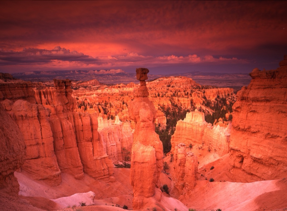
  4. 4Thor’s HammerSight
  5. 5Sunrise PointSight
  6. 6Natural BridgeSight

Take Parkwolf to Bryce Canyon.

The audio tour guide for the drive, plus offline maps, trails, and wildlife heatmaps for when the signal drops.

4.7 from 8,600+ ratings

Download Parkwolf on the App StoreGet Parkwolf on Google Play