Parking
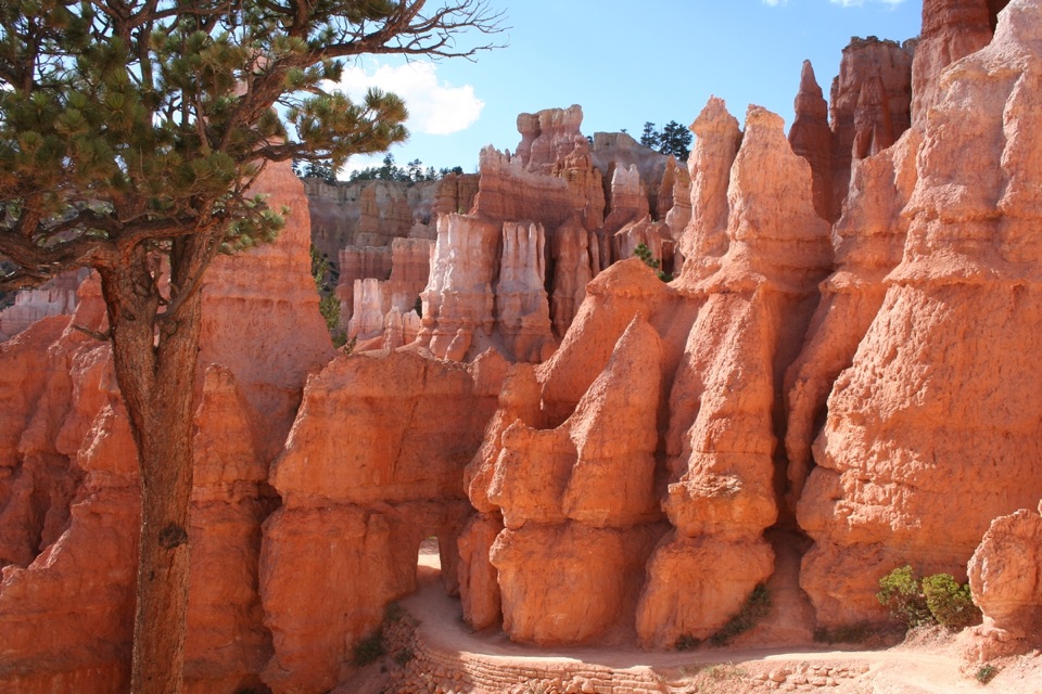
Use the small pullout on the east side of Scenic Southern Drive near mile 9, at the Whiteman Connecting Trail trailhead.
Bryce Canyon National Park, UT
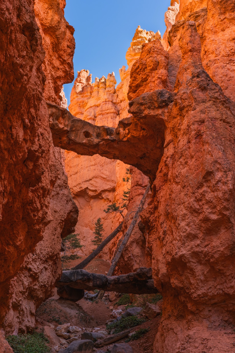
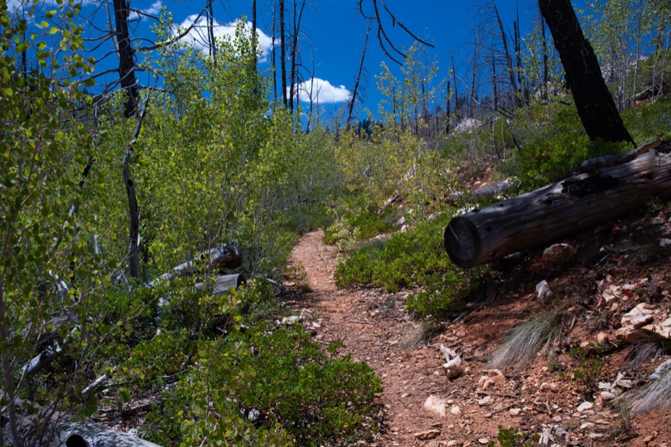
A wooded descent reaches the Under-the-Rim backcountry trail.
Overview
Map & elevation
Plan your hike

The highest, rockiest slopes around here are a summer buffet for grizzly bears.
Bryce Canyon Tour Guide
Parkwolf is a GPS audio tour guide for Bryce Canyon National Park. As you drive, it chimes in with what’s ahead: hidden gems, upcoming stops, history, geology, and wildlife, right through your car’s speakers.
Recorded for this trailhead
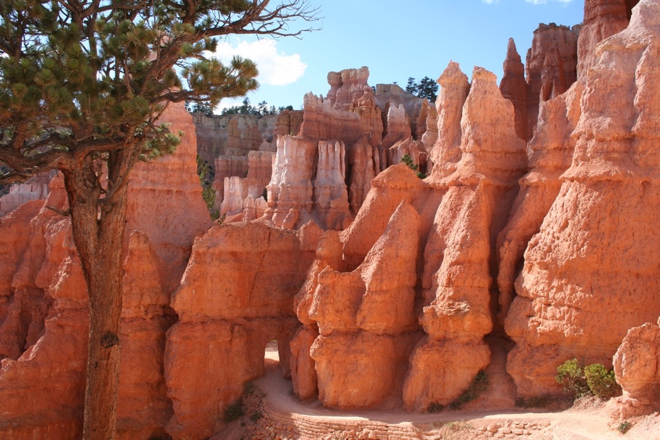
Whiteman Connecting Trail: A Wooded Walk Below the Rim“You're approaching the Whiteman Connecting Trail trailhead, for a wooded walk below the rim. Along the route, a fire-scarred slope opens a view of distant pink cliffs.”
Plays as you drive up to this trailhead in the Parkwolf Bryce Canyon Tour Guide.
More stories near here in the app
“Super fun and useful app! We especially enjoyed the guide as we drove through Bryce Canyon National Park.”


Trail guide
Whiteman Connecting Trail is an out-and-back from the pullout on Scenic Southern Drive near mile 9 to a junction with the Under-the-Rim Trail. The connector is about one mile each way, so walking back to the road makes it 2 miles round trip. Allow about 1½ to 2 hours. It is a handy way to sample Bryce’s wooded backcountry without taking on the much longer Under-the-Rim route, though the return climb is the catch.
From the pullout, the path heads south and briefly parallels the road before entering juniper-pine forest. It turns northeast by a dry wash and follows the wash downhill to the Under-the-Rim junction. The descent is about 490 feet; on the way back, climb most of it. A fire-scarred slope opens to distant pink cliffs. For the wider Mud Canyon views, continue north on Under-the-Rim beyond this trail’s mapped endpoint.
Wildlife
 15 sightingsWapitiMost seen around 6 AMSighting map
 50 sightingsUtah Prairie DogMost seen around 9 AMSighting map
 331 sightingsMule DeerMost seen around 7 AMSighting map
 118 sightingsPronghornMost seen around 6 PMSighting map
 41 sightingsTurkey VultureMost seen around noonSighting map
 44 sightingsWild TurkeyMost seen around 7 AMSighting map
Sighting maps show where each species has been reported across Bryce Canyon. Wildlife moves, so no sighting is guaranteed.
Keep exploring
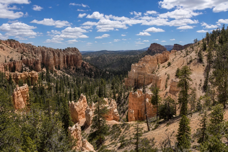 ModerateSwamp Canyon Connector Trail2.1 mi · 1.5 hr · 2.1 mi awayA short, steep drop takes you below the rim into piney canyon.
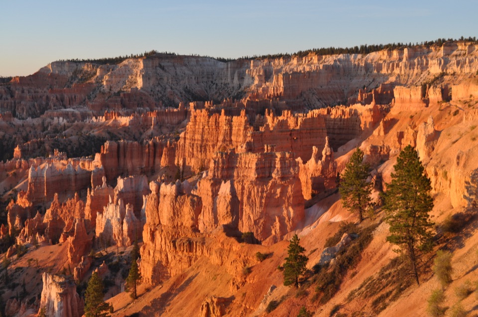 ModerateSheep Creek Trail5.8 mi · 4 hr · 2.1 mi awayFollow the cliffs down to a shaded campsite, then climb back out.
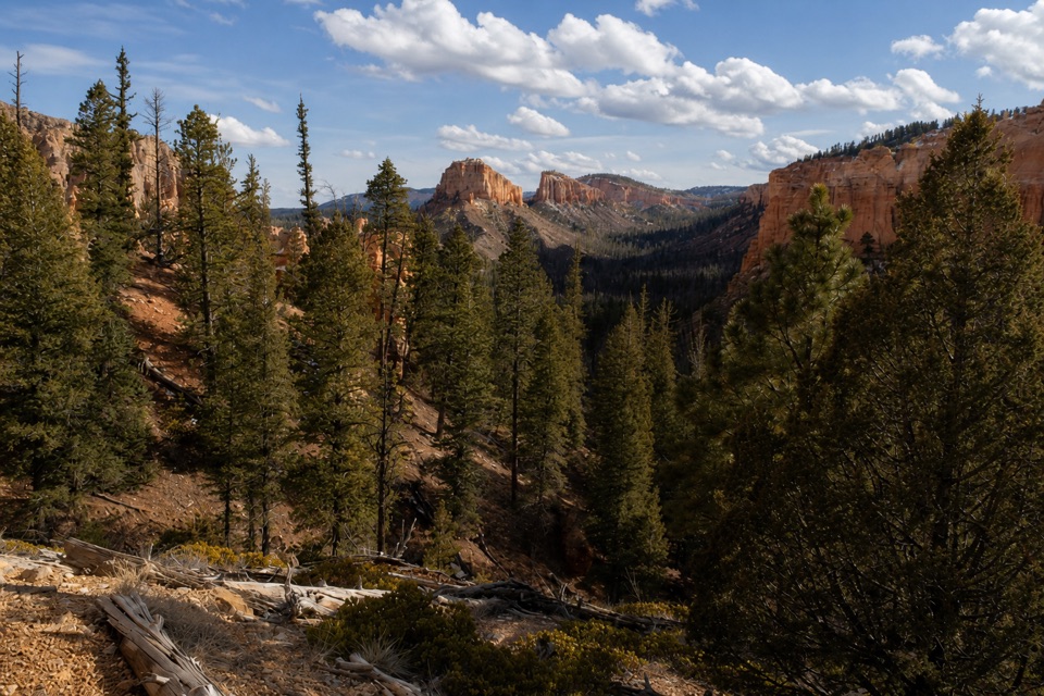 ModerateSwamp Canyon Loop4 mi · 3.5 hr · 2.1 mi awayA quieter loop through meadow, forest, and red-rock canyon country.
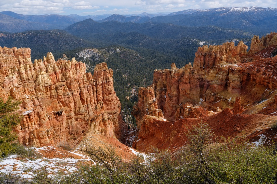 ModerateAgua Canyon Connecting Trail1.6 mi · 1 hr · 4.4 mi awayA steep, rocky link from Ponderosa Point to Under-the-Rim.
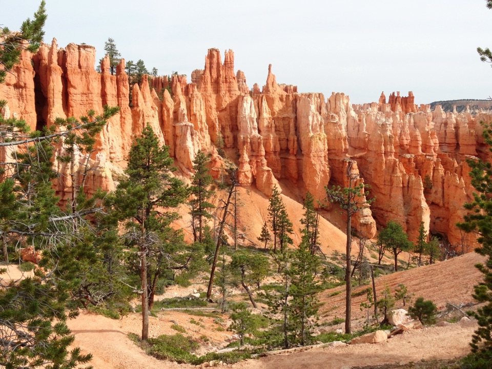 ChallengingPeekaboo Loop Trail5.5 mi · 3.5 hr · 5.2 mi awayWall of Windows close up; a 1,560-foot climb back to the rim.
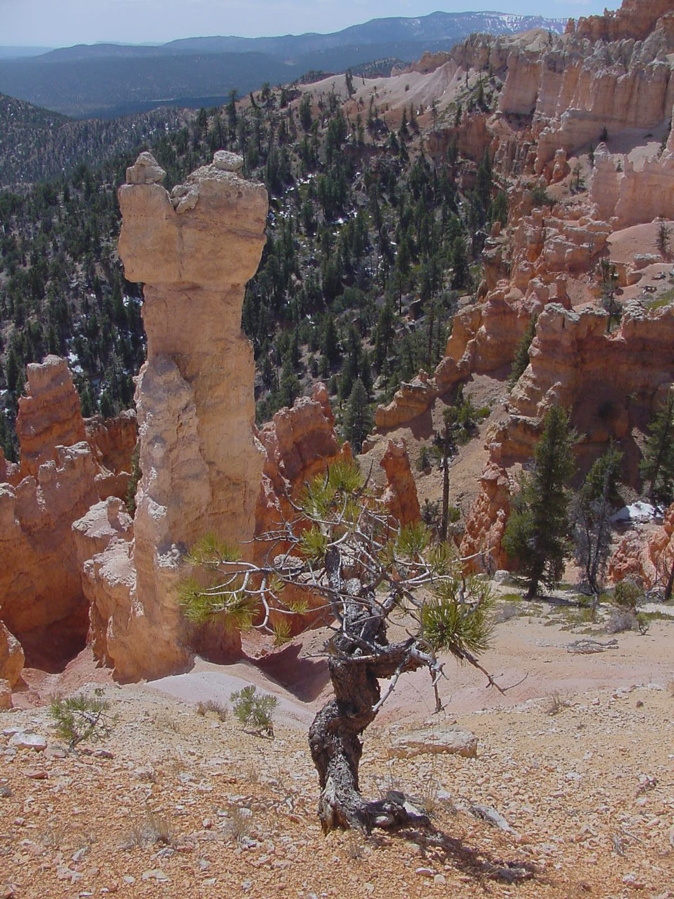 ChallengingHat Shop Trail4 mi · 3.5 hr · 5.2 mi awayA steep descent to gray-capped hoodoos, then the climb back.
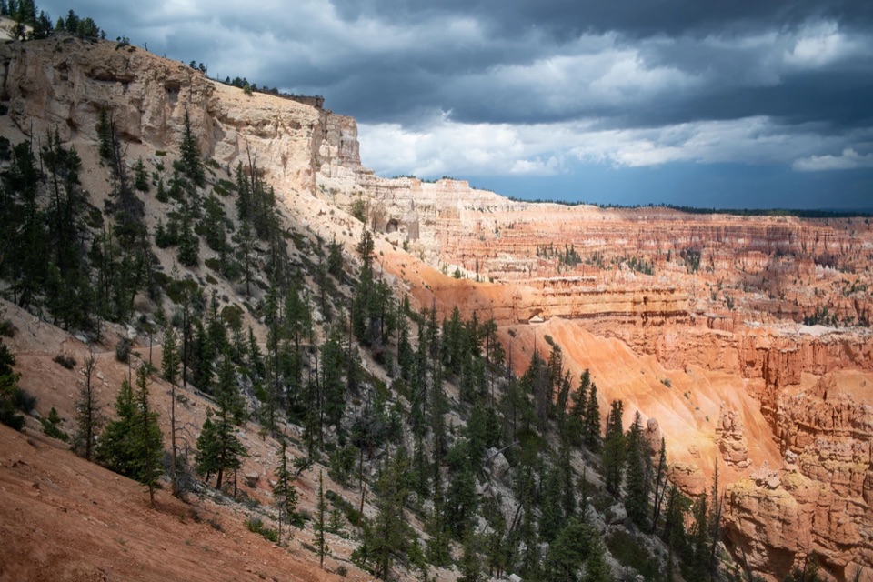 ChallengingBryce Amphitheater Traverse4.7 mi · 3.5 hr · 5.2 mi awayA hoodoo descent, a clockwise trail stretch, and a steep rim climb.
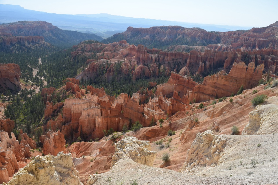 ModerateThe Rim Trail5.5 mi · 3.5 hr · 5.2 mi awayFive and a half rim miles link Bryce Amphitheater’s big overlooks.
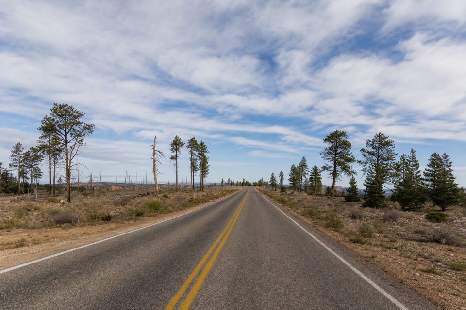 Picnic area · 0.5 mi awayWhiteman Bench Picnic AreaPicnic tables beside a visible story of forest recovery.
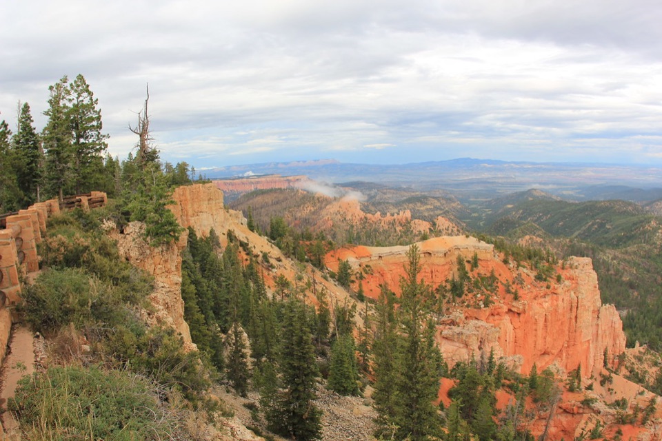 Sight · 1.3 mi awayPiracy PointA short walk to wooded views and an unusual watershed story.
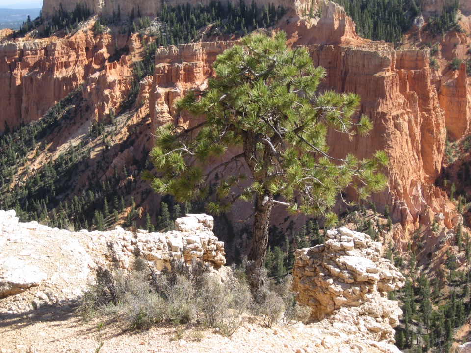 Sight · 1.5 mi awayFarview PointSee hoodoos give way to the long views of plateau country.
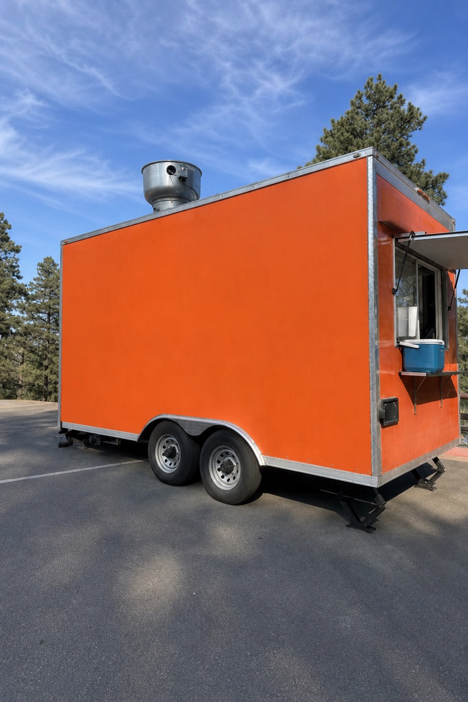 Food · 1.5 mi awayHoodoo FoodsA handy sandwich stop on the scenic drive.
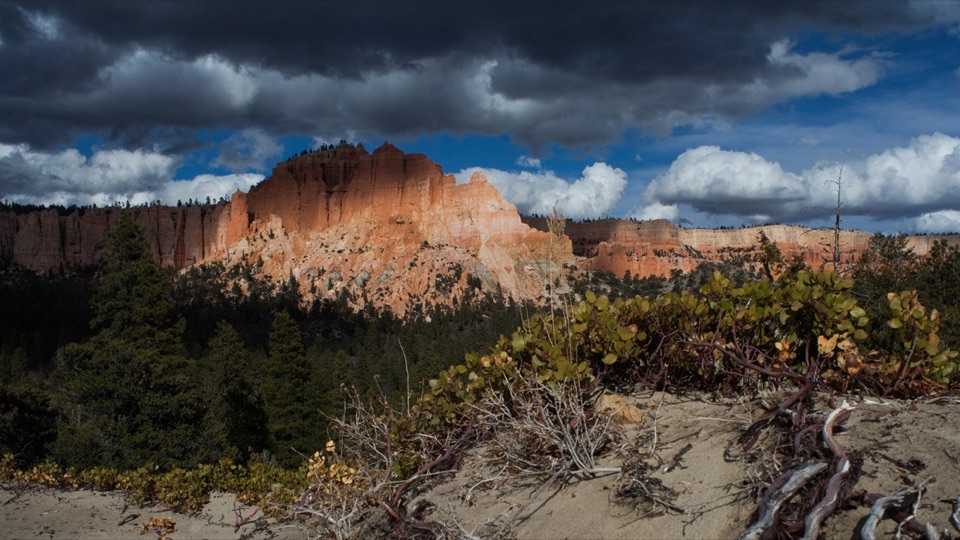 Sight · 2.1 mi awaySwamp CanyonSee Mud and Noon Canyon Buttes from a quick roadside pullout.
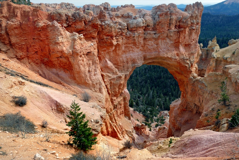 Sight · 2.6 mi awayNatural BridgeAn 85-foot arch frames a pine-filled canyon.
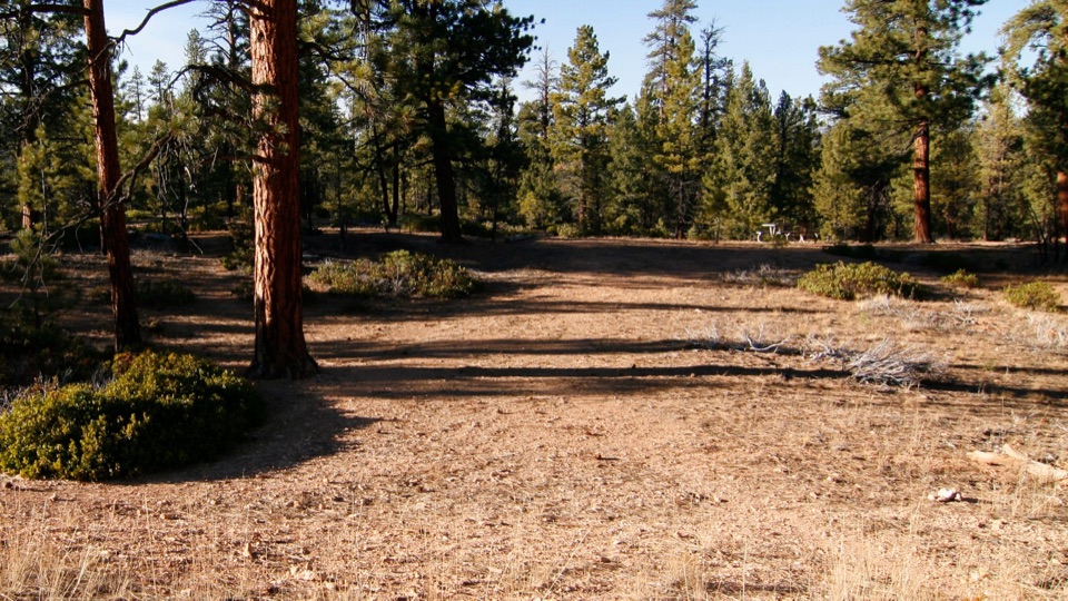 Picnic area · 3.5 mi awayCCC Picnic AreaA forested picnic break with a little CCC history nearby.
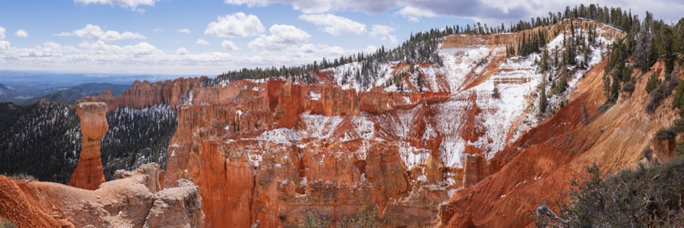 Sight · 3.7 mi awayAgua CanyonEye-level hoodoos, then a long view across the Grand Staircase.
Parkwolf’s Bryce Canyon ranking

The audio tour guide for the drive, plus offline maps, trails, and wildlife heatmaps for when the signal drops.