Parking
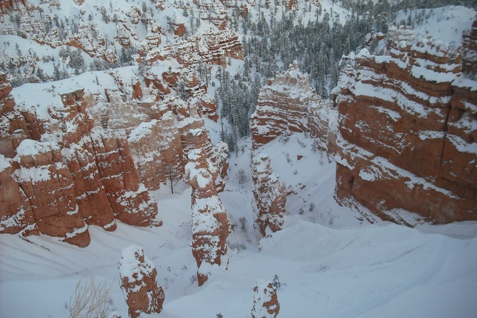
Start at Swamp Canyon Viewpoint, mile 6 of the Southern Scenic Drive. Oversized vehicles are permitted; there is no park shuttle south of Bryce Point.
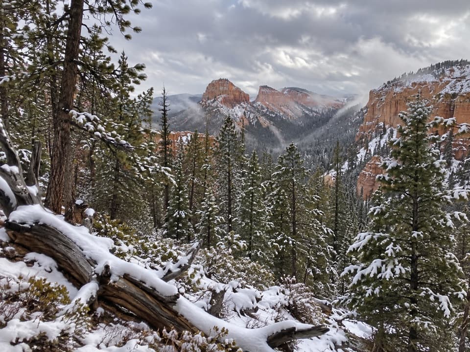
Bryce Canyon National Park, UT
A quieter loop through meadow, forest, and red-rock canyon country.
Overview
Map & elevation
Plan your hike

The highest, rockiest slopes around here are a summer buffet for grizzly bears.
Bryce Canyon Tour Guide
Parkwolf is a GPS audio tour guide for Bryce Canyon National Park. As you drive, it chimes in with what’s ahead: hidden gems, upcoming stops, history, geology, and wildlife, right through your car’s speakers.
See the Bryce Canyon audio tourRecorded for this trailhead
Swamp Canyon: Why the Name Fits“Swamp Canyon's overlook is coming up, with Mud and Noon Canyon Buttes beyond the rim. Two tiny creeks and a spring keep the canyon below unusually wet for Bryce, supporting grasses and willows.”
Plays as you drive up to this trailhead in the Parkwolf Bryce Canyon Tour Guide.
More stories near here in the app
“Super fun and useful app! We especially enjoyed the guide as we drove through Bryce Canyon National Park.”


Trail guide
Swamp Canyon Loop is a moderate circuit from Swamp Canyon Viewpoint into Bryce’s forested backcountry. Clockwise, it follows Sheep Creek Connector, 1.1 miles of Under-the-Rim Trail, then Swamp Canyon Connector back to the viewpoint. The official figure is four miles, with three to four hours on foot. A connected measurement of the mapped line is about 4.4 miles, so leave slack in your schedule. You trade the close-packed hoodoos of the amphitheater for woods, an open meadow, and a walk through the namesake canyon.
Going counterclockwise sends you down the broad Swamp Canyon ravine first, then leaves the Sheep Creek side for the climb back to the rim; some hikers prefer this more gradual wooded finish. Either way, expect about 800 feet of climbing over the loop. Wayfinding is sparse compared with Bryce Amphitheater trails, so carry a paper map or download one before you set out.
The Sheep Creek side crosses a meadow near the rim; late spring is the season most associated with its wildflowers. The route enters a wooded plateau and descends past exposed sandstone. Red formations appear in gaps between the trees before the drainage opens into a sandy, earthen gully.
At the junction, the loop follows 1.1 miles of Under-the-Rim Trail through woods, below a steep promontory and over a sandy saddle. It then descends a hillside toward the flat floor of Swamp Canyon. This section feels more like a backcountry traverse than the exposed hoodoo walks around the main amphitheater.
This connector follows a broad ravine between the viewpoint and canyon floor. Clockwise, you climb it out; counterclockwise takes you down it near the start. The route begins more gently and gets steeper near the rim, where orange-red formations rise beside the trail. For a photo, include the pines and some trail-side foreground with the formations; the wooded slope gives the rock its scale.
Wildlife
 15 sightingsWapitiMost seen around 6 AMSighting map
 51 sightingsUtah Prairie DogMost seen around 9 AMSighting map
 334 sightingsMule DeerMost seen around 7 AMSighting map
 120 sightingsPronghornMost seen around 6 PMSighting map
 41 sightingsTurkey VultureMost seen around noonSighting map
 44 sightingsWild TurkeyMost seen around 7 AMSighting map
Sighting maps show where each species has been reported across Bryce Canyon. Wildlife moves, so no sighting is guaranteed.
Keep exploring
 ModerateSheep Creek Trail5.8 mi · 4 hr · At the trailheadFollow the cliffs down to a shaded campsite, then climb back out.
 ModerateSwamp Canyon Connector Trail2.1 mi · 1.5 hr · At the trailheadA short, steep drop takes you below the rim into piney canyon.
 ModerateWhiteman Connecting Trail2 mi · 1.5 hr · 2.1 mi awayA wooded descent reaches the Under-the-Rim backcountry trail.
 ChallengingHat Shop Trail4 mi · 3.5 hr · 3.3 mi awayA steep descent to gray-capped hoodoos, then the climb back.
 ChallengingBryce Amphitheater Traverse4.7 mi · 3.5 hr · 3.3 mi awayA hoodoo descent, a clockwise trail stretch, and a steep rim climb.
 ChallengingPeekaboo Loop Trail5.5 mi · 3.5 hr · 3.3 mi awayWall of Windows close up; a 1,560-foot climb back to the rim.
 ModerateThe Rim Trail5.5 mi · 3.5 hr · 3.3 mi awayFive and a half rim miles link Bryce Amphitheater’s big overlooks.
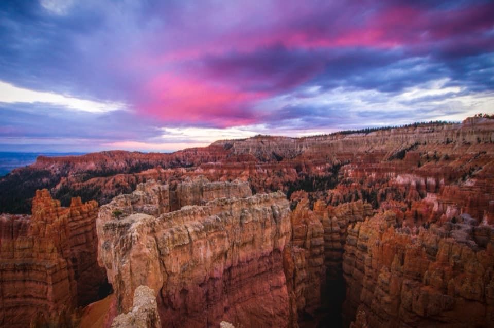 EasySunset Point to Sunrise Point Hike1 mi · 1 hr · 3.5 mi awayA paved half-mile rim walk with Bryce’s classic hoodoo view.
 Sight · At the trailheadSwamp CanyonSee Mud and Noon Canyon Buttes from a quick roadside pullout.
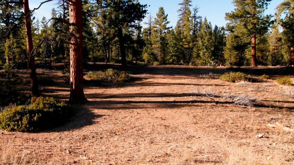 Picnic area · 1.5 mi awayCCC Picnic AreaA forested picnic break with a little CCC history nearby.
 Sight · 2.4 mi awayParia ViewA quieter overlook above Yellow Creek’s 500-foot amphitheater
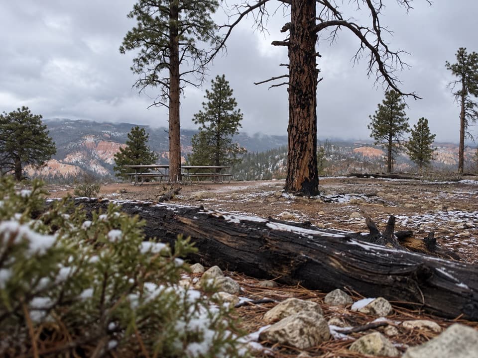 Picnic area · 2.6 mi awayWhiteman Bench Picnic AreaPicnic tables beside a visible story of forest recovery.
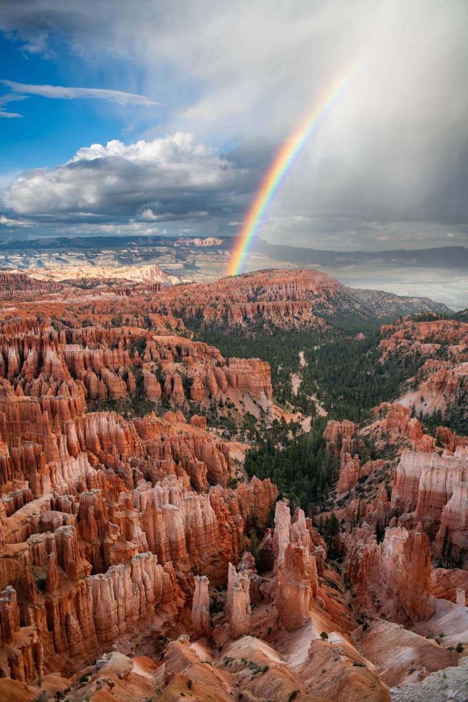 Sight · 3.1 mi awayInspiration PointThree levels offer different angles over the hoodoo amphitheater.
 Sight · 3.1 mi awayWall of WindowsA close-up of this limestone fin comes with a full hike.
 Campground · 3.2 mi awaySunset CampgroundStay among pines, with an RV loop and two tent-only loops.
 Restroom · 3.2 mi awayPeekaboo Loop RestroomA seasonal pit toilet on the west side of Peekaboo Loop.
Parkwolf’s Bryce Canyon ranking

The audio tour guide for the drive, plus offline maps, trails, and wildlife heatmaps for when the signal drops.