Farview Point in Bryce Canyon National Park

Sight · Bryce Canyon National Park

Farview Point

See hoodoos give way to the long views of plateau country.

Photo: Wikimedia Commons
Type
Sight
Nearest trail
1.5 mi
Audio stories
4 nearby
  • Scenic viewpoint
  • Parking
  • Restrooms

Hear the audio tour

Farview and Piracy Point: A Break Above the Valleys

Overview

About Farview Point

Why stop

  • Far-ranging views add a different scale to the southern drive.

Heads up

  • Less concentrated hoodoo scenery than the main amphitheater viewpoints.

Map

Where it is

Loading the Bryce Canyon map
Full map
SightFarview Point37.54455, -112.24686
Keep this map with you offline in the Parkwolf app

Plan your stop

Before you go

3 active Bryce Canyon alerts

  • ClosureWall Street closed after recent rainsWall Street is closed until further notice because of recent rains. - Other park trails are open, but hikers are urged to use caution. Check current park conditions before hiking.Official details
  • CautionUnder-the-Rim Trail damage and hiker advisoryUnder-the-Rim Trail conditions are deteriorated in many places; hike at your own risk. - Use a map and be able to navigate in the backcountry; strong wayfinding skills are essential.Official details

See all 3 alerts
A park ranger sits on a dash-mounted phone, talking, as Parkwolf’s Tour Guide plays “Army Cutworm Moths: A Grizzly Bear Buffet” on Grand Loop Road below Dunraven Pass in Yellowstone
Parkwolf Tour GuideThe highest, rockiest slopes around here are a summer buffet for grizzly bears.

Bryce Canyon Tour Guide

Your drive to Farview Point, narrated.

Parkwolf is a GPS audio tour guide for Bryce Canyon National Park. As you drive, it chimes in with what’s ahead: hidden gems, upcoming stops, history, geology, and wildlife, right through your car’s speakers.

See the Bryce Canyon audio tour

Recorded for this place

Farview and Piracy Point: A Break Above the Valleys
0:00 / 0:35
“Up ahead is Farview Point, a stop for broad valley views rather than close-packed hoodoos.”

Plays as you drive up to Farview Point in the Parkwolf Bryce Canyon Tour Guide.

More stories near here in the app

  • Whiteman Bench Picnic Area: Life After Fire
  • Natural Bridge: A Roadside Arch
  • Whiteman Connecting Trail: A Wooded Walk Below the Rim
  • Agua Canyon: Trees on the Hunter
  • 30 audio storiesacross Bryce Canyon’s roads, triggered by GPS as you drive
  • Wildlife heatmapsfor Wapiti, Utah Prairie Dog, Mule Deer, and 13 more
  • Works offlinemaps, 24 trails, 41 places, and audio download before you lose signal
  • CarPlay readysimple controls built for the drive
★★★★★
“Super fun and useful app! We especially enjoyed the guide as we drove through Bryce Canyon National Park.”
Rae607App Store review
Download Parkwolf on the App StoreGet Parkwolf on Google Play

4.7 from 8,600+ ratings

Guide

More about Farview Point

A stop for the horizonFarview Point is a roadside overlook at mile 10.

Farview Point is a roadside overlook at mile 10.25 of Bryce Canyon's 18-mile Southern Scenic Drive, one of nine viewpoints along the route. Stop for a broader, longer view of the plateau country; this is more about distance than the tight hoodoo clusters at Bryce Amphitheater. The parking lot sits beside the overlook, which is listed as wheelchair accessible and has a restroom.

Look beyond the hoodoosTo the east, Paria Valley opens toward the Grand Staircase, with Table Cliff Plateau across it.

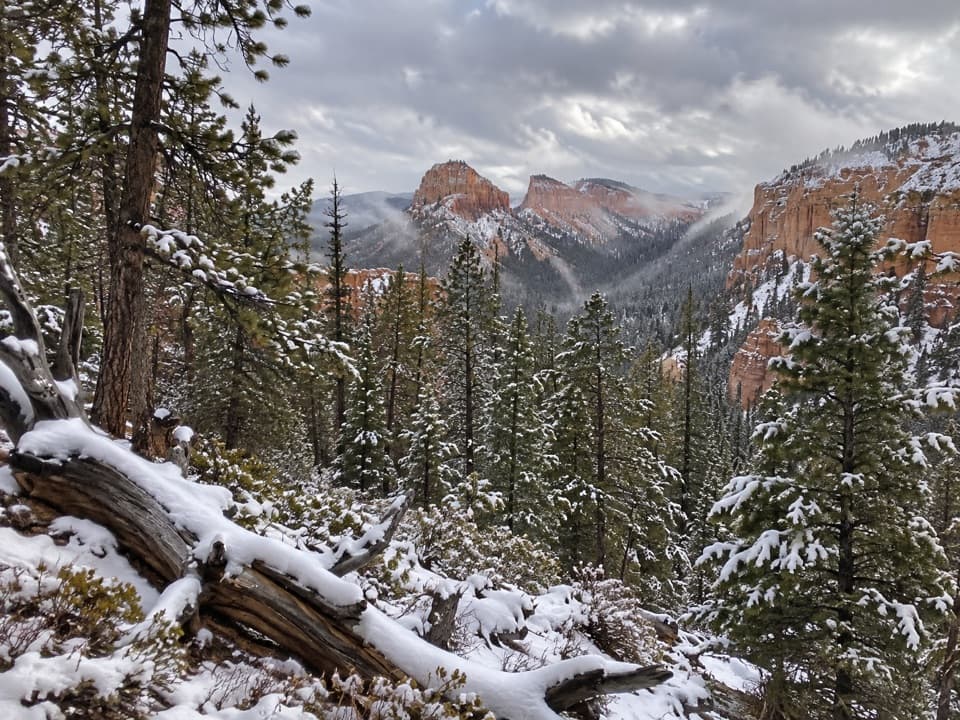
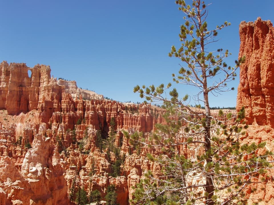
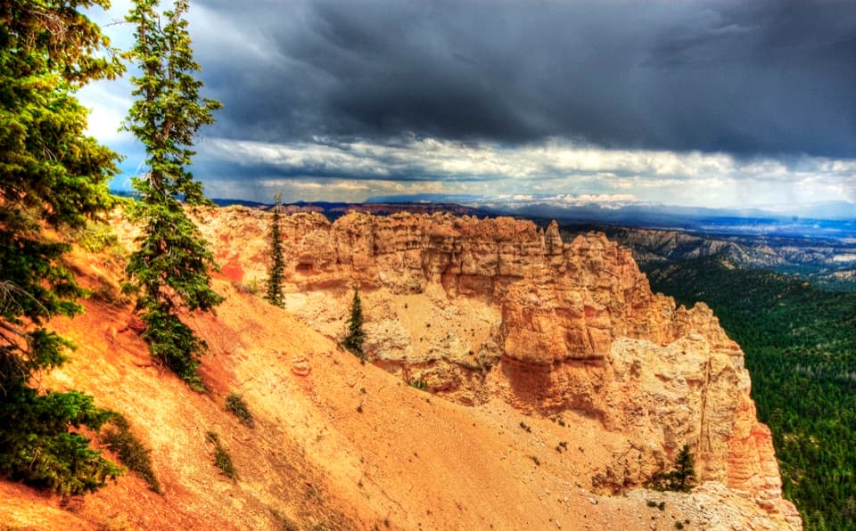
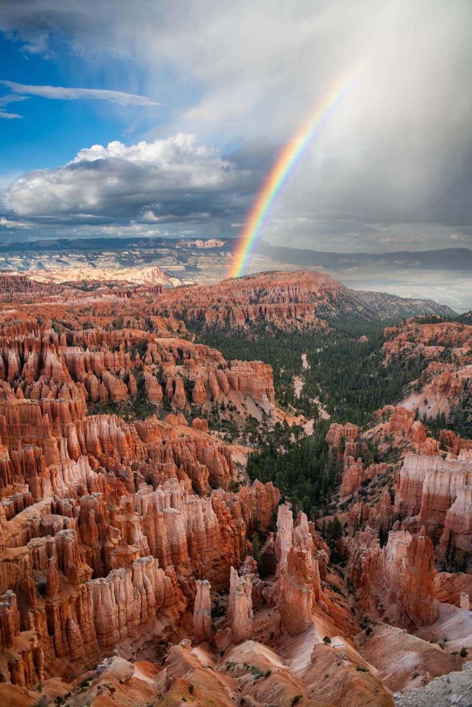
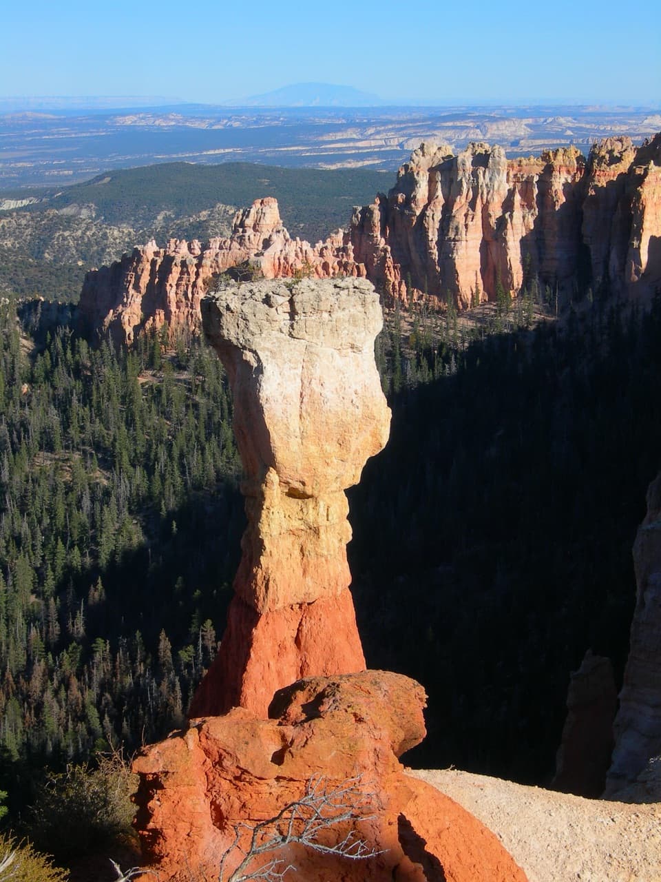
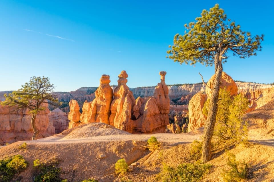
To the east, Paria Valley opens toward the Grand Staircase, with Table Cliff Plateau across it. On clear days you can pick out Navajo Mountain roughly 90 miles away and the Henry Mountains about 84 to 86 miles distant. Southward, hoodoos edge the start of Rainbow Point amphitheater, above pine and fir forest about 1,000 feet below. For a layered photo, frame a rim pine against the orange formations and the forested drop.

Read the step in the landscapeTable Cliff Plateau rises to around 10,000 feet and is capped by the same Claron formation,…

Table Cliff Plateau rises to around 10,000 feet and is capped by the same Claron formation, also called the Pink Cliffs, that erodes into Bryce's hoodoos. The Paunsaugunt fault runs along the park's eastern edge; uplift and faulting leave an elevation change of nearly 2,000 feet between the plateau and the country beyond it.

Mountains that never eruptedNavajo Mountain is a laccolith: molten rock pushed upward and swelled the rock above it, then…

Navajo Mountain is a laccolith: molten rock pushed upward and swelled the rock above it, then cooled underground instead of breaking through as a volcano. The Henry Mountains share that origin. Erosion has stripped away their overlying rock and exposed the harder igneous cores, so the distant peaks are part of the same long story as the cliffs around you.

Add Piracy Point on footA separate viewpoint, Piracy Point, is a short walk north from Farview's parking lot on a flat,…

A separate viewpoint, Piracy Point, is a short walk north from Farview's parking lot on a flat, unpaved path about 0.15 mile long. It's a useful extra angle if you want to stretch your legs; don't confuse it with the roadside Farview overlook. The accessibility listing applies to Farview, while the Piracy spur is unpaved.

Forest at the rimFarview sits near the transition from ponderosa pine to mixed-conifer forest.

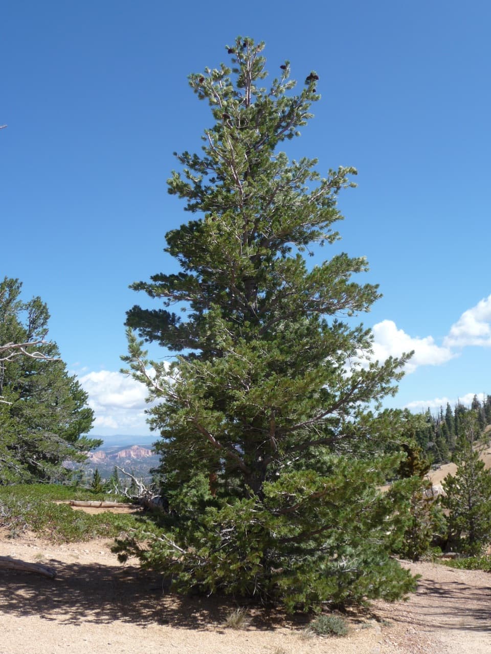
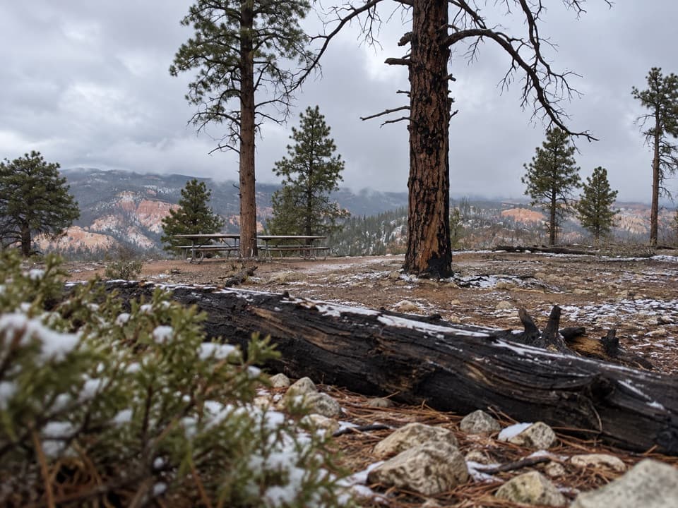
Farview sits near the transition from ponderosa pine to mixed-conifer forest. Look for showy goldeneye and shrubby cinquefoil among the flowers. Osprey have fished at nearby Tropic Reservoir, about two air miles away, and California condors have been recorded at southern Bryce overlooks, though sightings there have been rare.

Wildlife

Wildlife in Bryce Canyon

All Bryce Canyon wildlife maps

Sighting maps show where each species has been reported across Bryce Canyon. Wildlife moves, so no sighting is guaranteed.

Keep exploring

Near Farview Point

See it all on the map

Trails nearby

More stops nearby

Parkwolf’s Bryce Canyon ranking

Top sights in Bryce Canyon

All 41 places
  1. 1Bryce PointSight
  2. 2Sunset PointSight
  3. 3Inspiration PointSight
  4. 4Thor’s HammerSight
  5. 5Sunrise PointSight
  6. 6Natural BridgeSight

Take Parkwolf to Bryce Canyon.

The audio tour guide for the drive, plus offline maps, trails, and wildlife heatmaps for when the signal drops.

4.7 from 8,600+ ratings

Download Parkwolf on the App StoreGet Parkwolf on Google Play