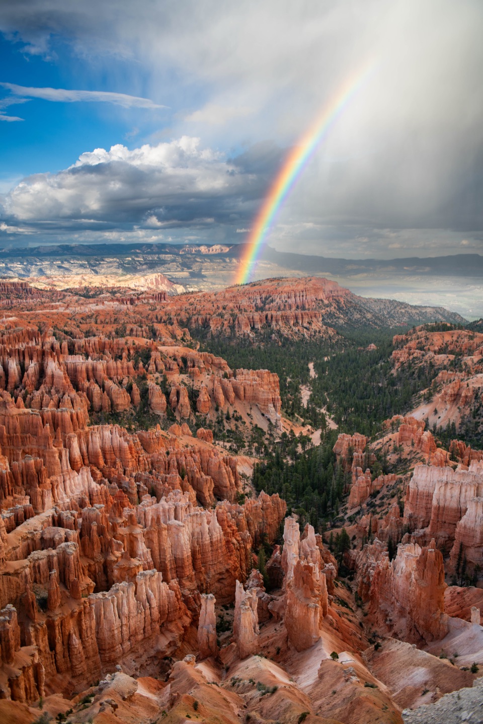
Agua Canyon in Bryce Canyon National Park

Sight · Bryce Canyon National Park

Agua Canyon

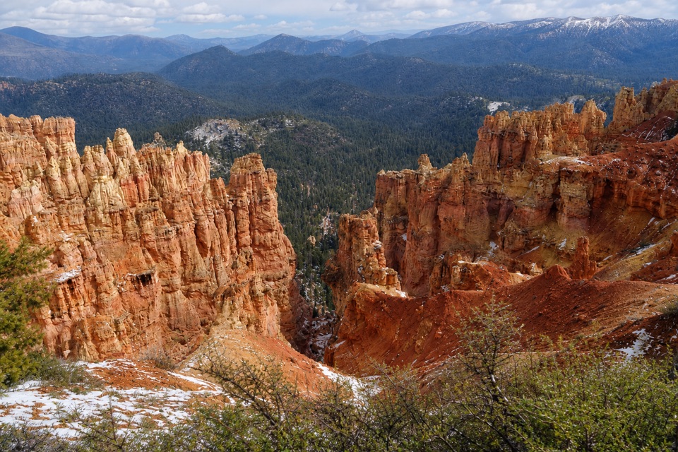
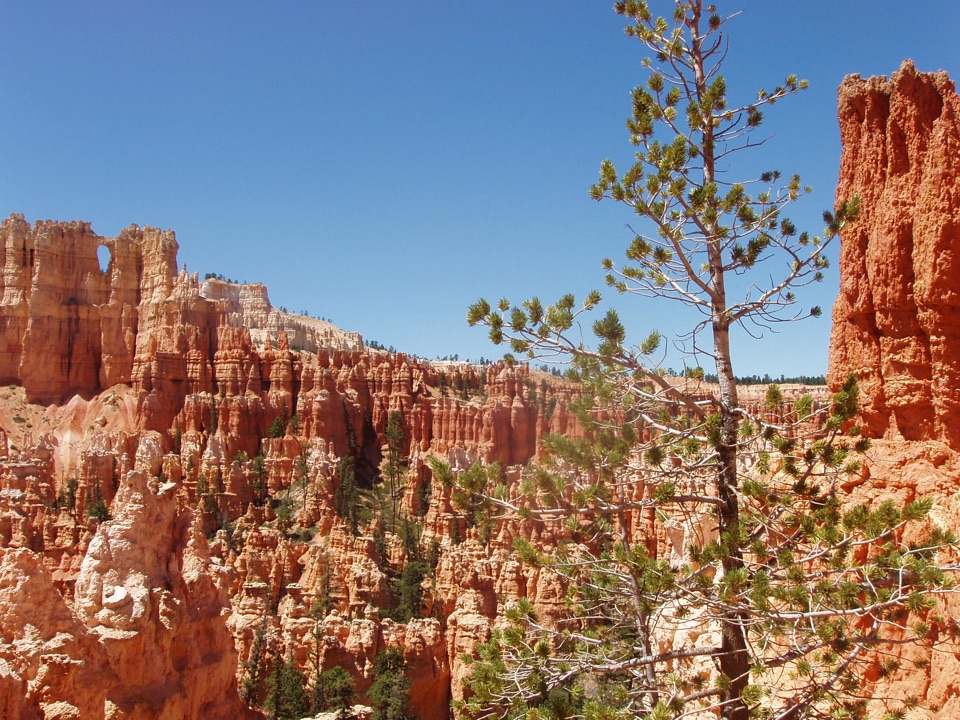
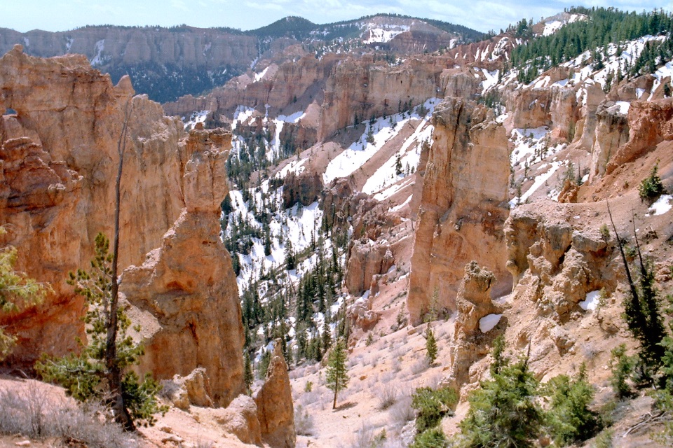
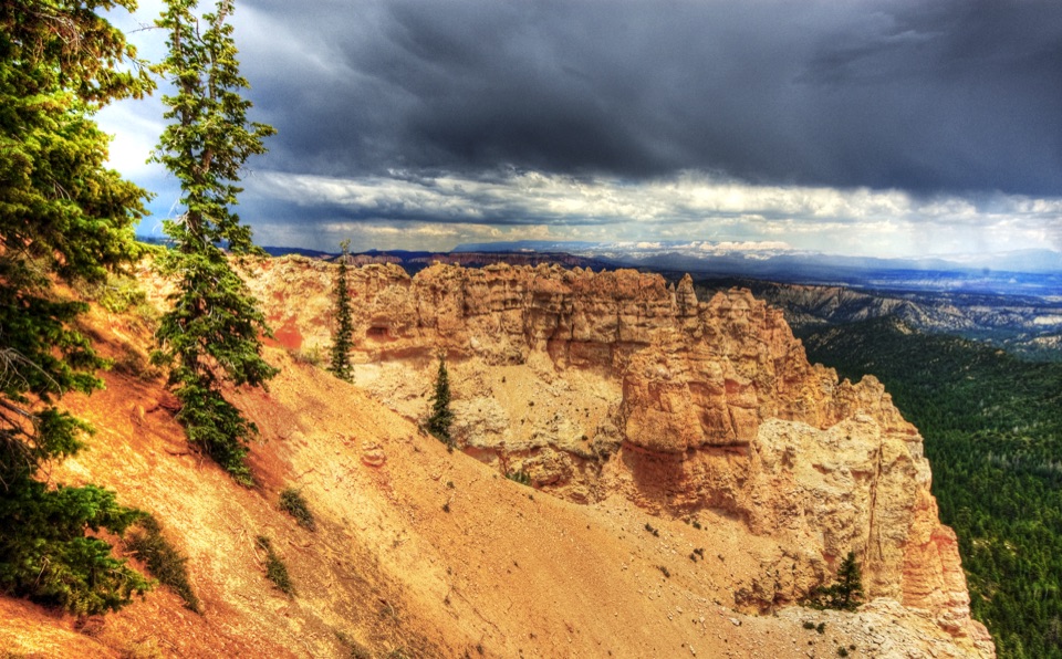
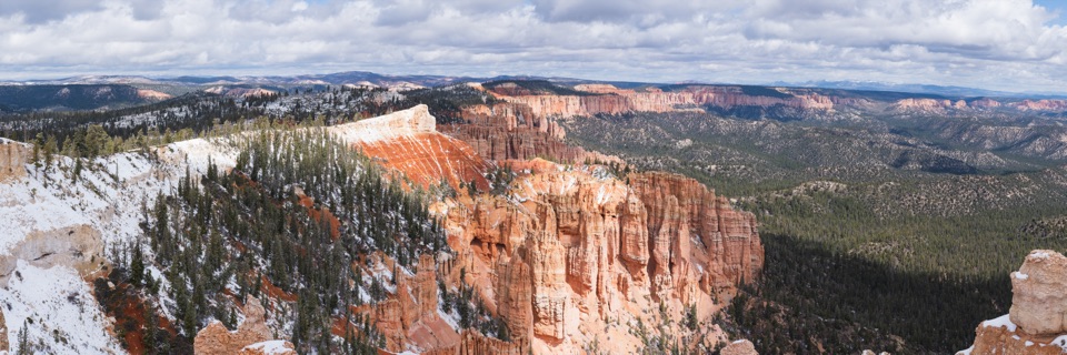
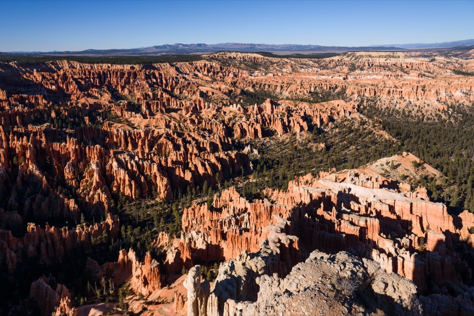
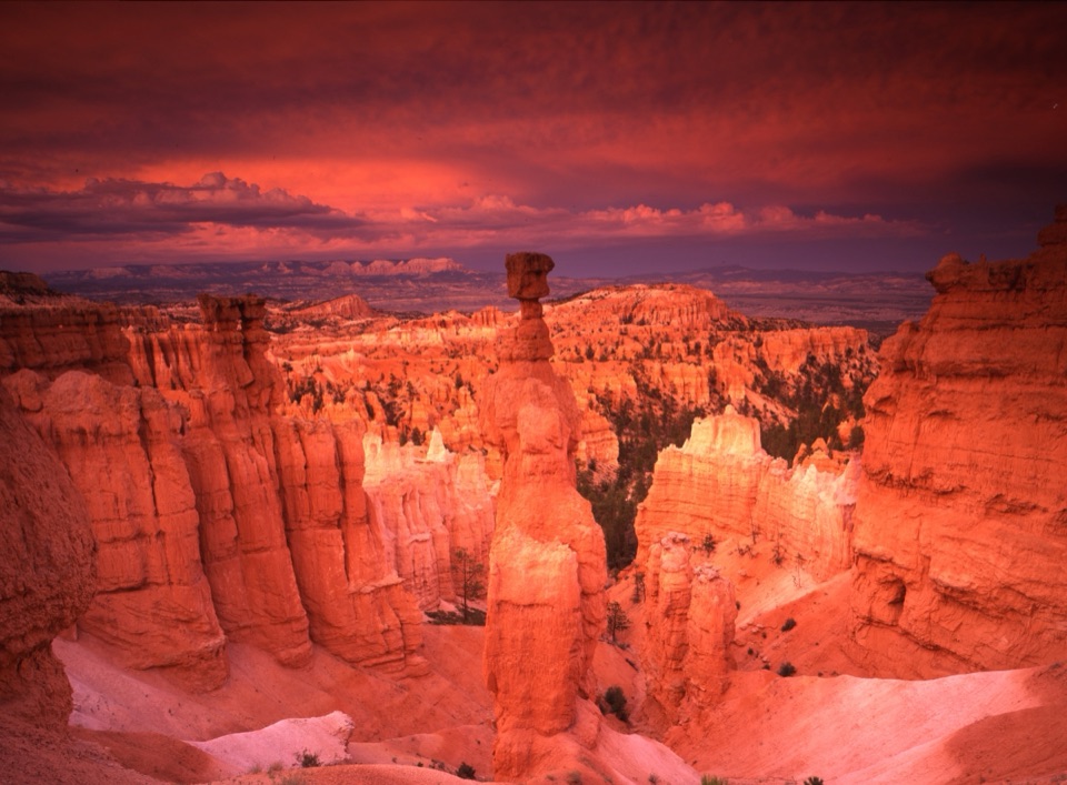
Eye-level hoodoos, then a long view across the Grand Staircase.

Photo: Wikimedia Commons
Type
Sight
Nearest trail
0.9 mi
Audio stories
4 nearby
  • Parking
  • Scenic viewpoint

Hear the audio tour

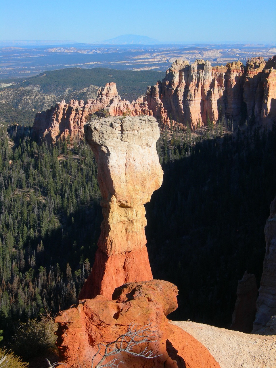
Agua Canyon: Trees on the Hunter

Overview

About Agua Canyon

Why stop

  • The Hunter and Rabbit/Backpacker rise close to the rim.
  • Wide view reaches across Paria Valley to the Grand Staircase.

Map

Where it is

Loading the Bryce Canyon map
Full map
SightAgua Canyon37.51646, -112.26483
Keep this map with you offline in the Parkwolf app

Plan your stop

Before you go

3 active Bryce Canyon alerts

  • ClosureTrail closures due to recent weather eventWall Street and the Bryce Connector Trail to Peekaboo Loop are closed until further notice because of a recent weather event. - Do not enter these closed trails.Official details
  • CautionCurrent fire restrictionsFires are allowed only in established fire pits throughout Bryce Canyon National Park.Official details
See all 3 alerts
A park ranger sits on a dash-mounted phone, talking, as Parkwolf’s Tour Guide plays “Army Cutworm Moths: A Grizzly Bear Buffet” on Grand Loop Road below Dunraven Pass in Yellowstone
Parkwolf Tour GuideThe highest, rockiest slopes around here are a summer buffet for grizzly bears.

Bryce Canyon Tour Guide

Your drive to Agua Canyon, narrated.

Parkwolf is a GPS audio tour guide for Bryce Canyon National Park. As you drive, it chimes in with what’s ahead: hidden gems, upcoming stops, history, geology, and wildlife, right through your car’s speakers.

Recorded for this place

Agua Canyon: Trees on the Hunter
0:00 / 0:29
“Agua Canyon's overlook is ahead, with red hoodoos rising almost at eye level above the open valley. Look closely at the taller tower, called the Hunter: limber pines grow right on top.”

Plays as you drive up to Agua Canyon in the Parkwolf Bryce Canyon Tour Guide.

More stories near here in the app

  • Ponderosa Canyon: Pines Far Below
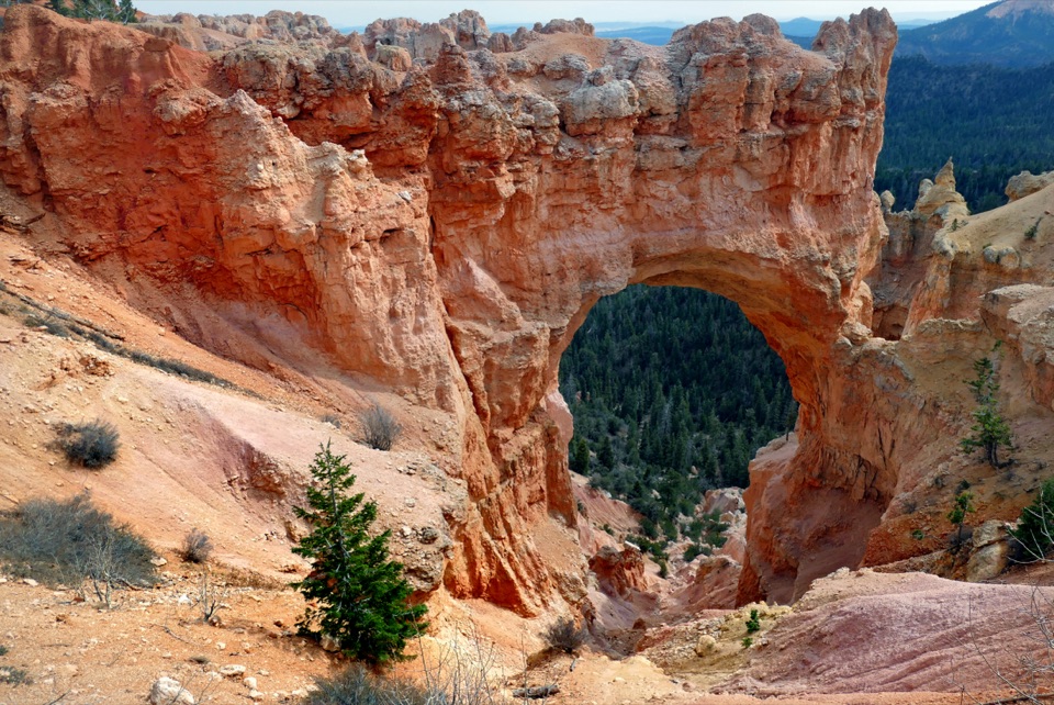
  • Natural Bridge: A Roadside Arch
  • Black Birch Canyon: A Likely Tree Mix-Up
  • Farview and Piracy Point: A Break Above the Valleys
  • 30 audio storiesacross Bryce Canyon’s roads, triggered by GPS as you drive
  • Wildlife heatmapsfor Wapiti, Utah Prairie Dog, Mule Deer, and 13 more
  • Works offlinemaps, 24 trails, 41 places, and audio download before you lose signal
  • CarPlay readysimple controls built for the drive
★★★★★
“Super fun and useful app! We especially enjoyed the guide as we drove through Bryce Canyon National Park.”
Rae607App Store review
Download Parkwolf on the App StoreGet Parkwolf on Google Play

4.7 from 8,600+ ratings

Guide

More about Agua Canyon

A quick stop on the southern driveAgua Canyon is a roadside viewpoint on Bryce Canyon’s Southern Scenic Drive, where two red…

Agua Canyon is a roadside viewpoint on Bryce Canyon’s Southern Scenic Drive, where two red hoodoos rise almost at eye level above an open view toward Paria Valley. It is one of nine viewpoints along the 18-mile drive, at mile 13.5. Stop for the close-up towers and a broad eastern panorama; no hike is needed for the main view.

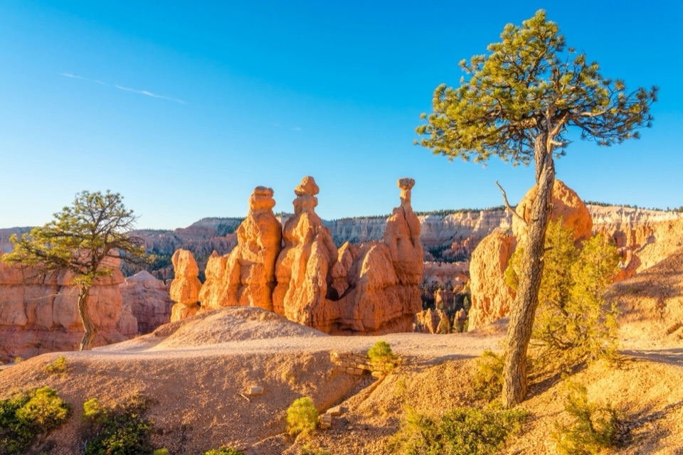
Start with the two towersThe Hunter is the taller tower on the left.

The Hunter is the taller tower on the left. To its right, the other is often called the Rabbit or the Backpacker. Their profiles invite competing guesses, with the wider amphitheater behind them giving the view its depth.

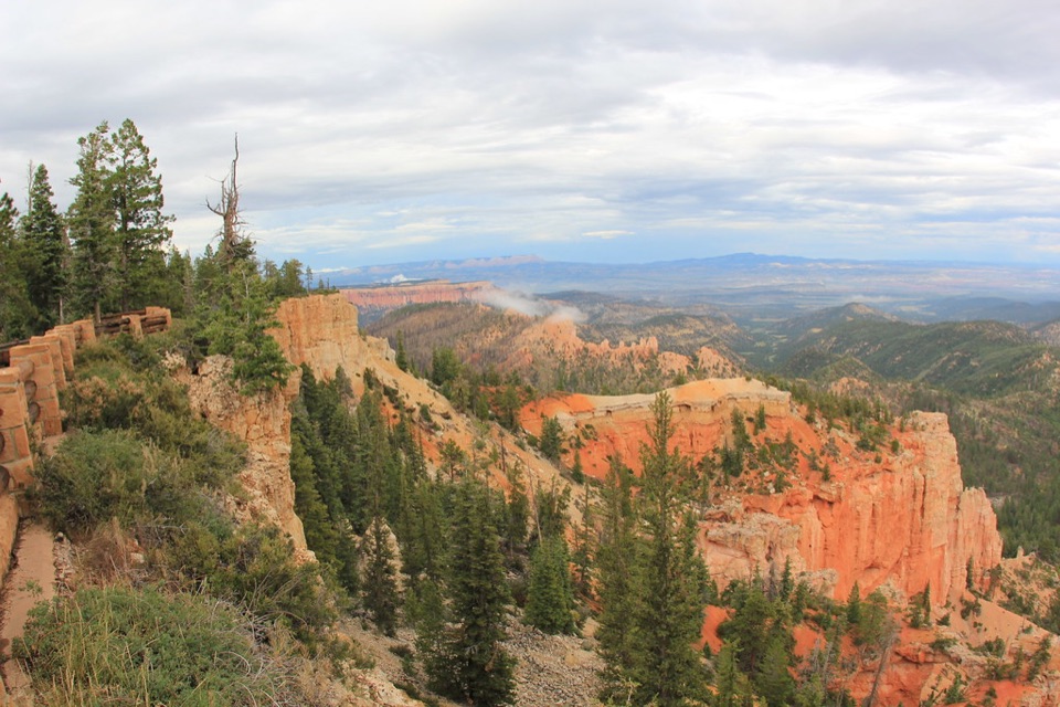
Frame near and farThe overlook faces tall hoodoos and a landscape that steps away through valleys and plateaus.

The overlook faces tall hoodoos and a landscape that steps away through valleys and plateaus. For a phone photo, keep one of the near towers in the frame with open country behind it; that gives the rock some scale. In clear air, look for Navajo Mountain and the Henry Mountains far out on the horizon.

Names that can changeEarly park staff gave names to many hoodoos.

Early park staff gave names to many hoodoos. Weathering and rockfalls changed or toppled some, so the park stopped assigning names and dropped more obscure ones from newer publications. The Hunter and Rabbit or Backpacker remain useful local handles; deciding what the shapes resemble is part of the fun.

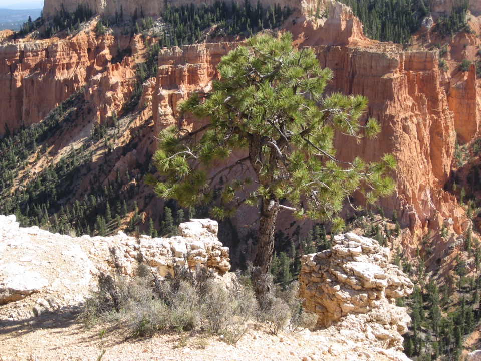
The rock under the colorThese hoodoos weather from iron-rich mudstones and limestone in the Claron Formation.

These hoodoos weather from iron-rich mudstones and limestone in the Claron Formation. Repeated freeze-thaw cycles gradually carve the towers and the surrounding amphitheater.

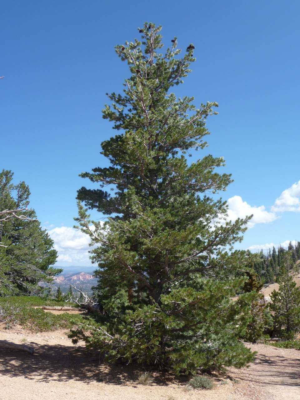
Trees on the HunterLook closely at the top of the Hunter: limber pines grow there.

Look closely at the top of the Hunter: limber pines grow there. The park’s natural history notes suggest Clark’s nutcrackers likely cached the seeds that took root on the hoodoo.

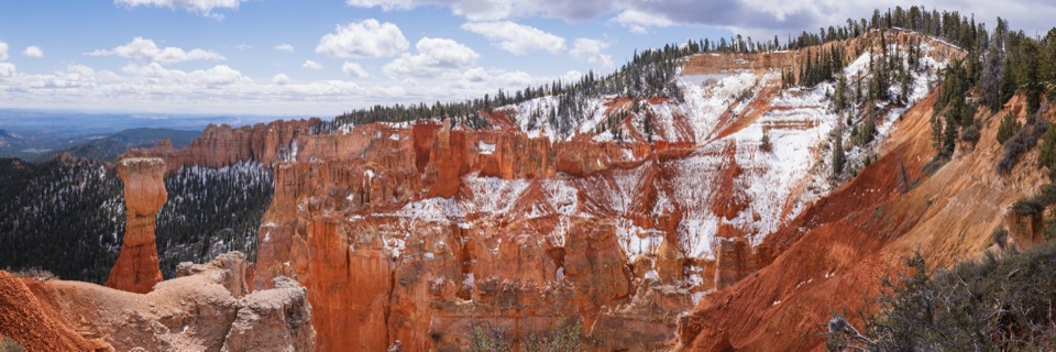
A much larger landscapeThe eastern view crosses Paria Valley to Table Cliff Plateau, about 10,000 feet high and made…

The eastern view crosses Paria Valley to Table Cliff Plateau, about 10,000 feet high and made of the same Claron Formation as Bryce’s hoodoos. The Paunsaugunt Fault marks nearly 2,000 feet of elevation difference across the landscape, shaped as the Colorado Plateau rose over roughly 20 million years. Navajo Mountain, more than 80 miles away, and the Henry Mountains, about 86 miles away, are laccoliths: magma rose into the rock above them and cooled underground. Erosion has exposed the Henry Mountains’ igneous cores.

Getting to the viewpointThe overlook is at mile 13.

The overlook is at mile 13.5 on Bryce’s 18-mile Southern Scenic Drive, with parking beside the view. The park lists Agua Canyon as wheelchair accessible. No trails start at the overlook, so begin any hike at a designated trailhead elsewhere.

Wildlife

Wildlife in Bryce Canyon

All Bryce Canyon wildlife maps

Sighting maps show where each species has been reported across Bryce Canyon. Wildlife moves, so no sighting is guaranteed.

Keep exploring

Near Agua Canyon

See it all on the map

Trails nearby

More stops nearby

Parkwolf’s Bryce Canyon ranking

Top sights in Bryce Canyon

All 41 places
  1. 1Bryce PointSight
  2. 2Sunset PointSight
  3. 3Inspiration PointSight
  4. 4Thor’s HammerSight
  5. 5Sunrise PointSight
  6. 6Natural BridgeSight

Take Parkwolf to Bryce Canyon.

The audio tour guide for the drive, plus offline maps, trails, and wildlife heatmaps for when the signal drops.

4.7 from 8,600+ ratings

Download Parkwolf on the App StoreGet Parkwolf on Google Play