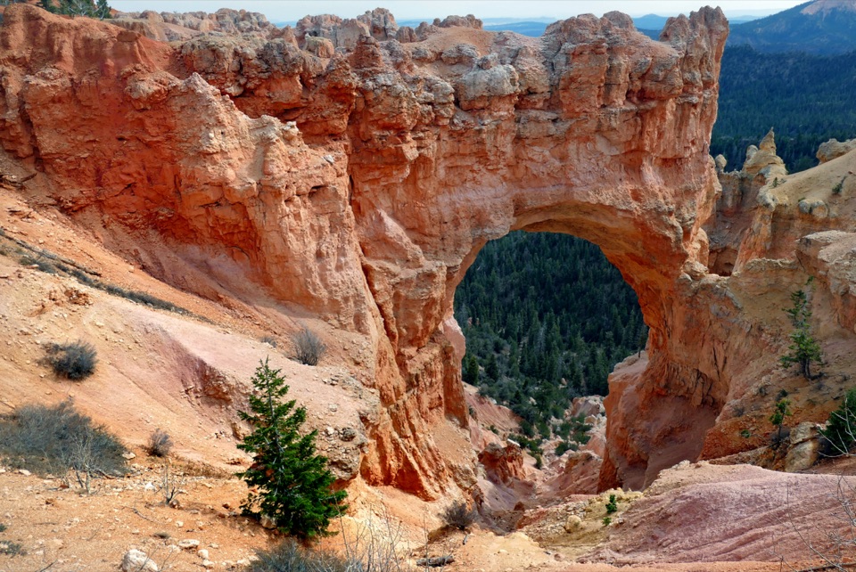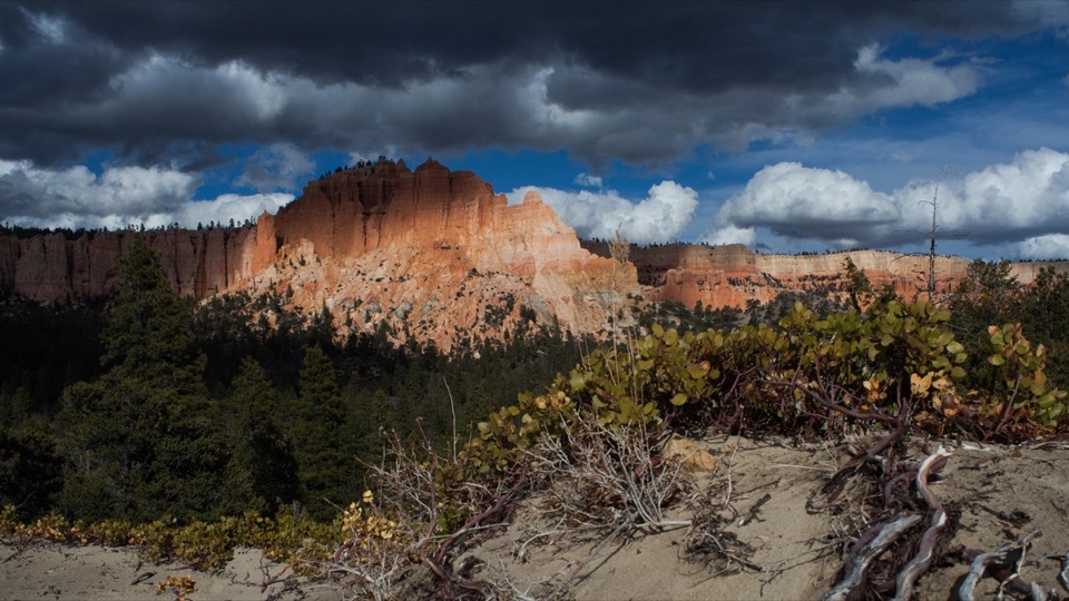
Swamp Canyon in Bryce Canyon National Park

Sight · Bryce Canyon National Park

Swamp Canyon

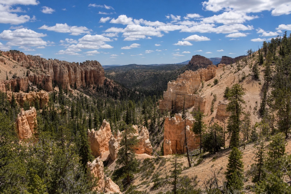
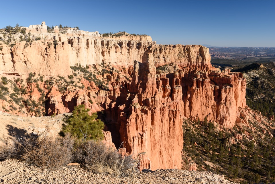
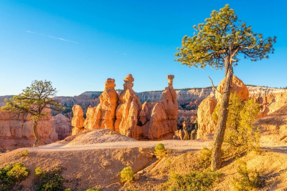
See Mud and Noon Canyon Buttes from a quick roadside pullout.

Photo: National Park Service
Type
Sight
Nearest trail
Right here
Audio stories
3 nearby
  • Parking
  • Scenic viewpoint

Hear the audio tour

Swamp Canyon: Why the Name Fits

Overview

About Swamp Canyon

Why stop

  • Named buttes in a quick roadside view

Map

Where it is

Loading the Bryce Canyon map
Full map
SightSwamp Canyon37.58738, -112.21354
Keep this map with you offline in the Parkwolf app

Plan your stop

Before you go

3 active Bryce Canyon alerts

  • ClosureTrail closures due to recent weather eventWall Street and the Bryce Connector Trail to Peekaboo Loop are closed until further notice because of a recent weather event. - Do not enter these closed trails.Official details
  • CautionCurrent fire restrictionsFires are allowed only in established fire pits throughout Bryce Canyon National Park.Official details

See all 3 alerts
A park ranger sits on a dash-mounted phone, talking, as Parkwolf’s Tour Guide plays “Army Cutworm Moths: A Grizzly Bear Buffet” on Grand Loop Road below Dunraven Pass in Yellowstone
Parkwolf Tour GuideThe highest, rockiest slopes around here are a summer buffet for grizzly bears.

Bryce Canyon Tour Guide

Your drive to Swamp Canyon, narrated.

Parkwolf is a GPS audio tour guide for Bryce Canyon National Park. As you drive, it chimes in with what’s ahead: hidden gems, upcoming stops, history, geology, and wildlife, right through your car’s speakers.

Recorded for this place

Swamp Canyon: Why the Name Fits
0:00 / 0:21
“Swamp Canyon's overlook is coming up, with Mud and Noon Canyon Buttes beyond the rim. Two tiny creeks and a spring keep the canyon below unusually wet for Bryce, supporting grasses and willows.”

Plays as you drive up to Swamp Canyon in the Parkwolf Bryce Canyon Tour Guide.

More stories near here in the app

  • The Pine That Smells Like Vanilla
  • CCC Picnic Area: The Camp Behind the Name
  • Whiteman Connecting Trail: A Wooded Walk Below the Rim
  • Paria View: A Mountain on the Horizon
  • 30 audio storiesacross Bryce Canyon’s roads, triggered by GPS as you drive
  • Wildlife heatmapsfor Wapiti, Utah Prairie Dog, Mule Deer, and 13 more
  • Works offlinemaps, 24 trails, 41 places, and audio download before you lose signal
  • CarPlay readysimple controls built for the drive
★★★★★
“Super fun and useful app! We especially enjoyed the guide as we drove through Bryce Canyon National Park.”
Rae607App Store review
Download Parkwolf on the App StoreGet Parkwolf on Google Play

4.7 from 8,600+ ratings

Guide

More about Swamp Canyon

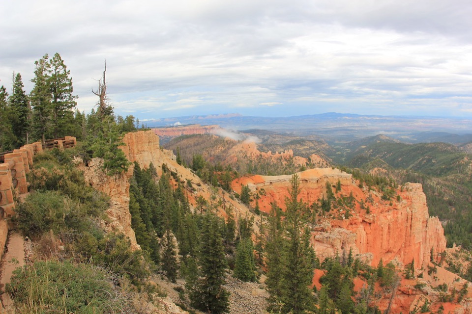
A roadside view on the south driveSwamp Canyon is a roadside overlook on Bryce Canyon’s Southern Scenic Drive, at mile 6 of the…

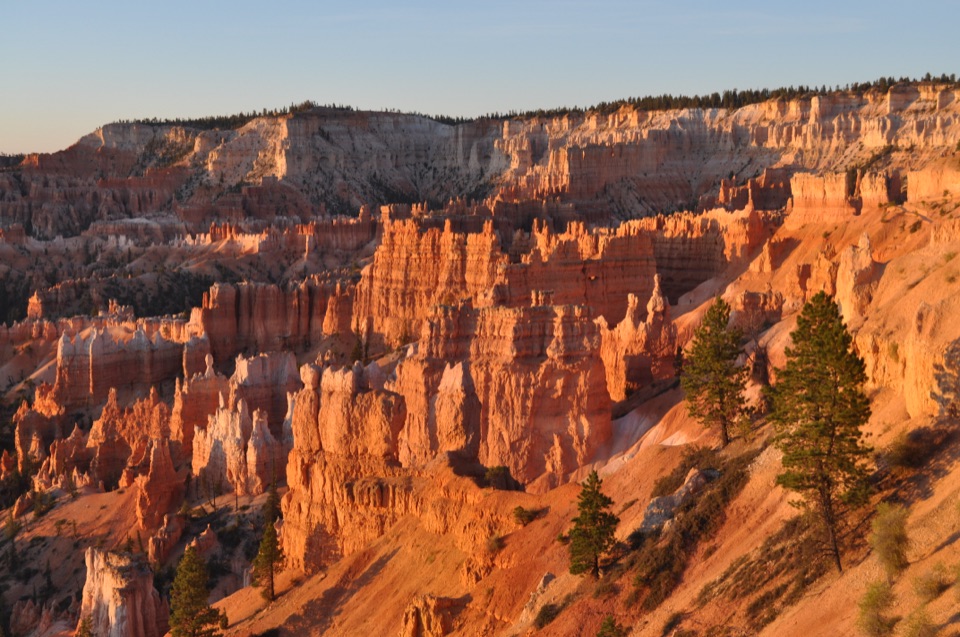
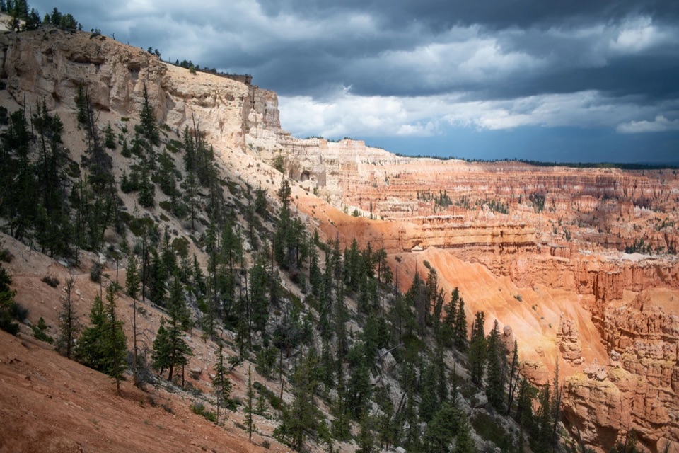
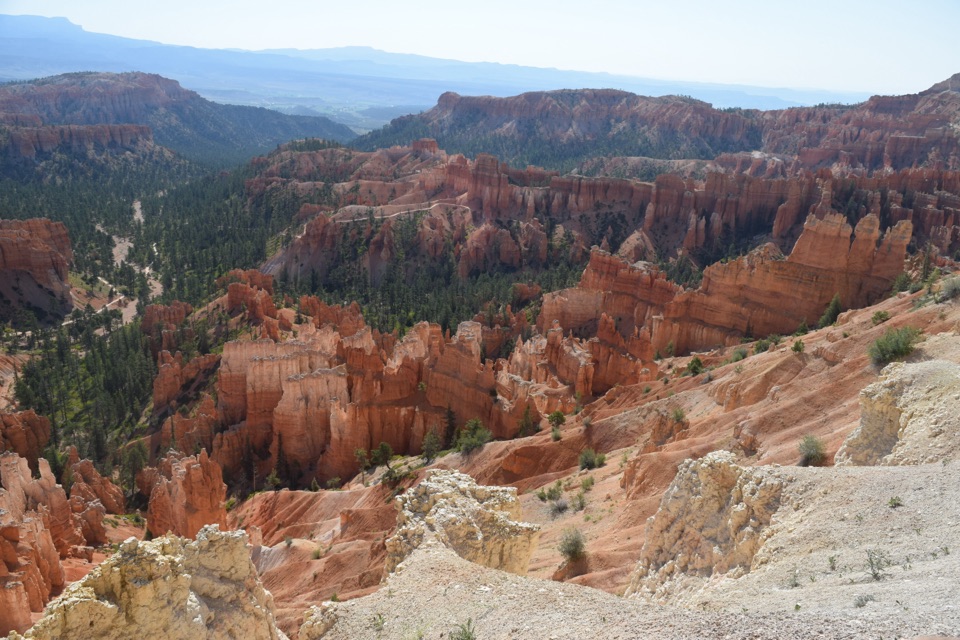
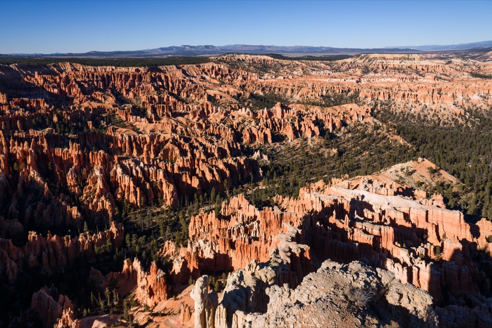
Swamp Canyon is a roadside overlook on Bryce Canyon’s Southern Scenic Drive, at mile 6 of the 18-mile route. It’s one of nine viewpoints along the drive and works best as a short pause if you’re already heading south: here, the hoodoo-filled Bryce Amphitheater starts giving way to steeper cliffs and buttes. The overlook is marked wheelchair accessible, though route and surface details aren’t given.

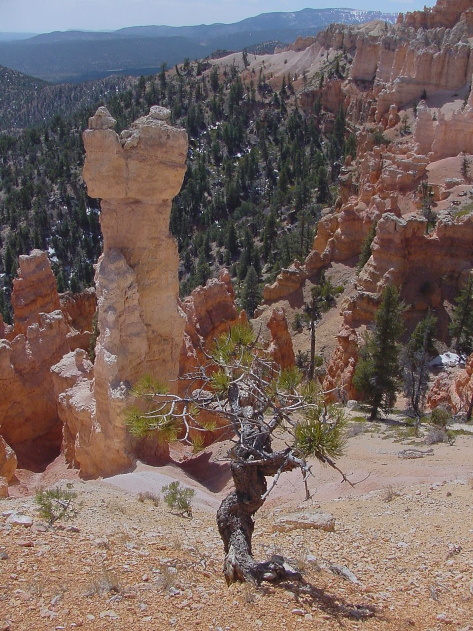
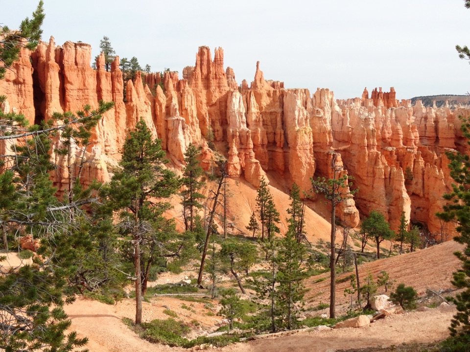
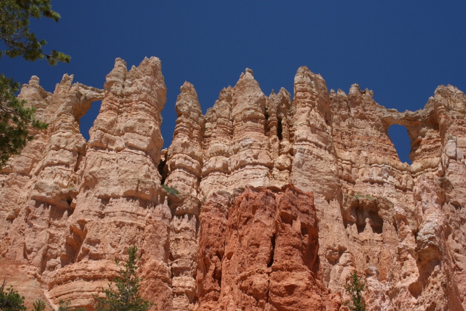
What to look forFace southeast for Mud and Noon Canyon Buttes.

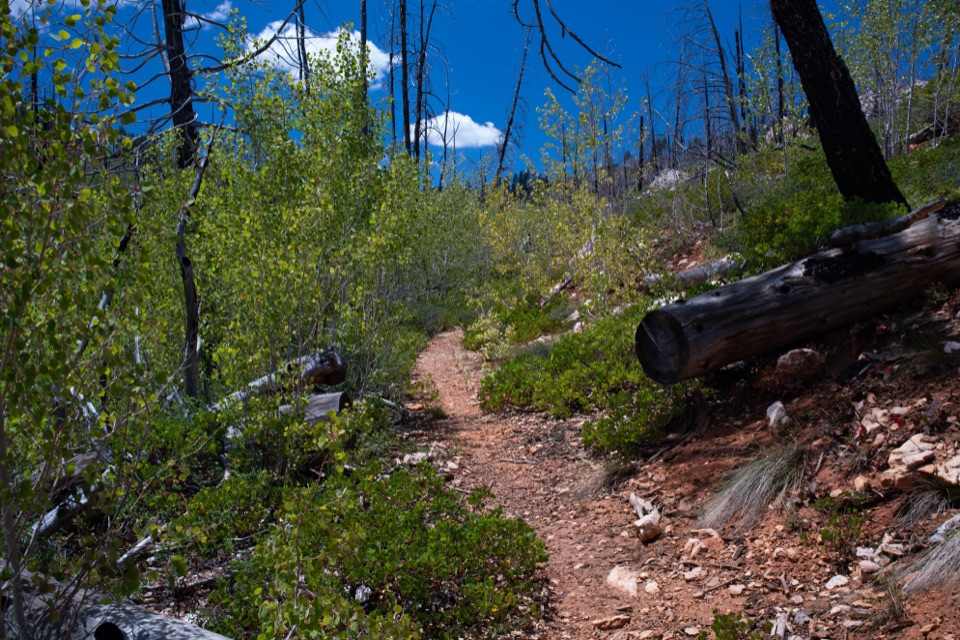
Face southeast for Mud and Noon Canyon Buttes. You can see the overlook without hiking to the canyon floor. The Swamp Canyon Loop starts at the north end of the parking lot and is a separate, moderately strenuous 4-mile (6.4 km) loop that descends 647 feet (198 m); allow three to four hours for the hike.

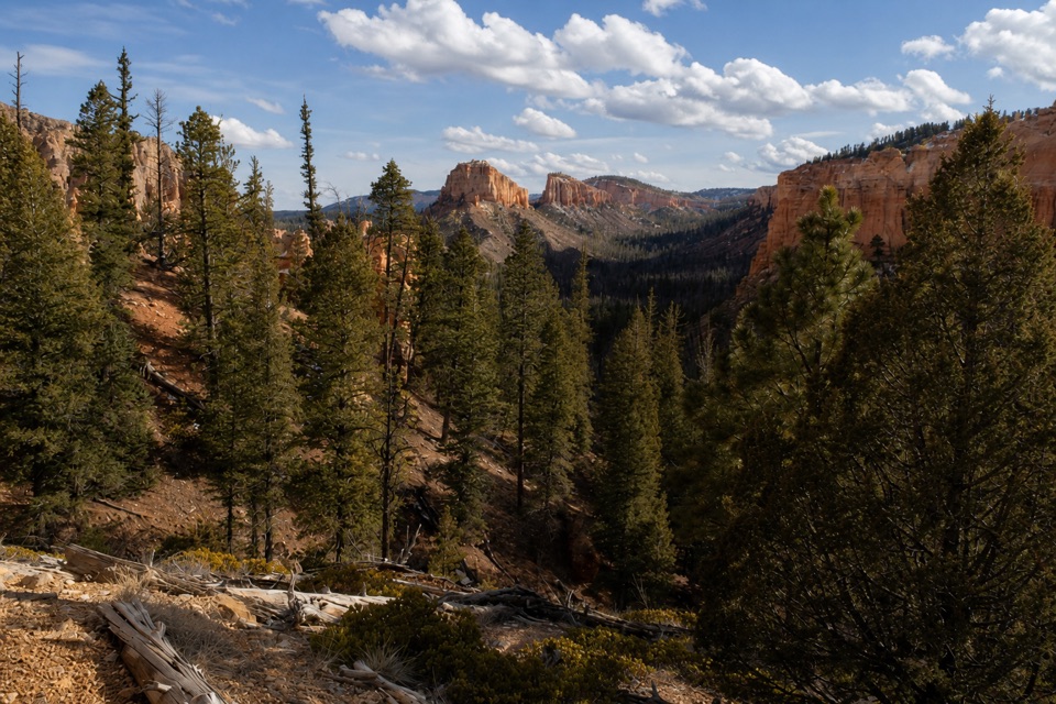
Why the canyon is wetterBelow the rim, two tiny creeks and a spring keep this canyon wetter than most of Bryce.

Below the rim, two tiny creeks and a spring keep this canyon wetter than most of Bryce. They support grasses and willows, along with tiger salamanders and wild iris. The canyon stays wet year-round by park standards, which is why the name sounds surprising in this dry landscape.

How the rock changes shapeThe buttes to the southeast are partway between broad mesas and narrow spires.

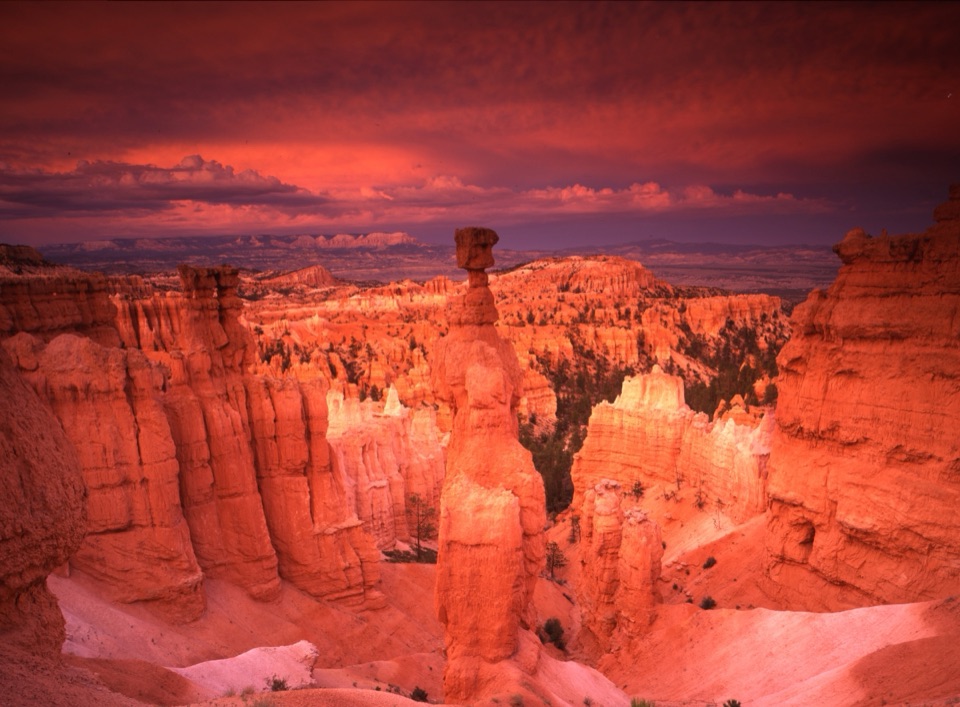
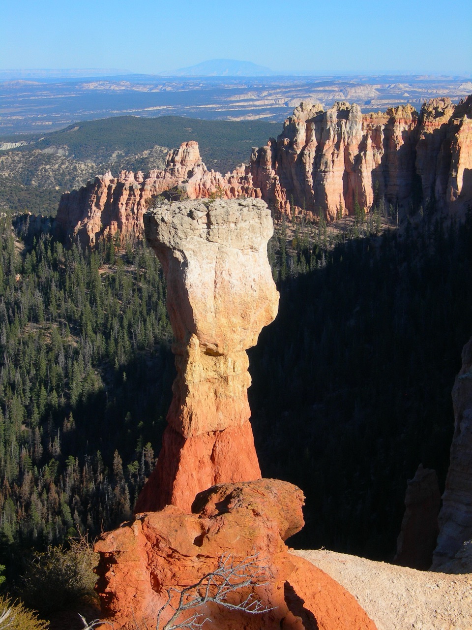
The buttes to the southeast are partway between broad mesas and narrow spires. At Bryce, hoodoos begin as narrow rock fins; freezing water opens holes that grow into arches. When an arch roof collapses, its two legs remain as separate spires.

Wildlife

Wildlife in Bryce Canyon

All Bryce Canyon wildlife maps

Sighting maps show where each species has been reported across Bryce Canyon. Wildlife moves, so no sighting is guaranteed.

Keep exploring

Near Swamp Canyon

See it all on the map

Trails nearby

More stops nearby

Parkwolf’s Bryce Canyon ranking

Top sights in Bryce Canyon

All 41 places
  1. 1Bryce PointSight
  2. 2Sunset PointSight
  3. 3Inspiration PointSight
  4. 4Thor’s HammerSight
  5. 5Sunrise PointSight
  6. 6Natural BridgeSight

Take Parkwolf to Bryce Canyon.

The audio tour guide for the drive, plus offline maps, trails, and wildlife heatmaps for when the signal drops.

4.7 from 8,600+ ratings

Download Parkwolf on the App StoreGet Parkwolf on Google Play