Pros & cons
PROS
- Vast southern panorama across the Grand Staircase and into Arizona
- Two-for-one stop with Rainbow Point at the end of the scenic drive
- Basic amenities and picnic tables right by the overlook
CONS
- Often colder and windier than the rest of the park
- Requires the full 17-mile drive to the road’s end
Overview
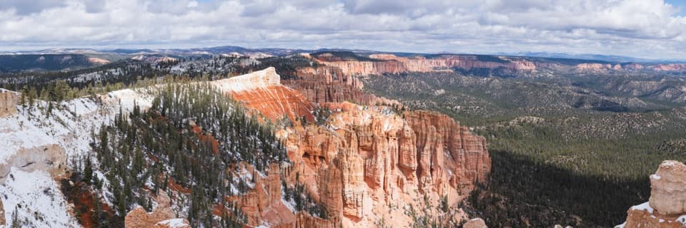
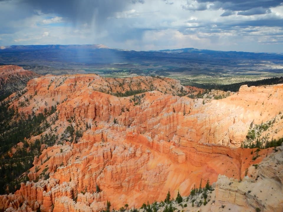
Yovimpa Point caps the park’s Southern Scenic Drive with a sweeping, south-facing panorama. It’s the park’s highest accessible viewpoint, perched near the Pink Cliffs and just a short walk from Rainbow Point. If you like big-picture landscapes, this is your capstone stop.
What You’ll See
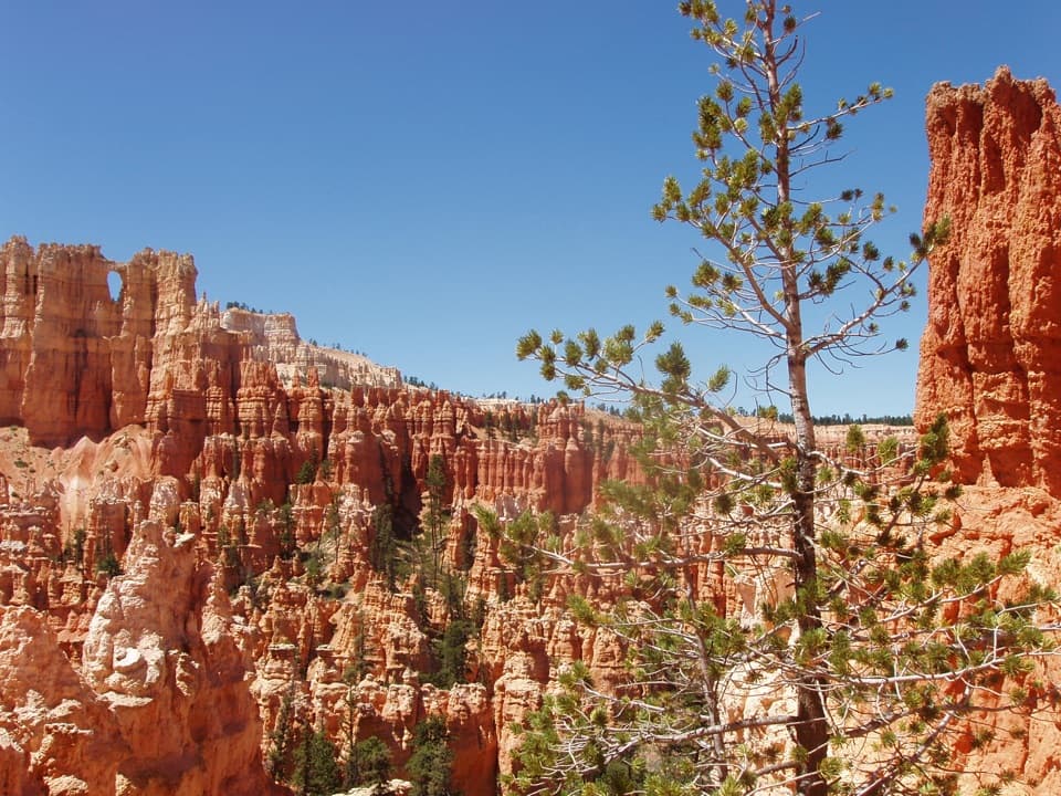
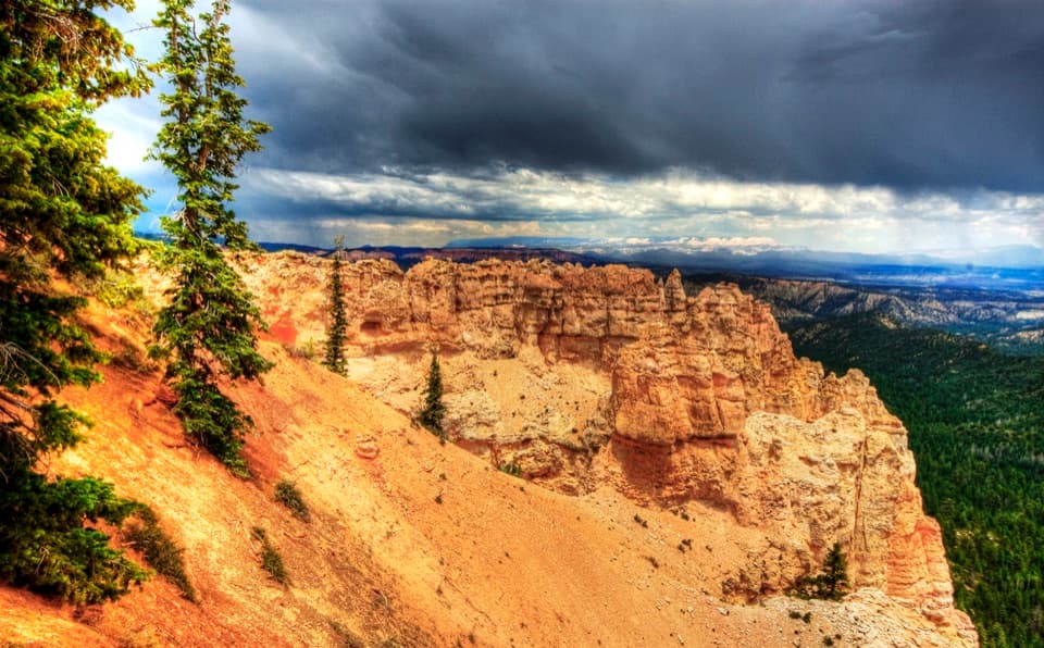
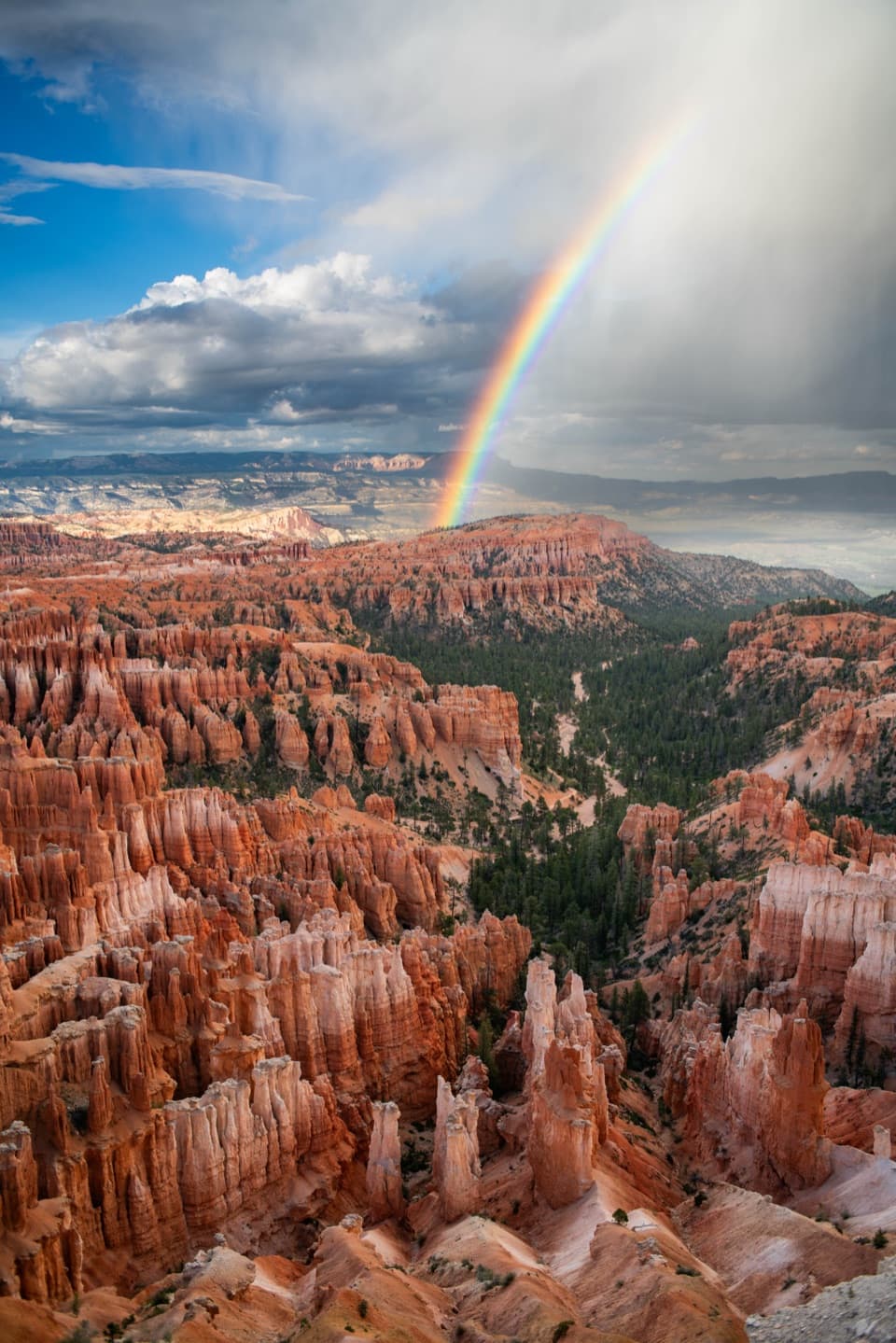
- Layer-cake geology in every direction: Pink Cliffs close at hand, with distinct bands of the Grand Staircase—Grey, White, Vermilion, and Chocolate Cliffs—stepping off to the horizon.
- Far-reaching visibility on clear days, often 50+ miles into northern Arizona.
- A complementary angle to Rainbow Point: Rainbow looks more north; Yovimpa opens wide to the south.
Why It’s Worth Your Time
Many visitors never make it to the end of the road, so this overlook can feel calmer than the central amphitheater stops. The perspective here helps you grasp the broader regional geology—arguably the best place to appreciate the Grand Staircase as a whole.
Logistics & Amenities
Yovimpa Point sits at the very end of the 17-mile Southern Scenic Drive and shares a parking area with Rainbow Point. Expect basics: restrooms, picnic tables, trash and recycling, and a bike rack. There’s no food, water filling, or stores—plan ahead.
Trails From Here
If you want to stretch your legs, you’ve got options right from this area:
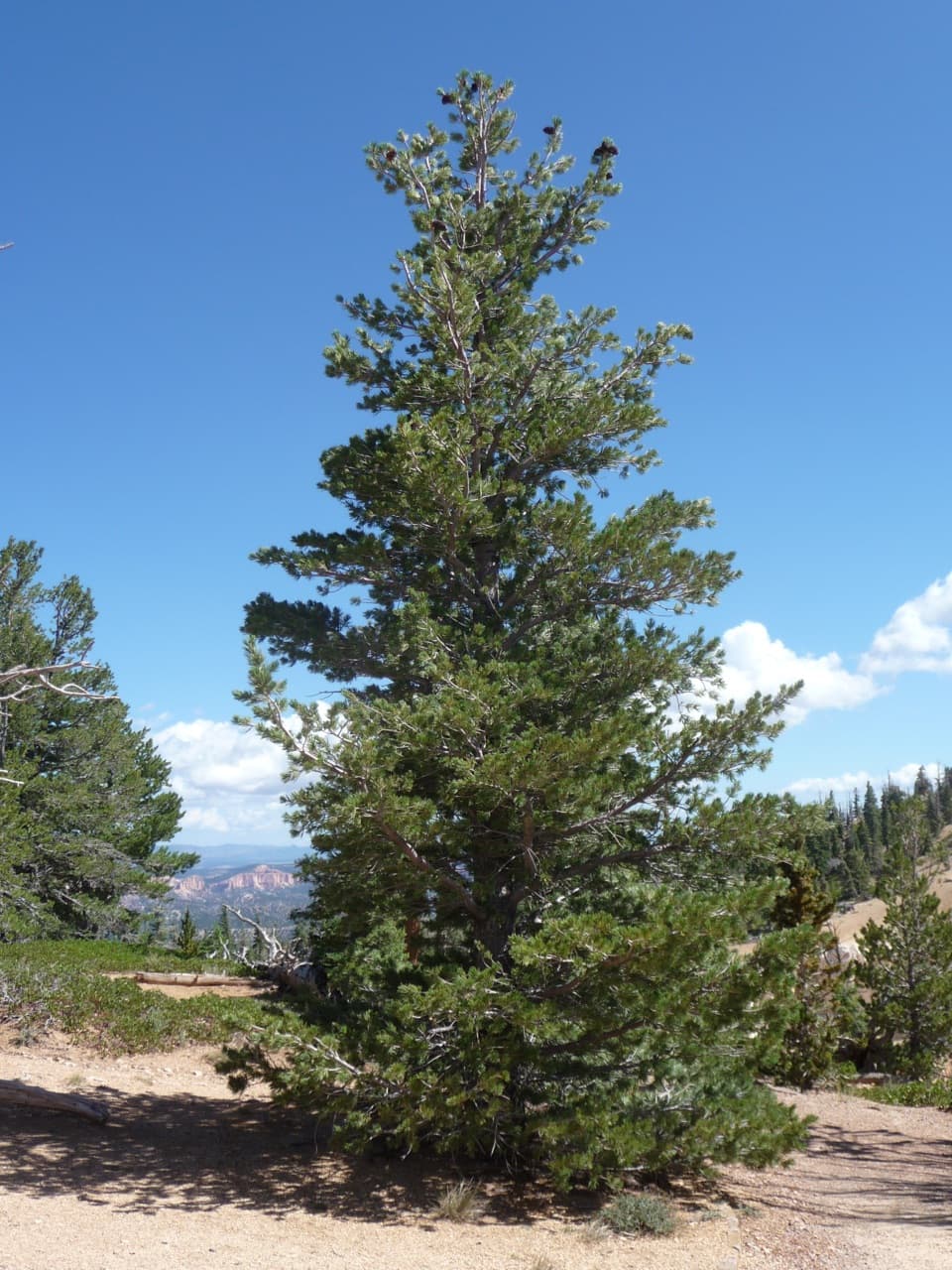
- Bristlecone Loop: an easy, roughly 1-mile loop through high-elevation forest.
- Riggs Spring Loop: a strenuous, about 8.6-mile backcountry loop.
- Under-the-Rim access is nearby for multi-day hikers.
Wildlife
This high-elevation forested rim is typical habitat for mule deer, birds of prey, and small mammals. Keep your eyes up and your ears open—wildlife tends to be most active in the cooler parts of the day.
Best Time to Visit
Aim for clear conditions to maximize those long views. Arrive early or near sunset for softer light and fewer people. It’s higher, colder, and often windier than the main amphitheater, so bring layers any time of year.
Where it is
37.4725, -112.2402Tips for Yovimpa Point
- 01Drive straight to the end first, then make your stops on the way back.
- 02Bring layers—winds at this high rim can make it feel much colder.
- 03Pair it with Rainbow Point; they share a lot and are a 3–4 minute walk apart.
- 04Visit on a clear day and bring binoculars for the long-range views.
Amenities
Near Yovimpa Point
All places →All trails →
0.2 mi awayBristlecone Loop TrailEasy, high-elevation loop among ancient pines with big views.Easy · 1 mi · 30 min
0.2 mi awayRiggs Spring Loop TrailRemote forest loop with springs, solitude, and sweeping rim viewsChallenging · 8.6 mi · 5 hr
0.2 mi awayRainbow PointRoad end summit with vast views and ancient pinesTrailhead · Restroom
1.7 mi awayBlack Birch Canyon OverlookQuiet forest-and-hoodoos vista near the end of the scenic driveParking · Scenic Viewpoint
2.5 mi awayPonderosa Canyon OverlookRed hoodoos meet tall pines at a quiet roadside viewpointPullout · Parking
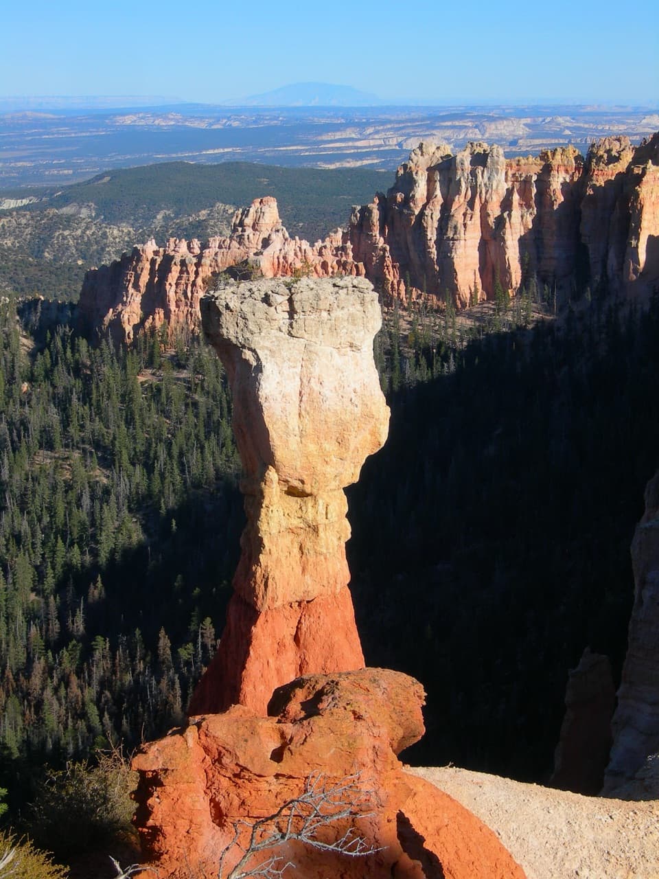
3.3 mi awayAgua Canyon OverlookQuick stop with towering hoodoos like The Hunter and RabbitParking · Scenic Viewpoint
8.1 mi awaySwamp Canyon LoopUnderrated hoodoos-and-forest loop with real backcountry vibesModerate · 4 mi · 3.5 hr
8.1 mi awaySheep Creek/Swamp Canyon LoopQuiet Bryce loop with meadows, hoodoos, and a satisfying climbModerate · 4.3 mi · 3 hr