Parking
Park at Yovimpa Point, the Riggs Spring Loop trailhead. Hike the counterclockwise loop about 5.2 miles to Riggs Spring campsite for the Bull Rush branch; no separate road or parking access for the spur was documented.
Bryce Canyon National Park, UT
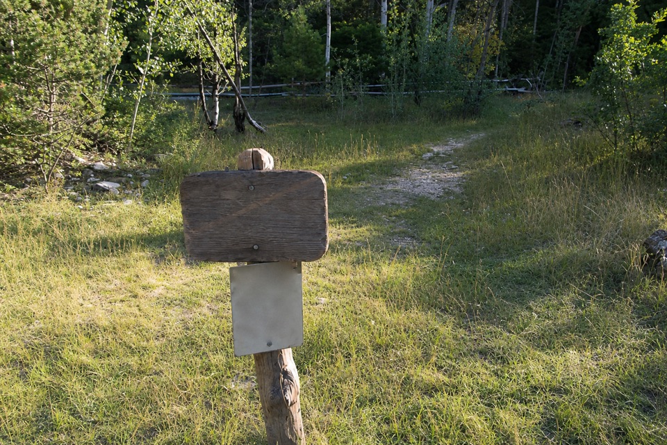
A mapped forest spur branches off at the Riggs Spring low point.
Overview
Map & elevation
Plan your hike

The highest, rockiest slopes around here are a summer buffet for grizzly bears.
Bryce Canyon Tour Guide
Parkwolf is a GPS audio tour guide for Bryce Canyon National Park. As you drive, it chimes in with what’s ahead: hidden gems, upcoming stops, history, geology, and wildlife, right through your car’s speakers.
Recorded for this area
Rainbow and Yovimpa: Two Directions to Look“Rainbow Point and Yovimpa Point are coming up at the end of the park road. Make time for both: Rainbow looks north along Bryce's rim, while a short paved walk to Yovimpa opens the view south across the Grand Staircase.”
Plays on the road 0.1 mi from the trailhead in the Parkwolf Bryce Canyon Tour Guide.
More stories near here in the app
“Super fun and useful app! We especially enjoyed the guide as we drove through Bryce Canyon National Park.”


Trail guide
Bull Rush Hollow Trail is a named backcountry spur from the Riggs Spring Loop. From Yovimpa Point, hike the loop counterclockwise; the branch leaves just beyond Riggs Spring campsite, about 5.2 miles in. Walk the spur about 0.77 mile southeast, turn around at the end of the mapped line, and return to the loop. The full circuit with this detour is about 10.15 miles and takes roughly six hours. The loop alone is 8.6 miles, about five hours, and strenuous, with 2,200 feet of gain. Skip the spur if you want the shorter loop.
The campsite sits at the loop’s low point. After the detour, rejoin the Riggs Spring Loop for its long climb toward Yovimpa Pass and back to Yovimpa Point. A hiker report describes Bull Rush Hollow as leading toward Dixie National Forest, but no named destination or confirmed route beyond the mapped branch was found. Another listing gives 0.9 mile without saying whether that is one way or round trip; the mapped leg is 0.77 mile each way, which is the distance used here. Keep to the named spur rather than treating the separate hollow and road corridor farther east as its continuation.
Parking and restrooms are at Yovimpa Point; there is no water-fill station there. Riggs Spring is the loop’s most reliable natural water source, but treat spring water before drinking. Day hiking requires no permit, while overnight backcountry stays need a permit for a designated campsite. Pets are not allowed. Midwinter snow can make the loop inaccessible, so check with the park before planning a winter hike.
Wildlife
 15 sightingsWapitiMost seen around 6 AMSighting map
 50 sightingsUtah Prairie DogMost seen around 9 AMSighting map
 331 sightingsMule DeerMost seen around 7 AMSighting map
 118 sightingsPronghornMost seen around 6 PMSighting map
 41 sightingsTurkey VultureMost seen around noonSighting map
 44 sightingsWild TurkeyMost seen around 7 AMSighting map
Sighting maps show where each species has been reported across Bryce Canyon. Wildlife moves, so no sighting is guaranteed.
Keep exploring
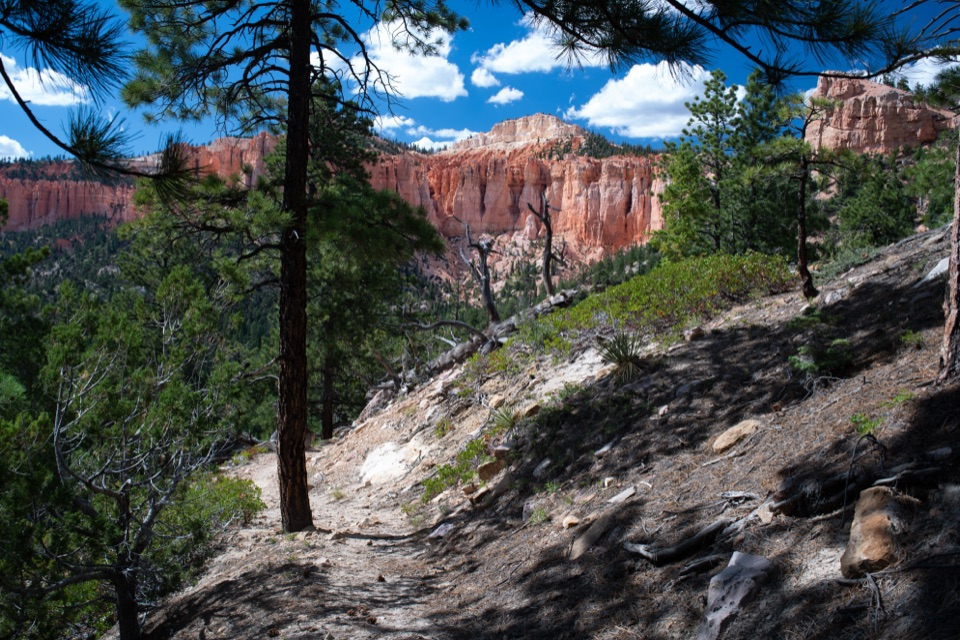 ChallengingRiggs Spring Loop Trail8.8 mi · 5.5 hr · 0.1 mi awayA strenuous 8.8-mile loop drops from the rim to Riggs Spring.
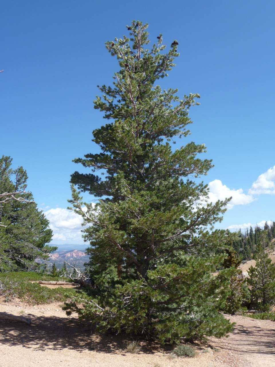 EasyBristlecone Loop Trail1 mi · 1 hr · 0.1 mi awayOne-mile loop for ancient bristlecones and Four Corners views.
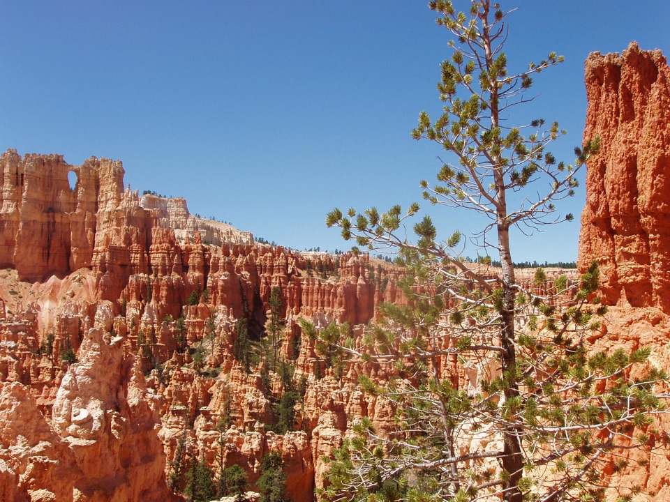 ChallengingUnder-the-Rim Trail22.9 mi · 18 hr · 0.1 mi awayA quieter 23-mile traverse through Bryce’s forested backcountry.
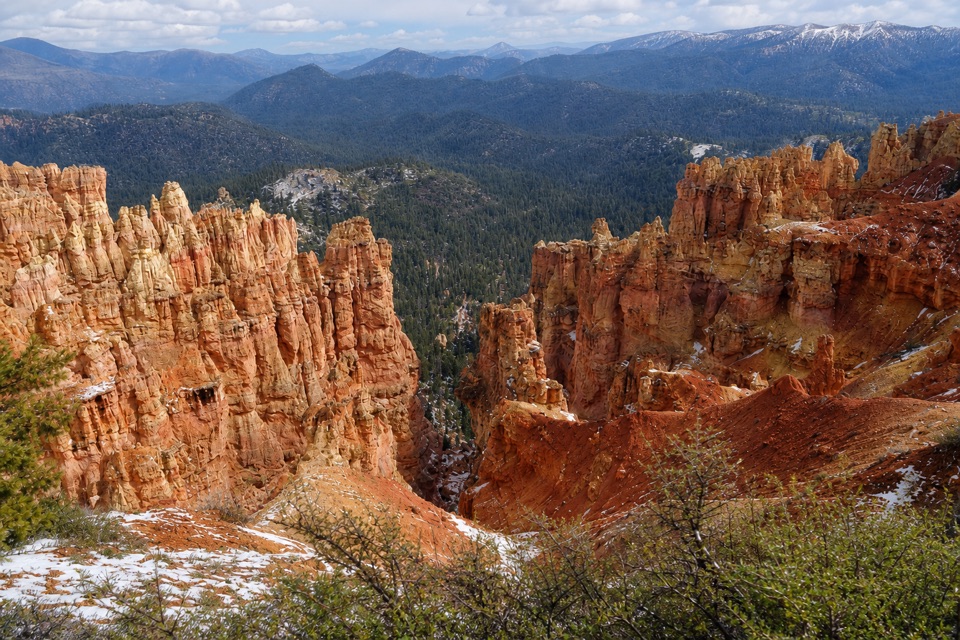 ModerateAgua Canyon Connecting Trail1.6 mi · 1 hr · 2.4 mi awayA steep, rocky link from Ponderosa Point to Under-the-Rim.
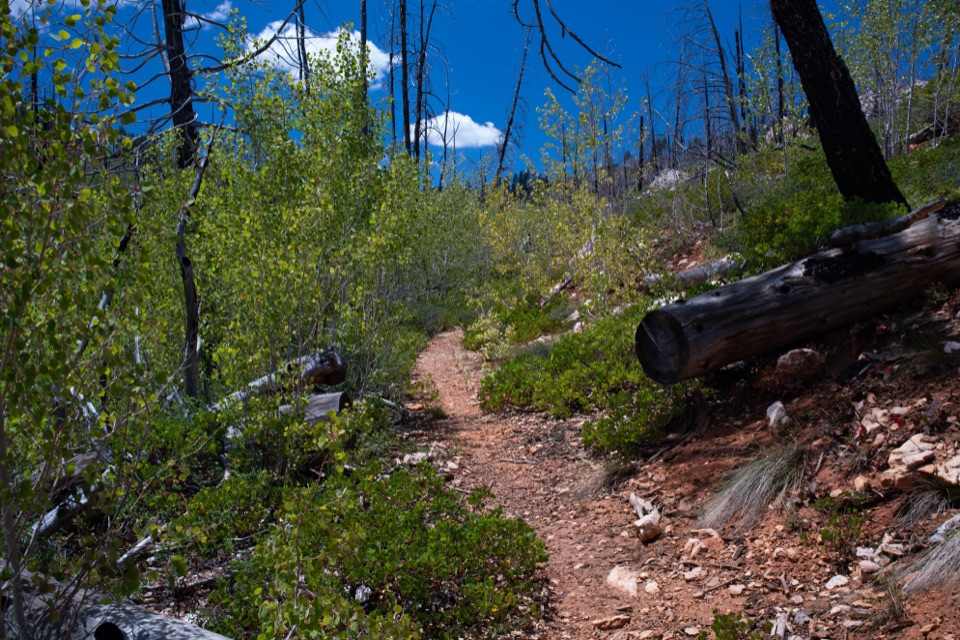 ModerateWhiteman Connecting Trail2 mi · 1.5 hr · 6.3 mi awayA wooded descent reaches the Under-the-Rim backcountry trail.
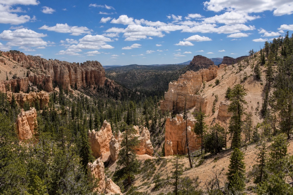 ModerateSwamp Canyon Connector Trail2.1 mi · 1.5 hr · 8 mi awayA short, steep drop takes you below the rim into piney canyon.
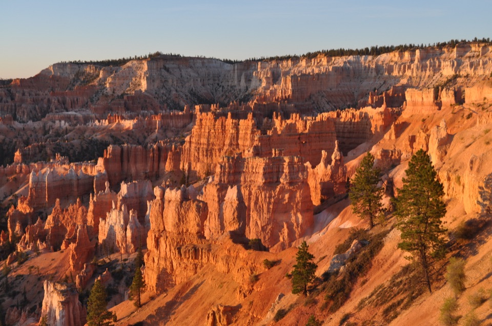 ModerateSheep Creek Trail5.8 mi · 4 hr · 8 mi awayFollow the cliffs down to a shaded campsite, then climb back out.
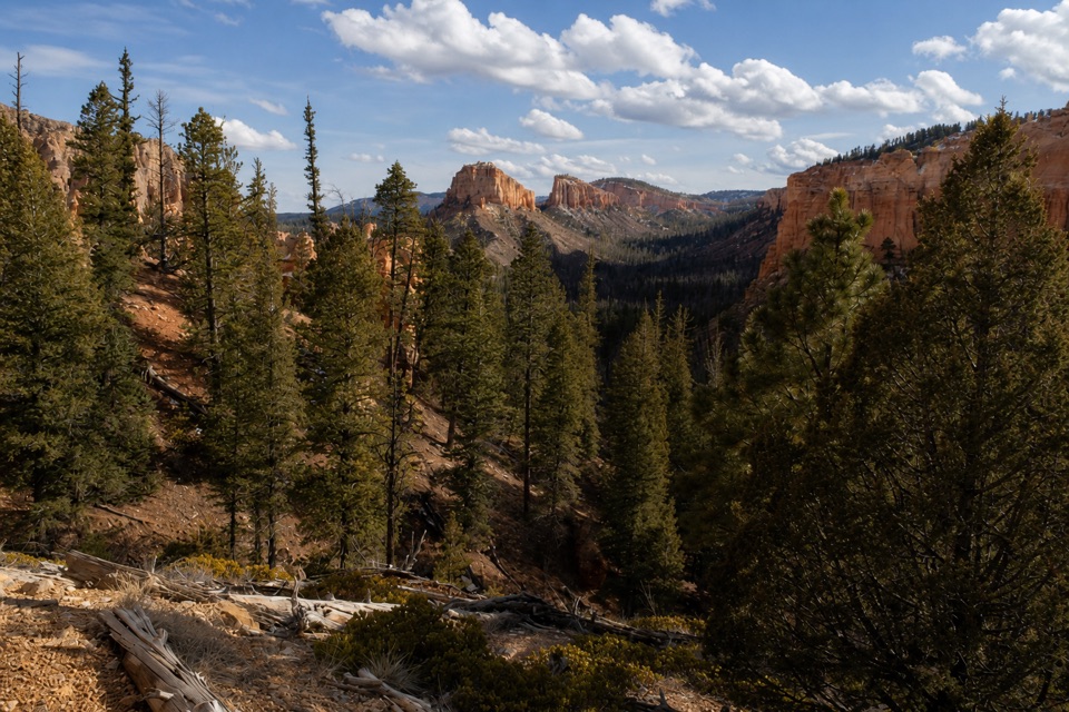 ModerateSwamp Canyon Loop4 mi · 3.5 hr · 8.1 mi awayA quieter loop through meadow, forest, and red-rock canyon country.
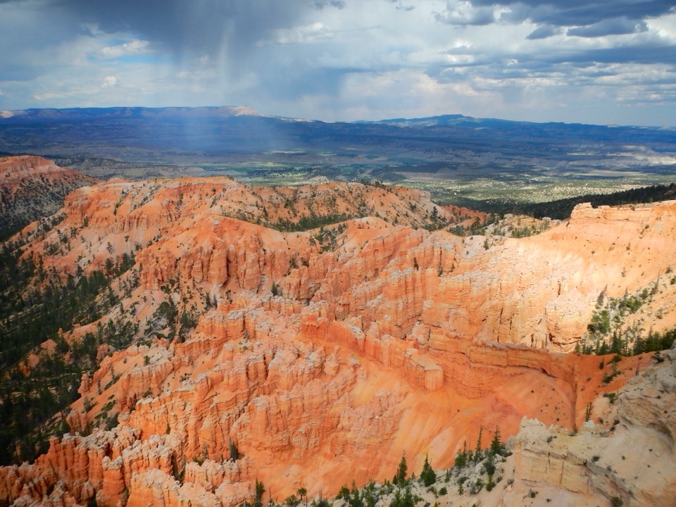 Sight · 0.1 mi awayYovimpa PointA 100-mile panorama over the Grand Staircase.
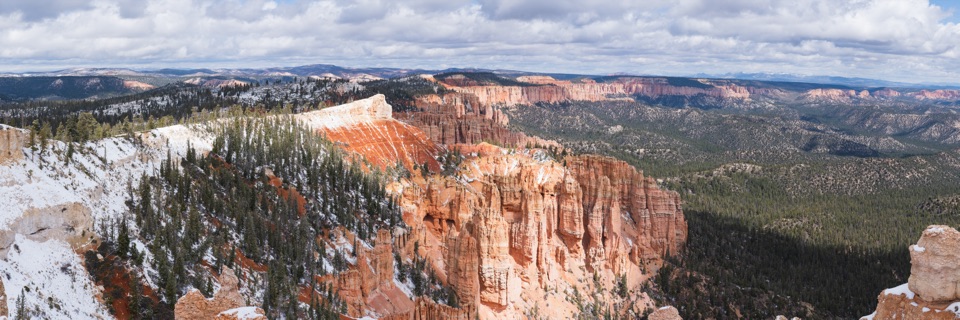 Sight · 0.2 mi awayRainbow PointLayered plateau views and bristlecones at Bryce’s high southern overlook.
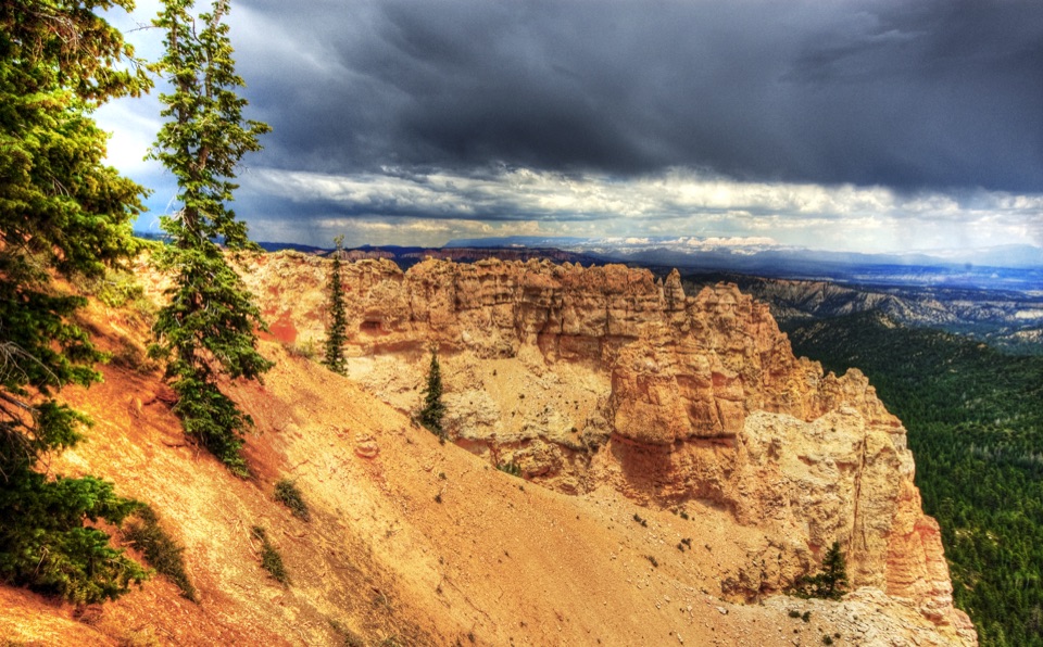 Sight · 1.7 mi awayBlack Birch CanyonA quick overlook above hoodoos and a forested basin.
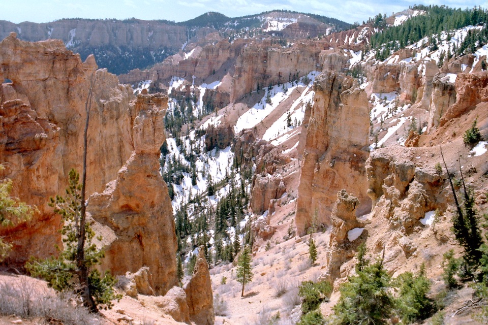 Sight · 2.4 mi awayPonderosa CanyonA quick pull-off above an amphitheater, forest, and far-off plateaus.
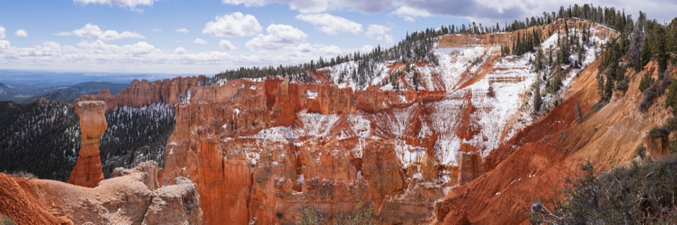 Sight · 3.3 mi awayAgua CanyonEye-level hoodoos, then a long view across the Grand Staircase.
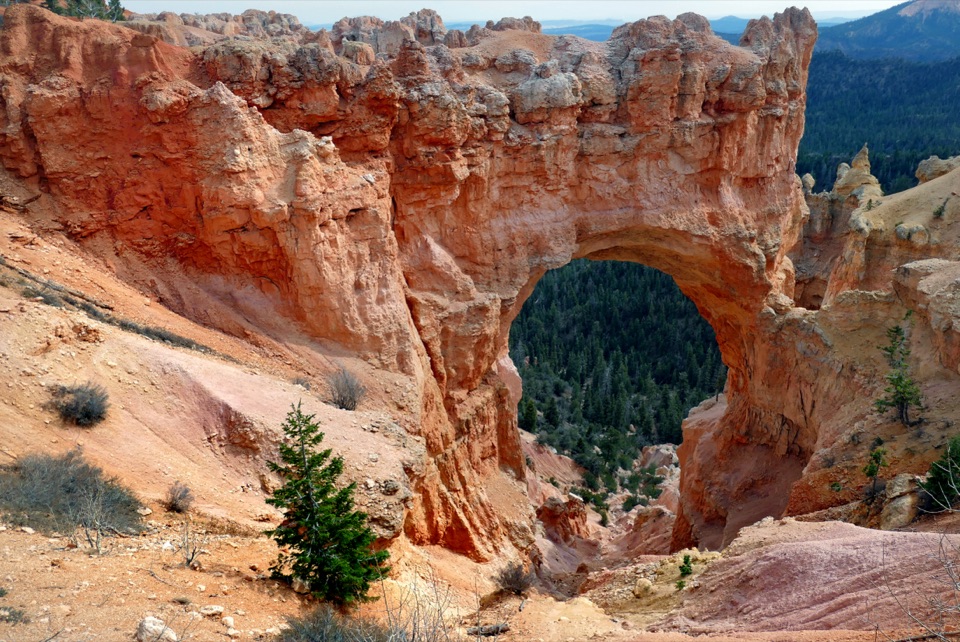 Sight · 4.2 mi awayNatural BridgeAn 85-foot arch frames a pine-filled canyon.
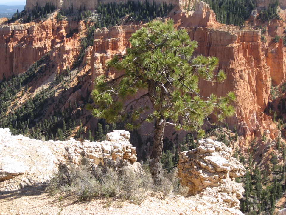 Sight · 4.9 mi awayFarview PointSee hoodoos give way to the long views of plateau country.
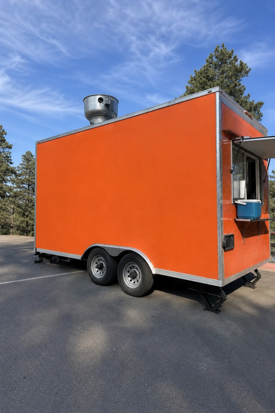 Food · 4.9 mi awayHoodoo FoodsA handy sandwich stop on the scenic drive.
Parkwolf’s Bryce Canyon ranking

The audio tour guide for the drive, plus offline maps, trails, and wildlife heatmaps for when the signal drops.