Place · 0 mi away
Challenging

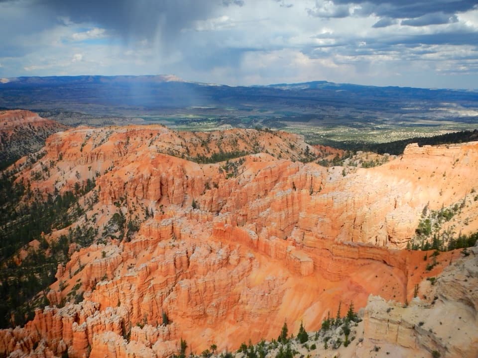
This is Bryce Canyon’s premier backcountry traverse: a 22.9-mile, point-to-point route that runs beneath the park’s rim from Bryce Point to Rainbow Point (hike it either direction; most start at Bryce Point). Expect a true wilderness vibe—far fewer people than the amphitheater—plus long, rolling miles at high elevation and big, varied scenery.
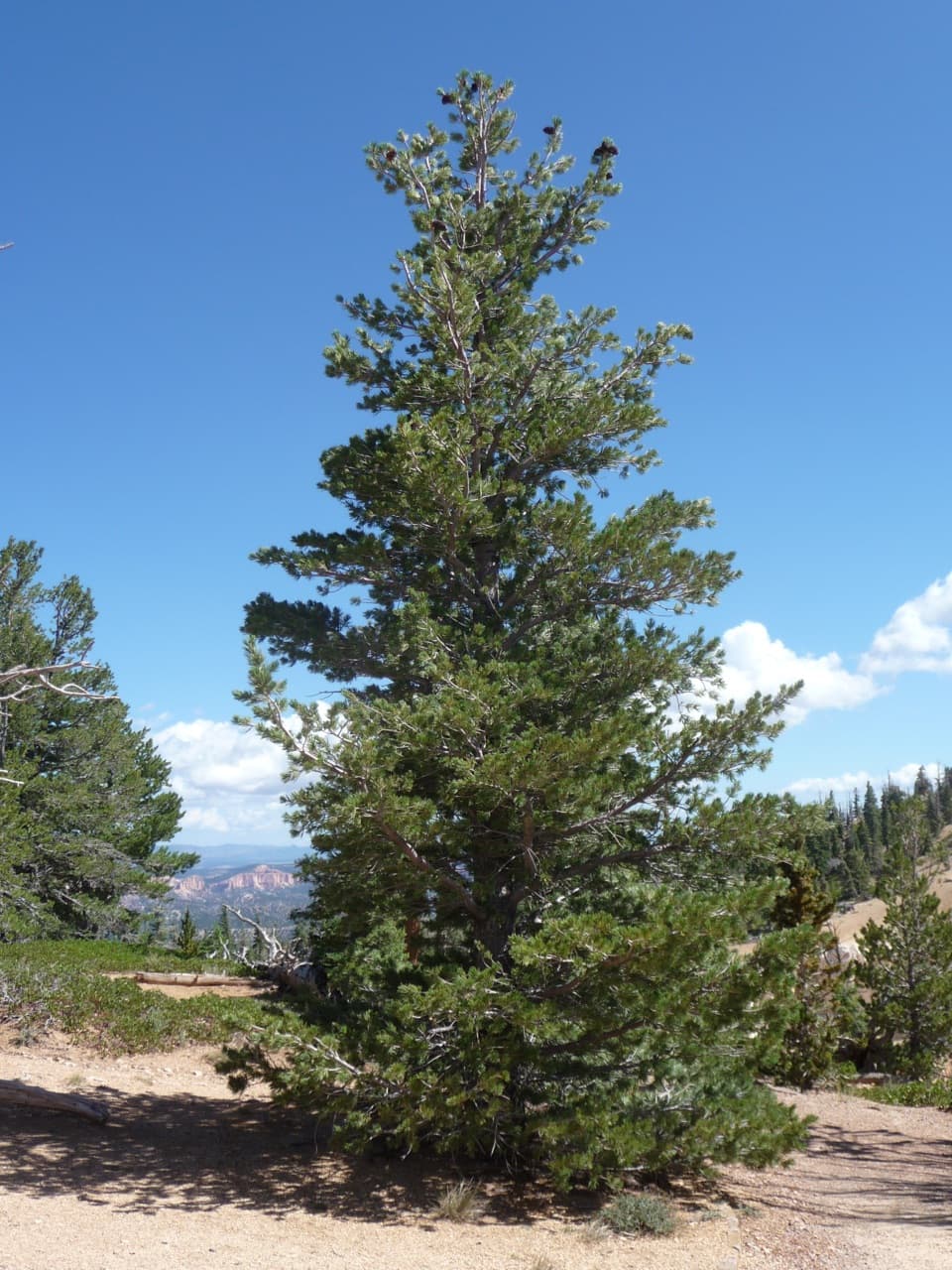
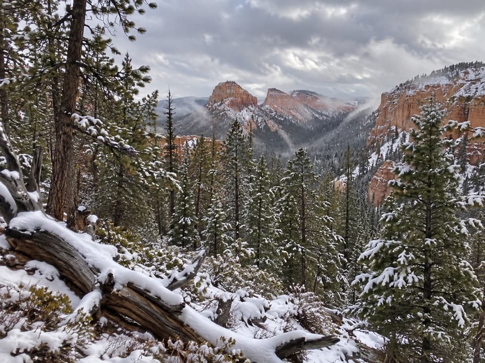
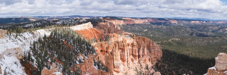
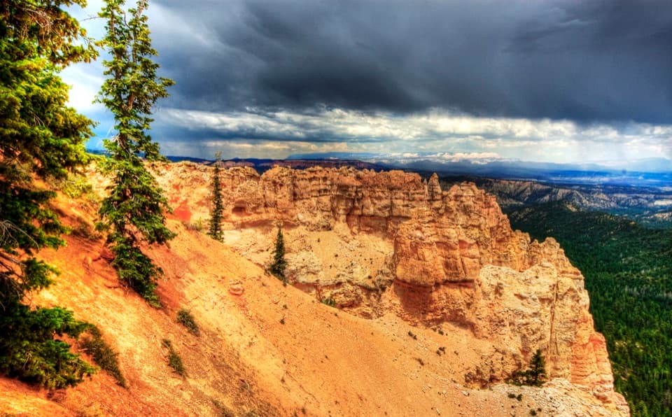
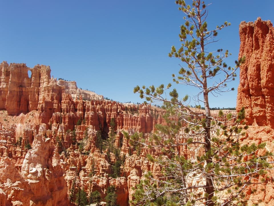
Early on (north to south), you’ll drop past the Hat Shop—white hoodoos capped with harder “hats”—then spend long stretches threading forests of ponderosa pine, aspen, gambel oak, and manzanita. Meadows break things up with open views and wildlife habitat, and there are frequent wide vistas toward the Grand Staircase and back to Bryce’s pink-orange cliffs. The route undulates constantly, with notable climbs and descents under the rim and a long, well-graded finish to Rainbow Point.
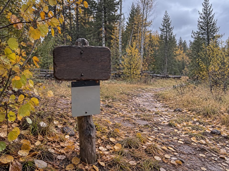
This is a strenuous, multi-day backpack for fit, experienced hikers. It’s backcountry and more primitive than front-country trails, so bring a map/GPS and be comfortable with rugged tread and sparser signage. Elevations range roughly from the low 8,000s to just over 9,000 feet, so pace and hydration matter. Several connector trails (like Sheep Creek, Swamp Canyon, and Whiteman Bench) let you tailor mileage or bail out mid-route, but note that the Agua Canyon Connector is closed until further notice due to storm damage.
Water is scarce, seasonal, and unreliable. Typical sources include Yellow Creek and, in some seasons, water near the top of the Swamp Canyon Connector and Sheep Creek. Treat or boil everything—contamination (including E. coli) has been reported. Backcountry camping is allowed only at designated sites, and you must have a permit (obtained at the Visitor Center). Plan your itinerary around campsite availability and current water reports, and carry more water than you think you’ll need.
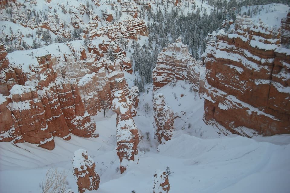
June–September is prime for snow-free travel, but summer brings regular afternoon thunderstorms and potential flash floods in drainages—start early, watch the sky, and avoid low-lying gullies when storms threaten. Spring and fall are possible depending on snowpack and mud; fall can be gorgeous with aspen color in the high forests. Winter travel is only for seasoned winter backpackers.
Choose this if you want solitude and a deep-dive into Bryce’s backcountry textures—forests, meadows, subdued hoodoos, and sweeping vistas—rather than nonstop amphitheater spectacle. If you’re chasing constant marquee hoodoo scenery, stick to rim-area day hikes and lookouts; this traverse trades crowd-pleasing highlights for quiet miles and a wilderness feel.
Park at Bryce Point; the trail starts on the east side of the lot. Arrange a shuttle to/from Rainbow Point or use connector trails for a custom one-way.
Water is scarce and may be contaminated—treat/boil all sources. Summer thunderstorms can trigger flash floods in drainages; start early and avoid low spots when storms build. The route is primitive with less signage—carry a map/GPS. High elevation and long, rolling terrain increase fatigue. Agua Canyon Connector is closed.