Black Birch Canyon in Bryce Canyon National Park

Sight · Bryce Canyon National Park

Black Birch Canyon

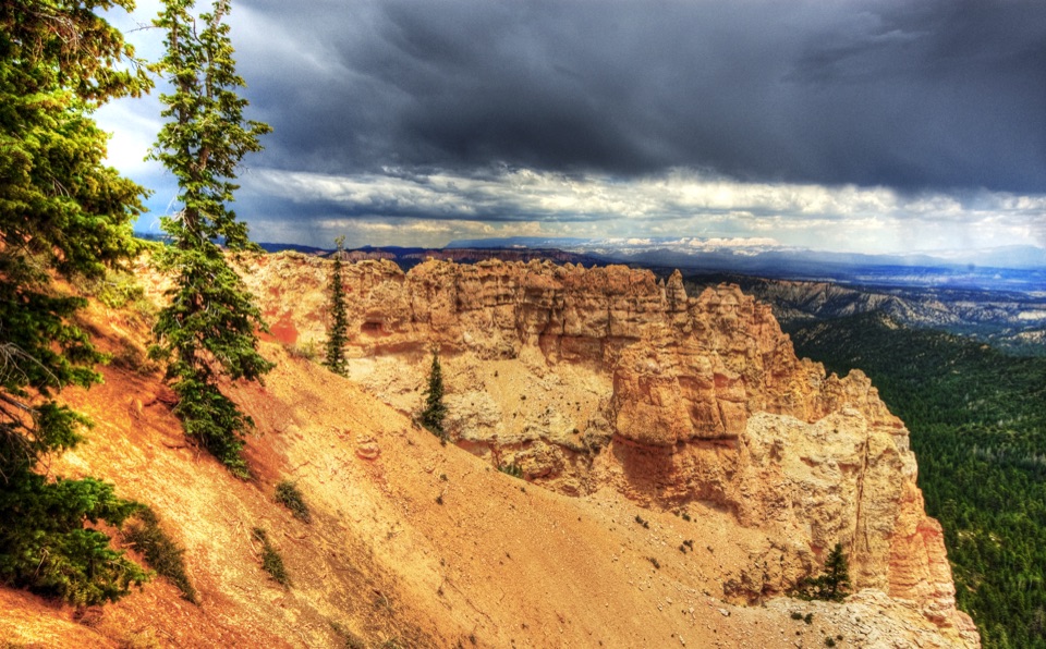
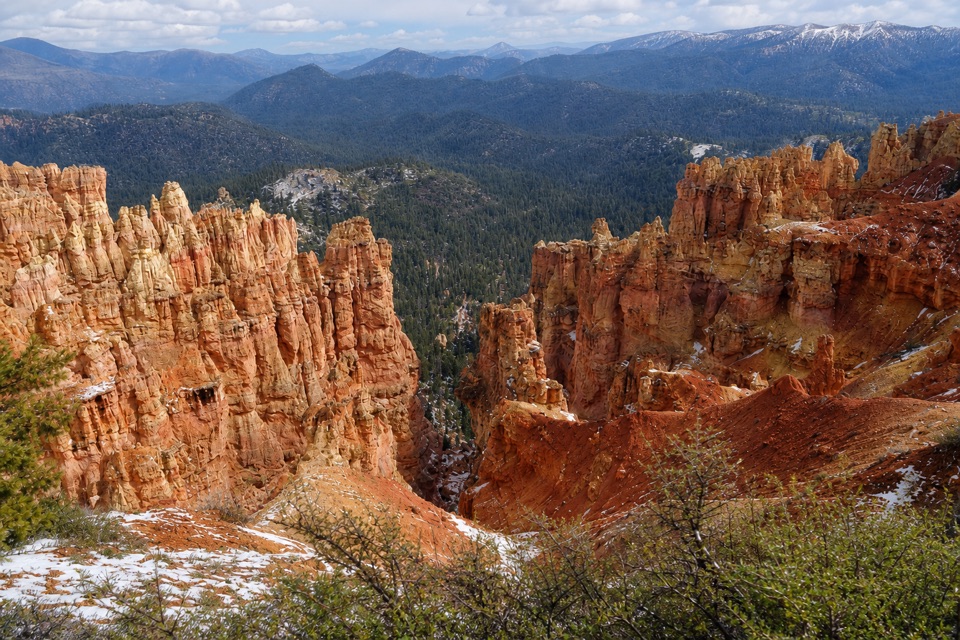
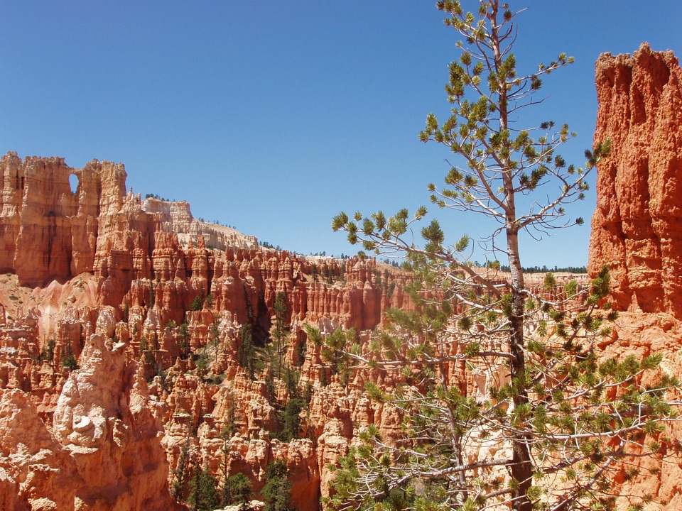
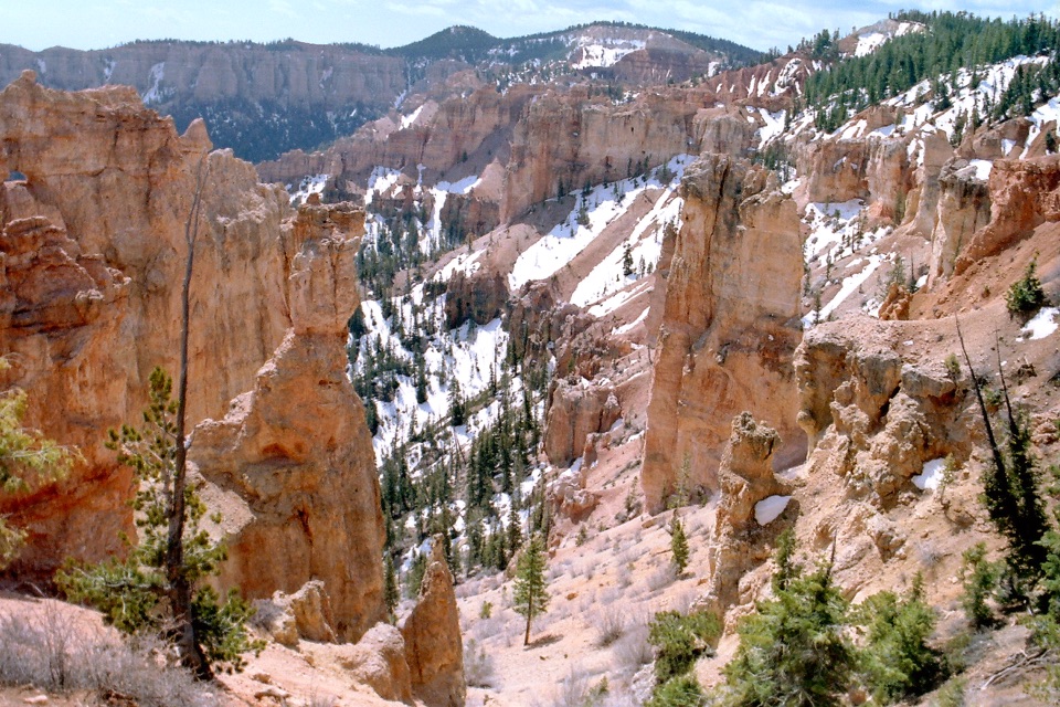
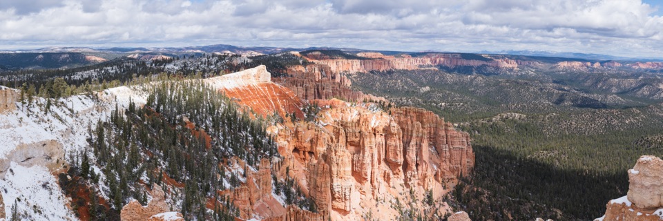
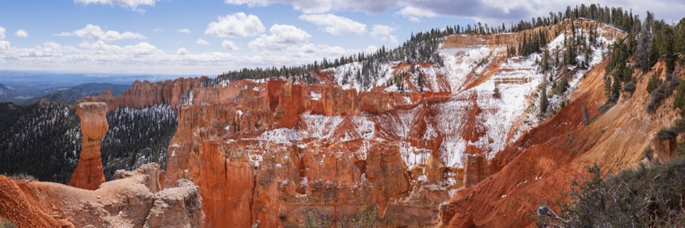
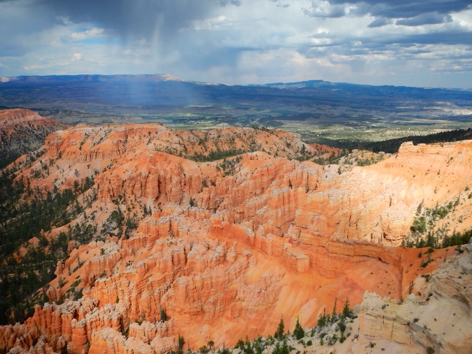
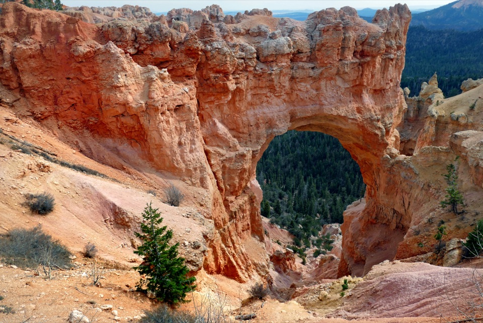
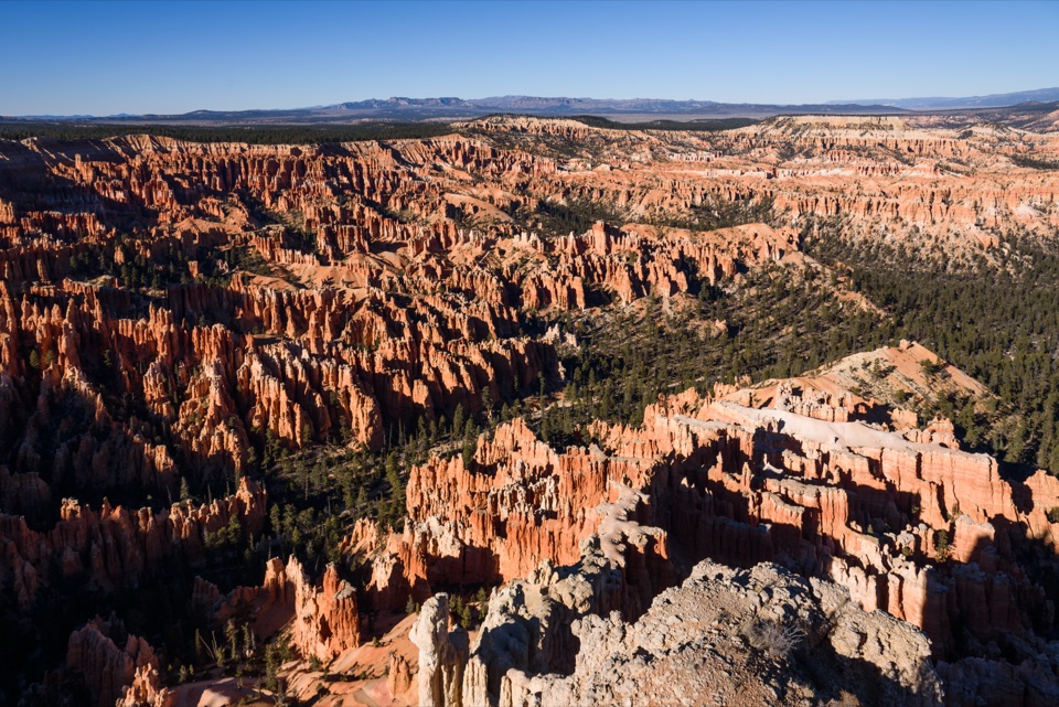
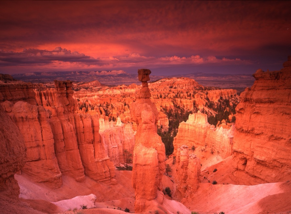
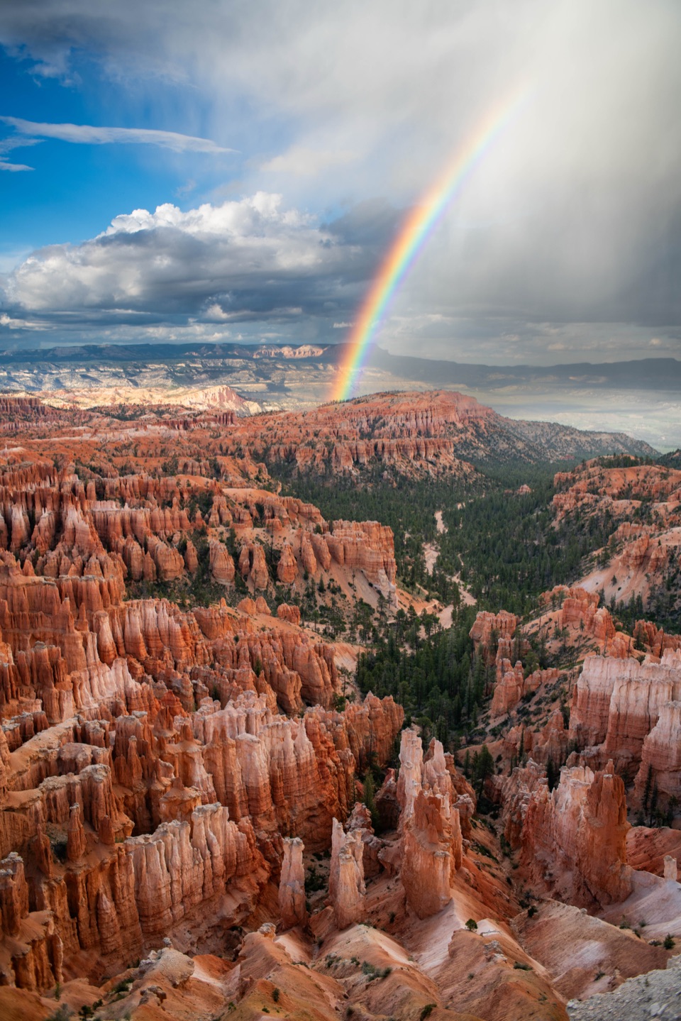
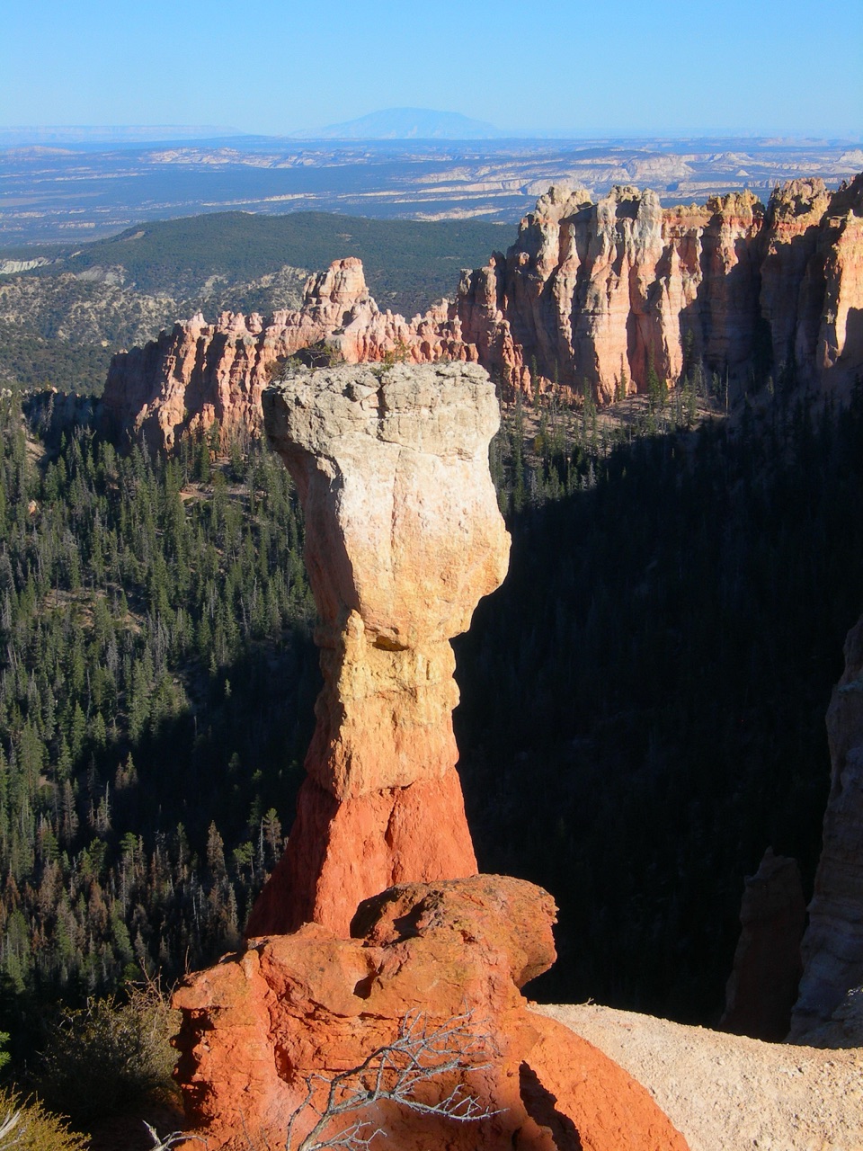
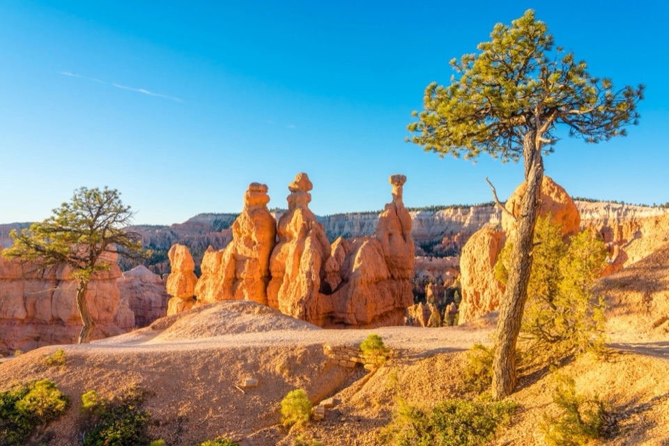
A quick overlook above hoodoos and a forested basin.

Photo: Wikimedia Commons
Type
Sight
Nearest trail
0.8 mi
Audio stories
5 nearby
  • Scenic viewpoint
  • Parking
  • Pullout

Hear the audio tour

Black Birch Canyon: A Likely Tree Mix-Up

Overview

About Black Birch Canyon

Why stop

  • A broad view of southern hoodoos above a deep forested bowl.

Heads up

  • No trail starts here; it is a short viewing stop.

Map

Where it is

Loading the Bryce Canyon map
Full map
SightBlack Birch Canyon37.49451, -112.25491
Keep this map with you offline in the Parkwolf app

Plan your stop

Before you go

3 active Bryce Canyon alerts

  • ClosureTrail closures due to recent weather eventWall Street and the Bryce Connector Trail to Peekaboo Loop are closed until further notice because of a recent weather event. - Do not enter these closed trails.Official details
  • CautionCurrent fire restrictionsFires are allowed only in established fire pits throughout Bryce Canyon National Park.Official details
See all 3 alerts
A park ranger sits on a dash-mounted phone, talking, as Parkwolf’s Tour Guide plays “Army Cutworm Moths: A Grizzly Bear Buffet” on Grand Loop Road below Dunraven Pass in Yellowstone
Parkwolf Tour GuideThe highest, rockiest slopes around here are a summer buffet for grizzly bears.

Bryce Canyon Tour Guide

Your drive to Black Birch Canyon, narrated.

Parkwolf is a GPS audio tour guide for Bryce Canyon National Park. As you drive, it chimes in with what’s ahead: hidden gems, upcoming stops, history, geology, and wildlife, right through your car’s speakers.

Recorded for this place

Black Birch Canyon: A Likely Tree Mix-Up
0:00 / 0:19
“You're nearing Black Birch Canyon, a quick paved overlook into the southern hoodoo country.”

Plays as you drive up to Black Birch Canyon in the Parkwolf Bryce Canyon Tour Guide.

More stories near here in the app

  • Ponderosa Canyon: Pines Far Below
  • A Bristlecone's Living Strip
  • Rainbow and Yovimpa: Two Directions to Look
  • Agua Canyon: Trees on the Hunter
  • 30 audio storiesacross Bryce Canyon’s roads, triggered by GPS as you drive
  • Wildlife heatmapsfor Wapiti, Utah Prairie Dog, Mule Deer, and 13 more
  • Works offlinemaps, 24 trails, 41 places, and audio download before you lose signal
  • CarPlay readysimple controls built for the drive
★★★★★
“Super fun and useful app! We especially enjoyed the guide as we drove through Bryce Canyon National Park.”
Rae607App Store review
Download Parkwolf on the App StoreGet Parkwolf on Google Play

4.7 from 8,600+ ratings

Guide

More about Black Birch Canyon

A short stop on the south driveBlack Birch Canyon is a paved roadside overlook at mile 16.

Black Birch Canyon is a paved roadside overlook at mile 16.5 of Bryce Canyon’s 18-mile Southern Scenic Drive, one of nine viewpoints on the route. It looks into the southern amphitheater and works best as a quick view stop; no trails leave this pullout. The paved, relatively level approach is listed as wheelchair accessible. For an easier route through the pullouts, drive first to Rainbow and Yovimpa Points at the end of the road, then stop here on the way back, when it is on your right.

Leashed dogs can join you on paved surfaces, but not on unpaved viewpoints or trails.

Hoodoos, forest and far horizonsThe southern view looks into a bowl-shaped amphitheater shared with Rainbow Point.

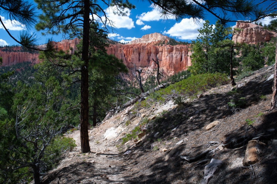
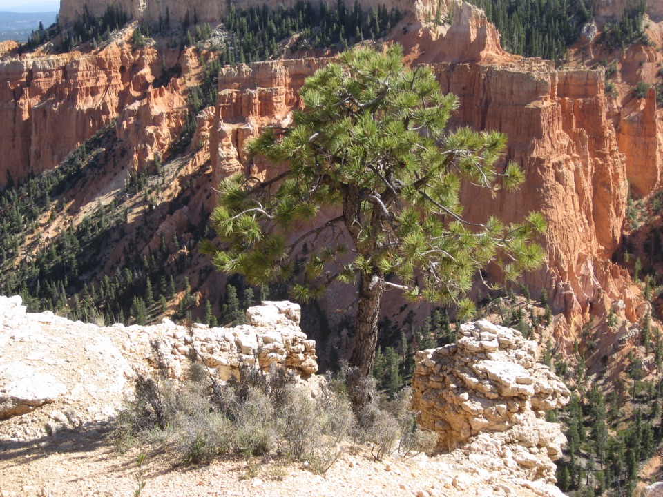
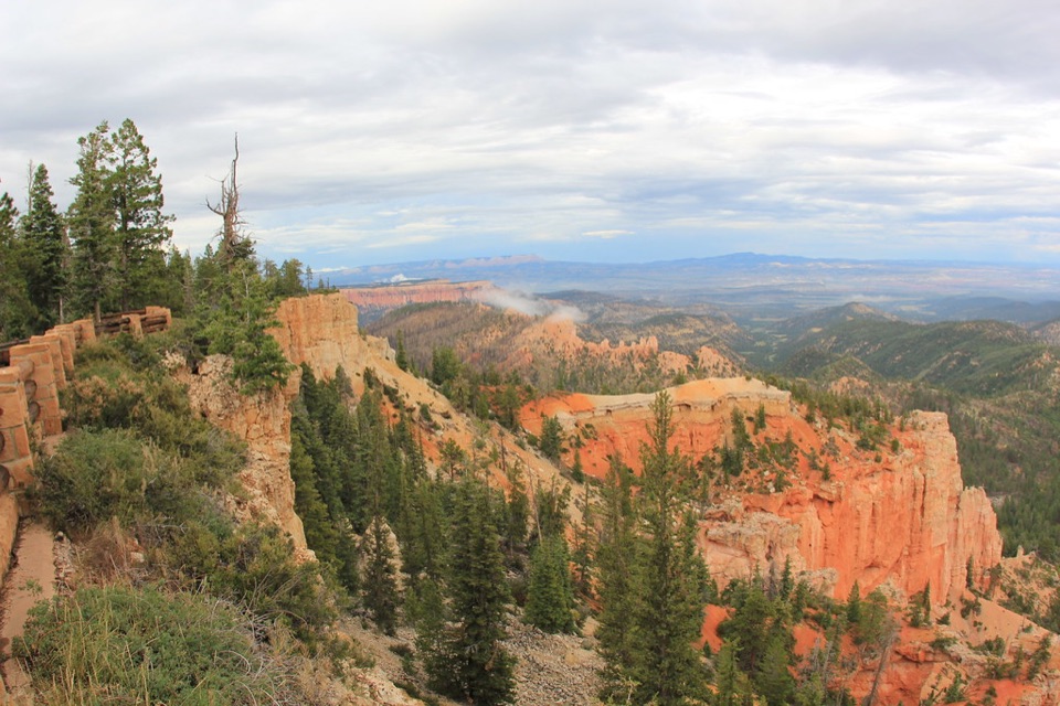
The southern view looks into a bowl-shaped amphitheater shared with Rainbow Point. Hoodoos erode from the Paunsaugunt Plateau’s edge, with a pine-and-fir forest about 1,000 feet below. Eastward, the view crosses Paria Valley to the upper steps of the Grand Staircase and Table Cliff Plateau. Include some of the forest below the rim in a photo; it gives the rock spires a sense of scale.

On clear-air days, the Henry Mountains are about 86 miles away, and Navajo Mountain rises more than 80 miles to the southeast.

The same pink cliffs, at a different heightTable Cliff Plateau across the valley is made of the same Claron Formation, or Pink Cliffs,…

Table Cliff Plateau across the valley is made of the same Claron Formation, or Pink Cliffs, that forms Bryce’s hoodoos. The Paunsaugunt fault runs along the park’s eastern edge, and the uplifted plateaus leave a difference of nearly 2,000 feet in the landscape. The view gives you a look across that geologic step, with the Grand Staircase’s colored layers stretching beyond it.

Mountains that never eruptedNavajo Mountain and the Henry Mountains are laccoliths: molten rock pushed older layers upward,…

Navajo Mountain and the Henry Mountains are laccoliths: molten rock pushed older layers upward, then cooled underground without breaking through as volcanoes. Erosion has stripped the cover from the Henry Mountains and exposed their hard igneous cores. These distant peaks make the broad horizon more than a backdrop when the air is clear.

Why the name may be mistakenTrue black birch is an eastern tree.

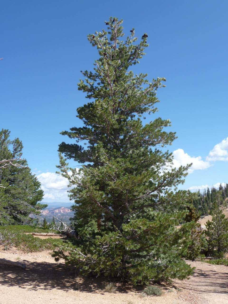
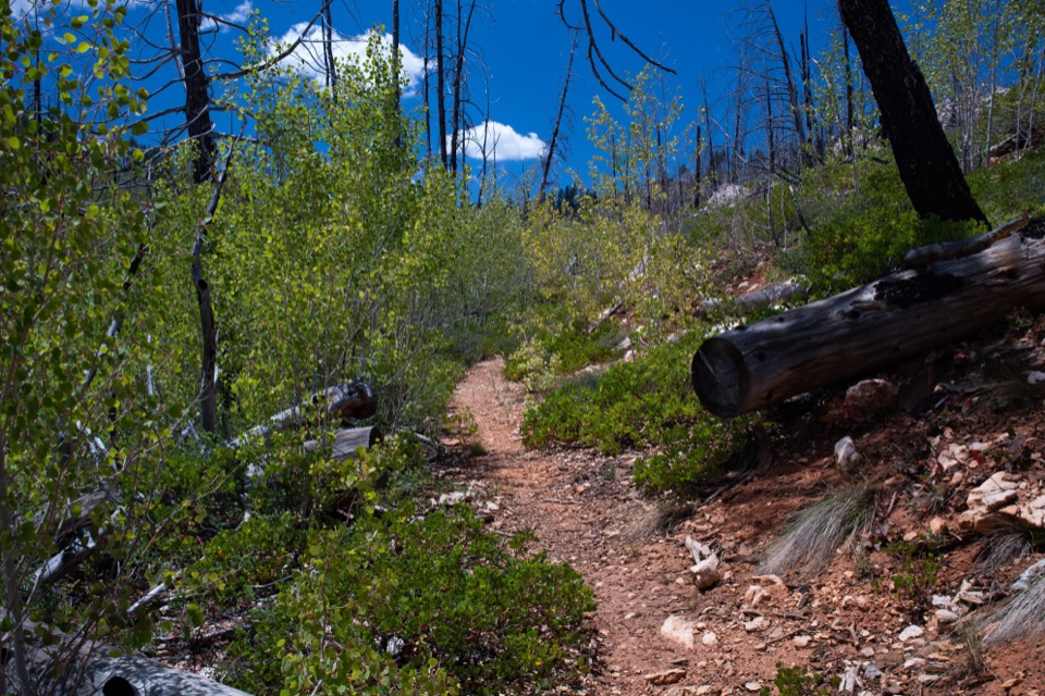
True black birch is an eastern tree. The National Park Service says quaking aspens were probably mistaken for birches here: birch bark peels in papery layers, while aspen bark does not, and the leaves differ in shape. The likely mix-up is a small local name story set against a landscape known for its very different trees and rock formations.

Wildlife

Wildlife in Bryce Canyon

All Bryce Canyon wildlife maps

Sighting maps show where each species has been reported across Bryce Canyon. Wildlife moves, so no sighting is guaranteed.

Keep exploring

Near Black Birch Canyon

See it all on the map

Trails nearby

More stops nearby

Parkwolf’s Bryce Canyon ranking

Top sights in Bryce Canyon

All 41 places
  1. 1Bryce PointSight
  2. 2Sunset PointSight
  3. 3Inspiration PointSight
  4. 4Thor’s HammerSight
  5. 5Sunrise PointSight
  6. 6Natural BridgeSight

Take Parkwolf to Bryce Canyon.

The audio tour guide for the drive, plus offline maps, trails, and wildlife heatmaps for when the signal drops.

4.7 from 8,600+ ratings

Download Parkwolf on the App StoreGet Parkwolf on Google Play