Pros & cons
PROS
- Cooler, shaded walk at the park’s highest elevation
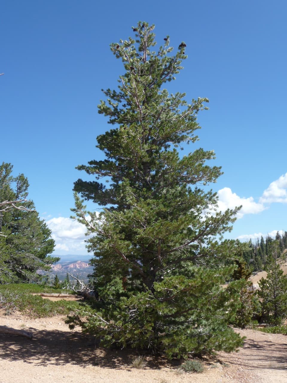
- Ancient bristlecone pines, some estimated around 1,800 years old
- Snowshoe friendly option in winter conditions
CONS
- Limited hoodoo immersion compared to amphitheater trails
- Rainbow Point parking often fills mid‑day in peak season
Park at Rainbow Point at the south end of the park road; restrooms at the trailhead. Arrive early or near sunset during peak season to find a spot.
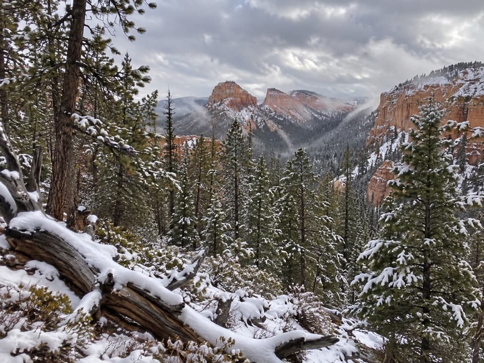
High elevation (over 9,000 ft) can make an easy trail feel harder; snow and ice are possible in winter and early spring. Stay on trail to protect fragile plants on dolomitic limestone soils.
Overview
A short, easy loop at Bryce’s highest point, this 1.0‑mile total circuit starts from Rainbow Point at the end of the park road. Expect a mostly flat, well‑maintained dirt path with minor ups and downs (roughly 200 feet of cumulative gain) at over 9,000 feet—so it feels breezy but remember the altitude. The loop stays above the rim and threads through a quiet, subalpine forest rather than dropping among hoodoos.
What You’ll See
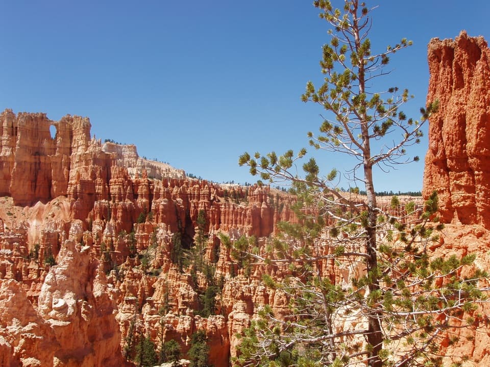
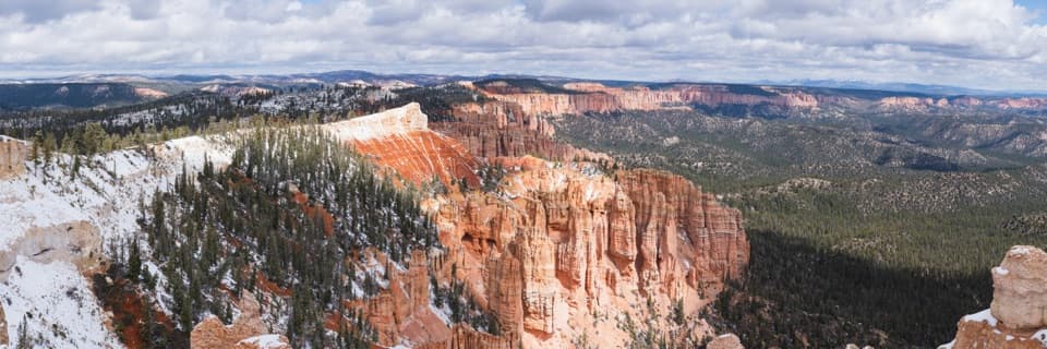
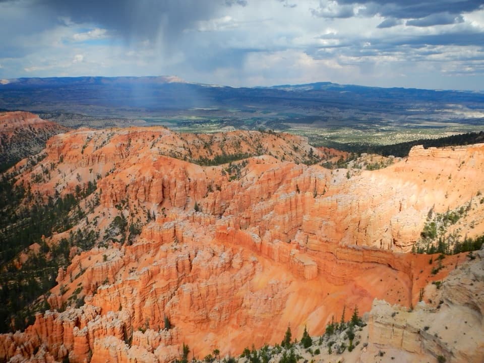
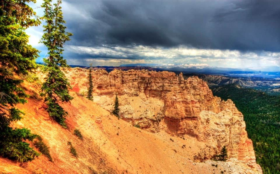
The headline here is the bristlecone pine—gnarled elders that can be well over a thousand years old—mixed with blue spruce, Douglas fir, and white fir. Through breaks in the trees you’ll catch sweeping high‑country vistas and glimpses of Bryce’s colorful formations. It’s shaded, cooler than the amphitheater area, and a calmer vibe than the park’s marquee viewpoints.
Trail Conditions
The tread is natural dirt with some rocky or gravelly patches and short, slightly steeper bits that are easy for most hikers. Portions near overlooks may be paved, but the loop itself is unpaved and not wheelchair‑accessible. The route crosses dolomitic limestone soils that host fragile plant communities—stay on the signed path.
Crowds and Who It’s For
This is a popular quick outing at the very end of the road, often shared with walkers and, in winter conditions, snowshoers. It’s a great fit for families, new hikers, or anyone craving a mellow forest stroll at elevation. If you’re chasing hoodoo immersion, this won’t compete with the Navajo Loop and Queens Garden combo; think of it as Bryce’s serene, high‑country palate cleanser.
Best Time to Hike
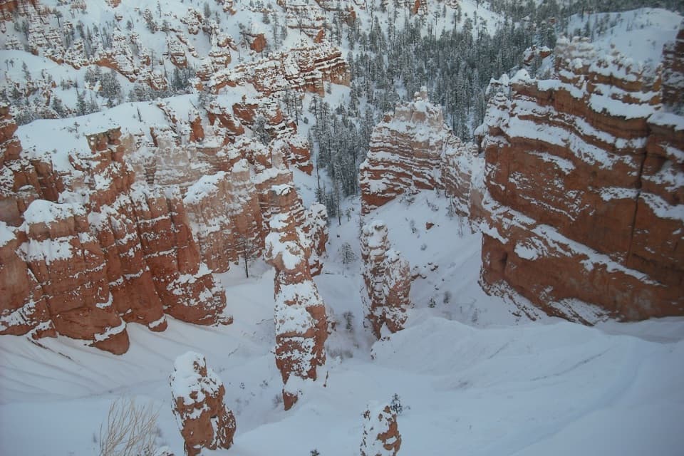
April through October is the sweet spot for pleasant temps and snow‑free tread. Summer stays relatively cool thanks to shade and altitude—go early or near sunset to beat parking crunch and for soft, photogenic light. The loop is typically accessible year‑round; in winter and early spring, expect snow and ice and consider traction or snowshoes.
Logistics & Tips
Park at Rainbow Point (southern terminus of the main road). Restrooms are at the trailhead. Parking can fill mid‑morning through afternoon in peak season, so time your visit accordingly. Move quietly for better chances to spot birds and small mammals, and please keep to the trail to protect those ancient trees and delicate limestone‑loving plants.
Where it starts
37.4753, -112.2396Wildlife on this trail
Near Bristlecone Loop Trail
All places →All trails →
0.1 mi awayRiggs Spring Loop TrailRemote forest loop with springs, solitude, and sweeping rim viewsChallenging · 8.6 mi · 5 hr
0.1 mi awayRainbow PointRoad end summit with vast views and ancient pinesTrailhead · Restroom
0.2 mi awayYovimpa PointSouthernmost overlook with vast views over the Grand StaircaseTrailhead · Parking
1.6 mi awayBlack Birch Canyon OverlookQuiet forest-and-hoodoos vista near the end of the scenic driveParking · Scenic Viewpoint
2.3 mi awayPonderosa Canyon OverlookRed hoodoos meet tall pines at a quiet roadside viewpointPullout · Parking
7.9 mi awaySwamp Canyon LoopUnderrated hoodoos-and-forest loop with real backcountry vibesModerate · 4 mi · 3.5 hr
7.9 mi awaySheep Creek/Swamp Canyon LoopQuiet Bryce loop with meadows, hoodoos, and a satisfying climbModerate · 4.3 mi · 3 hr
10 mi awayUnder-the-Rim TrailBryce’s quiet 22.9-mile backpack beneath hoodoos, pines, and big skiesChallenging · 22.9 mi · 14 hr