Parking
Use the trailhead at the eastern park boundary, reached via Bryce Way through Tropic. The final approach is a dirt road; after storms, check access before driving.
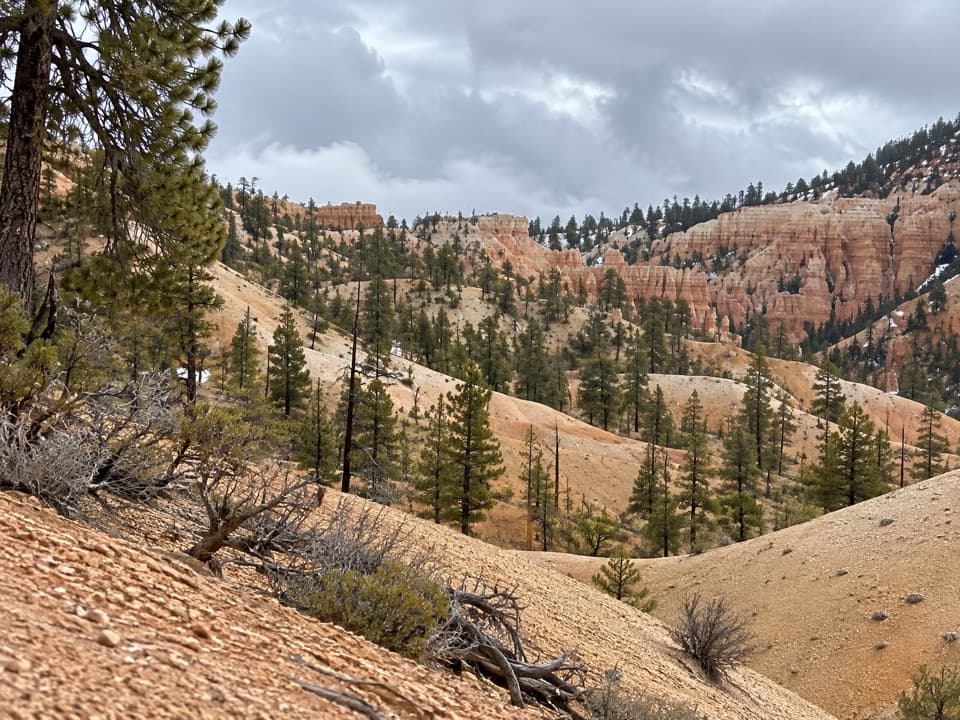
Bryce Canyon National Park, UT
A quieter, below-rim way into the amphitheater.
Overview
Map & elevation
Plan your hike

The highest, rockiest slopes around here are a summer buffet for grizzly bears.
Bryce Canyon Tour Guide
Parkwolf is a GPS audio tour guide for Bryce Canyon National Park. As you drive, it chimes in with what’s ahead: hidden gems, upcoming stops, history, geology, and wildlife, right through your car’s speakers.
See the Bryce Canyon audio tourRecorded for this area
Bryce Point: The Whole Amphitheater“You're approaching Bryce Point, where you can look across the whole hoodoo-filled amphitheater. Keep this stop if you want to see how the rows of towers fit together.”
Plays on the road 1.5 mi from the trailhead in the Parkwolf Bryce Canyon Tour Guide.
More stories near here in the app
“Super fun and useful app! We especially enjoyed the guide as we drove through Bryce Canyon National Park.”


Trail guide
Tropic Trail is a 3.5-mile out-and-back from Bryce Canyon’s eastern boundary into the amphitheater. It is the only route into the amphitheater that starts below the rim, and one of the park’s least-traveled frontcountry hikes. Take it if you want a quieter approach through lower-elevation forest instead of starting at a busy rim overlook.
The path climbs steadily through juniper and pine to the junction with Peekaboo Loop, Navajo Loop and Queen’s Garden. The listed 1.7 miles is the way in; return the same way for about 3.5 miles total. The park rates it moderate and lists about 590 feet of elevation change. Plan on around two hours, plus time if you continue onto another trail.
The Tropic Trail ends at the amphitheater trail junction. Turn back there for the mapped route. Continuing toward the rim on the connected trails adds a separate, steeper climb, so it changes the length and effort of your hike.
Reach the trailhead at the eastern park boundary by following Bryce Way through Tropic. The final approach is a dirt road and has been reported impassable after storms, so check road access before driving it. Pets are not allowed on this unpaved trail.
Wildlife
 15 sightingsWapitiMost seen around 6 AMSighting map
 51 sightingsUtah Prairie DogMost seen around 9 AMSighting map
 334 sightingsMule DeerMost seen around 7 AMSighting map
 120 sightingsPronghornMost seen around 6 PMSighting map
 41 sightingsTurkey VultureMost seen around noonSighting map
 44 sightingsWild TurkeyMost seen around 7 AMSighting map
Sighting maps show where each species has been reported across Bryce Canyon. Wildlife moves, so no sighting is guaranteed.
Keep exploring
 ModerateThe Rim Trail5.5 mi · 3.5 hr · 1.4 mi awayFive and a half rim miles link Bryce Amphitheater’s big overlooks.
 ChallengingBryce Amphitheater Traverse4.7 mi · 3.5 hr · 1.4 mi awayA hoodoo descent, a clockwise trail stretch, and a steep rim climb.
 ChallengingHat Shop Trail4 mi · 3.5 hr · 1.4 mi awayA steep descent to gray-capped hoodoos, then the climb back.
 ChallengingPeekaboo Loop Trail5.5 mi · 3.5 hr · 1.4 mi awayWall of Windows close up; a 1,560-foot climb back to the rim.
 ModerateNavajo Loop Trail1.3 mi · 1.5 hr · 1.9 mi awayA steep descent to Thor’s Hammer, then a climb back out.
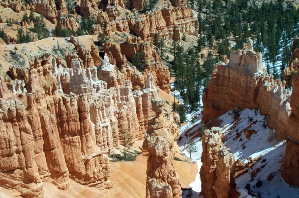 ChallengingNavajo/Peekaboo Combination Loop4.9 mi · 3.5 hr · 1.9 mi awayLink Navajo’s steep switchbacks to a clockwise lap around Peekaboo.
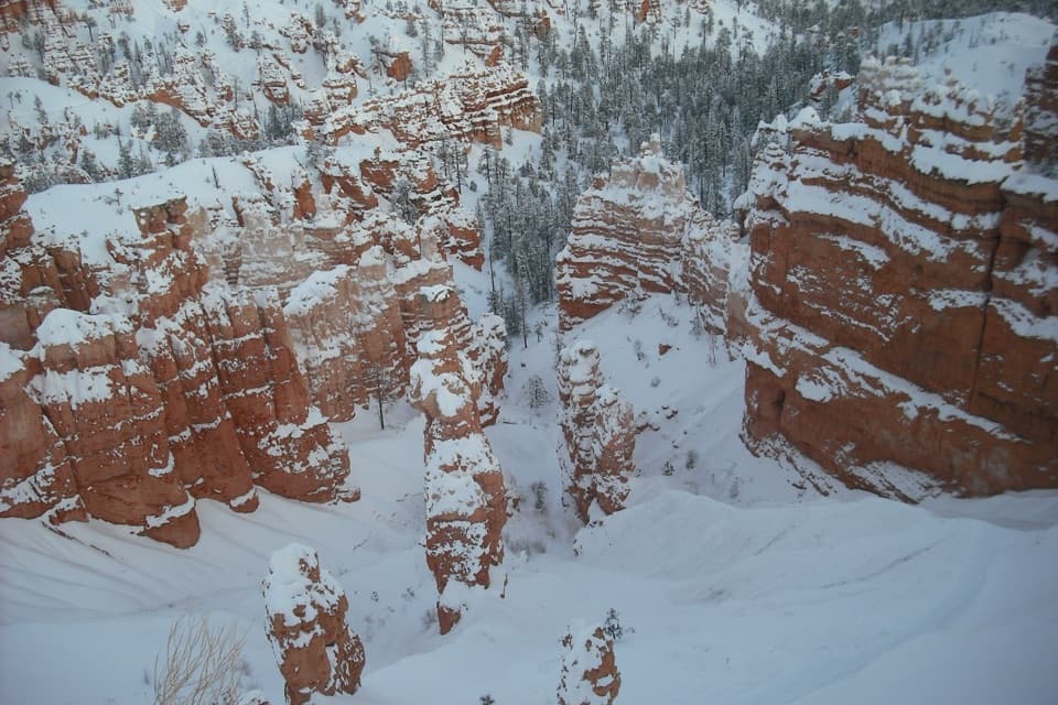 ChallengingFigure-8 Combination6.4 mi · 4.5 hr · 1.9 mi awayA long loop links Queen’s Garden, Peekaboo, Navajo, and the rim.
 ModerateQueen’s Garden / Navajo Combination Loop2.9 mi · 2.5 hr · 1.9 mi awaySave Navajo’s steep switchbacks for the climb back out.
 Sight · 1.4 mi awayTower BridgeTwo hoodoo towers linked by a natural bridge beneath the rim.
 Sight · 1.4 mi awayBryce PointA sweeping view across the hoodoo amphitheater from its southern rim.
 Restroom · 1.5 mi awayPeekaboo Loop RestroomA seasonal pit toilet on the west side of Peekaboo Loop.
 Sight · 1.6 mi awayWall of WindowsA close-up of this limestone fin comes with a full hike.
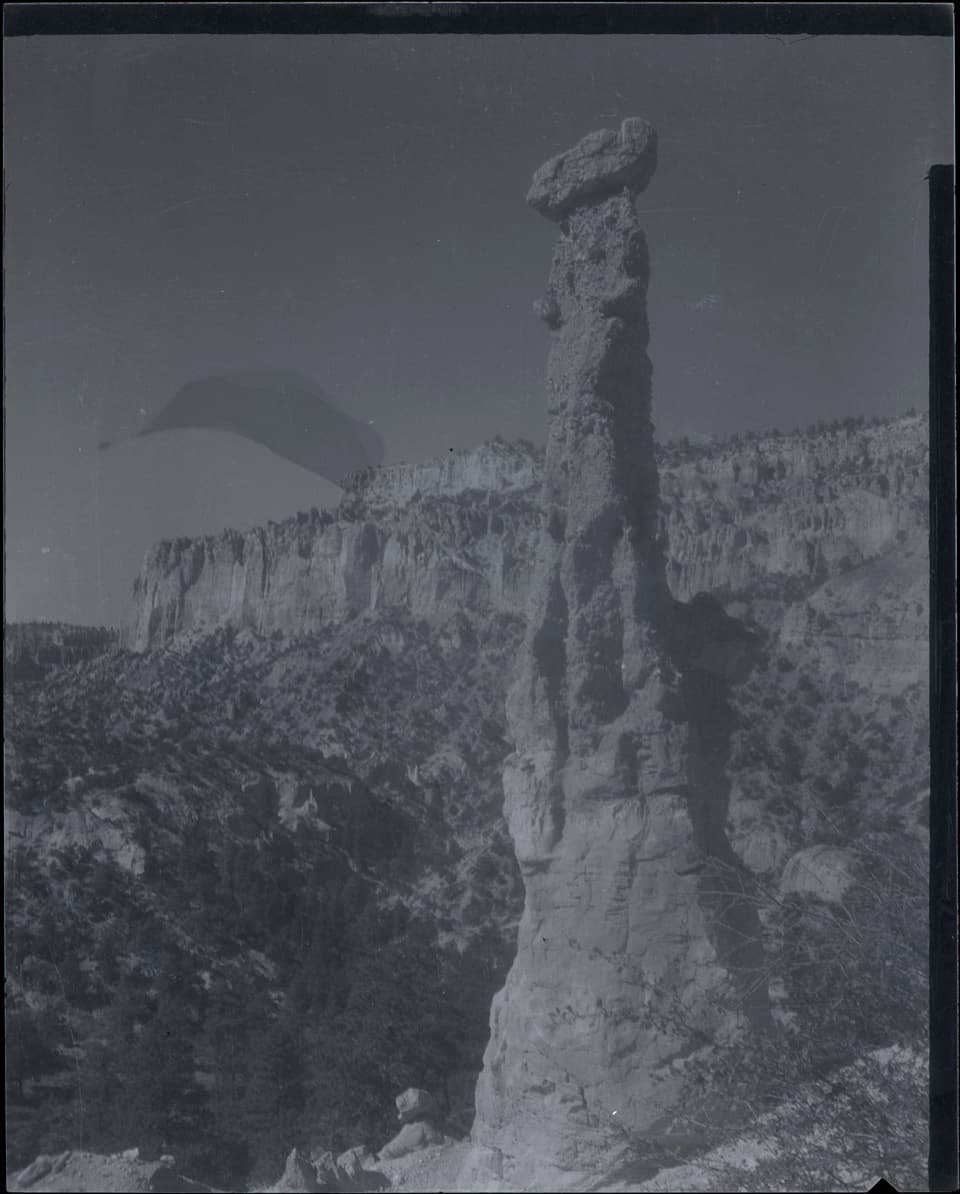 Sight · 1.7 mi awayHat ShopA demanding hike ends at strangely capped orange hoodoos.
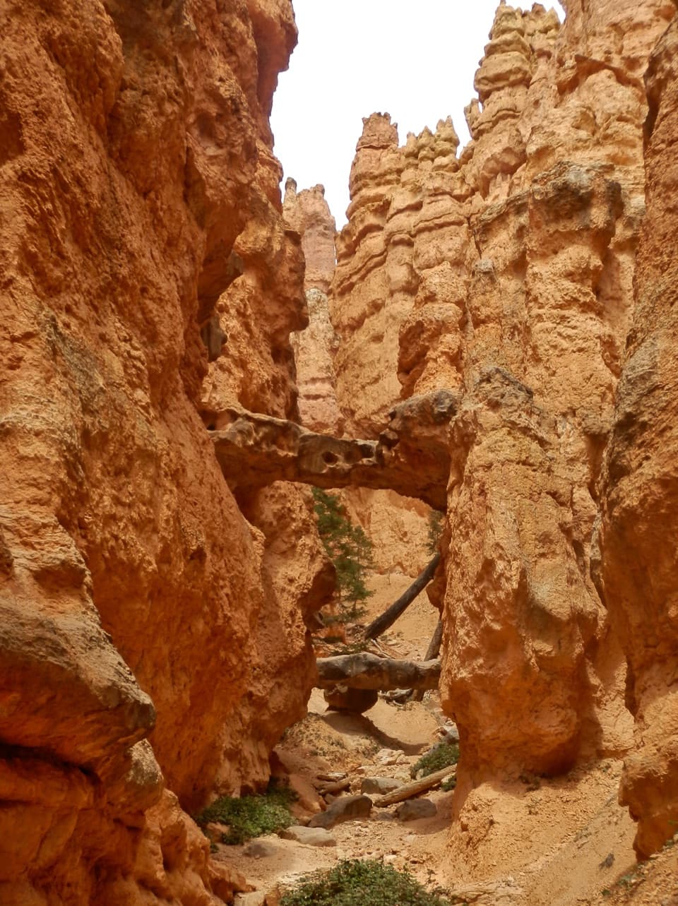 Sight · 1.8 mi awayTwo BridgesTwo rock spans tuck into a narrow, red-walled Navajo Loop canyon.
 Sight · 1.8 mi awayQueen’s GardenA hoodoo garden with Queen Victoria at the end of a spur.
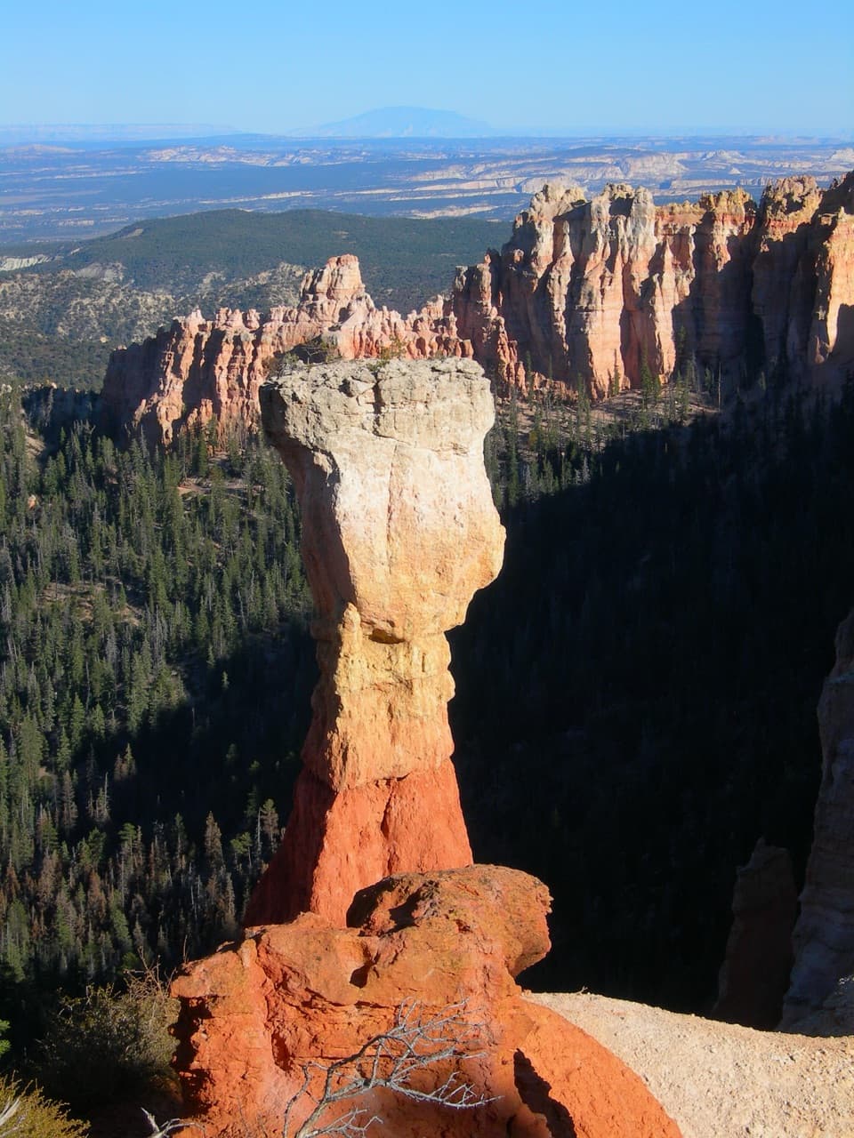 Sight · 1.8 mi awayThor’s HammerA hammer-shaped hoodoo you can spot from the rim.
Parkwolf’s Bryce Canyon ranking

The audio tour guide for the drive, plus offline maps, trails, and wildlife heatmaps for when the signal drops.

