Hat Shop in Bryce Canyon National Park

Sight · Bryce Canyon National Park

Hat Shop

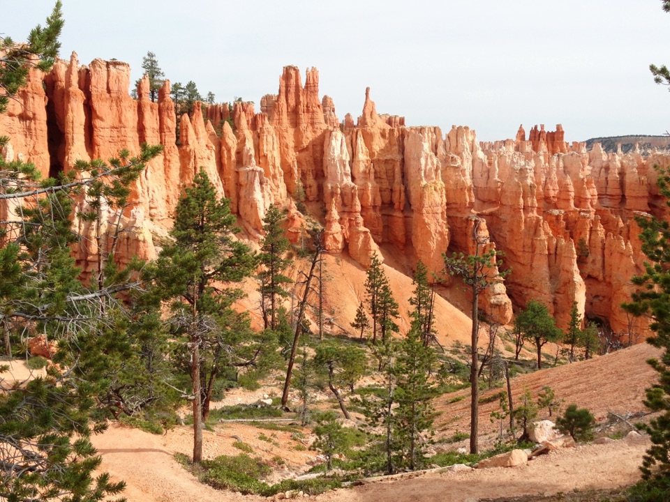
A demanding hike ends at strangely capped orange hoodoos.

Photo: Wikimedia Commons
Type
Sight
Nearest trail
1.1 mi
Audio stories
2 nearby

Hear the audio tour

Bryce Point: The Whole Amphitheater

Overview

About Hat Shop

Why stop

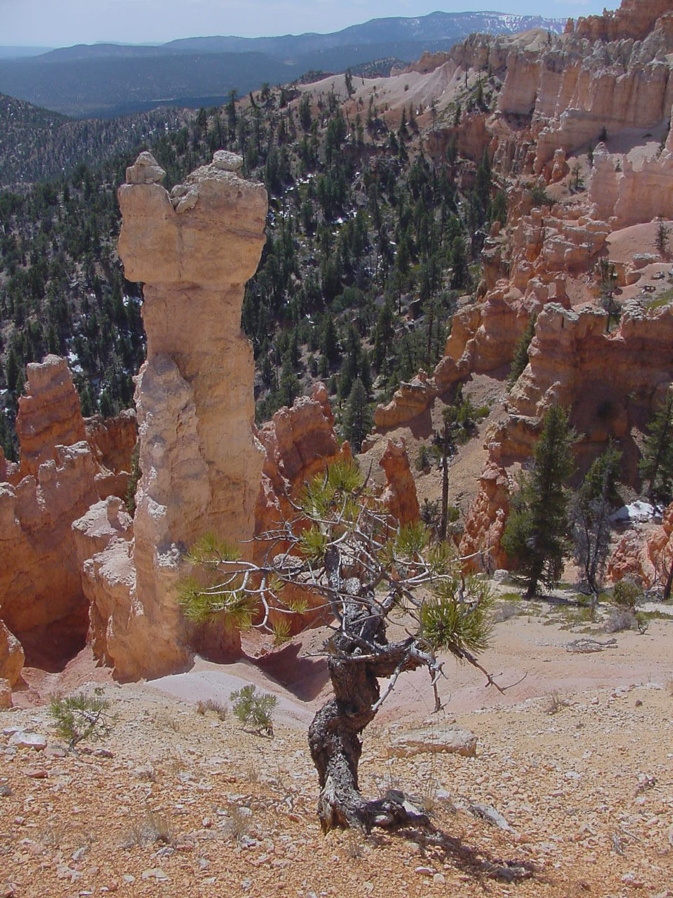
  • Distinctive orange pinnacles with oversized gray boulder caps

Heads up

  • A strenuous four-mile hike with a steep uphill return

Map

Where it is

Loading the Bryce Canyon map
Full map
SightHat Shop37.59114, -112.14450
Keep this map with you offline in the Parkwolf app

Plan your stop

Before you go

3 active Bryce Canyon alerts

  • CautionUnder-the-Rim Trail hiker advisoryMentions Under-the-Rim Trail, referenced in this guideHike the Under-the-Rim Trail only if you are prepared for deteriorated conditions and delayed emergency response. - The trail has many places with deteriorated trail conditions.Official details
  • ClosureTrail closures due to recent weather eventWall Street and the Bryce Connector Trail to Peekaboo Loop are closed until further notice because of a recent weather event. - Do not enter these closed trails.Official details

See all 3 alerts
A park ranger sits on a dash-mounted phone, talking, as Parkwolf’s Tour Guide plays “Army Cutworm Moths: A Grizzly Bear Buffet” on Grand Loop Road below Dunraven Pass in Yellowstone
Parkwolf Tour GuideThe highest, rockiest slopes around here are a summer buffet for grizzly bears.

Bryce Canyon Tour Guide

Your drive to Hat Shop, narrated.

Parkwolf is a GPS audio tour guide for Bryce Canyon National Park. As you drive, it chimes in with what’s ahead: hidden gems, upcoming stops, history, geology, and wildlife, right through your car’s speakers.

Recorded for this place

Bryce Point: The Whole Amphitheater
0:00 / 0:35
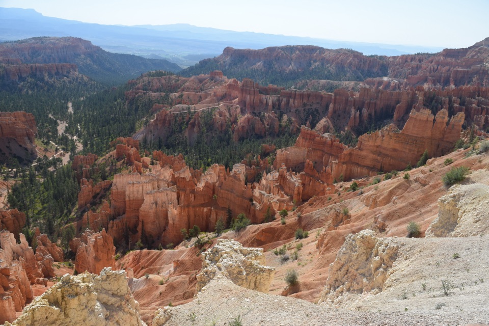
“You're approaching Bryce Point, where you can look across the whole hoodoo-filled amphitheater. Keep this stop if you want to see how the rows of towers fit together.”

Plays as you drive up to Hat Shop in the Parkwolf Bryce Canyon Tour Guide.

More stories near here in the app

  • Paria View: A Mountain on the Horizon
  • Inspiration Point: Three Levels of Views
  • Sunset Point and Thor's Hammer
  • Sunset Campground: A Base Near the Rim
  • 30 audio storiesacross Bryce Canyon’s roads, triggered by GPS as you drive
  • Wildlife heatmapsfor Wapiti, Utah Prairie Dog, Mule Deer, and 13 more
  • Works offlinemaps, 24 trails, 41 places, and audio download before you lose signal
  • CarPlay readysimple controls built for the drive
★★★★★
“Super fun and useful app! We especially enjoyed the guide as we drove through Bryce Canyon National Park.”
Rae607App Store review
Download Parkwolf on the App StoreGet Parkwolf on Google Play

4.7 from 8,600+ ratings

Guide

More about Hat Shop

What the Hat Shop isThe Hat Shop is a cluster of narrow orange hoodoos topped by large gray boulders, at the…

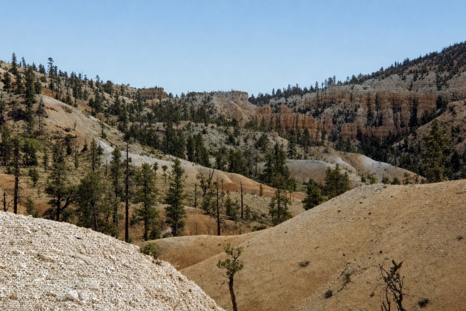
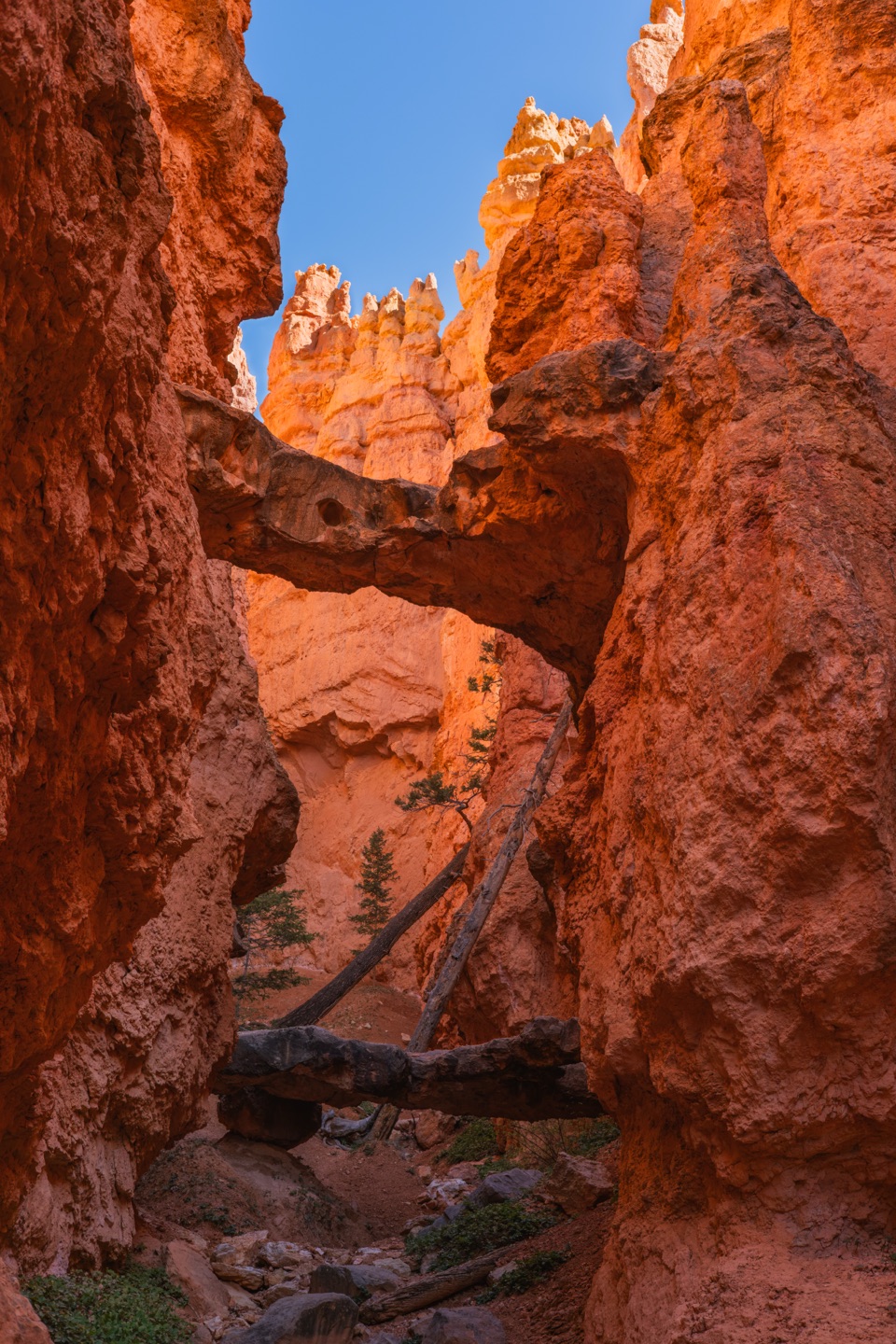
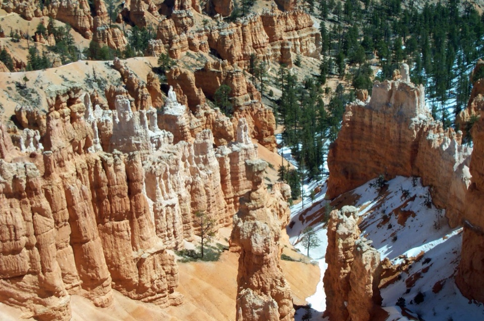
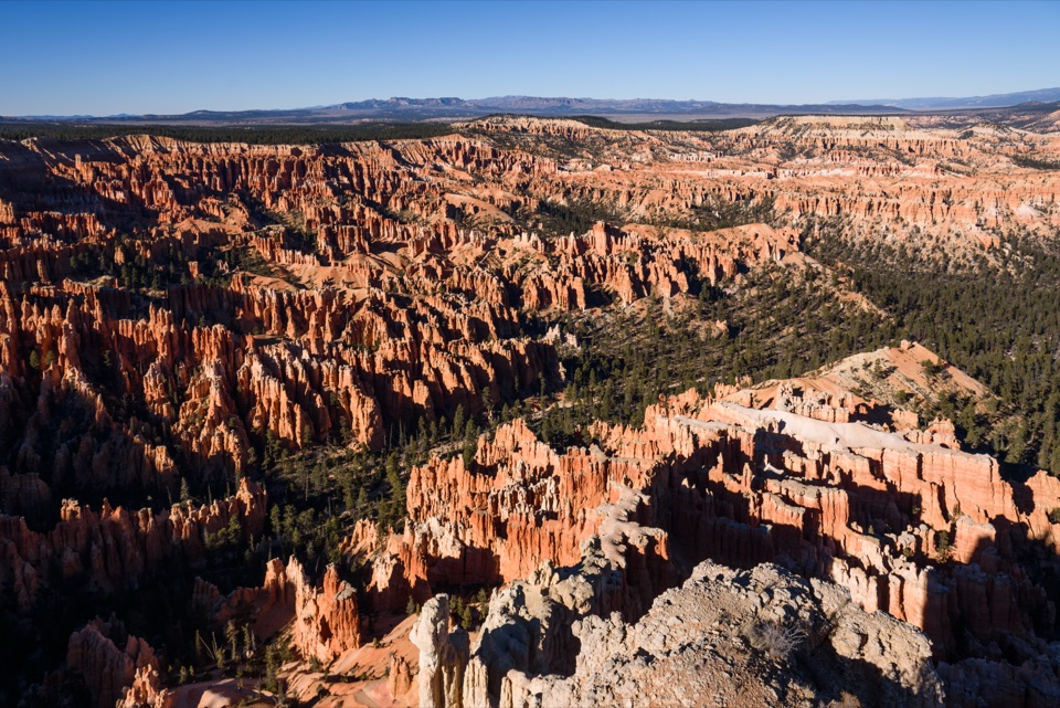
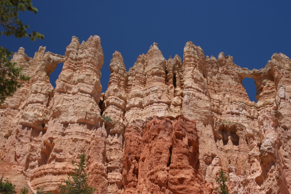
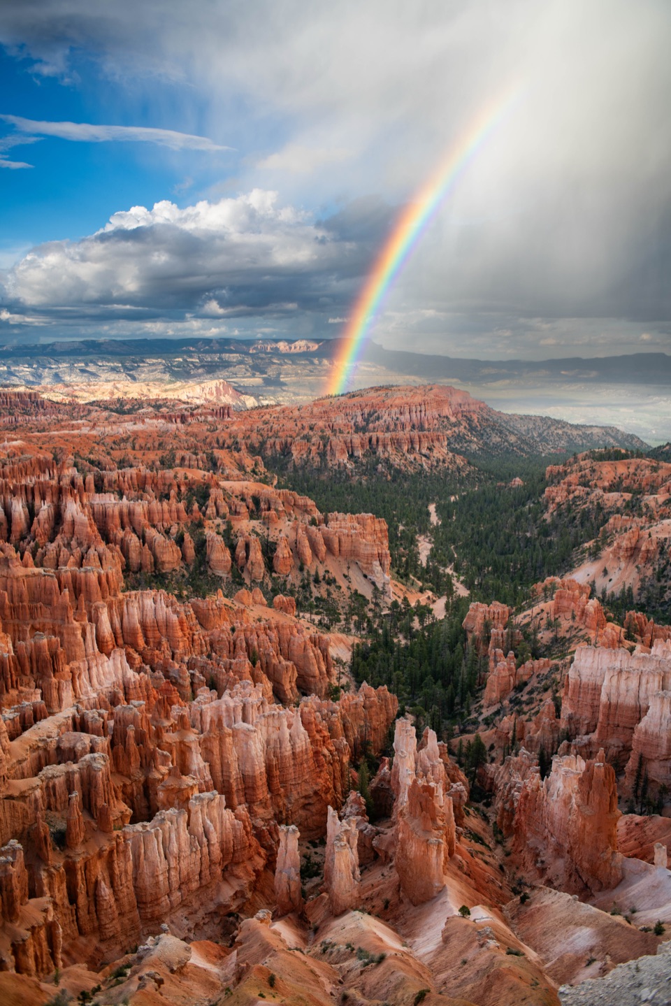
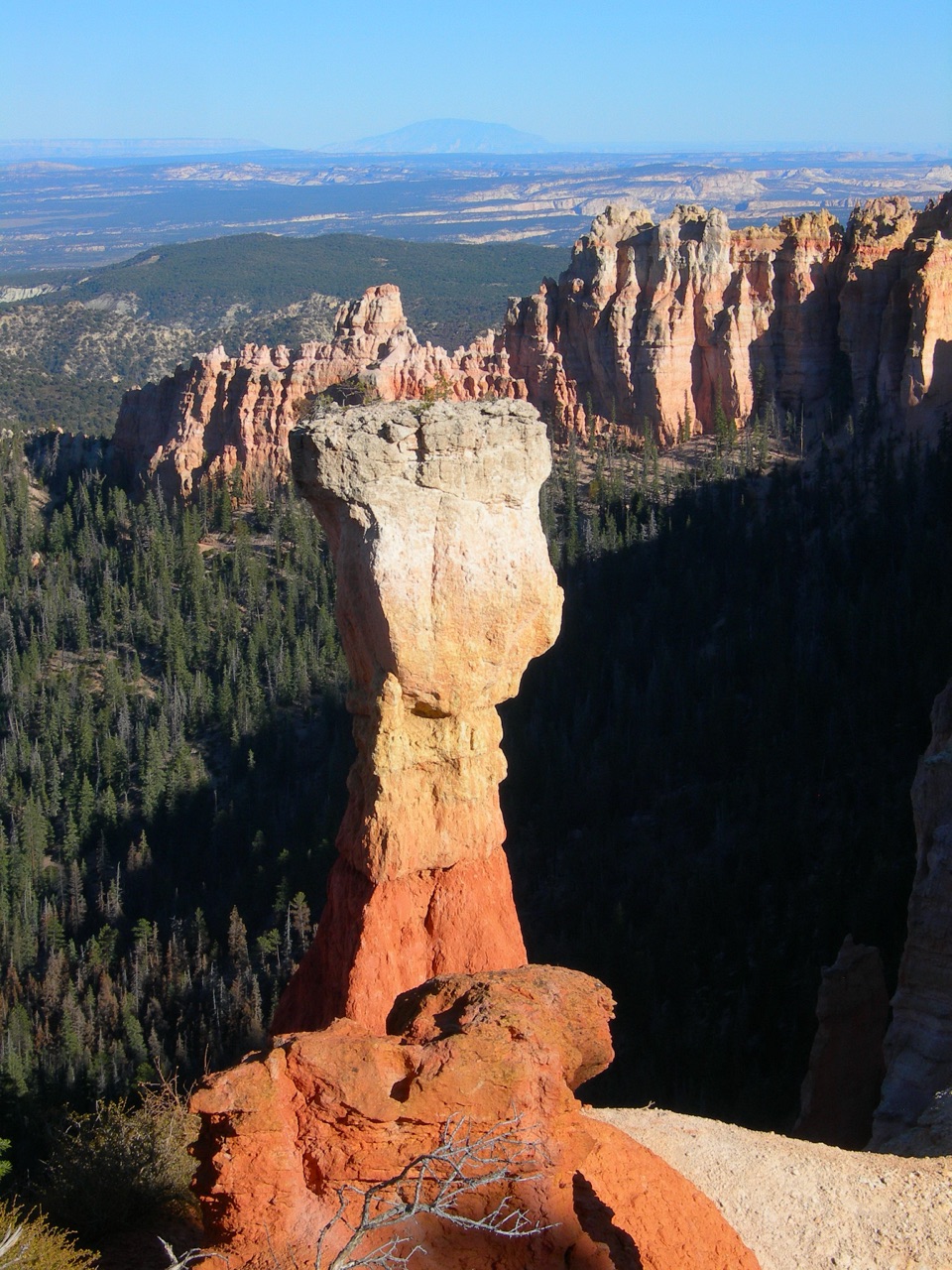
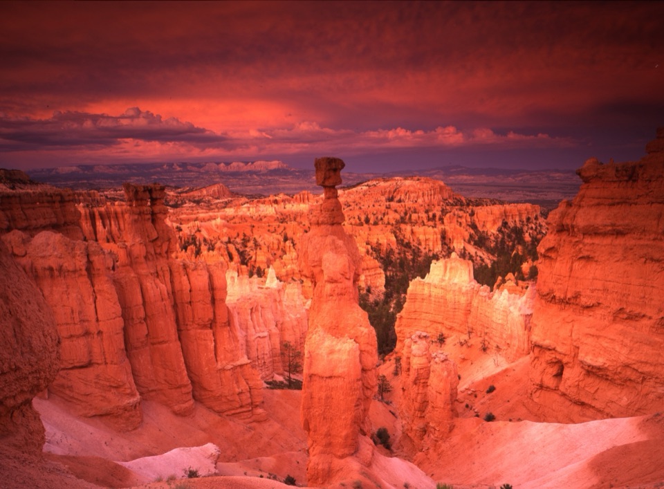
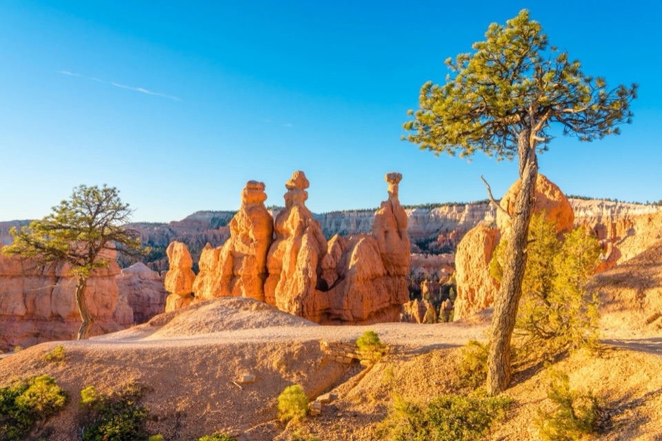
The Hat Shop is a cluster of narrow orange hoodoos topped by large gray boulders, at the turnaround on the Under-the-Rim Trail. There is no store here: this is a rock formation reached on foot, about two hiking miles below Bryce Point. It is a rewarding backcountry destination if you want to get among a small, distinctive group of hoodoos; it is not a quick stop between overlooks.

Make the hike the main eventFrom Bryce Point, plan on a 4-mile round trip and roughly three to four hours.

From Bryce Point, plan on a 4-mile round trip and roughly three to four hours. The trail drops about 1,400 feet over the two miles to the Hat Shop, then you climb nearly all of it on the way back. The return is the demanding part, so leave enough time and water for the uphill leg. There are no services at the formation; parking is at Bryce Point.

The formation and the viewAt the turnaround, look for the thin orange columns and their oversized gray caps.

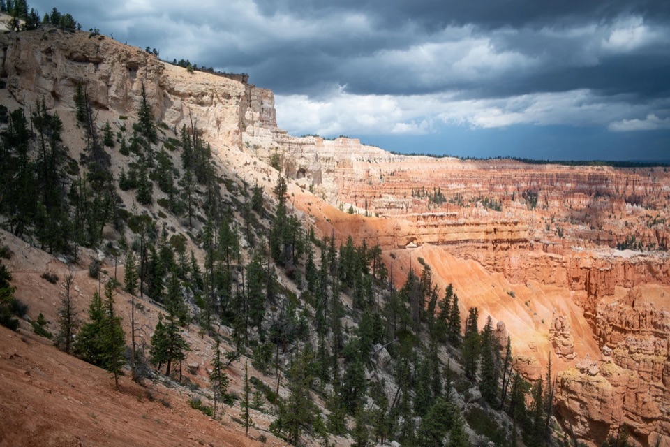
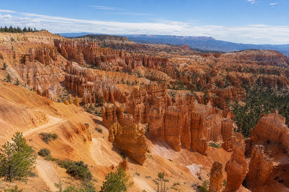
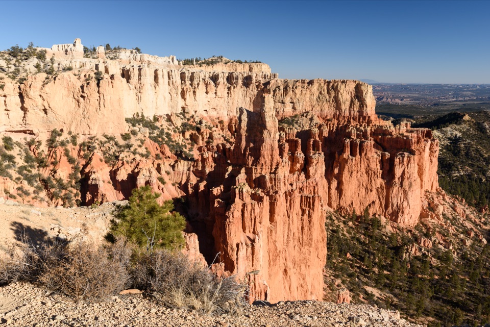
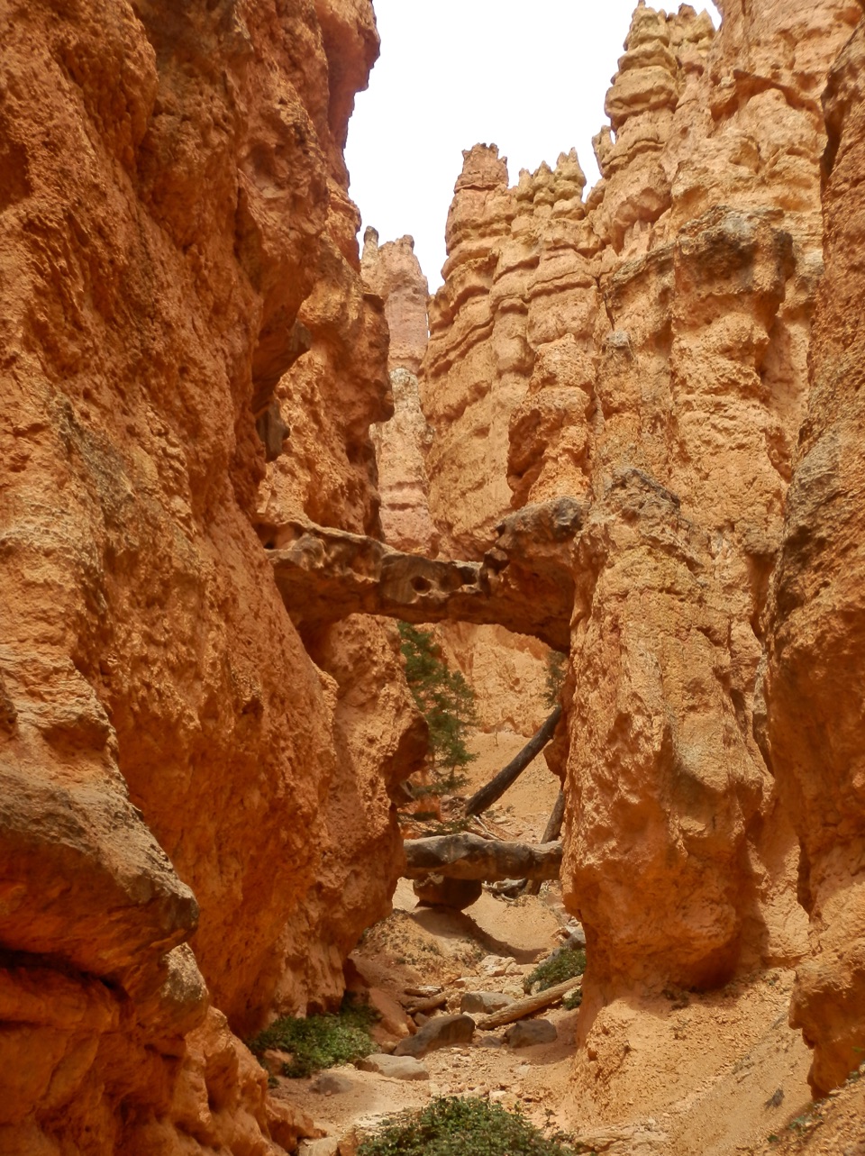
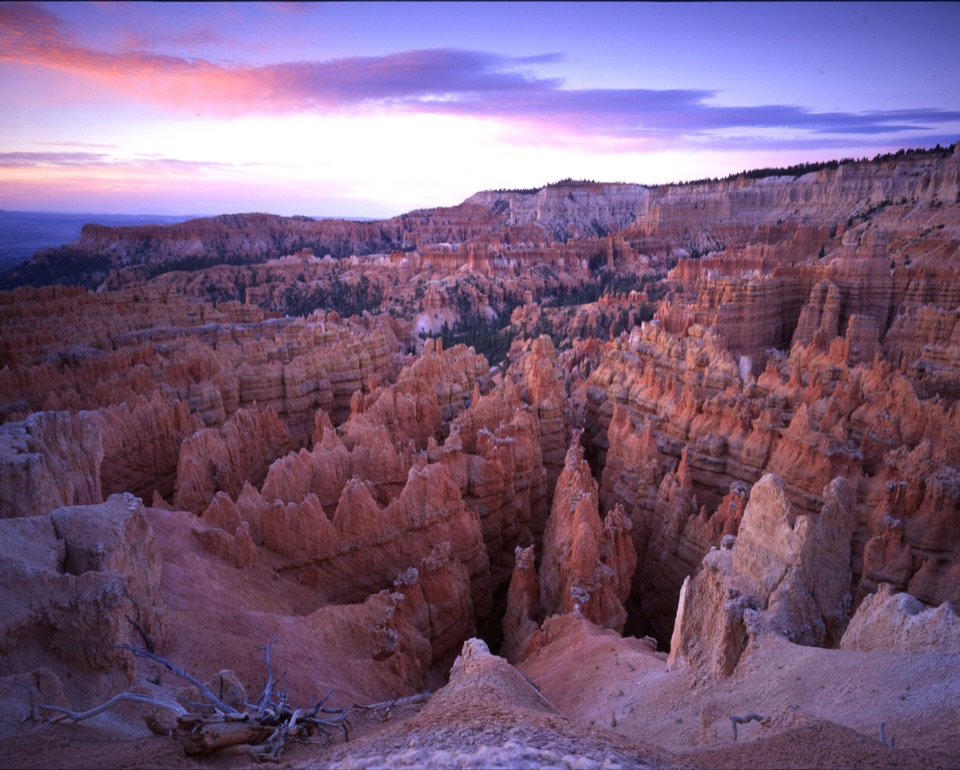
At the turnaround, look for the thin orange columns and their oversized gray caps. The approach also opens to long views south across the colorful cliffs of the Grand Staircase. For a photograph, frame a broad capstone with the narrow stem beneath it; including a second formation or some of the cliff behind helps show their scale.

Why the rocks wear hatsBryce's hoodoos began as sediment in an ancient lake-and-floodplain landscape about 50 million…

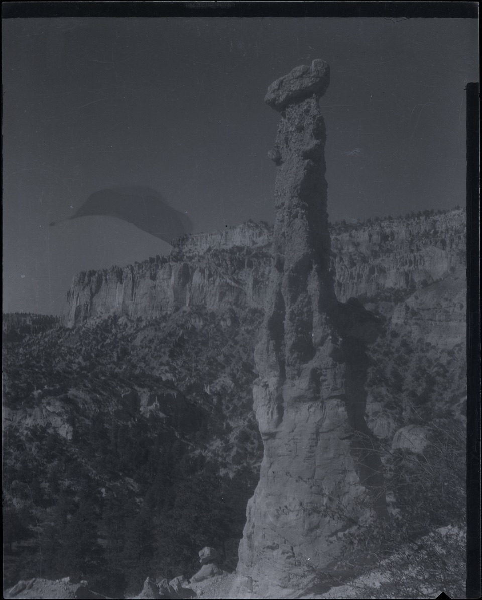
Bryce's hoodoos began as sediment in an ancient lake-and-floodplain landscape about 50 million years ago. After those layers hardened and the Colorado Plateau rose, water working into cracks froze and expanded, while weakly acidic rain slowly dissolved some of the mineral cement. More resistant layers erode differently from softer ones, leaving the Hat Shop's conspicuous boulder caps above slender columns.

Conditions to plan aroundThe route is strenuous and follows natural, uneven terrain.

The route is strenuous and follows natural, uneven terrain. Ice and deep snow can make it hazardous in winter, so go then only if you are prepared for those conditions. Pets are not allowed on the trail.

Wildlife

Wildlife in Bryce Canyon

All Bryce Canyon wildlife maps

Sighting maps show where each species has been reported across Bryce Canyon. Wildlife moves, so no sighting is guaranteed.

Keep exploring

Near Hat Shop

See it all on the map

Trails nearby

More stops nearby

Parkwolf’s Bryce Canyon ranking

Top sights in Bryce Canyon

All 41 places
  1. 1Bryce PointSight
  2. 2Sunset PointSight
  3. 3Inspiration PointSight
  4. 4Thor’s HammerSight
  5. 5Sunrise PointSight
  6. 6Natural BridgeSight

Take Parkwolf to Bryce Canyon.

The audio tour guide for the drive, plus offline maps, trails, and wildlife heatmaps for when the signal drops.

4.7 from 8,600+ ratings

Download Parkwolf on the App StoreGet Parkwolf on Google Play