Parking
Balsporran Cottages car park, just off the west side of the A9 before the cottages. Pass the cottages and cross the railway at the level crossing to begin the circuit. Parking capacity and fees were not found.

Cairngorms National Park, SC
Two Munros, a high saddle, and a Loch Ericht view
Overview
Map & elevation
Plan your hike

The highest, rockiest slopes around here are a summer buffet for grizzly bears.
Cairngorms Tour Guide
Parkwolf is a GPS audio tour guide for Cairngorms National Park. As you drive, it chimes in with what’s ahead: hidden gems, upcoming stops, history, geology, and wildlife, right through your car’s speakers.
See the Cairngorms audio tourRecorded for this trailhead
Balsporran’s Two-Munro Circuit“You're nearing Balsporran Cottages, where a circuit links the Munros of Geal Chàrn and A’ Mharconaich. Give it four and a half to six hours for open hillwalking, with views along Loch Ericht toward Ben Alder.”
Plays as you drive up to this trailhead in the Parkwolf Cairngorms Tour Guide.
More stories near here in the app
“Fantastic app with many points of information… It’s great to just turn on while you’re driving and it gives you an audio tour of the national Park. We love it!!!!”


Trail guide
A’ Mharconaich and Geal Chàrn Circuit is a 7.18-mile loop from Balsporran Cottages, linking two Munros above Drumochter Pass: Geal Chàrn (917 m) first, then A’ Mharconaich (975 m). Expect roughly 730 m of climbing and allow 4½ to 6 hours; keep most of a day free for it. It is a satisfying way to reach two summits from one start, but the mileage disguises a full hill day: most of the route is open heath and rough high ground, with a briefly faint path on Geal Chàrn’s broad shoulder, a steep spur below A’ Mharconaich, and a boggy finish. This suits fit hillwalkers comfortable following a line across open terrain. Low cloud makes the shoulder and plateau harder to read, so confident navigation matters.
Start at the car park just off the west side of the A9 by Balsporran Cottages. Walk past the cottages and cross the Highland railway at the level crossing, then follow the track uphill. Ignore the first main fork to the right, cross a tributary burn by its bridge, and take the later right-hand fork. The track gradually gives way to a path over heathery slopes. On the flat shoulder, one of the old cairns remains, and the path fades for a short stretch before the summit approach becomes clearer. Geal Chàrn is a rounded top rather than a dramatic rocky point; its cairn looks west over Loch Ericht toward Ben Alder, with A’ Mharconaich rising to the south.
From Geal Chàrn, descend southwest and then south to the 739 m bealach. The view along Loch Ericht stays with you. Follow the track on the right for about 350 m, then turn left onto a clear path climbing broad slopes to the plateau-like ridge. Cross the open plateau northeast to A’ Mharconaich’s summit cairn. Sections of matting near the final approach protect the vegetation. This is a wide, exposed stretch, so keep your bearings as you move between the cairns rather than expecting a close, continuous path.
The first part down from A’ Mharconaich is the circuit’s steepest ground: descend north on the spur, with a steep corrie on your right. Take particular care here in winter. The spur eventually flattens and bends northeast, and the gradient eases, but the lower ground becomes very boggy. The final burn crossing may be impassable when water is high. If it is in spate, the described alternative is to bear left earlier and rejoin the bealach track instead of attempting the crossing; that leads back to the railway and cottages.
The starting access is Balsporran Cottages car park, on the west side of the A9. Parking fees and capacity were not found. The route information does not identify public toilets, drinking water, or food along the walk, so bring what you need for the full outing. Dogs may accompany walkers under Scotland’s responsible access rules; keep them under control around livestock and wildlife. A sign photographed at the cottage access in 2019 asks visitors to keep dogs on leads while passing through; check and follow current signs.
Geal Chàrn means “White Peak”; A’ Mharconaich is glossed as “Place of the Horse.” These are the northerly pair of four Munros on the west side of Drumochter Pass. Adding Beinn Udlamain and Sgàirneach Mhòr turns the outing into a much longer four-summit day. For a photo, look back from Geal Chàrn and frame Loch Ericht with Ben Alder beyond and A’ Mharconaich to the south; from the second summit, the pronounced north spur and its corrie show the shape of the descent ahead.
Wildlife
 159 sightingsRed DeerMost seen around 7 AMSighting map
 63 sightingsReindeerMost seen around 6 PMSighting map
 102 sightingsOspreyMost seen around 5 PMSighting map
 37 sightingsBlack GrouseMost seen around 4 AMSighting map
 72 sightingsRed GrouseMost seen around 6 PMSighting map
 82 sightingsPine MartenMost seen around 9 PMSighting map
Sighting maps show where each species has been reported across Cairngorms. Wildlife moves, so no sighting is guaranteed.
Keep exploring
 ChallengingCàrn na Caim and A’ Bhuidheanach Bheag19 km · 6 hr · 3 km awayTwo Munros, fence posts, boggy dips and miles of open plateau.
 EasyLoch Ericht Walk2.4 km · 38 min · 5.8 km awayA short loop from Dalwhinnie to the head of Loch Ericht.
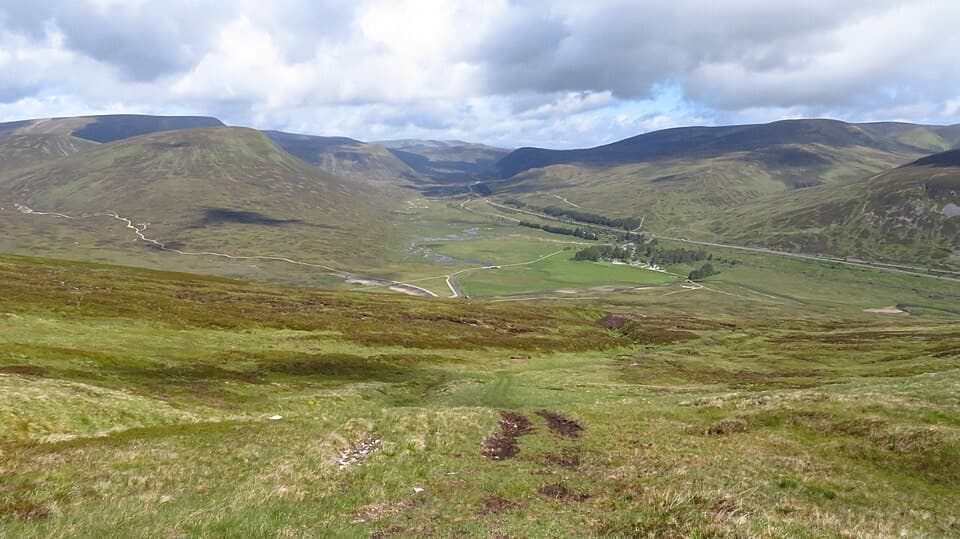 ModerateMeall na Leitreach from Dalnaspidal8.1 km · 3 hr · 6.2 km awayA rough hill track to a broad summit above Drumochter Pass
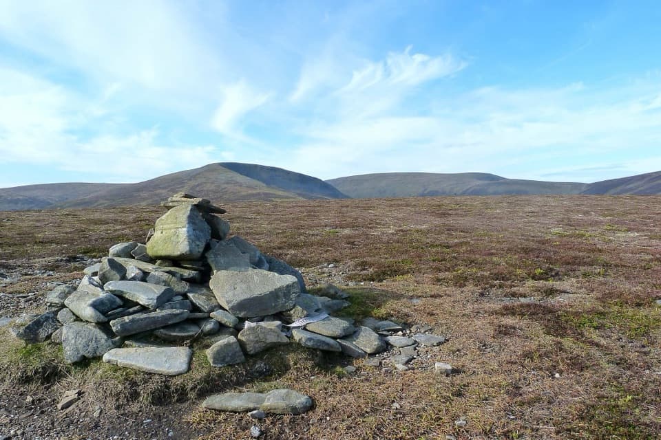 ModerateSow of Atholl from Dalnaspidal6.8 km · 2.8 hr · 6.2 km awayA rough climb to a broad view over Drumochter Pass.
 ModerateMeall Chuaich from Layby 9414.1 km · 4.5 hr · 7.9 km awayA long track walk earns a broad Munro summit panorama.
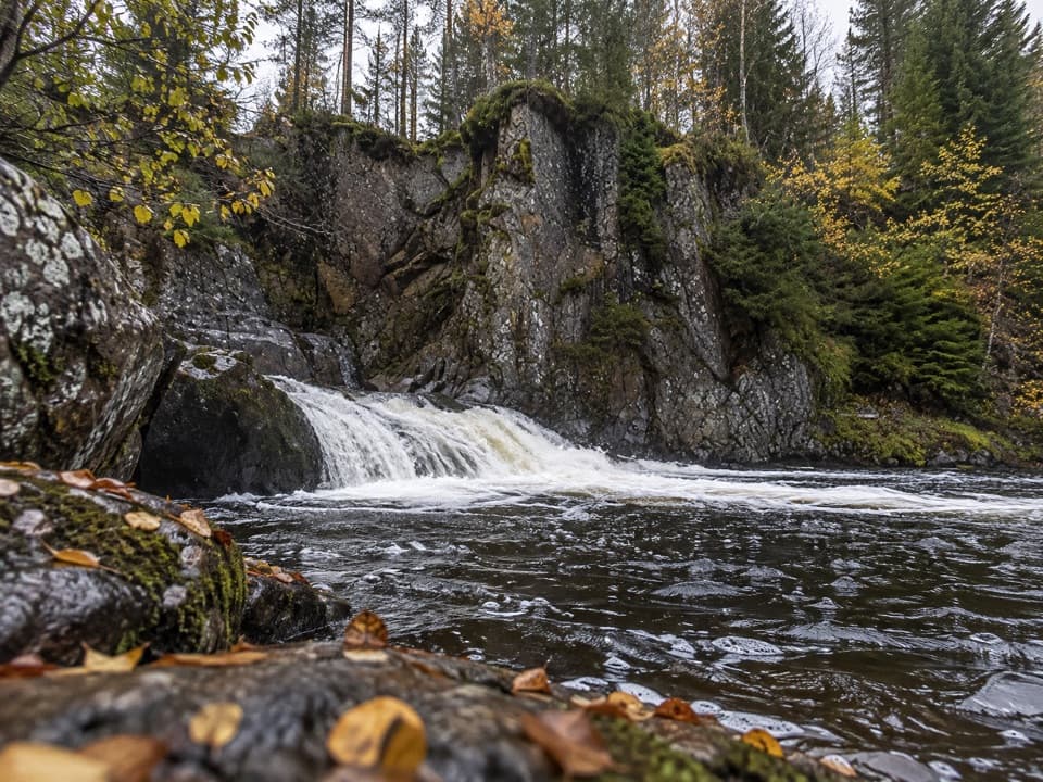 EasyLower Pattack Falls Stroll0.2 km · 15 min · 12.7 km awayA short woodland path to the Pattack’s lower cascade.
 ModerateDruim an Aird Township Trail4.4 km · 1.8 hr · 12.7 km awayFollow yellow markers through woodland to a ruined township.
 EasyFalls of Pattack Trail4.5 km · 1.5 hr · 12.9 km awayA woodland climb reaches the upper falls in a rocky gorge.
Parkwolf’s Cairngorms ranking

The audio tour guide for the drive, plus offline maps, trails, and wildlife heatmaps for when the signal drops.