Parking
Use the parking area on the approach road to Dalnaspidal Lodge, just before the Highland Main Line level crossing. Cross the railway and follow the signed public footpath. No public transport reaches the start.
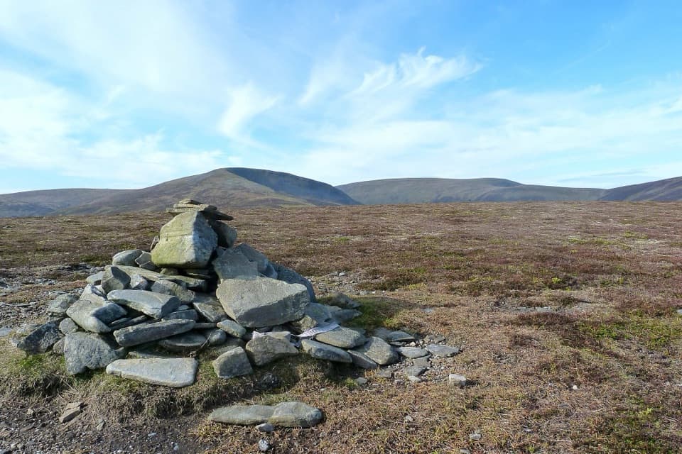
Cairngorms National Park, SC
A rough climb to a broad view over Drumochter Pass.
Overview
Map & elevation
Plan your hike

The highest, rockiest slopes around here are a summer buffet for grizzly bears.
Cairngorms Tour Guide
Parkwolf is a GPS audio tour guide for Cairngorms National Park. As you drive, it chimes in with what’s ahead: hidden gems, upcoming stops, history, geology, and wildlife, right through your car’s speakers.
See the Cairngorms audio tourRecorded for this trailhead
Dalnaspidal and Meall na Leitreach“Dalnaspidal is ahead, the starting point for Meall na Leitreach. Choose this for a broad summit view along Drumochter Pass, with rolling moorland rather than a dramatic rocky peak.”
Plays as you drive up to this trailhead in the Parkwolf Cairngorms Tour Guide.
More stories near here in the app
“Fantastic app with many points of information… It’s great to just turn on while you’re driving and it gives you an audio tour of the national Park. We love it!!!!”


Trail guide
The Sow of Atholl from Dalnaspidal is a 4.25-mile out-and-back to a 799 m summit above Drumochter Pass. Allow 2.5 to 3 hours and about 393 m of ascent. You follow gravel and grassy tracks beside two burns, then climb open heather to a small summit cairn. It is a shorter, standalone hillwalk, separate from the longer West Drumochter Munros circuit.
Start from the parking area before the railway level crossing near Dalnaspidal Lodge. Cross the line, go through the next gate marked for public footpath, and follow the track to the sluice bridge over Allt Dubhaig. Cross it, continue to the bridge over Allt Coire Luidhearnaidh, then turn right before that bridge onto the bank track. This gently climbing track follows the burn for about a kilometre.
The track fades before the summit. Turn right onto steep, open heather and keep going uphill; there is no built path across this slope, and any tread is faint. The ground can be boggy, so the last part takes more care than the short distance suggests. A faint line trends west higher up, but it is not the summit route.
The slope eases onto a broad plateau with a small cairn. Walk a little northeast of it for the best view toward Drumochter Pass; steep ground drops away on that side. Return by the same route. This is open hill country, so keep a map and compass handy if cloud comes down.
The Sow is also called Meall an Dobharchain, with a spelling variant appearing in hill references. One interpretation translates the Gaelic name as “hill of the watercress.” The neighboring An Torc is known as the Boar of Badenoch, which gives the two summits a fitting pair of names.
Dogs can accompany walkers under Scotland’s responsible access rules; keep them under proper control around livestock and wildlife. There is no public transport to the start.
Wildlife
 159 sightingsRed DeerMost seen around 7 AMSighting map
 63 sightingsReindeerMost seen around 6 PMSighting map
 102 sightingsOspreyMost seen around 5 PMSighting map
 37 sightingsBlack GrouseMost seen around 4 AMSighting map
 72 sightingsRed GrouseMost seen around 6 PMSighting map
 82 sightingsPine MartenMost seen around 9 PMSighting map
Sighting maps show where each species has been reported across Cairngorms. Wildlife moves, so no sighting is guaranteed.
Keep exploring
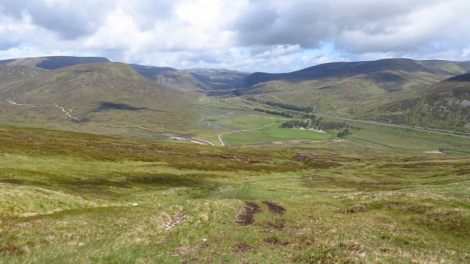 ModerateMeall na Leitreach from Dalnaspidal8.1 km · 3 hr · At the trailheadA rough hill track to a broad summit above Drumochter Pass
 ChallengingA’ Mharconaich and Geal Chàrn Circuit11.6 km · 5.5 hr · 6.2 km awayTwo Munros, a high saddle, and a Loch Ericht view
 ChallengingGaick Pass34.4 km · 9 hr · 8.3 km awayA remote old drove road, with lochs, bog and three fords.
 ChallengingCàrn na Caim and A’ Bhuidheanach Bheag19 km · 6 hr · 8.7 km awayTwo Munros, fence posts, boggy dips and miles of open plateau.
 EasyLoch Ericht Walk2.4 km · 38 min · 11.7 km awayA short loop from Dalwhinnie to the head of Loch Ericht.
 ModerateMeall Chuaich from Layby 9414.1 km · 4.5 hr · 13.4 km awayA long track walk earns a broad Munro summit panorama.
 ModerateStruan Kirk Walk2.4 km · 1 hr · 17.3 km awayA short circuit to a remote kirk above the River Garry gorge.
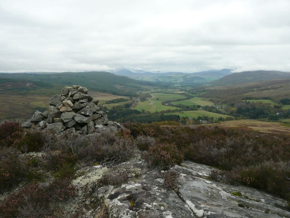 ChallengingStruan Point Walk4 km · 1.8 hr · 17.5 km awayA short, steep moorland climb to views over Strathgarry.
Parkwolf’s Cairngorms ranking

The audio tour guide for the drive, plus offline maps, trails, and wildlife heatmaps for when the signal drops.






