Parking
Layby 94 on the east side of the A9, just south of Cuaich cottages. Walk north along the verge to the pedestrian gate beside the larger gate. No public transport reaches the start.

Cairngorms National Park, SC
A long track walk earns a broad Munro summit panorama.
Overview
Meall Chuaich is a rounded 951 m Munro east of Drumochter. The standard walk is an 8.75-mile out-and-back from A9 Layby 94, usually four to five hours with about 614 m of ascent. Its open summit gives a wide view across Badenoch and Strathspey. The tradeoff is a long, mostly level approach before the proper climb begins.
 Parkwolf’s verdictIs this the Munro for you?
Map & elevation
Plan your hike

The highest, rockiest slopes around here are a summer buffet for grizzly bears.
Cairngorms Tour Guide
Parkwolf is a GPS audio tour guide for Cairngorms National Park. As you drive, it chimes in with what’s ahead: hidden gems, upcoming stops, history, geology, and wildlife, right through your car’s speakers.
See the Cairngorms audio tourRecorded for this trailhead
Meall Chuaich from Layby 94“Layby ninety-four is coming up, the starting point for Meall Chuaich. This is an eight-and-three-quarter-mile return hillwalk taking four to five hours, with a wide summit view over Badenoch and Strathspey.”
Plays as you drive up to this trailhead in the Parkwolf Cairngorms Tour Guide.
More stories near here in the app
“Fantastic app with many points of information… It’s great to just turn on while you’re driving and it gives you an audio tour of the national Park. We love it!!!!”


Trail guide
Use Layby 94 on the east side of the A9, just south of Cuaich cottages. Walk north along the verge to the gate; if the larger gate is locked, use the pedestrian gate beside it. The first track heads southeast, then joins a broader track beside a concrete aqueduct. No public transport reaches the start.
For the first several kilometres, broad estate and hydro tracks lead up the glen. After a couple of kilometres the route crosses the aqueduct by the Cuaich hydro-electric station, which generates 2.5 MW. Continue past a pipeline on the hillside, cross the Allt a’Choire Chais, then turn right toward the Allt Coire Chuaich before Loch Cuaich. This approach is mostly level and can feel repetitive, so expect the main effort later. A wooden bothy beside the track is private and locked; do not plan on using it for shelter.
After the next bridge, take the path left at the bend, usually marked by a small cairn. Ignore the track that contours away to the right. The path climbs the wide heather shoulder of Stac Meall Chuaich. Higher up it becomes drier, broader and stonier, with views back toward Ben Alder. The open upper ground can be difficult to read in mist, so carry a map and backup navigation.
A large cairn marks the 951 m summit. On a clear day the view opens north over Badenoch and Strathspey, with Drumochter and the Gaick plateau to the south and east and the Cairngorm summits to the northeast. For a photo, keep the cairn in the foreground so the broad horizon has some scale.
The usual route back retraces the same line. Treat this as a self-supported hillwalk: no food stop, toilet or drinking-water point was identified along the route, so carry what you need for the full outing. Dogs are generally allowed under Scotland’s responsible access rules; keep them under close control around livestock and wildlife.
Wildlife
 159 sightingsRed DeerMost seen around 7 AMSighting map
 63 sightingsReindeerMost seen around 6 PMSighting map
 102 sightingsOspreyMost seen around 5 PMSighting map
 37 sightingsBlack GrouseMost seen around 4 AMSighting map
 72 sightingsRed GrouseMost seen around 6 PMSighting map
 82 sightingsPine MartenMost seen around 9 PMSighting map
Sighting maps show where each species has been reported across Cairngorms. Wildlife moves, so no sighting is guaranteed.
Keep exploring
 EasyLoch Ericht Walk2.4 km · 38 min · 2.3 km awayA short loop from Dalwhinnie to the head of Loch Ericht.
 ChallengingCàrn na Caim and A’ Bhuidheanach Bheag19 km · 6 hr · 4.9 km awayTwo Munros, fence posts, boggy dips and miles of open plateau.
 ModerateFalls of Truim Trail1 km · 30 min · 6.2 km awaySeveral close looks at the River Truim's rocky rapids.
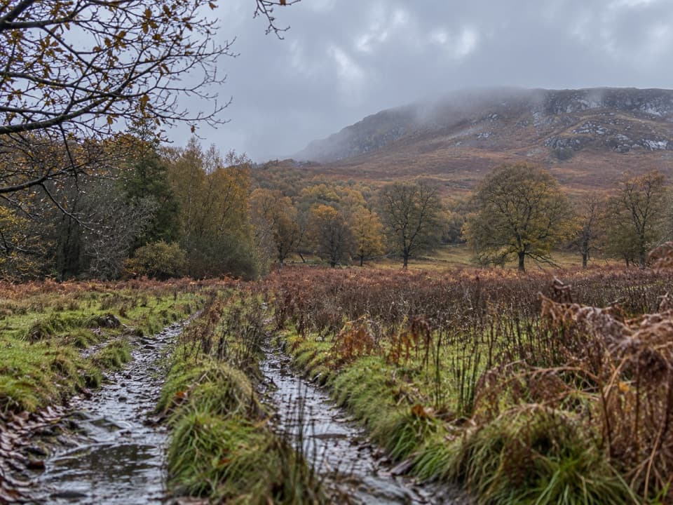 ModerateAllt Mhoraich Circuit5.6 km · 2.5 hr · 6.9 km awayA rough moorland loop where the track fades beneath the crags.
 ChallengingA’ Mharconaich and Geal Chàrn Circuit11.6 km · 5.5 hr · 7.9 km awayTwo Munros, a high saddle, and a Loch Ericht view
 ModerateGlentruim Forest Loop2.9 km · 1.5 hr · 7.9 km awayA blue-waymarked forest loop past the Centre of Scotland Stone.
 ModerateGlentruim Forest Viewpoint Walk2.1 km · 1 hr · 8 km awayA brief, steep climb to a broad Badenoch panorama.
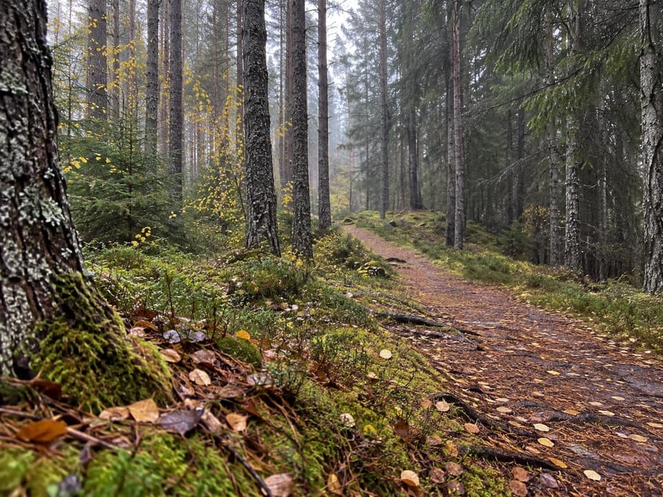 ModerateSpruce and Squirrel Trail, Laggan2.2 km · 45 min · 8.3 km awayFollow red waymarks and look for pine cones nibbled by squirrels.
 Sight · 1.9 km awayDalwhinnie DistilleryWhisky tours and tastings at a Highland distillery 355 metres up.
 Sight · 8.3 km awayLaggan WolftraxOver 20 forest miles, from beginner greens to one unforgiving black.
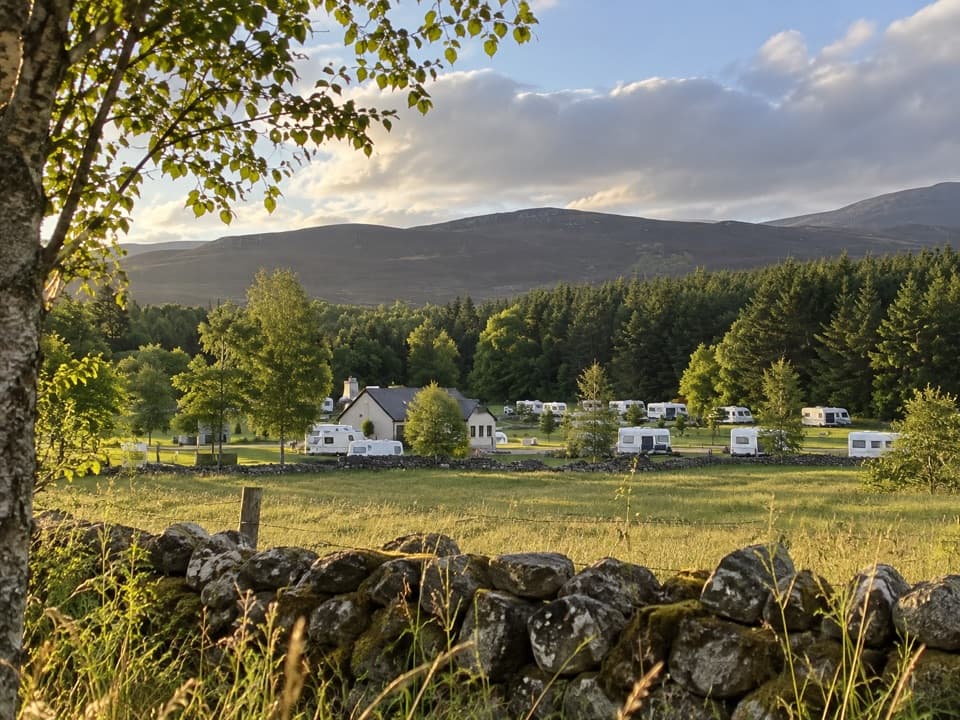 Campground · 9.1 km awayInvernahavon Caravan ParkRoomy pitches, hot showers and wooded Highland views.
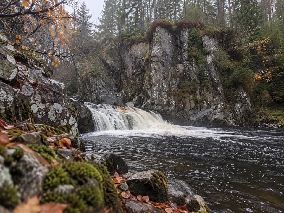 Sight · 9.4 km awayPattack FallsShort woodland walk to cascades in a rocky gorge.
 Sight · 13.6 km awayClan Macpherson MuseumClan stories, Jacobite objects and music in a village museum.
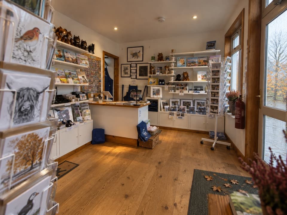 Visitor center · 13.9 km awayThe Wildcat CentrePick up a map and hunt Newtonmore’s 132 painted wildcats.
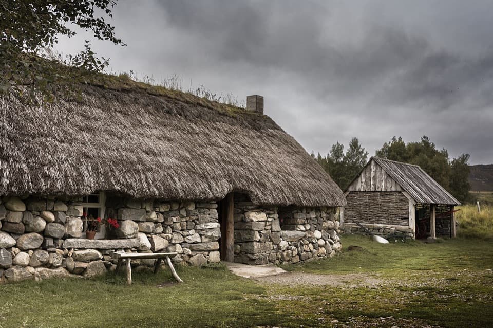 Sight · 15.1 km awayHighland Folk MuseumA reconstructed township and over 35 Highland buildings to explore.
Parkwolf’s Cairngorms ranking
The audio tour guide for the drive, plus offline maps, trails, and wildlife heatmaps for when the signal drops.





