Parking
The leaflet names Dalwhinnie Village Hall as the start and marks a car park by the railway station. Public-use details, capacity and fees were not specified.

Cairngorms National Park, SC
A short loop from Dalwhinnie to the head of Loch Ericht.
Overview
Map & elevation
Plan your hike

The highest, rockiest slopes around here are a summer buffet for grizzly bears.
Cairngorms Tour Guide
Parkwolf is a GPS audio tour guide for Cairngorms National Park. As you drive, it chimes in with what’s ahead: hidden gems, upcoming stops, history, geology, and wildlife, right through your car’s speakers.
See the Cairngorms audio tourRecorded for this trailhead
Loch Ericht from Dalwhinnie Village Hall“You're nearing Dalwhinnie Village Hall, the start of a short walk to Loch Ericht.”
Plays as you drive up to this trailhead in the Parkwolf Cairngorms Tour Guide.
More stories near here in the app
“Fantastic app with many points of information… It’s great to just turn on while you’re driving and it gives you an audio tour of the national Park. We love it!!!!”


Trail guide
This is a 1.5-mile loop from Dalwhinnie Village Hall, usually 30–45 minutes. It starts on village pavement, then follows broad estate tracks with gentle gradients to the northern head of Loch Ericht before returning by Ben Alder Cottages and the village's eastern road. The main reward is water, the dam and mountain slopes in a compact outing; this is a gentle walk rather than a hill climb.
The open, lochside stretch is the most memorable part. The pale lodge known as The Sheiling sits across the water, with forested slopes and higher ridges behind it. Near the dam, the water and concrete wall give the route a more defined landmark. The dam and mountain backdrop make the strongest photo stop.
Dalwhinnie sits at 351 metres and claims to be the highest village in the Scottish Highlands. Its Gaelic name has several possible readings, including “meadow of the meeting place.” Two drovers' routes met here, and cattle were rested and watered by the loch before the difficult crossing of Drumochter Pass.
Start at Dalwhinnie Village Hall. Expect pavement through the village before the wider estate tracks; the gradients are gentle. A car park is marked near the railway station, but its public-use details, capacity and fees are not given. The mapped loop crosses a railway line: use designated crossing points only and follow railway signs.
Wildlife
 159 sightingsRed DeerMost seen around 7 AMSighting map
 63 sightingsReindeerMost seen around 6 PMSighting map
 102 sightingsOspreyMost seen around 5 PMSighting map
 37 sightingsBlack GrouseMost seen around 4 AMSighting map
 72 sightingsRed GrouseMost seen around 6 PMSighting map
 82 sightingsPine MartenMost seen around 9 PMSighting map
Sighting maps show where each species has been reported across Cairngorms. Wildlife moves, so no sighting is guaranteed.
Keep exploring
 ModerateMeall Chuaich from Layby 9414.1 km · 4.5 hr · 2.3 km awayA long track walk earns a broad Munro summit panorama.
 ChallengingCàrn na Caim and A’ Bhuidheanach Bheag19 km · 6 hr · 3 km awayTwo Munros, fence posts, boggy dips and miles of open plateau.
 ChallengingA’ Mharconaich and Geal Chàrn Circuit11.6 km · 5.5 hr · 5.8 km awayTwo Munros, a high saddle, and a Loch Ericht view
 ModerateFalls of Truim Trail1 km · 30 min · 8.5 km awaySeveral close looks at the River Truim's rocky rapids.
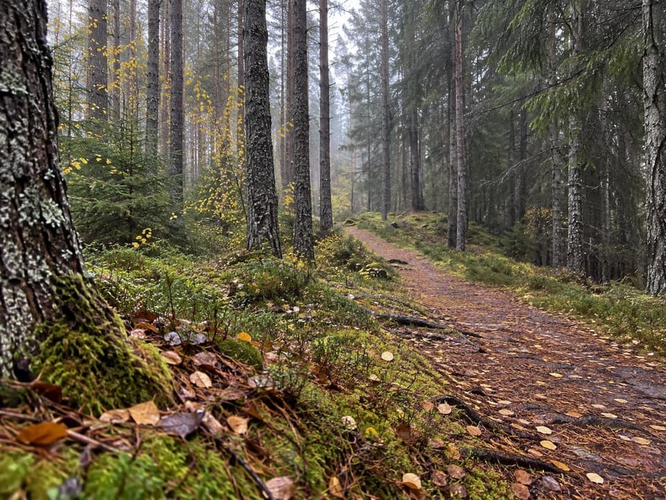 ModerateSpruce and Squirrel Trail, Laggan2.2 km · 45 min · 8.6 km awayFollow red waymarks and look for pine cones nibbled by squirrels.
 ModerateDun da Lamh Fort Trail7.2 km · 3 hr · 8.6 km awayClimb Laggan woodland to an Iron Age fort with wide Highland views.
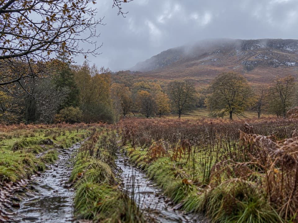 ModerateAllt Mhoraich Circuit5.6 km · 2.5 hr · 8.8 km awayA rough moorland loop where the track fades beneath the crags.
 ModerateDruim an Aird Township Trail4.4 km · 1.8 hr · 8.9 km awayFollow yellow markers through woodland to a ruined township.
 Sight · 0.5 km awayDalwhinnie DistilleryWhisky tours and tastings at a Highland distillery 355 metres up.
 Sight · 8.6 km awayLaggan WolftraxOver 20 forest miles, from beginner greens to one unforgiving black.
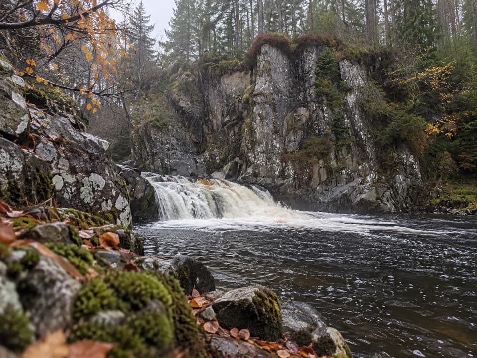 Sight · 8.9 km awayPattack FallsShort woodland walk to cascades in a rocky gorge.
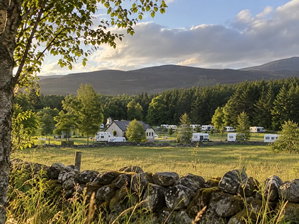 Campground · 11.3 km awayInvernahavon Caravan ParkRoomy pitches, hot showers and wooded Highland views.
 Sight · 15.9 km awayClan Macpherson MuseumClan stories, Jacobite objects and music in a village museum.
Parkwolf’s Cairngorms ranking

The audio tour guide for the drive, plus offline maps, trails, and wildlife heatmaps for when the signal drops.





