Parking
Layby 87 on the west side of the A9, about 750 m south of the Dalwhinnie/A889 junction. Cross the A9 carefully and walk north along the verge to the gate and vehicle track. It is roadside parking; no other start lot was identified.

Cairngorms National Park, SC
Two Munros, fence posts, boggy dips and miles of open plateau.
Overview
Map & elevation
Plan your hike

The highest, rockiest slopes around here are a summer buffet for grizzly bears.
Cairngorms Tour Guide
Parkwolf is a GPS audio tour guide for Cairngorms National Park. As you drive, it chimes in with what’s ahead: hidden gems, upcoming stops, history, geology, and wildlife, right through your car’s speakers.
See the Cairngorms audio tourRecorded for this trailhead
Layby 87 and Dalwhinnie’s Two Plateau Munros“Up ahead is Layby eighty-seven, the start for Càrn na Caim and A' Bhuidheanach Bheag. Allow five to six hours for the nearly twelve-mile return walk across two Munro tops, with broad plateau views.”
Plays as you drive up to this trailhead in the Parkwolf Cairngorms Tour Guide.
More stories near here in the app
“Fantastic app with many points of information… It’s great to just turn on while you’re driving and it gives you an audio tour of the national Park. We love it!!!!”


Trail guide
This is a 19 km (11.8 mi) out-and-back from Layby 87 on the A9 over Càrn na Caim (941 m) and A’ Bhuidheanach Bheag (936 m), with about 824 m of climbing. Allow five to six hours. You get two Munro tops in one long high-level walk: an easy vehicle track for the first climb, then a broad, wet and often faintly tracked plateau. I’d save it for a day with enough visibility to enjoy the views and follow the subtle turns.
Cross the A9 from the layby and walk north along the verge to the gate and vehicle track. The track climbs between gullies, passes under the pylons and reaches a shallow old quarry with a few quartz blocks. At the plateau, take the left fork onto the northeast ridge. Fence posts help keep the line toward Càrn na Caim’s small cairn. After that summit, retrace to the plateau junction and continue south across the dips to A’ Bhuidheanach Bheag’s trig point. The way back retraces the southward leg and returns by the track near the quarry.
The early track is the easiest part. Beyond the quarry, the route crosses shallow bealachs and boggy depressions; they’re especially wet when the ground isn’t frozen. Paths fade across the open plateau, and the fence line is a useful reference rather than a marked walkway. In mist, it’s easy to drift off the intended line. The final short approach to A’ Bhuidheanach Bheag leaves the mapped path for open ground to the trig point.
Càrn na Caim sits on the edge of the plateau. In clear weather its little cairn looks out toward Meall Chuaich, across Badenoch and the Monadhliath, east to the Cairngorms and west to other ranges. The high plateau is broad and understated rather than a series of dramatic crags; when cloud comes down, there are fewer landmarks to break it up. Dotterel and ptarmigan are among the birds associated with these tops, though a sighting is a bonus. At the first cairn, include some of the ridge in the foreground to give the wide view a sense of scale.
Wildlife
 159 sightingsRed DeerMost seen around 7 AMSighting map
 63 sightingsReindeerMost seen around 6 PMSighting map
 102 sightingsOspreyMost seen around 5 PMSighting map
 37 sightingsBlack GrouseMost seen around 4 AMSighting map
 72 sightingsRed GrouseMost seen around 6 PMSighting map
 82 sightingsPine MartenMost seen around 9 PMSighting map
Sighting maps show where each species has been reported across Cairngorms. Wildlife moves, so no sighting is guaranteed.
Keep exploring
 EasyLoch Ericht Walk2.4 km · 38 min · 3 km awayA short loop from Dalwhinnie to the head of Loch Ericht.
 ChallengingA’ Mharconaich and Geal Chàrn Circuit11.6 km · 5.5 hr · 3 km awayTwo Munros, a high saddle, and a Loch Ericht view
 ModerateMeall Chuaich from Layby 9414.1 km · 4.5 hr · 4.9 km awayA long track walk earns a broad Munro summit panorama.
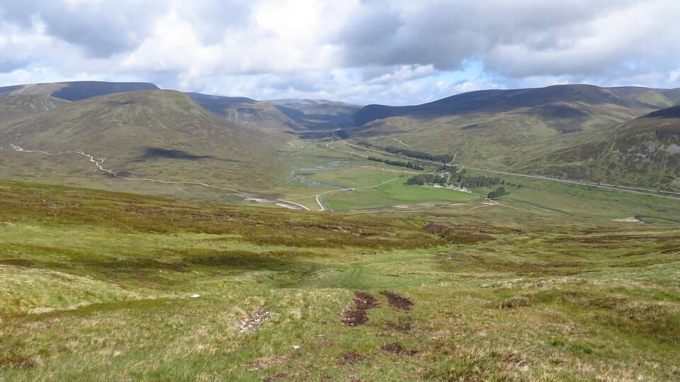 ModerateMeall na Leitreach from Dalnaspidal8.1 km · 3 hr · 8.7 km awayA rough hill track to a broad summit above Drumochter Pass
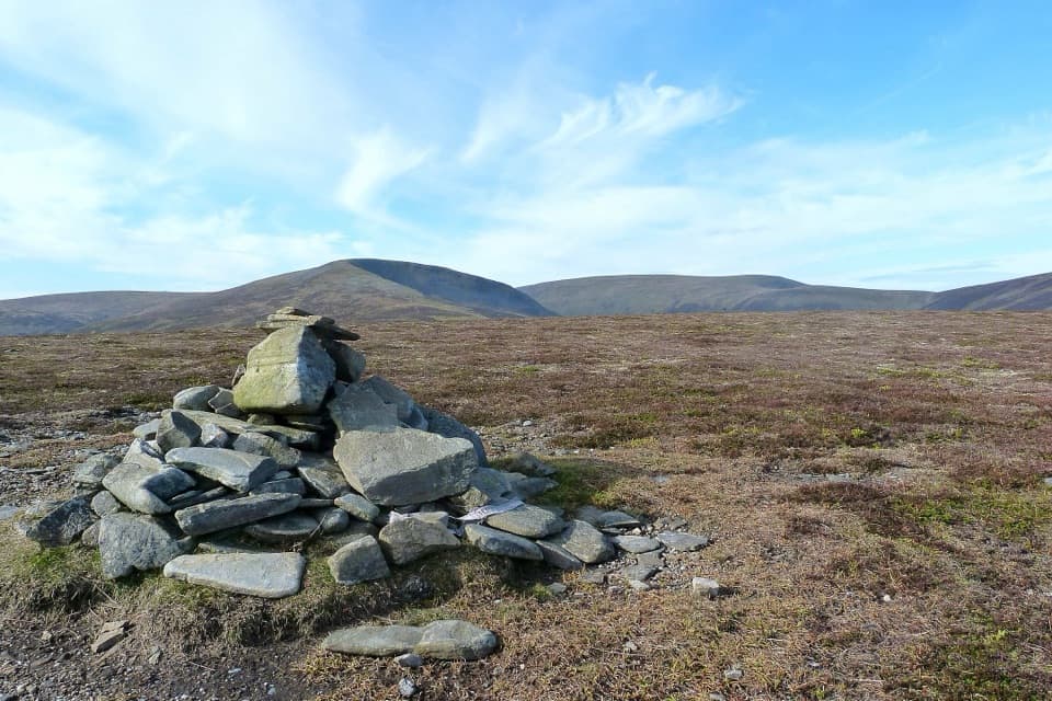 ModerateSow of Atholl from Dalnaspidal6.8 km · 2.8 hr · 8.7 km awayA rough climb to a broad view over Drumochter Pass.
 ModerateDruim an Aird Township Trail4.4 km · 1.8 hr · 11 km awayFollow yellow markers through woodland to a ruined township.
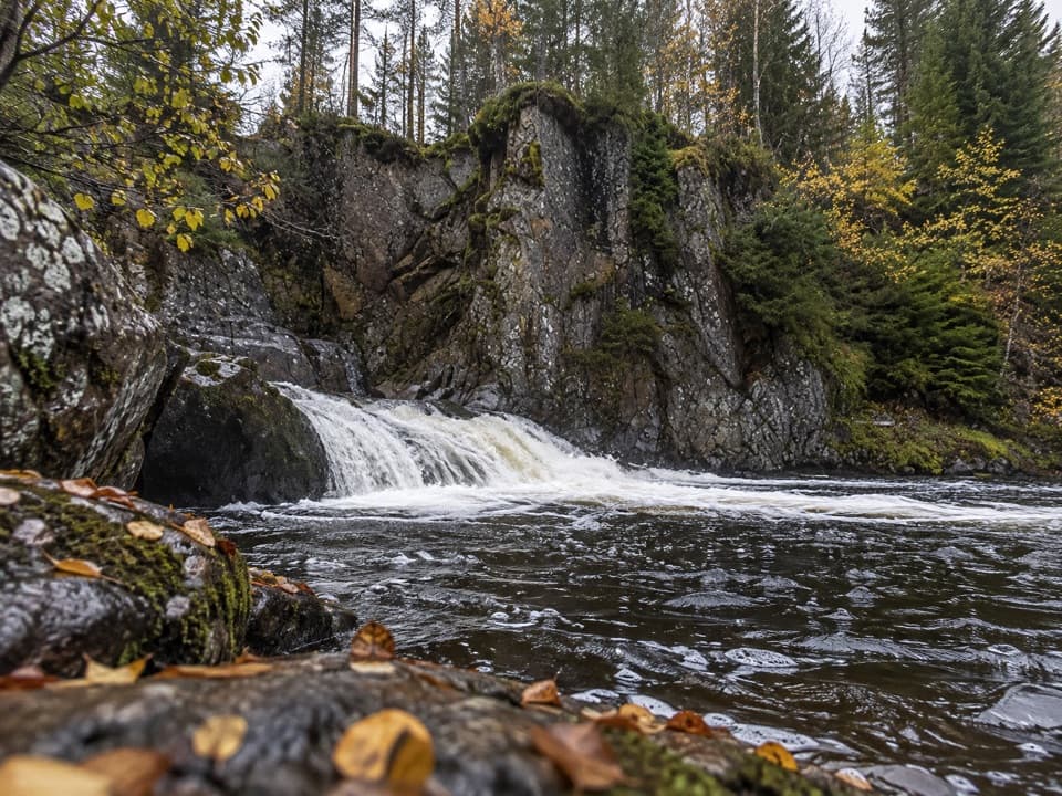 EasyLower Pattack Falls Stroll0.2 km · 15 min · 11 km awayA short woodland path to the Pattack’s lower cascade.
 ModerateFalls of Truim Trail1 km · 30 min · 11.1 km awaySeveral close looks at the River Truim's rocky rapids.
 Sight · 3.5 km awayDalwhinnie DistilleryWhisky tours and tastings at a Highland distillery 355 metres up.
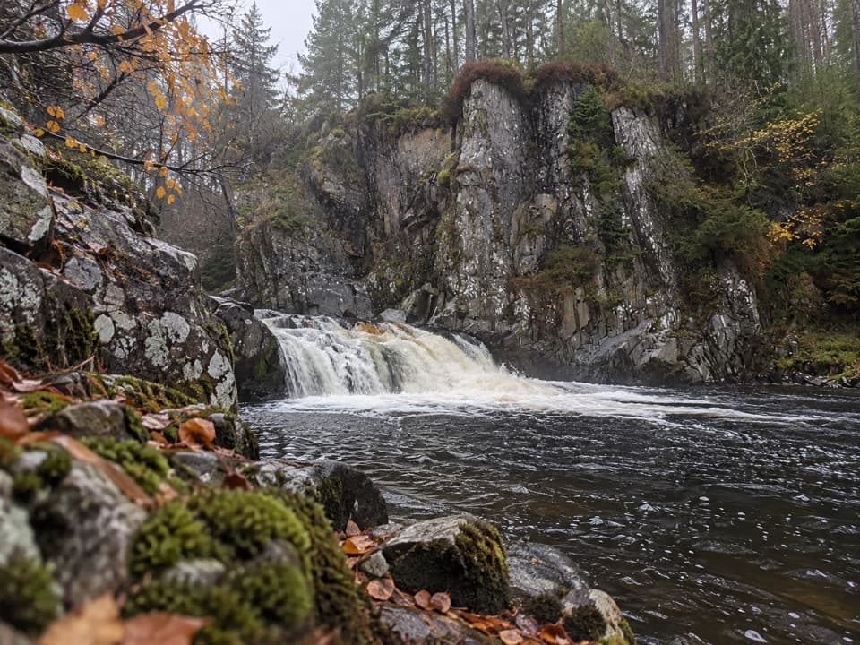 Sight · 11 km awayPattack FallsShort woodland walk to cascades in a rocky gorge.
 Sight · 11.3 km awayLaggan WolftraxOver 20 forest miles, from beginner greens to one unforgiving black.
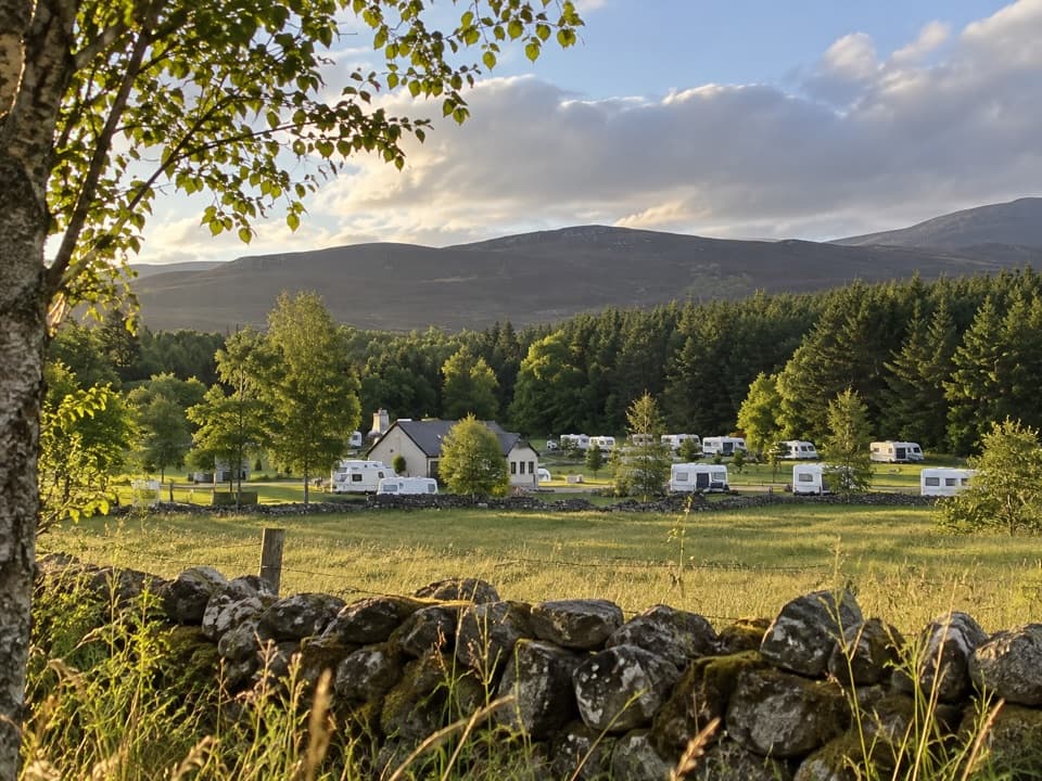 Campground · 14 km awayInvernahavon Caravan ParkRoomy pitches, hot showers and wooded Highland views.
Parkwolf’s Cairngorms ranking

The audio tour guide for the drive, plus offline maps, trails, and wildlife heatmaps for when the signal drops.





