Parking
Start at Tomintoul public car park on Tomnabat Lane by the Square; the route returns to this access.
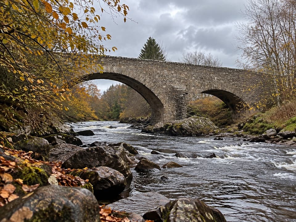
Cairngorms National Park, SC
A steep, rough climb pays off at a 1754 stone bridge.
Overview
Map & elevation
Plan your hike

The highest, rockiest slopes around here are a summer buffet for grizzly bears.
Cairngorms Tour Guide
Parkwolf is a GPS audio tour guide for Cairngorms National Park. As you drive, it chimes in with what’s ahead: hidden gems, upcoming stops, history, geology, and wildlife, right through your car’s speakers.
See the Cairngorms audio tourRecorded for this trailhead
Tomintoul Square, Museum and Whisky Castle“Up ahead is Tomintoul's village square, where the Discovery Centre makes a useful first stop for local stories and advice.”
Plays as you drive up to this trailhead in the Parkwolf Cairngorms Tour Guide.
More stories near here in the app
“Fantastic app with many points of information… It’s great to just turn on while you’re driving and it gives you an audio tour of the national Park. We love it!!!!”


Trail guide
This 3¾-mile (6 km) out-and-back starts at Tomintoul’s public car park and follows village pavements, then tracks and rough grass paths through farmland and woodland to the old Bridge of Avon. Allow about two hours and return the same way. The bridge is a satisfying riverside destination, but the uneven climb makes this a hill walk rather than a flat stroll.
Leave Tomintoul on the village route, then follow the track and grassy path toward Campdalmore and the Victor Gaffney viewpoint. The view opens back toward the village and the Ben Avon tops. Expect narrow, undulating ground and one long, steep rough climb; the grass can be muddy, and short sections have steps. The final approach includes a brief road stretch and crossing.
The old stone Bridge of Avon was built in 1754 as part of a military road across the River Avon. It makes the natural turnaround, with a picnic spot beside the water. The viewpoint is the best place to frame the river with Tomintoul and the distant high tops; at the bridge, include an arch and the river so the photo shows more than the parapet.
This full distance includes the Tomintoul village approach; starting at Campdalmore shortens the walk and changes the mileage. Public toilets are available near Tomintoul Square, but there are none along the route. Dogs are allowed: keep them close and use a lead where signs ask, especially around livestock and wildlife.
Wildlife
 159 sightingsRed DeerMost seen around 7 AMSighting map
 63 sightingsReindeerMost seen around 6 PMSighting map
 102 sightingsOspreyMost seen around 5 PMSighting map
 37 sightingsBlack GrouseMost seen around 4 AMSighting map
 72 sightingsRed GrouseMost seen around 6 PMSighting map
 82 sightingsPine MartenMost seen around 9 PMSighting map
Sighting maps show where each species has been reported across Cairngorms. Wildlife moves, so no sighting is guaranteed.
Keep exploring
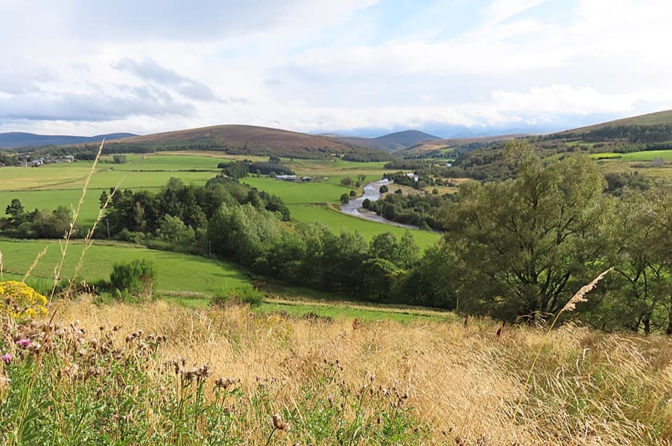 ModerateTomintoul Circular Trail4.3 km · 1.5 hr · 0.1 km awayA village loop linking a bird hide, birchwood and Glen Avon views.
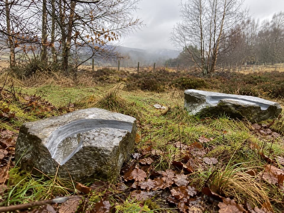 EasyMindfulness Trail, Tomintoul0.5 km · 15 min · 0.5 km awayA short, easy woodland loop with carved stones about the landscape.
 ModerateOld Military Road Walk, Tomintoul4 km · 1.5 hr · 0.5 km awayA rough old road climbs to views across Conglass Valley
 EasyTomintoul Country Trail5 km · 2.5 hr · 1.1 km awayA gentle Glen Avon circuit pairs Queen’s View with riverside tracks.
 ChallengingBen Avon via Strath Avon40.6 km · 10.5 hr · 1.1 km awayA 25-mile day to granite tors and a pathless summit plateau.
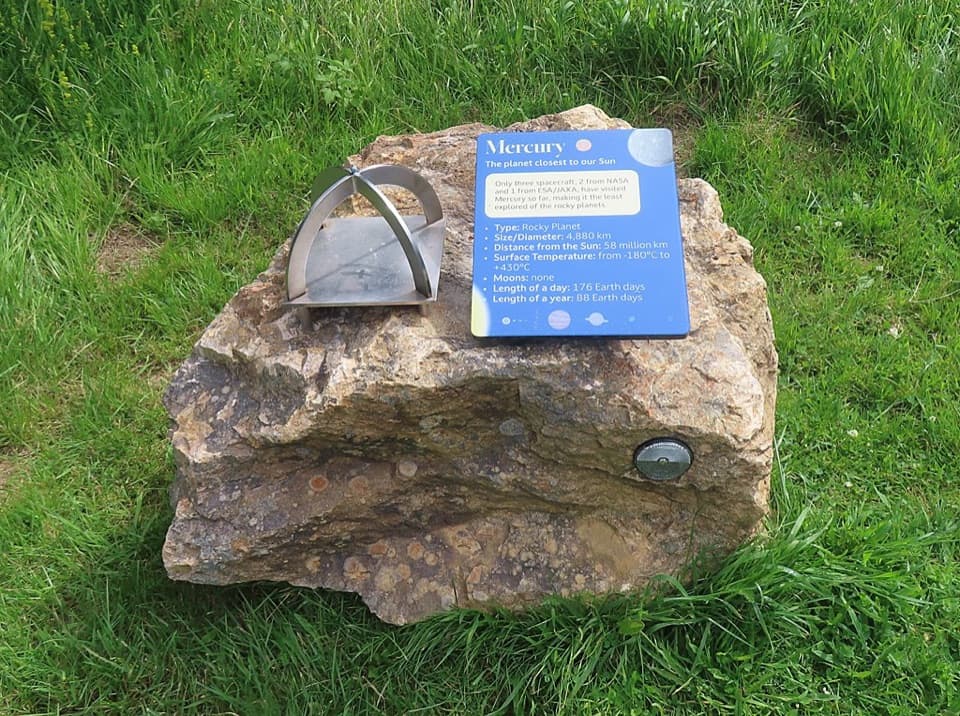 ModerateGlenmulliach Viewpoint and Planet Trail5.6 km · 2 hr · 3.1 km awayWalk the planets, then climb to a viewpoint above Tomintoul.
 ModerateGlen Brown Circuit7.2 km · 2.5 hr · 4.2 km awayOld tracks, Strath Avon views and a rough Glen Brown return.
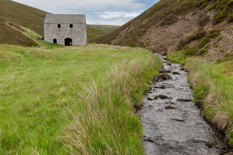 EasyLecht Mine Trail1.6 km · 45 min · 7.4 km awayA short valley walk ends at a restored Highland crushing mill.
 Store · At the trailheadThe Whisky CastleMore than 600 malts in a shop dating to 1904.
 Visitor center · 0.1 km awayTomintoul & Glenlivet Discovery Centre & MuseumA village museum with local stories and a virtual dark-sky trip.
 Visitor center · 0.5 km awayGlenlivet Estate Visitor CentreA useful trail-map stop at Tomintoul’s far end.
 Sight · 1.5 km awayStill ViewpointStep into a mirrored frame above the River Avon.
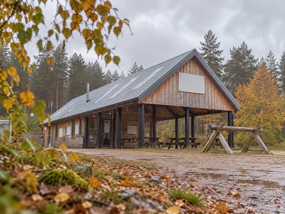 Sight · 4.1 km awayBike GlenlivetFlowing mountain-bike trails, café and zip wire reward a longer stop.Sight · 7.4 km awayLecht MineA lone crushing mill rewards a short, atmospheric hill walk.
 Sight · 7.8 km awayScalan SeminaryA hidden Catholic seminary reached by a rough Glenlivet farm track.
 Sight · 9.7 km awayLecht Ski CentreGood family skiing and lessons on a high Highland pass.
Parkwolf’s Cairngorms ranking

The audio tour guide for the drive, plus offline maps, trails, and wildlife heatmaps for when the signal drops.





