Parking
Use the parking area off the minor road signed for Delnabo, taking the left fork before the road drops steeply. The track at the far end of the parking area starts the loop. Walking from Tomintoul adds about 1 km along the road each way.

Cairngorms National Park, SC
A gentle Glen Avon circuit pairs Queen’s View with riverside tracks.
Overview
This is a 3.1-mile loop from the parking area southwest of Tomintoul, with a short signed out-and-back spur to Queen’s View. Allow about 2½ hours. The route links hillside tracks above Keppoch, a stream crossing, sparse birch, farm roads and the River Avon; the Glen Avon view is its main reward. A separate published figure is 4¼ miles. That may include the 1 km road approach from Tomintoul each way, but the starting convention is unclear, so choose your access before comparing distances.
Map & elevation
Plan your hike

The highest, rockiest slopes around here are a summer buffet for grizzly bears.
Cairngorms Tour Guide
Parkwolf is a GPS audio tour guide for Cairngorms National Park. As you drive, it chimes in with what’s ahead: hidden gems, upcoming stops, history, geology, and wildlife, right through your car’s speakers.
See the Cairngorms audio tourRecorded for this trailhead
Queen’s View over Glen Avon“You're approaching Queen's View, where a short stepped spur overlooks Glen Avon. Queen Victoria is said to have stopped here on horseback in eighteen sixty.”
Plays as you drive up to this trailhead in the Parkwolf Cairngorms Tour Guide.
More stories near here in the app
“Fantastic app with many points of information… It’s great to just turn on while you’re driving and it gives you an audio tour of the national Park. We love it!!!!”


Trail guide
From the car park, follow the track beyond the gate and take the signed stepped path left to Queen’s View. Return to the main track and continue above Keppoch along the glen. Cross a stream bridge, then descend through sparse birch to a tarmac track. Turn toward the River Avon, cross its bridge and follow farm tracks past a house and barn, another house and a cattle grid. At Delnabo the road bends sharply beside the river; cross the next bridge, turn right and climb steeply back to the parking area.
The walk is graded easy and has only about 40 m of reported ascent, but it is not a surfaced path throughout. Expect a mix of tracks, minor road and potentially boggy ground; the final climb back to the car park is the steepest part. Take care on the stepped viewpoint spur and at both bridge crossings.
The signed detour reaches an open outlook over Glen Avon, with the river valley, wooded slopes and distant hills in view. This is the route’s defining stop and its best place to frame a photograph. Queen Victoria is associated with stopping here on a horseback journey in 1860.
The track looks across the glen to Keppoch and the heather moor behind it. In late summer the heather can turn the slopes purple; managed grouse moorland is visible as striped patches with little taller vegetation. On a clear day, look up the glen for the distant tors of Ben Avon.
This route passes through farmland and uses minor roads. Follow local signs, leave gates as you find them and keep dogs close around livestock, using a lead where requested. Do not take a dog into a field with young livestock.
Wildlife
 159 sightingsRed DeerMost seen around 7 AMSighting map
 63 sightingsReindeerMost seen around 6 PMSighting map
 102 sightingsOspreyMost seen around 5 PMSighting map
 37 sightingsBlack GrouseMost seen around 4 AMSighting map
 72 sightingsRed GrouseMost seen around 6 PMSighting map
 82 sightingsPine MartenMost seen around 9 PMSighting map
Sighting maps show where each species has been reported across Cairngorms. Wildlife moves, so no sighting is guaranteed.
Keep exploring
 ChallengingBen Avon via Strath Avon40.6 km · 10.5 hr · At the trailheadA 25-mile day to granite tors and a pathless summit plateau.
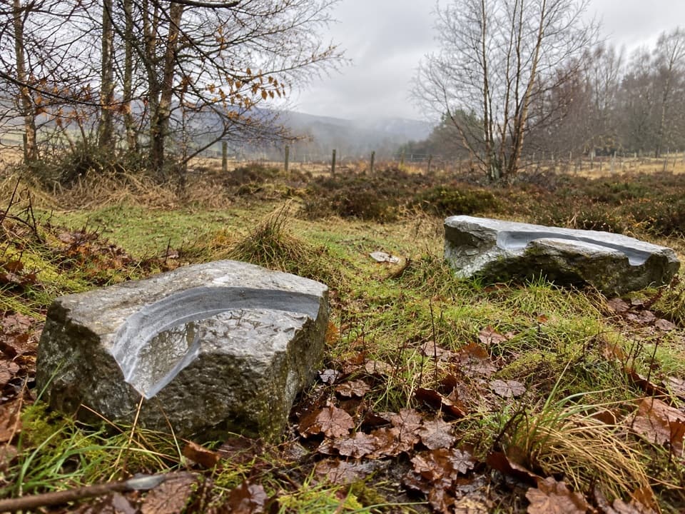 EasyMindfulness Trail, Tomintoul0.5 km · 15 min · 1 km awayA short, easy woodland loop with carved stones about the landscape.
 ModerateOld Military Road Walk, Tomintoul4 km · 1.5 hr · 1 km awayA rough old road climbs to views across Conglass Valley
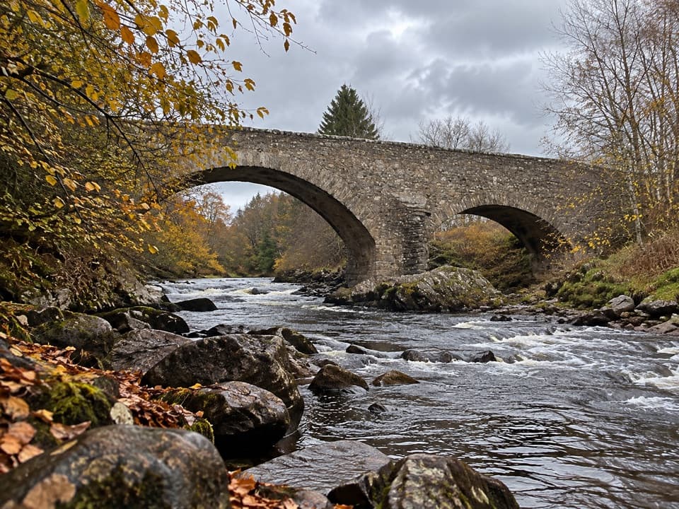 ModerateBridge of Avon Walk6 km · 2 hr · 1.1 km awayA steep, rough climb pays off at a 1754 stone bridge.
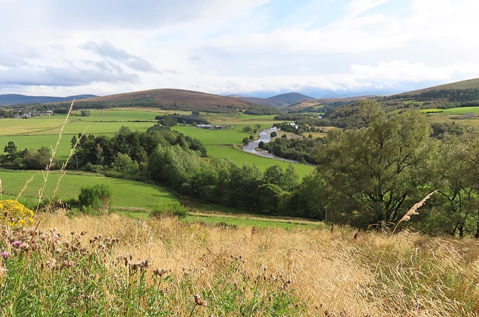 ModerateTomintoul Circular Trail4.3 km · 1.5 hr · 1.2 km awayA village loop linking a bird hide, birchwood and Glen Avon views.
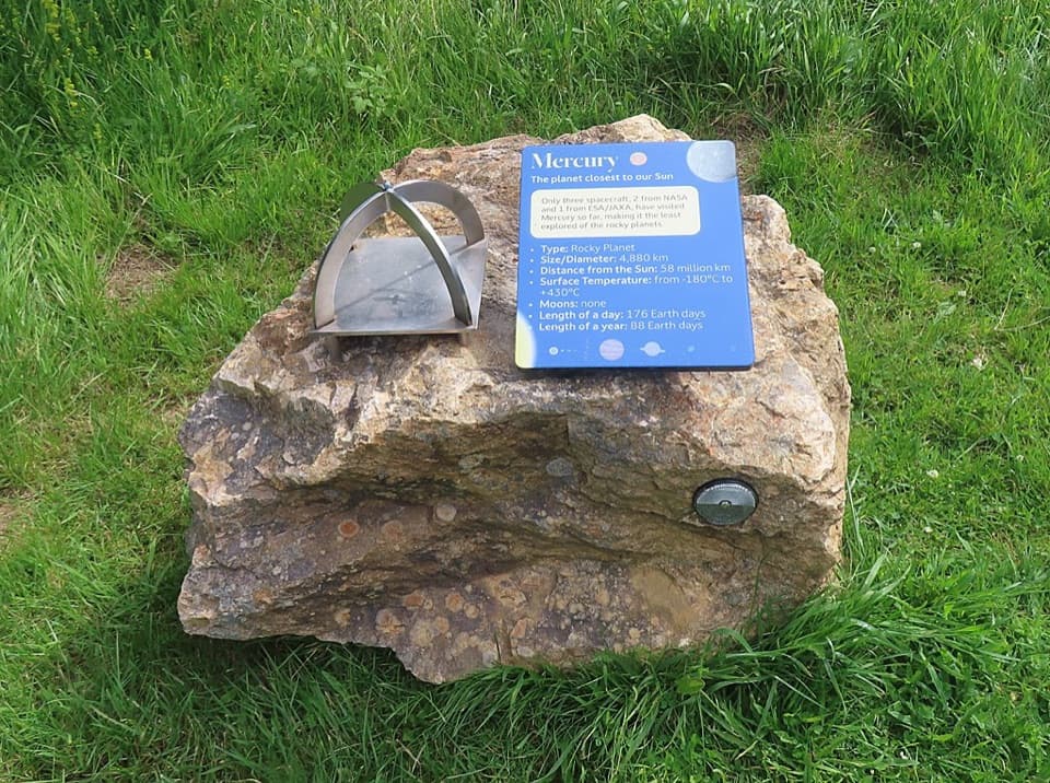 ModerateGlenmulliach Viewpoint and Planet Trail5.6 km · 2 hr · 3 km awayWalk the planets, then climb to a viewpoint above Tomintoul.
 ModerateGlen Brown Circuit7.2 km · 2.5 hr · 4.5 km awayOld tracks, Strath Avon views and a rough Glen Brown return.
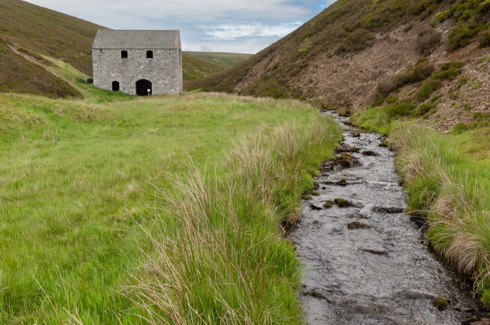 EasyLecht Mine Trail1.6 km · 45 min · 7.4 km awayA short valley walk ends at a restored Highland crushing mill.
 Visitor center · 1 km awayGlenlivet Estate Visitor CentreA useful trail-map stop at Tomintoul’s far end.
 Store · 1.1 km awayThe Whisky CastleMore than 600 malts in a shop dating to 1904.
 Visitor center · 1.2 km awayTomintoul & Glenlivet Discovery Centre & MuseumA village museum with local stories and a virtual dark-sky trip.
 Sight · 2 km awayStill ViewpointStep into a mirrored frame above the River Avon.
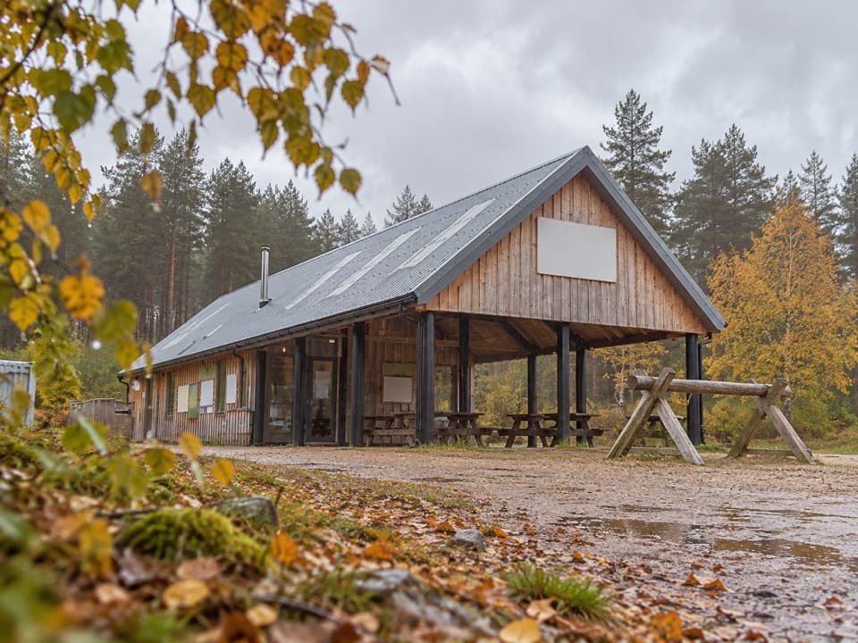 Sight · 5 km awayBike GlenlivetFlowing mountain-bike trails, café and zip wire reward a longer stop.Sight · 7.5 km awayLecht MineA lone crushing mill rewards a short, atmospheric hill walk.
 Sight · 8.4 km awayScalan SeminaryA hidden Catholic seminary reached by a rough Glenlivet farm track.
 Sight · 9.5 km awayLecht Ski CentreGood family skiing and lessons on a high Highland pass.
Parkwolf’s Cairngorms ranking

The audio tour guide for the drive, plus offline maps, trails, and wildlife heatmaps for when the signal drops.





