Parking
Start at the car park by Glen Tanar Visitor Centre (Braeloine), beside Bridge of Tanar. The route ends in Tarfside, so arrange return transport. Parking fee and capacity were not verified.

Cairngorms National Park, SC
A high drove road from Glen Tanar to Tarfside.
Overview
Map & elevation
Plan your hike

The highest, rockiest slopes around here are a summer buffet for grizzly bears.
Cairngorms Tour Guide
Parkwolf is a GPS audio tour guide for Cairngorms National Park. As you drive, it chimes in with what’s ahead: hidden gems, upcoming stops, history, geology, and wildlife, right through your car’s speakers.
See the Cairngorms audio tourRecorded for this trailhead
Glen Tanar and Fairy Lochan“Glen Tanar Visitor Centre is coming up, in the former Braeloine Cottage. Park at Braeloine and cross the old arched bridge to reach its heritage displays and ranger advice.”
Plays as you drive up to this trailhead in the Parkwolf Cairngorms Tour Guide.
More stories near here in the app
“Fantastic app with many points of information… It’s great to just turn on while you’re driving and it gives you an audio tour of the national Park. We love it!!!!”


Trail guide
Firmounth is the old drove road between Bridge of Tanar in Glen Tanar and Tarfside in Glen Esk. The mapped line is 11.8 miles one way (about 19 km); the heritage-path description gives 18 km, while one walking-club crossing reports 21 km. Treat those figures as approximate, allow six to seven hours, and arrange your return from Tarfside before setting out. This is a full high-country walk, not a short forest circuit.
Starting by Glen Tanar Visitor Centre, the route passes St Lesmo’s Chapel and Knockie Viewpoint, crosses the Burn of Skinna, then climbs to Craigmahandle at 574 m. The forest gives way to open moorland as the track gains height. From Craigmahandle, the view south takes in the high ground ahead.
After a dip, the road climbs to St Colm’s Well, passes just west of Gannoch (731 m), then crosses Tampie (723 m). These are broad, exposed hills rather than a single sharp summit; the line keeps moving south across the moor. For a route photo, look back from Craigmahandle toward Gannoch to show the crossing you have ahead.
South of Tampie the Firmounth joins the Fungle Road, then descends past Shinfur and the Water of Tarf into Tarfside. Walking north, the Firmounth is the branch off the Fungle Road at the high moorland fork; southbound, follow the shared track down to Tarfside. Snow can make both old roads demanding in winter, so check conditions before choosing a date. Dogs are allowed; keep them close to heel, and on a short lead near livestock and ground-nesting birds. Toilets and drinking water are available at the Glen Tanar Visitor Centre at the starting end; food and services along the route or in Tarfside were not confirmed.
Wildlife
 159 sightingsRed DeerMost seen around 7 AMSighting map
 63 sightingsReindeerMost seen around 6 PMSighting map
 102 sightingsOspreyMost seen around 5 PMSighting map
 37 sightingsBlack GrouseMost seen around 4 AMSighting map
 72 sightingsRed GrouseMost seen around 6 PMSighting map
 82 sightingsPine MartenMost seen around 9 PMSighting map
Sighting maps show where each species has been reported across Cairngorms. Wildlife moves, so no sighting is guaranteed.
Keep exploring
 EasyJuniper Viewpoint Path, Glen Tanar0.6 km · 20 min · At the trailheadA quick, steep climb to a view across Glen Tanar.
 EasyOld Pines Path, Glen Tanar8.3 km · 2.3 hr · At the trailheadA gentle glen circuit linking old pines, a chapel and a viewpoint.
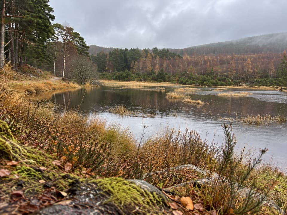 EasyFairy Lochan Path3.5 km · 1 hr · At the trailheadA gentle lochan loop with a chapel and summer dragonflies.
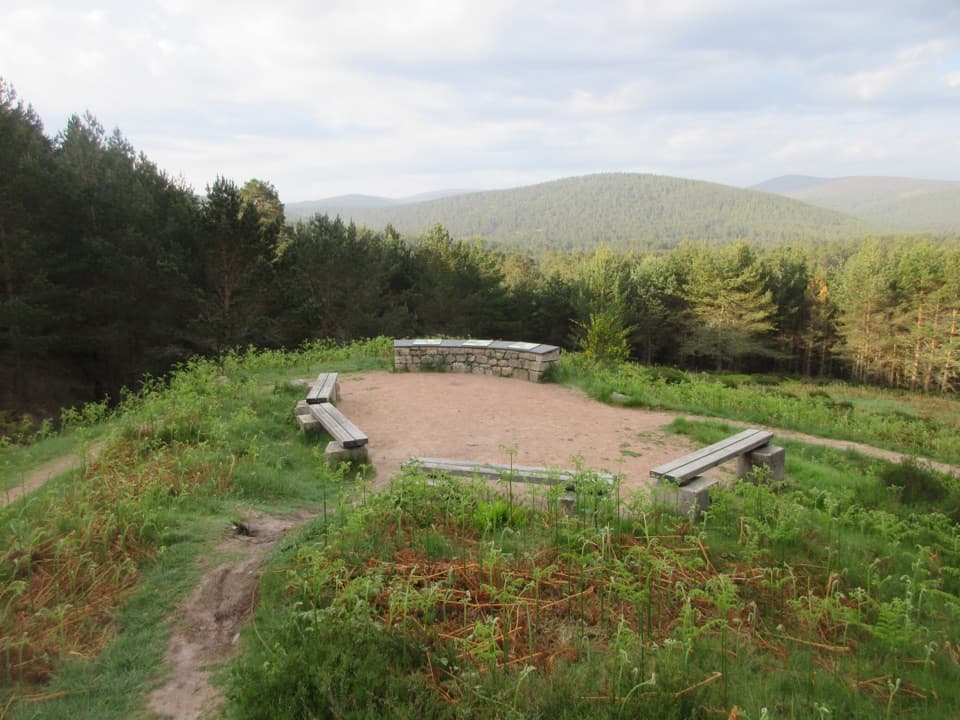 EasyKnockie Viewpoint Path3.2 km · 1 hr · At the trailheadA quick forest loop to a glen view and an old chapel.
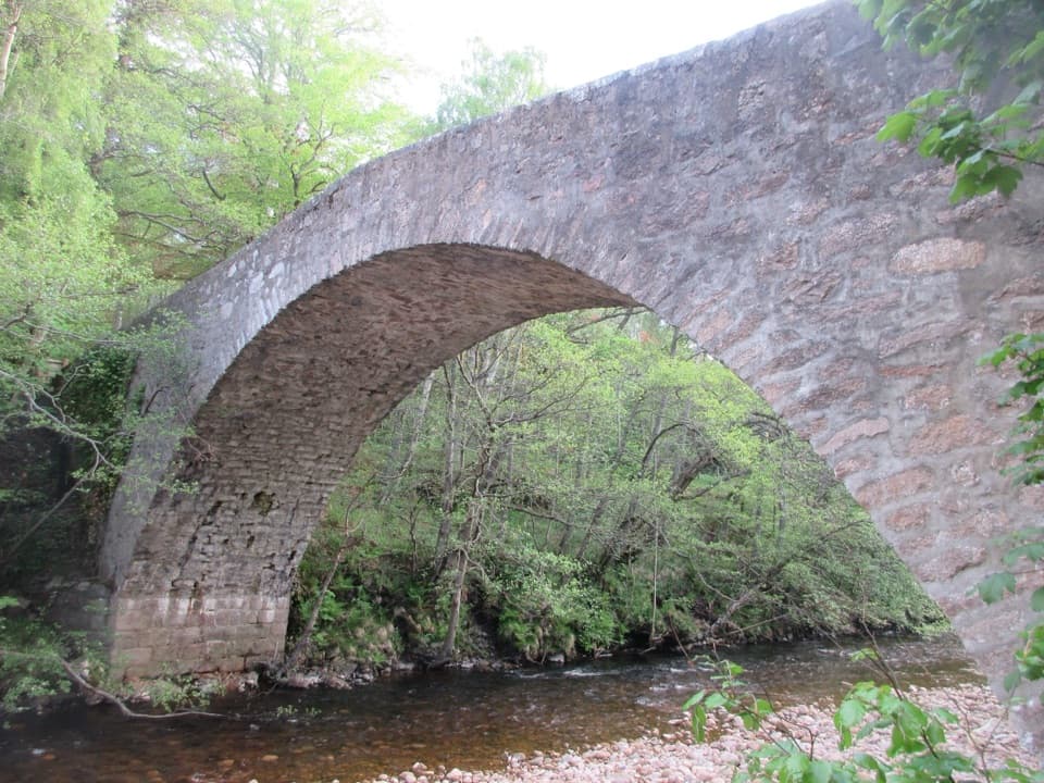 EasyRiverbank Path4.7 km · 1.3 hr · At the trailheadA gentle loop beside the Water of Tanar and a glacial moraine.
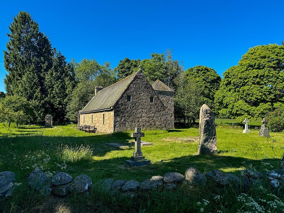 EasyChapel of St Lesmo Path1.8 km · 30 min · At the trailheadAn easy 1.1-mile loop through meadows to a historic chapel.
 ChallengingMount Keen via Glen Tanar29.3 km · 9 hr · 0.1 km awayA long pinewood approach to Scotland’s most easterly Munro.
 ModerateParkin’s Moss Trail3.2 km · 1.5 hr · 6 km awayA short loop takes you onto the raised bog by boardwalk.
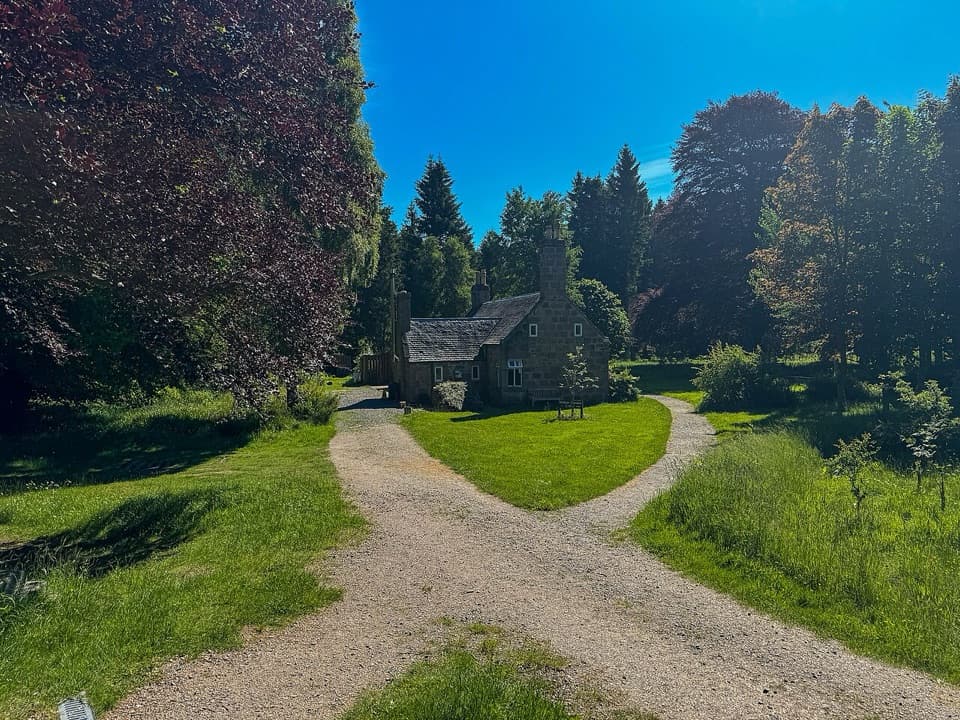 Visitor center · At the trailheadGlen Tanar Visitor CentreRanger advice and heritage displays make a useful start to glen walks.
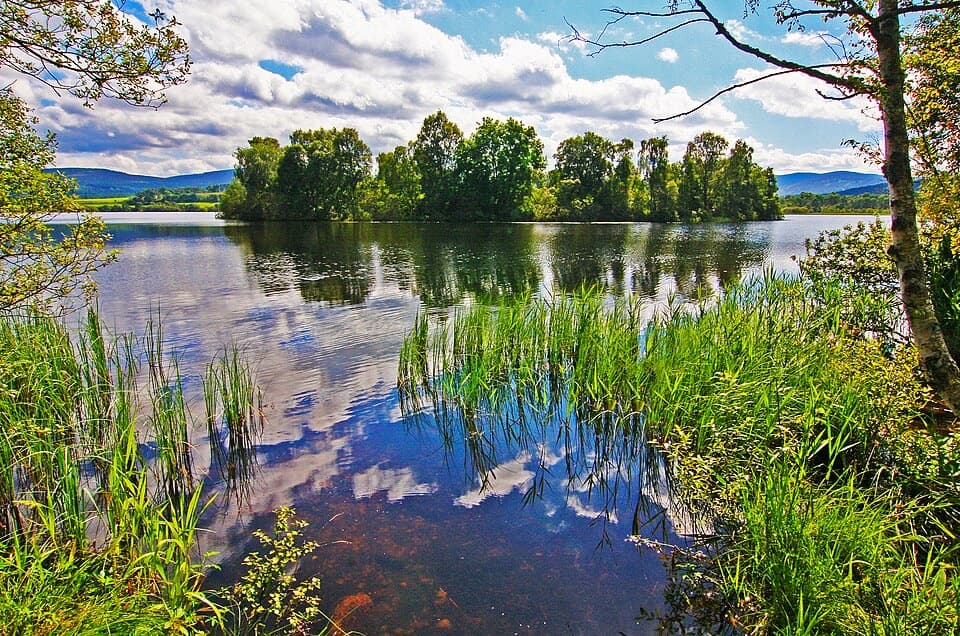 Sight · 4.3 km awayLoch KinordA lochside circuit links wooded islands and Pictish carving.
 Sight · 6 km awayCambus o’May Suspension BridgeCross the Dee on a white 1905 suspension bridge
 Sight · 6.3 km awayBurn O’VatA narrow crack opens into an 18-metre granite chamber with a waterfall.
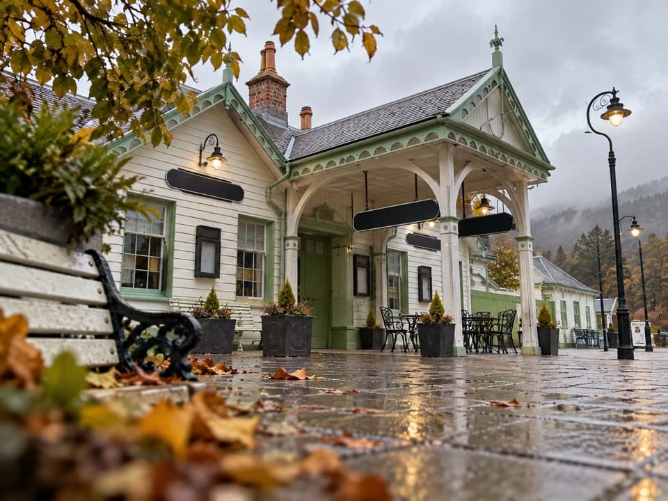 Sight · 11 km awayBallater Old Royal StationA replica royal carriage, station history and a café under one roof.
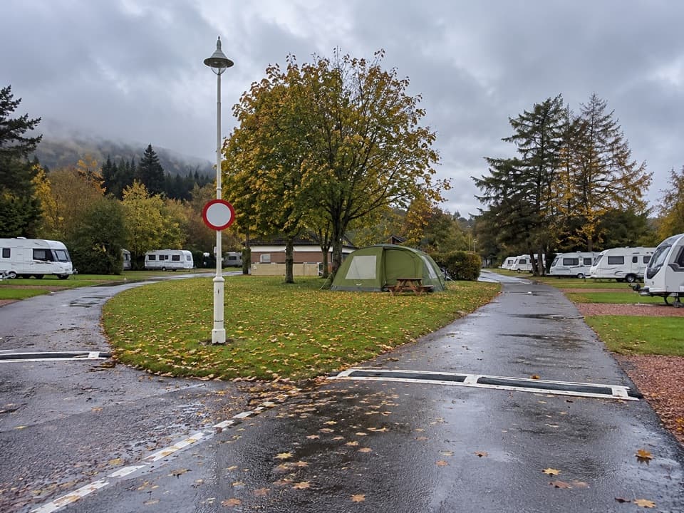 Campground · 11.1 km awayBallater Caravan ParkPitch beside the Dee, then walk into Ballater.
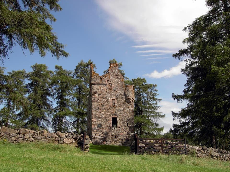 Sight · 12.8 km awayKnock CastleA roofless Gordon tower above Ballater, with a surviving spiral stair.
 Sight · 14.9 km awayQueen’s WellWalk 8 km to a stone crown built for Queen Victoria.
Parkwolf’s Cairngorms ranking

The audio tour guide for the drive, plus offline maps, trails, and wildlife heatmaps for when the signal drops.





