Parking
Use the Burn O’Vat Visitor Centre car park (nearest postcode AB34 5NB), then cross the B9119 to the purple-marked trail start.

Cairngorms National Park, SC
A short loop takes you onto the raised bog by boardwalk.
Overview
Map & elevation
Plan your hike

The highest, rockiest slopes around here are a summer buffet for grizzly bears.
Cairngorms Tour Guide
Parkwolf is a GPS audio tour guide for Cairngorms National Park. As you drive, it chimes in with what’s ahead: hidden gems, upcoming stops, history, geology, and wildlife, right through your car’s speakers.
See the Cairngorms audio tourRecorded for this trailhead
Burn O’Vat’s Hidden Chamber“Burn O'Vat is coming up, where a narrow crack opens into a round granite chamber with a stream running through it.”
Plays as you drive up to this trailhead in the Parkwolf Cairngorms Tour Guide.
More stories near here in the app
“Fantastic app with many points of information… It’s great to just turn on while you’re driving and it gives you an audio tour of the national Park. We love it!!!!”


Trail guide
Parkin’s Moss Trail is a 2-mile (3.3 km) loop from Burn O’Vat Visitor Centre, crossing the B9119 to wind through the reserve’s raised bog. A boardwalk carries you over the wettest ground; firm gravel and earth, narrow rooted stretches and several short, fairly steep slopes make up the rest. NatureScot allows about 1½ hours and describes the path as strenuous, a fair reflection of the uneven footing despite the short distance.
Start from the visitor-centre car park, cross the B9119 to reach the purple-marked circuit, and cross back after the loop. The short approach is included in the stored route in both directions. Take care where the boards give way to earth and gravel: roots and uneven patches break up the otherwise firm path, and the short climbs add effort.
Parkin’s Moss is a raised peat bog, with Sphagnum mosses and sundew growing in its saturated ground. The boardwalk keeps your feet on a durable path while bringing the bog close; keep to it to avoid trampling the soft peat. The site is also habitat for Northern Damselfly and Tree Pipit, and dragonflies are more likely to be active on warm days. For a photo, include a bend in the boardwalk with the wet peat beside it so the image shows how the path crosses the bog.
NatureScot’s review of the reserve plan for 2014–24 reports that scrub removal and dams made Parkin’s Moss wetter and improved its raised-bog condition. The plan identifies 6 hectares to maintain free of scrub encroachment. The boardwalk crosses a peatland NatureScot is actively managing.
The visitor-centre toilets are open year-round, and two wheelchair-accessible picnic benches sit nearby on a surfaced track; neither is on the loop. Dogs are allowed, with the reserve asking for a short lead or close control from April through July while birds breed and raise young on the lochs.
Wildlife
 159 sightingsRed DeerMost seen around 7 AMSighting map
 63 sightingsReindeerMost seen around 6 PMSighting map
 102 sightingsOspreyMost seen around 5 PMSighting map
 37 sightingsBlack GrouseMost seen around 4 AMSighting map
 72 sightingsRed GrouseMost seen around 6 PMSighting map
 82 sightingsPine MartenMost seen around 9 PMSighting map
Sighting maps show where each species has been reported across Cairngorms. Wildlife moves, so no sighting is guaranteed.
Keep exploring
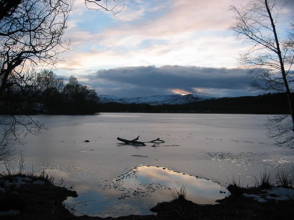 ModerateLoch Kinord Trail6.4 km · 2.5 hr · At the trailheadFour miles of loch shore, birch woodland and Pictish history.
 ModerateThe Vat Trail1 km · 45 min · At the trailheadA short woodland loop to a granite bowl and a loch view.
 EasyLittle Ord Trail5.5 km · 1.8 hr · At the trailheadA woodland loop past a Pictish cross and two abandoned villages.
 ModerateTwo Lochans Trail, Cambus o’May2.5 km · 1 hr · 3 km awayA forest loop past two glacial lochans and old quarry stone.ModerateLochside Trail, Cambus o’May0.8 km · 15 min · 3 km awayA short lochan loop with an esker and Dee valley views.ModeratePine Tree Trail, Cambus o’May4.3 km · 1.5 hr · 3 km awayA yellow-marked loop linking two lochans and three bridges.
 ChallengingMount Keen via Glen Tanar29.3 km · 9 hr · 5.9 km awayA long pinewood approach to Scotland’s most easterly Munro.
 EasyJuniper Viewpoint Path, Glen Tanar0.6 km · 20 min · 6 km awayA quick, steep climb to a view across Glen Tanar.Sight · 0.5 km awayBurn O’VatA narrow crack opens into an 18-metre granite chamber with a waterfall.
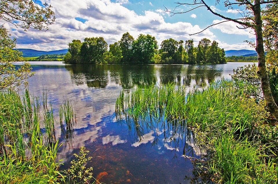 Sight · 1.7 km awayLoch KinordA lochside circuit links wooded islands and Pictish carving.
 Sight · 2.3 km awayCambus o’May Suspension BridgeCross the Dee on a white 1905 suspension bridge
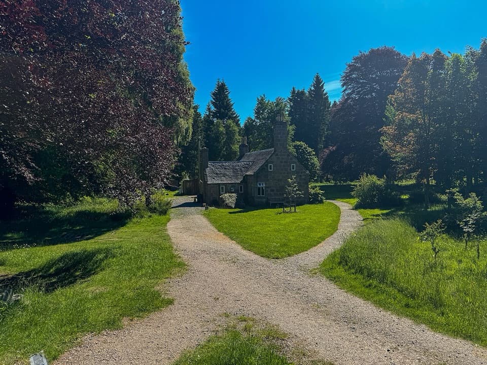 Visitor center · 6.1 km awayGlen Tanar Visitor CentreRanger advice and heritage displays make a useful start to glen walks.
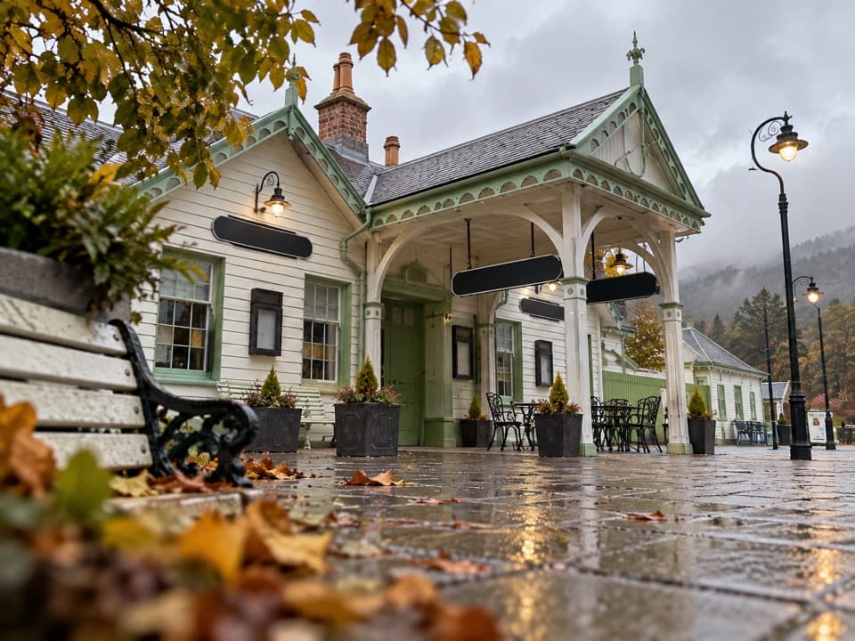 Sight · 7 km awayBallater Old Royal StationA replica royal carriage, station history and a café under one roof.
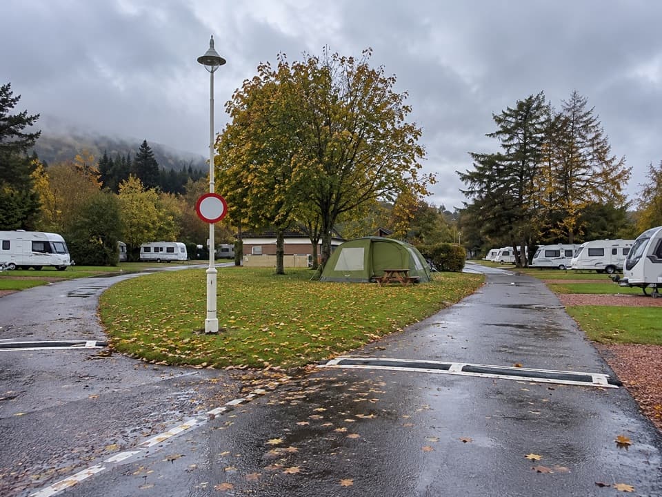 Campground · 7.4 km awayBallater Caravan ParkPitch beside the Dee, then walk into Ballater.
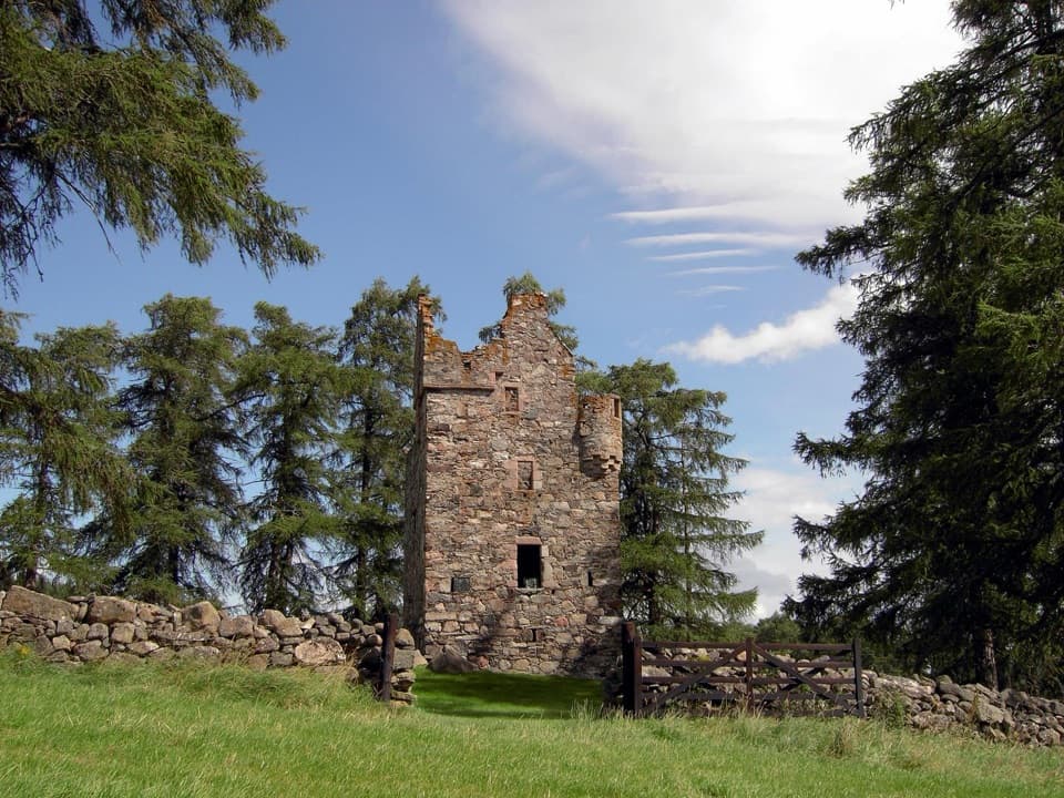 Sight · 8.9 km awayKnock CastleA roofless Gordon tower above Ballater, with a surviving spiral stair.
 Sight · 13.5 km awayGairnshiel BridgeA humpback stone arch beside the modern A939 crossing.
Parkwolf’s Cairngorms ranking

The audio tour guide for the drive, plus offline maps, trails, and wildlife heatmaps for when the signal drops.





