Parking
Use the Braeloine Visitor Centre car park, where Glen Tanar’s waymarked walks begin. Parking charges apply.
Cairngorms National Park, SC
A gentle loop beside the Water of Tanar and a glacial moraine.
Overview
Map & elevation
Plan your hike

The highest, rockiest slopes around here are a summer buffet for grizzly bears.
Cairngorms Tour Guide
Parkwolf is a GPS audio tour guide for Cairngorms National Park. As you drive, it chimes in with what’s ahead: hidden gems, upcoming stops, history, geology, and wildlife, right through your car’s speakers.
See the Cairngorms audio tourRecorded for this trailhead
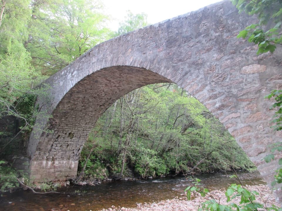
Glen Tanar and Fairy Lochan“Glen Tanar Visitor Centre is coming up, in the former Braeloine Cottage. Park at Braeloine and cross the old arched bridge to reach its heritage displays and ranger advice.”
Plays as you drive up to this trailhead in the Parkwolf Cairngorms Tour Guide.
More stories near here in the app
“Fantastic app with many points of information… It’s great to just turn on while you’re driving and it gives you an audio tour of the national Park. We love it!!!!”


Trail guide
Riverbank Path is a 4.7 km (2.9 mile) loop from Braeloine Visitor Centre. It extends the Fairy Lochan Path before returning along the Water of Tanar. Allow about 1 hour 20 minutes. The route uses crushed stone and grass, with a few short, gentle slopes. If you only want the chapel, its 1.75 km walk is the shorter option; choose Riverbank for the lochan and moraine crossing too.
The waymarked path passes the Chapel of St Lesmo, then crosses farmland and pine woodland on the way to Fairy Lochan. The stone chapel dates to 1872. In summer, the lochan is a good place to look for damselflies and dragonflies.
The Riverbank extension takes you farther along the Water of Tanar, across a moraine dam, and back toward the visitor centre. This is the walk’s best stretch if you came for the river: you get water, wooded banks, and a change of pace from the inland path.
The low ridge is a terminal moraine: boulders and gravel left where a glacier stopped. A loch would have formed behind it. It’s a small feature, but it gives the return walk a useful bit of glacial history to look for.
All the waymarked Glen Tanar walks start at Braeloine Visitor Centre, where there are toilets. Dogs can come under the Scottish Outdoor Access Code; keep them close around livestock and out of fields with lambs or calves.
Wildlife
 159 sightingsRed DeerMost seen around 7 AMSighting map
 63 sightingsReindeerMost seen around 6 PMSighting map
 102 sightingsOspreyMost seen around 5 PMSighting map
 37 sightingsBlack GrouseMost seen around 4 AMSighting map
 72 sightingsRed GrouseMost seen around 6 PMSighting map
 82 sightingsPine MartenMost seen around 9 PMSighting map
Sighting maps show where each species has been reported across Cairngorms. Wildlife moves, so no sighting is guaranteed.
Keep exploring
 EasyOld Pines Path, Glen Tanar8.3 km · 2.3 hr · At the trailheadA gentle glen circuit linking old pines, a chapel and a viewpoint.
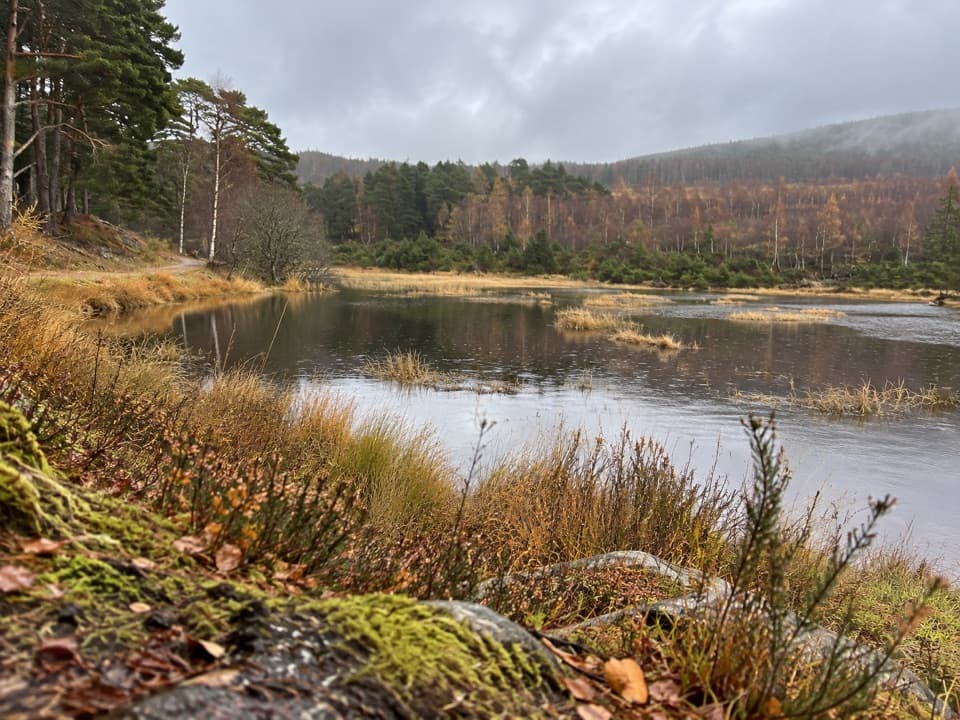 EasyFairy Lochan Path3.5 km · 1 hr · At the trailheadA gentle lochan loop with a chapel and summer dragonflies.
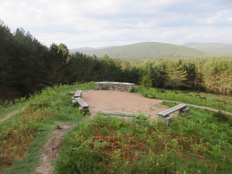 EasyKnockie Viewpoint Path3.2 km · 1 hr · At the trailheadA quick forest loop to a glen view and an old chapel.
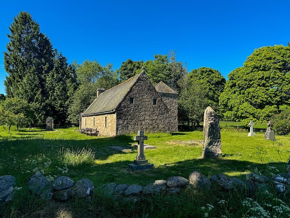 EasyChapel of St Lesmo Path1.8 km · 30 min · At the trailheadAn easy 1.1-mile loop through meadows to a historic chapel.
 ChallengingFirmounth19 km · 6.5 hr · At the trailheadA high drove road from Glen Tanar to Tarfside.
 EasyJuniper Viewpoint Path, Glen Tanar0.6 km · 20 min · 0.1 km awayA quick, steep climb to a view across Glen Tanar.
 ChallengingMount Keen via Glen Tanar29.3 km · 9 hr · 0.1 km awayA long pinewood approach to Scotland’s most easterly Munro.
 ModerateParkin’s Moss Trail3.2 km · 1.5 hr · 6.1 km awayA short loop takes you onto the raised bog by boardwalk.
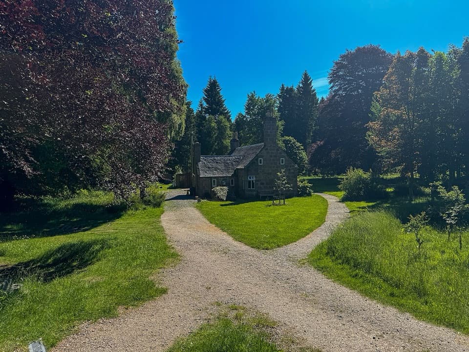 Visitor center · At the trailheadGlen Tanar Visitor CentreRanger advice and heritage displays make a useful start to glen walks.
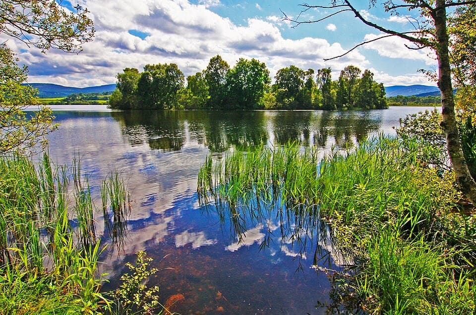 Sight · 4.4 km awayLoch KinordA lochside circuit links wooded islands and Pictish carving.
 Sight · 6.1 km awayCambus o’May Suspension BridgeCross the Dee on a white 1905 suspension bridge
 Sight · 6.4 km awayBurn O’VatA narrow crack opens into an 18-metre granite chamber with a waterfall.
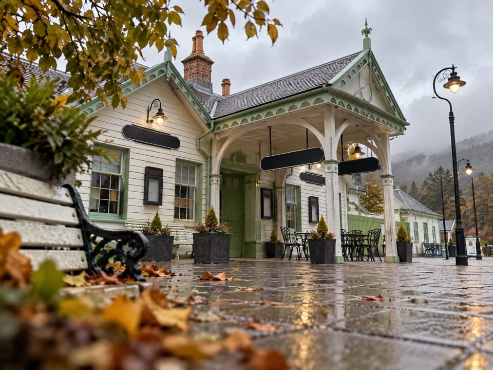 Sight · 11.1 km awayBallater Old Royal StationA replica royal carriage, station history and a café under one roof.
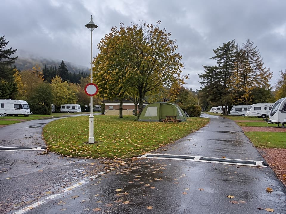 Campground · 11.1 km awayBallater Caravan ParkPitch beside the Dee, then walk into Ballater.
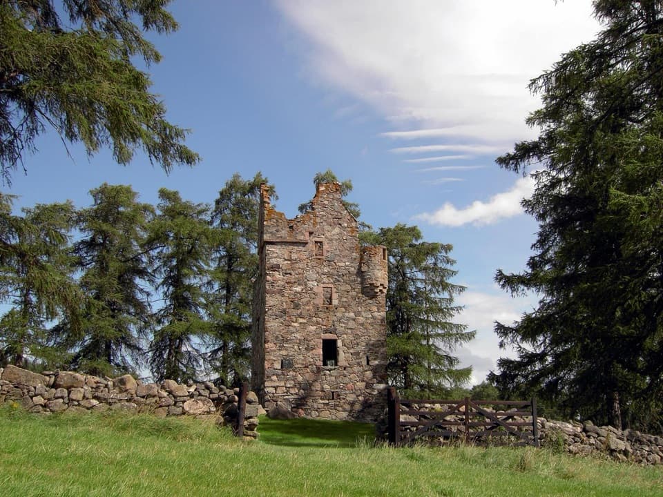 Sight · 12.9 km awayKnock CastleA roofless Gordon tower above Ballater, with a surviving spiral stair.
 Sight · 14.9 km awayQueen’s WellWalk 8 km to a stone crown built for Queen Victoria.
Parkwolf’s Cairngorms ranking

The audio tour guide for the drive, plus offline maps, trails, and wildlife heatmaps for when the signal drops.





