Parking
Begin at the information board in Sugarbowl Car Park on the Cairngorm road above Glenmore. Parking is chargeable, with a picnic area beside the access.
Cairngorms National Park, SC
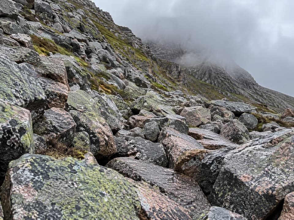
A long Cairngorms circuit crosses a boulder-choked pass.
Overview
Map & elevation
Plan your hike

The highest, rockiest slopes around here are a summer buffet for grizzly bears.
Cairngorms Tour Guide
Parkwolf is a GPS audio tour guide for Cairngorms National Park. As you drive, it chimes in with what’s ahead: hidden gems, upcoming stops, history, geology, and wildlife, right through your car’s speakers.
See the Cairngorms audio tourRecorded for this trailhead
Sugar Bowl and Chalamain Gap“You're coming up on Sugar Bowl, the walking start for Chalamain Gap. The gap is a narrow pass choked with large boulders, so crossing it means a tiring clamber rather than an easy path.”
Plays as you drive up to this trailhead in the Parkwolf Cairngorms Tour Guide.
More stories near here in the app
“Fantastic app with many points of information… It’s great to just turn on while you’re driving and it gives you an audio tour of the national Park. We love it!!!!”


Trail guide
The Chalamain Gap Circuit is an 18 km (11.25 mi) loop from Sugarbowl, with 541 m of ascent and a typical 6–7-hour day. It climbs over Utsi’s Bridge, clambers through the boulder-filled Chalamain Gap, then returns by the Lairig Ghru side, Piccadilly, Loch Morlich’s south shore, Hayfield and Allt Mor. Most of the circuit follows paths, but the Gap and rough riverside return make this a hard walk. Open hillside is exposed to wind.
Start at the Sugarbowl information board, cross the Cairngorm road and descend to Utsi’s Bridge over Allt Mor. The path climbs steeply beyond it; higher up, look back toward Glen More and Ryvoan Pass. It then follows the hillside above a burn, with views toward Cairn Gorm’s Northern Corries. After crossing Caochain Dubh a’ Chàdha, stay on the main hillside route rather than taking the rough fork toward Eag a’ Chait.
The pass lies between Creag a’ Chalamain and Lurcher’s Crag. Large boulders choke the narrow gap, so crossing is a tiring, careful clamber rather than a smooth path walk. Take time to choose secure steps. Some winter conditions bring avalanche hazard here, and snow can hide both the boulders and the easiest line. The boulder-filled defile and steep sides make this the route’s defining view.
Beyond the Gap, the path eases but stays exposed to wind as it drops toward Allt Druidh. Follow the burn downstream on the same side; the route does not cross it here. Lower down, it reaches mature pinewood and descends above the water to the Piccadilly junction. Avoid the rough branch toward Rothiemurchus Lodge and take the Loch Morlich side of the circuit.
From Piccadilly, the route turns toward Loch Morlich and follows its south side through pinewoods to Hayfield. It then heads back toward Allt Mor, crosses the river and follows a rough, bouldery riverside stretch with boardwalk sections before returning to Utsi’s Bridge. From there, retrace the opening path to Sugarbowl. The day moves between open hillside, a rocky pass, forest paths and rougher riverbank footing.
Chalamain Gap was a drove-road feeder into the Lairig Ghru, likely used by drovers travelling from Nethybridge toward Braemar. Sugarbowl has charge parking and a picnic area; plan food before setting out, as no food stop on the circuit is established. Dogs may accompany walkers under Scotland’s normal access rules; keep them under close control around wildlife and livestock.
Wildlife
 159 sightingsRed DeerMost seen around 7 AMSighting map
 63 sightingsReindeerMost seen around 6 PMSighting map
 102 sightingsOspreyMost seen around 5 PMSighting map
 37 sightingsBlack GrouseMost seen around 4 AMSighting map
 72 sightingsRed GrouseMost seen around 6 PMSighting map
 82 sightingsPine MartenMost seen around 9 PMSighting map
Sighting maps show where each species has been reported across Cairngorms. Wildlife moves, so no sighting is guaranteed.
Keep exploring
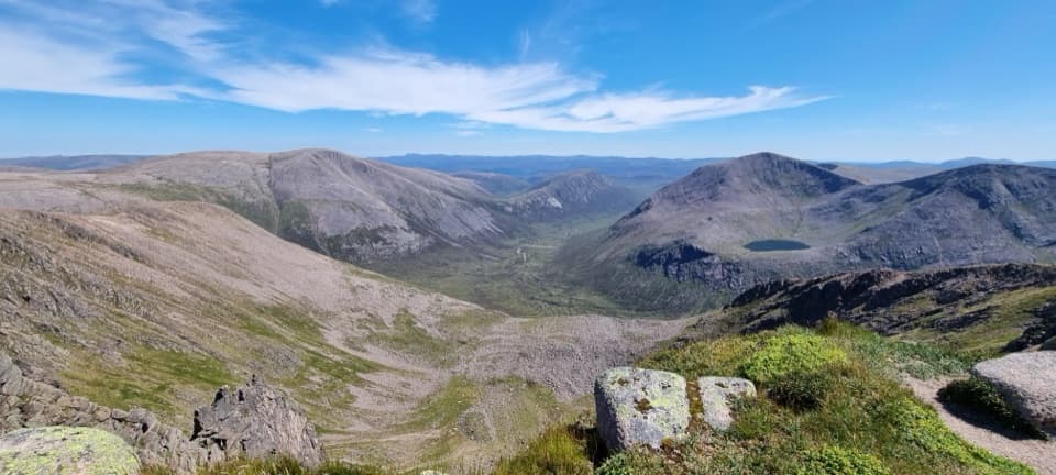 ChallengingCairn Toul–Braeriach Traverse35.8 km · 13 hr · At the trailheadFour Munros, a glacial pass and a high, remote return.
 ModerateLodge Trail3.9 km · 1.5 hr · 1.4 km awayPinewoods, a footbridge and dog-grave headstones near the lodge.
 ChallengingBynack More from Glenmore22.5 km · 7 hr · 1.4 km awayA long Munro out-and-back to a wide view over Moray.
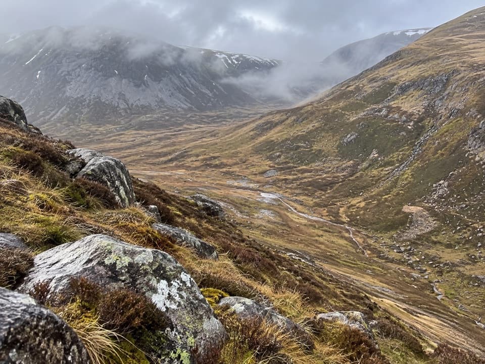 ChallengingLairig an Laoigh30.6 km · 9 hr · 1.4 km awayA remote 19-mile crossing with rough moorland and a serious Avon ford.
 ChallengingBen Macdui and Cairn Gorm Circuit19.8 km · 8.5 hr · 1.4 km awayTwo Munro summits and a boulderfield crossing to navigate.
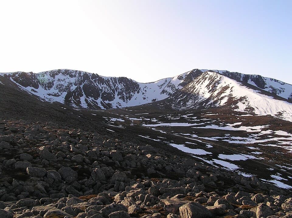 ModerateCoire an t-Sneachda Trail5.8 km · 2 hr · 1.4 km awayA 3.6-mile out-and-back to boulders beneath high corrie cliffs.
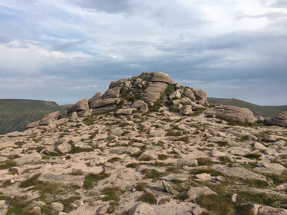 ChallengingBeinn Mheadhoin via the Shelter Stone18.9 km · 8.5 hr · 1.4 km awayThe Shelter Stone and a granite tor make a hard full-day outing.
 ModeratePine Knoll Trail2 km · 45 min · 1.9 km awayA short loop beneath twisted pines, with wood ants and summer dragonflies.
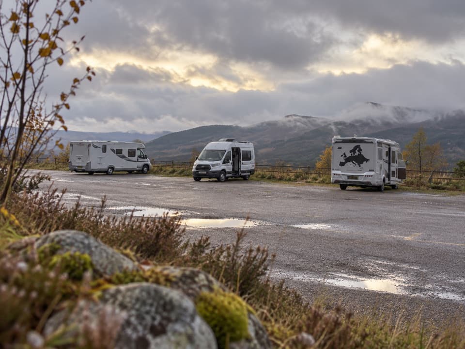 Campground · 1.1 km awayCairngorm Motorhome StopoverWake to Loch Morlich views if your motorhome is self-contained.
 Sight · 1.4 km awayCairngorm MountainA quick funicular ride to high views over Strathspey.
 Sight · 1.9 km awayHayfieldA Glenmore stop for a pine-lined walk and snow-day sledging.
 Campground · 2.4 km awayGlenmore CampsitePine-forest camping, with Loch Morlich’s sandy beach a short walk away.
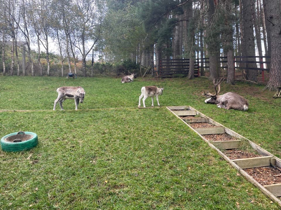 Sight · 2.4 km awayCairngorm Reindeer CentreA mountain walk brings you close enough to hand-feed reindeer.
 Visitor center · 2.5 km awayGlenmore Visitor CentreGet local walk advice before choosing your Glenmore route.
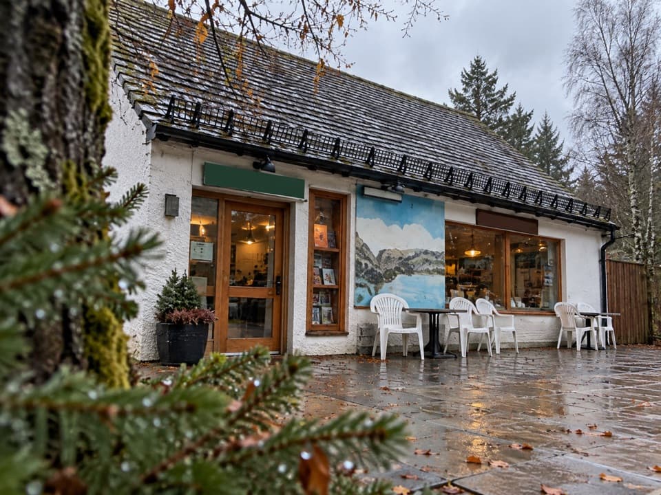 Restaurant · 2.6 km awayThe Pine Marten Bar & ScranAn alpine-style meal stop for hikers, skiers and campers.
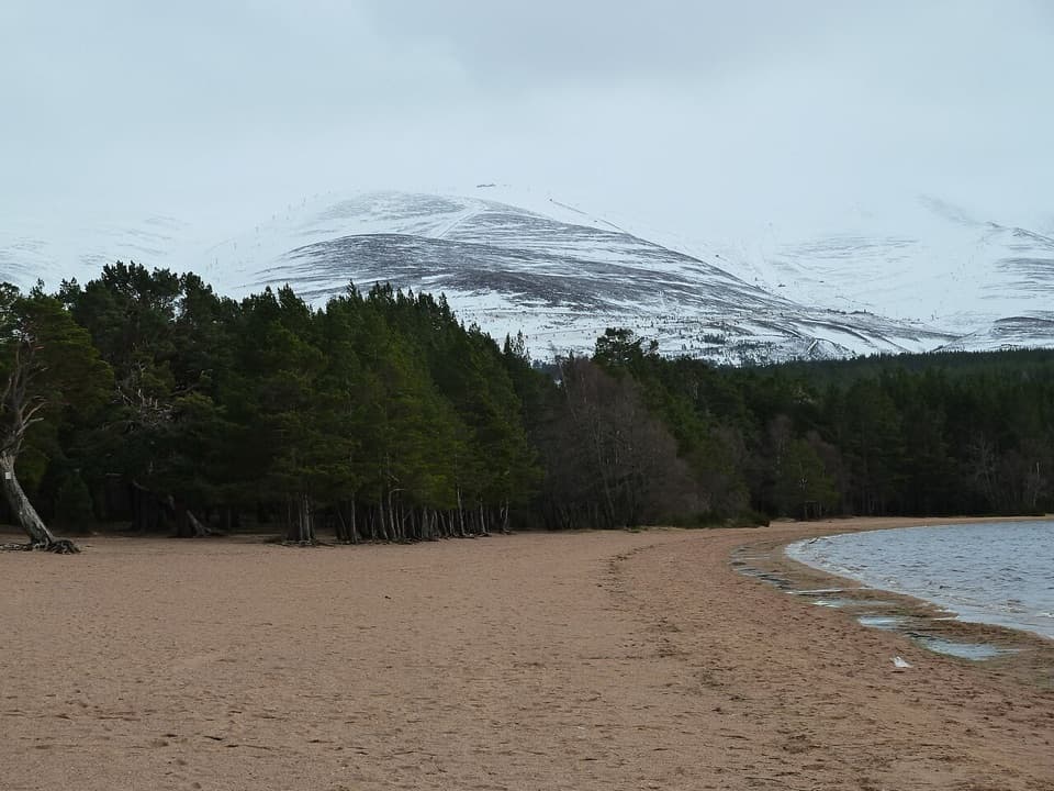 Beach · 2.7 km awayLoch Morlich BeachA sandy freshwater beach with the Cairngorms across the water.
Parkwolf’s Cairngorms ranking

The audio tour guide for the drive, plus offline maps, trails, and wildlife heatmaps for when the signal drops.




