Angel Arch Trail in Canyonlands National Park

Canyonlands National Park, UT

Angel Arch Trail

Molar Rock and a giant arch reward a hard canyon walk.

Photo: Wikimedia Commons
Length
27.5mi
Time
20hr
Elev. change
876ft
Difficulty
Challenging
  • No dogs
  • High point 5,804 ft

Hear the audio tour

Lower Salt Creek Gate and Angel Arch

Overview

About Angel Arch Trail

Why go

  • A rare, memorable arch framed by Molar Rock rewards a genuinely remote approach.
  • The canyon combines a dramatic natural feature with a protected archaeological landscape.

Heads up

  • About 27.5 miles round trip from safe gate parking; plan for nights in the canyon.
  • Deep sand, overgrowth and faint tread make route-finding slow.

Map & elevation

The route

Loading the Canyonlands map
Full map
Elevation4,928–5,804 ft
TrailheadCave Spring / Salt Creek Gate38.14970, -109.75500
Keep this map with you offline in the Parkwolf app

Plan your hike

Before you go

Parking

Use the Cave Spring / Salt Creek Gate parking area. The safe approach adds about 3.5 miles of sandy road walking each way to Peekaboo. Do not park at Peekaboo or along Salt Creek / Horse Canyon roads because flash floods can sweep the low canyon bottoms.

Safety

This is a remote multi-day route with unreliable water, deep sand, dense overgrowth, faint tread and flash-flood exposure in canyon bottoms. Carry all water. Dogs are prohibited on trails. Overnight stays require a reserved campsite or zone; dispersed camping is not allowed.

2 active Canyonlands alerts

  • ClosureRain-damaged Needles backcountry roads impassableRecent rains have made several Needles backcountry roads impassable; do not drive these routes.Official details
  • CautionMaze access roads require high-clearance 4WDOnly use high-clearance 4WD to reach Hans Flat or Horseshoe Canyon in The Maze; low-clearance vehicles are not recommended on these damaged, rutted, muddy routes.Official details
Canyonlands alerts
A park ranger sits on a dash-mounted phone, talking, as Parkwolf’s Tour Guide plays “Army Cutworm Moths: A Grizzly Bear Buffet” on Grand Loop Road below Dunraven Pass in Yellowstone
Parkwolf Tour GuideThe highest, rockiest slopes around here are a summer buffet for grizzly bears.

Canyonlands Tour Guide

Your drive to Angel Arch Trail, narrated.

Parkwolf is a GPS audio tour guide for Canyonlands National Park. As you drive, it chimes in with what’s ahead: hidden gems, upcoming stops, history, geology, and wildlife, right through your car’s speakers.

See the Canyonlands audio tour

Recorded for this trailhead

Lower Salt Creek Gate and Angel Arch
0:00 / 0:31
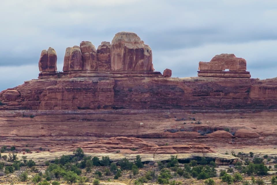
“You're approaching Lower Salt Creek gate, a starting point for a planned backpacking trip to Angel Arch. The arch cuts through a tall sandstone fin, with tooth-shaped Molar Rock in front of it.”

Plays as you drive up to this trailhead in the Parkwolf Canyonlands Tour Guide.

More stories near here in the app

  • Cave Spring and Cowboy Camp
  • A Lizard on Two Legs
  • Stone Storehouse
  • The Needles Visitor Center
  • 43 audio storiesacross Canyonlands’s roads, triggered by GPS as you drive
  • Wildlife heatmapsfor Bighorn Sheep, Mule Deer, Coyote, and 13 more
  • Works offlinemaps, 63 trails, 65 places, and audio download before you lose signal
  • CarPlay readysimple controls built for the drive
★★★★★
“Fantastic app with many points of information… It’s great to just turn on while you’re driving and it gives you an audio tour of the national Park. We love it!!!!”
JMJamesApp Store review
Download Parkwolf on the App StoreGet Parkwolf on Google Play

4.7 from 8,600+ ratings

Trail guide

Hiking Angel Arch Trail

Plan this as a backcountry tripAngel Arch Trail is a remote out-and-back through Salt Creek to a huge natural arch.

Angel Arch Trail is a remote out-and-back through Salt Creek to a huge natural arch. From the Cave Spring / Salt Creek Gate, plan on about 27.5 miles round trip: a sandy road walk to Peekaboo, the long canyon approach, and the signed arch branch, then the same way back. This is a multi-day backpacking trip, not a day hike; allow about 20 hours of walking, usually spread over two or three nights. The current park map's longer route gives 8.5 miles from Peekaboo to the Angel Arch junction. A field report measured 7.5 miles by taking the Trail Arch shortcut, so leave room for route choice and wayfinding.

Following Salt CreekThe walk starts with roughly 3.5 miles on the sandy dirt road to Peekaboo.

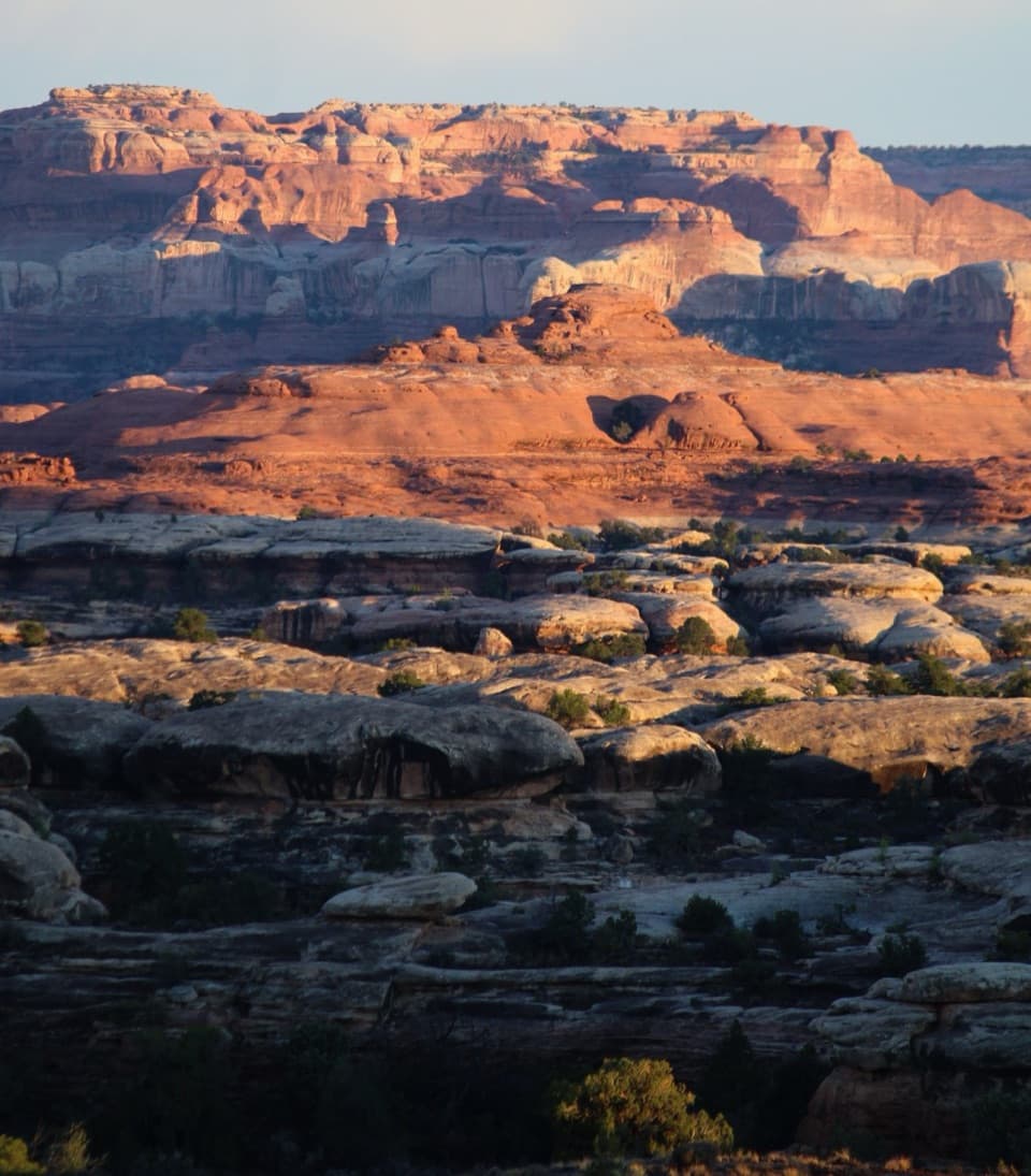
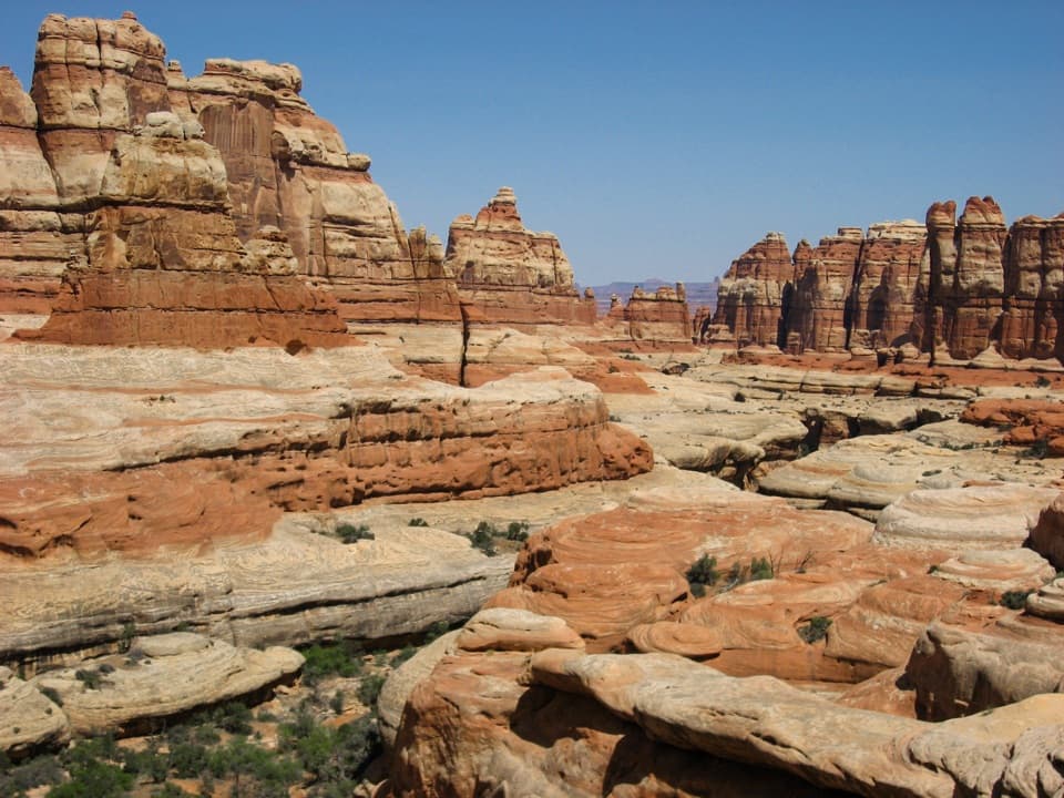
The walk starts with roughly 3.5 miles on the sandy dirt road to Peekaboo. The trail then follows the wash through cottonwoods, reeds and willows before opening onto sagebrush flats. It may be dry, wet, or partly overgrown; seasonal floods and thick plants can hide the tread, and some stretches require careful route-finding between the wash and short cutoffs. Cairns and signs help at junctions, but the small Angel Arch turnoff sits in an overgrown stretch and is easy to pass. Keep a map or GPS handy and confirm the branch before you continue down canyon.

The arch and the viewThe signed side trail climbs away from the wash to the Angel Arch viewpoint.

The signed side trail climbs away from the wash to the Angel Arch viewpoint. The last stretch can be faint and brushy; one field account describes roughly 35 minutes to an hour to reach the arch, depending on the line followed. Angel Arch rises above the canyon, with Molar Rock in the foreground. That broad view is the payoff and the best place to stop; the mapped trail continues closer, but the view can be less complete and the footing more awkward. Do not climb on the arch.

A long-lived cultural landscapeSalt Creek is part of a protected archaeological district with evidence of people living and…

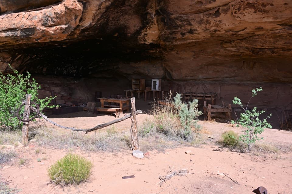
Salt Creek is part of a protected archaeological district with evidence of people living and traveling through the canyon for more than 10,000 years. The road approach also passes a natural bridge and a granary tucked beneath a mushroom-shaped rock; Trail Arch and pictographs are nearby optional stops, outside the mapped Angel Arch route. Stay on established paths and leave the sites untouched. The region's open-air and alcove sites are fragile.

Access, water and campingPark at Cave Spring / Salt Creek Gate and walk the sandy road to Peekaboo; do not leave a…

Park at Cave Spring / Salt Creek Gate and walk the sandy road to Peekaboo; do not leave a vehicle near Peekaboo or along the Salt Creek / Horse Canyon roads, where flash floods can make the canyon bottoms dangerous. Roads to either end can be impassable or require high-clearance four-wheel drive, so check access before traveling. Reserve a designated campsite or the Salt & Horse Zone for an overnight visit; dispersed camping is not allowed. Water sources are unreliable, so carry all the water you need. Dogs are prohibited on park trails. Mosquitoes and gnats can be troublesome from early summer into autumn.

Wildlife

Wildlife in Canyonlands

All Canyonlands wildlife maps

Sighting maps show where each species has been reported across Canyonlands. Wildlife moves, so no sighting is guaranteed.

Keep exploring

Near Angel Arch Trail

See it all on the map

Trails that start nearby

Places near the trailhead

Parkwolf’s Canyonlands ranking

Top-rated trails in Canyonlands

All 63 trails
  1. 1Mesa Arch TrailEasy · 0.6 mi
  2. 2Chesler Park Loop and Joint TrailChallenging · 10.7 mi
  3. 3Druid Arch TrailChallenging · 10.8 mi
  4. 4Grand View Point TrailEasy · 1.8 mi
  5. 5Horseshoe Canyon Trail to the Great GalleryChallenging · 7 mi
  6. 6White Rim Overlook TrailEasy · 1.8 mi

Take Parkwolf to Canyonlands.

The audio tour guide for the drive, plus offline maps, trails, and wildlife heatmaps for when the signal drops.

4.7 from 8,600+ ratings

Download Parkwolf on the App StoreGet Parkwolf on Google Play