Parking
Follow the signs for Cave Spring and Salt Creek to the Lower Salt Creek Trailhead. Park before the locked gate; only a few cars fit, so leave the gate clear.

Canyonlands National Park, UT
A sandy road walk to a sandstone arch in a canyon.
Overview
Map & elevation
Plan your hike

The highest, rockiest slopes around here are a summer buffet for grizzly bears.
Canyonlands Tour Guide
Parkwolf is a GPS audio tour guide for Canyonlands National Park. As you drive, it chimes in with what’s ahead: hidden gems, upcoming stops, history, geology, and wildlife, right through your car’s speakers.
See the Canyonlands audio tourRecorded for this trailhead
Lower Salt Creek Gate and Angel Arch“You're approaching Lower Salt Creek gate, a starting point for a planned backpacking trip to Angel Arch. The arch cuts through a tall sandstone fin, with tooth-shaped Molar Rock in front of it.”
Plays as you drive up to this trailhead in the Parkwolf Canyonlands Tour Guide.
More stories near here in the app
“Fantastic app with many points of information… It’s great to just turn on while you’re driving and it gives you an audio tour of the national Park. We love it!!!!”


Trail guide
Horse Canyon is an out-and-back from the Lower Salt Creek gate to Paul Bunyan’s Potty, a pothole arch in the sandstone. The mapped road route is about 3.4 miles each way, or 6.8 miles round trip; allow about four hours. The first 2.3 miles follow Lower Salt Creek Road to a signed junction, then the Horse Canyon road continues to the arch access. You’re walking a sandy 4WD road and wash, not a built hiking path. The grade is mostly gradual, but soft sand slows the walk.
At the junction, follow the branch into Horse Canyon. A short side road leads to the arch viewpoint. Skull Arch, also called Mrs. Bunyan’s Potty, sits high on the left cliffs and is easy to miss; a small granary alcove nearby is a clue that you’re close. You can see Paul Bunyan’s Potty from its established viewpoint. Don’t scramble up the steep, slippery watercourse beneath it or enter the alcove, which contains archaeological remains.
The wider Salt Creek district preserves evidence of human occupation going back at least 7,600 years. Its reliable water and soils supported farming, and the area’s granaries outnumber its dwellings, suggesting some use was seasonal. Horse Canyon’s arches and cultural sites sit in the same canyon landscape. Look from established access and don’t enter, alter, or damage archaeological sites.
Water is unreliable, and deep sand, deep water, and quicksand occur in the canyon bottom. Carry all the water you need and stay out of a canyon that’s flooding. Pets aren’t allowed. Day-use permits apply to vehicles, motorcycles, and bicycles on these roads; you can walk in from the gate without one.
Wildlife
 48 sightingsBighorn SheepMost seen around 7 AMSighting map
 47 sightingsMule DeerMost seen around 7 AMSighting map
 12 sightingsCoyoteMost seen around 7 PMSighting map
 30 sightingsWestern RattlesnakeMost seen around 7 PMSighting map
 18 sightingsTurkey VultureMost seen around 11 AMSighting map
 18 sightingsWild TurkeyMost seen around 7 AMSighting map
Sighting maps show where each species has been reported across Canyonlands. Wildlife moves, so no sighting is guaranteed.
Keep exploring
 ChallengingAngel Arch Trail27.5 mi · 20 hr · At the trailheadMolar Rock and a giant arch reward a hard canyon walk.
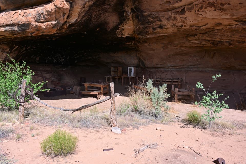 EasyCave Spring Trail0.6 mi · 45 min · 0.6 mi awayA short loop with a cowboy camp, spring alcove, and rock art.
 EasyStone Storehouse Trail0.3 mi · 20 min · 1 mi awayA short loop to an Indigenous storehouse beneath a sandstone alcove.
 ChallengingAmerican Discovery Trail (Canyonlands Passage)19.8 mi · 10 hr · 2.7 mi awayA remote, one-way 19.8-mile road walk through The Needles.
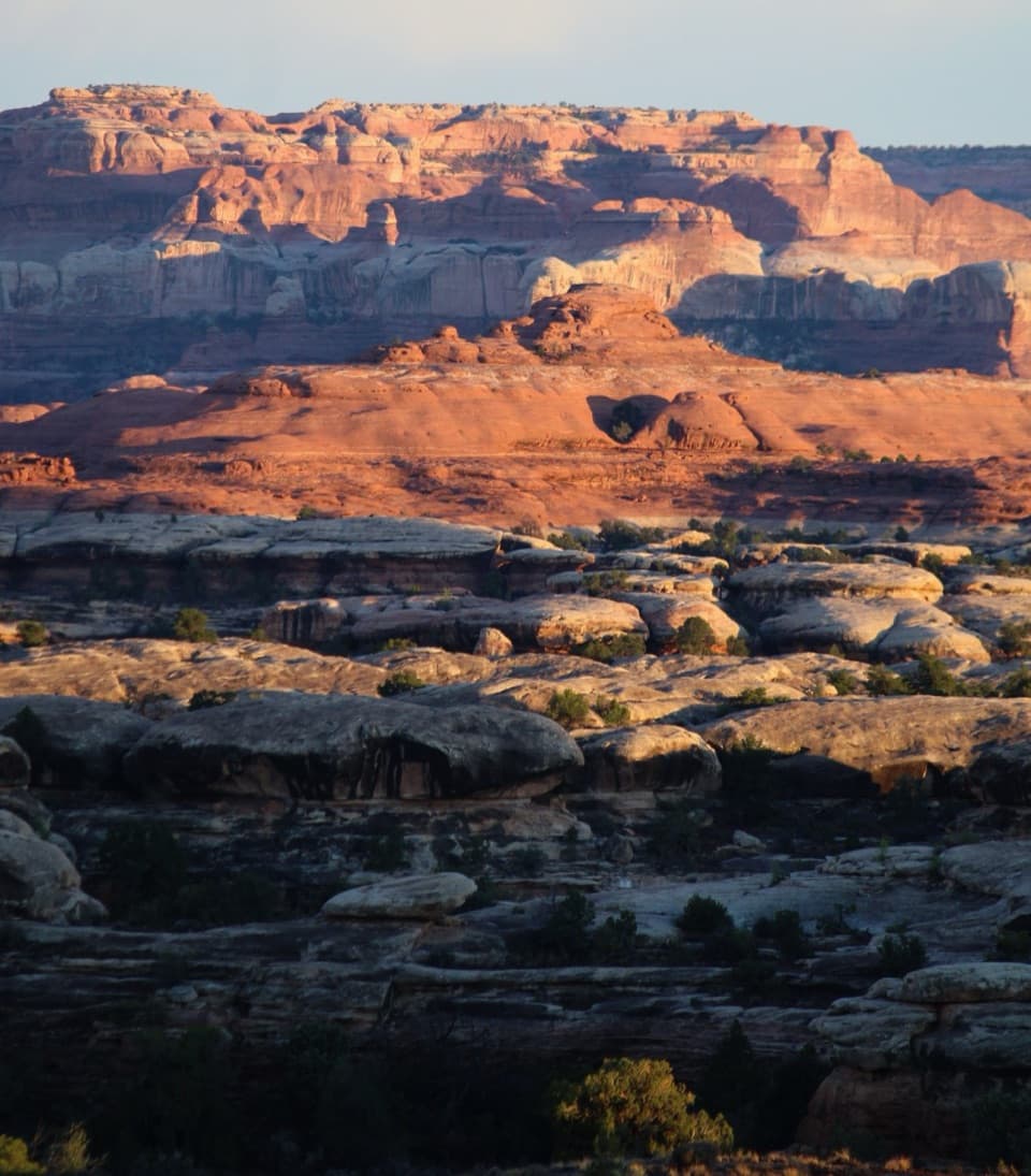 ChallengingWooden Shoe Canyon to Lost Canyon Loop Trail8.7 mi · 5.5 hr · 2.7 mi awayTwo canyon floors, slickrock climbs, and one ladder in a rugged loop.
 ChallengingPeekaboo Trail10.8 mi · 6 hr · 2.7 mi awayTwo ladders and high slickrock make this a serious Needles day hike.
 ModerateBig Spring to Wooden Shoe Canyon Loop Trail7.5 mi · 3.5 hr · 2.7 mi awayTwo canyons, one high saddle, and a rougher route between them.
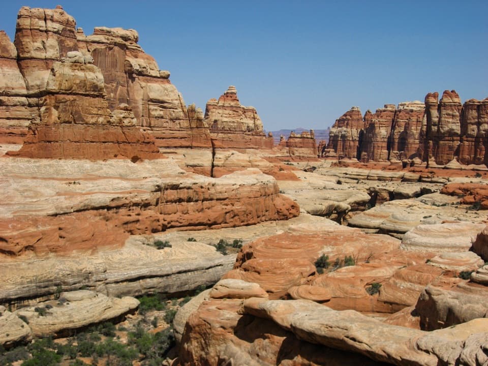 ChallengingBig Spring Canyon to Elephant Canyon Loop Trail10.5 mi · 5 hr · 2.7 mi awayTwo ladders cross a slickrock pass between Big Spring and Elephant.Sight · 0.5 mi awayCave Spring and Cowboy CampSpring, cowboy camp and rock art all fit in a 45-minute loop.Sight · 1 mi awayStone StorehouseA quick loop to an ancient granary beneath a sandstone alcove.
 Visitor center · 1.3 mi awayThe Needles Visitor CenterGet ranger advice before choosing a Needles hike or 4WD road.
 Entrance station · 1.3 mi awayThe Needles Entrance StationBuy your park pass here before continuing into The Needles.
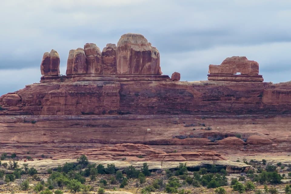 Sight · 1.4 mi awayWooden Shoe Arch OverlookA quick stop for one unmistakable shoe-shaped arch.
 Campground · 1.8 mi awayNeedles OutpostA handy, rustic base just outside the Needles District.
 Campground · 2.4 mi awayPeekaboo CampA remote two-site camp near rock art, for experienced 4WD drivers.
 Campground · 2.5 mi awayThe Needles CampgroundCamp among sandstone spires, with Needles hikes close at hand.
Parkwolf’s Canyonlands ranking

The audio tour guide for the drive, plus offline maps, trails, and wildlife heatmaps for when the signal drops.




