Parking
No dedicated trailhead lot was verified at either boundary crossing. Start where Utah 211 enters the park and finish on Butler Flat Road at the west boundary; arrange transport between the ends.

Canyonlands National Park, UT
A remote, one-way 19.8-mile road walk through The Needles.
Overview
Map & elevation
Plan your hike

The highest, rockiest slopes around here are a summer buffet for grizzly bears.
Canyonlands Tour Guide
Parkwolf is a GPS audio tour guide for Canyonlands National Park. As you drive, it chimes in with what’s ahead: hidden gems, upcoming stops, history, geology, and wildlife, right through your car’s speakers.
See the Canyonlands audio tourRecorded for this area
Why the Needles Stand Apart“The Needles began as a connected mass of sandstone, split by two crossing sets of cracks. One set formed as the rock bent upward.”
Plays near this trailhead in the Parkwolf Canyonlands Tour Guide.
More stories near here in the app
“Fantastic app with many points of information… It’s great to just turn on while you’re driving and it gives you an audio tour of the national Park. We love it!!!!”


Trail guide
This is the 19.8-mile Needles passage of the American Discovery Trail, from where Utah 211 crosses the east boundary of Canyonlands to the park boundary on Butler Flat Road toward Beef Basin. It makes sense as part of the long-distance ADT, not as a separate park day hike. Plan a vehicle transfer at both ends and allow a full day on foot.
The route mixes paved park road with rough dirt and four-wheel-drive roads. It passes near the Needles Visitor Center, then turns onto the Elephant Hill access road and follows the Elephant Hill route west through Devils Lane to Butler Flat. The Elephant Hill section is the demanding part: steep grades, loose rock, stair-step drops and tight turns make this much rougher than a normal road walk.
The Needles Visitor Center is a short detour near the middle and has year-round water. No other reliable water source was confirmed on this park section, so plan the full crossing before you leave the visitor center area. A park entrance fee applies; overnight backcountry travel requires a permit. The vehicle day-use permit for Elephant Hill applies to motor vehicles. Rain can make the unpaved roads slick or impassable, so check current road conditions before setting out.
Wildlife
 48 sightingsBighorn SheepMost seen around 7 AMSighting map
 47 sightingsMule DeerMost seen around 7 AMSighting map
 12 sightingsCoyoteMost seen around 7 PMSighting map
 30 sightingsWestern RattlesnakeMost seen around 7 PMSighting map
 18 sightingsTurkey VultureMost seen around 11 AMSighting map
 18 sightingsWild TurkeyMost seen around 7 AMSighting map
Sighting maps show where each species has been reported across Canyonlands. Wildlife moves, so no sighting is guaranteed.
Keep exploring
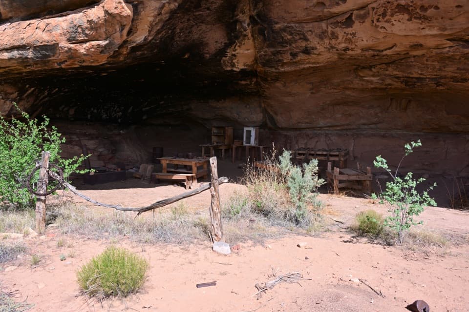 EasyCave Spring Trail0.6 mi · 45 min · 2.3 mi awayA short loop with a cowboy camp, spring alcove, and rock art.
 ModerateHorse Canyon Road Walk to Paul Bunyan’s Potty6.8 mi · 4 hr · 2.7 mi awayA sandy road walk to a sandstone arch in a canyon.
 ChallengingAngel Arch Trail27.5 mi · 20 hr · 2.7 mi awayMolar Rock and a giant arch reward a hard canyon walk.
 EasyStone Storehouse Trail0.3 mi · 20 min · 2.7 mi awayA short loop to an Indigenous storehouse beneath a sandstone alcove.
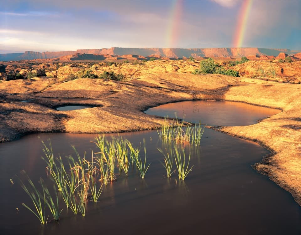 EasyPothole Point Trail0.6 mi · 45 min · 5 mi awayA short cairn-marked loop among rain-fed pothole gardens.
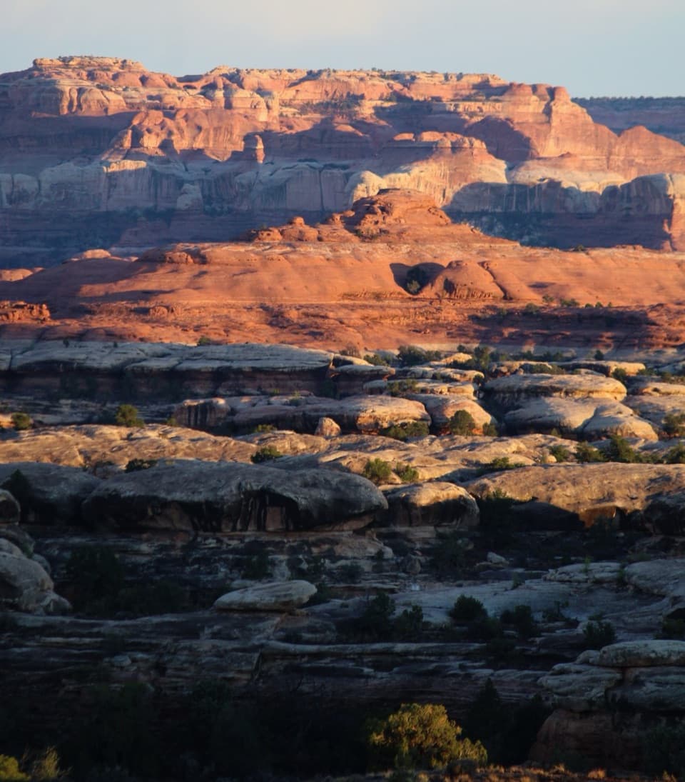 ChallengingWooden Shoe Canyon to Lost Canyon Loop Trail8.7 mi · 5.5 hr · 5.2 mi awayTwo canyon floors, slickrock climbs, and one ladder in a rugged loop.
 ChallengingPeekaboo Trail10.8 mi · 6 hr · 5.2 mi awayTwo ladders and high slickrock make this a serious Needles day hike.
 ModerateBig Spring to Wooden Shoe Canyon Loop Trail7.5 mi · 3.5 hr · 5.2 mi awayTwo canyons, one high saddle, and a rougher route between them.
 Campground · 1.5 mi awayNeedles OutpostA handy, rustic base just outside the Needles District.
 Entrance station · 2.2 mi awayThe Needles Entrance StationBuy your park pass here before continuing into The Needles.Sight · 2.4 mi awayCave Spring and Cowboy CampSpring, cowboy camp and rock art all fit in a 45-minute loop.
 Visitor center · 2.5 mi awayThe Needles Visitor CenterGet ranger advice before choosing a Needles hike or 4WD road.Sight · 2.6 mi awayStone StorehouseA quick loop to an ancient granary beneath a sandstone alcove.
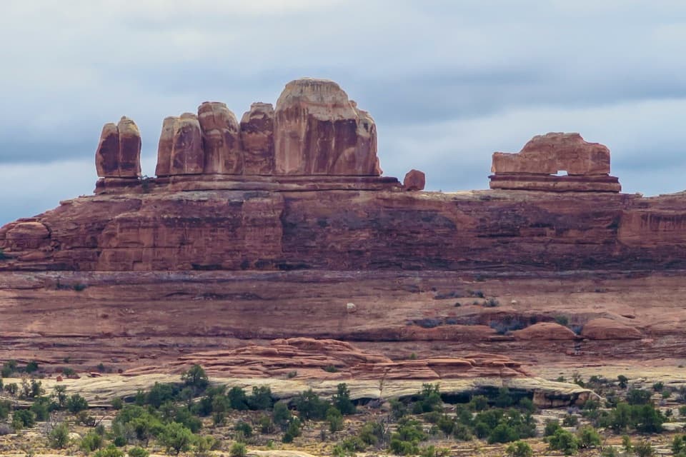 Sight · 3.9 mi awayWooden Shoe Arch OverlookA quick stop for one unmistakable shoe-shaped arch.
 Campground · 4.4 mi awayPeekaboo CampA remote two-site camp near rock art, for experienced 4WD drivers.
 Campground · 5.1 mi awayThe Needles CampgroundCamp among sandstone spires, with Needles hikes close at hand.
Parkwolf’s Canyonlands ranking

The audio tour guide for the drive, plus offline maps, trails, and wildlife heatmaps for when the signal drops.




