Parking
Start at Parks Canada’s Neils Brook Beach trailhead (46.807398, -60.344756); published materials do not give lot capacity or facilities.
Cape Breton Highlands National Park, NS
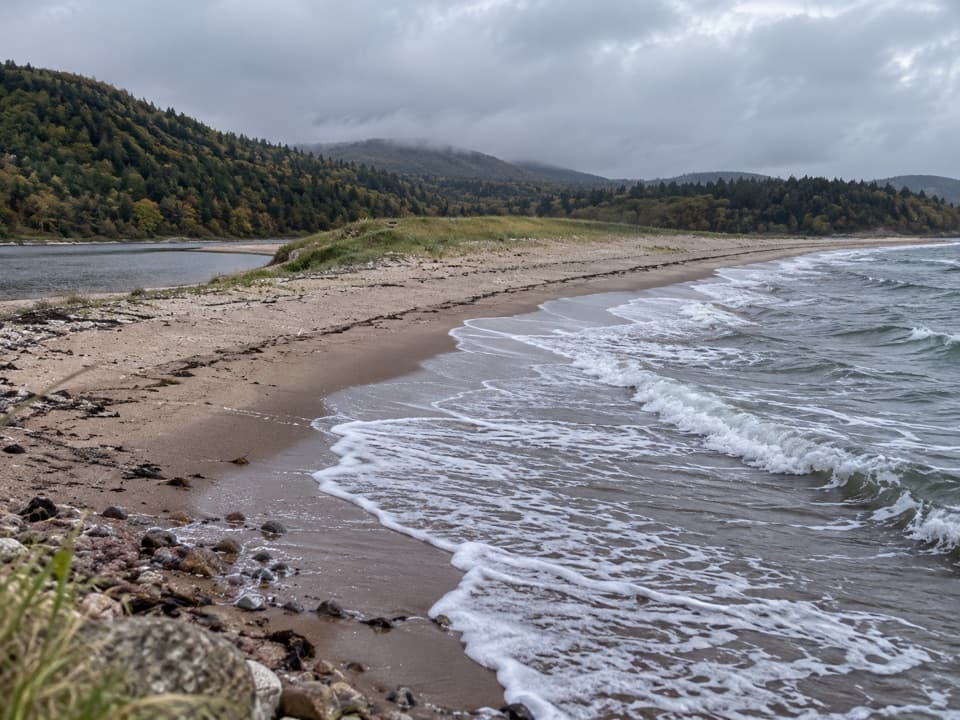
A short forest walk ends on a sandy shore beside an estuary.
Overview
Map & elevation
Plan your hike

The highest, rockiest slopes around here are a summer buffet for grizzly bears.
Cape Breton Highlands Tour Guide
Parkwolf is a GPS audio tour guide for Cape Breton Highlands National Park. As you drive, it chimes in with what’s ahead: hidden gems, upcoming stops, history, geology, and wildlife, right through your car’s speakers.
See the Cape Breton Highlands audio tourRecorded for this trailhead
Neils Brook Beach“You're nearing the Neils Brook Beach trailhead, for an easy forest walk to the quieter end of Neil's Harbour Beach.”
Plays as you drive up to this trailhead in the Parkwolf Cape Breton Highlands Tour Guide.
More stories near here in the app
“Fantastic app with many points of information… It’s great to just turn on while you’re driving and it gives you an audio tour of the national Park. We love it!!!!”


Trail guide
Neils Brook Beach is an easy out-and-back from its northern trailhead: 2.5 km (1.5 mi) return, with 45–50 minutes listed for the full walk. The route passes through boreal forest to the less-explored end of Neil’s Harbour Beach, where a sandy shore sits between the Atlantic and an estuary. Choose it for a gentle woodland approach and a beach stop, not for a summit or a long coastal trek.
The forest understory changes with the seasons. The park rates the route easy and lists an elevation range of 0–45 m. The exact tread, grade changes and crossings are not described in the published trail information, so the surface is less certain than the short distance suggests. The mapped trail corridor is about 1.1 km one way, a little shorter than half the official return distance; the saved line follows the northern trail to the beach.
At the end, the sand is bordered by Atlantic surf on one side and Neil’s Harbour Pond and its estuary on the other. It is a worthwhile stop for the meeting of those two waters: frame the beach with both in view. There is no lifeguard, and ocean beaches here can have strong undertows and rip currents.
Wildlife
 180 sightingsMooseMost seen around 5 AMSighting map
 60 sightingsBlack BearMost seen around 6 PMSighting map
 48 sightingsBald EagleMost seen around 8 AMSighting map
 29 sightingsGrey SealMost seen around 7 AMSighting map
 14 sightingsCoyoteMost seen around 8 PMSighting map
 10 sightingsWhite-tailed DeerMost seen around 6 AMSighting map
Sighting maps show where each species has been reported across Cape Breton Highlands. Wildlife moves, so no sighting is guaranteed.
Keep exploring
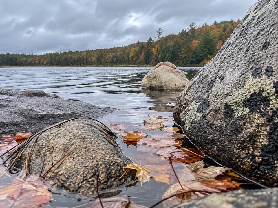 EasyJigging Cove Lake Trail2.4 km · 1 hr · 2.2 km awayA short lake loop for birders who don't mind wet footing.
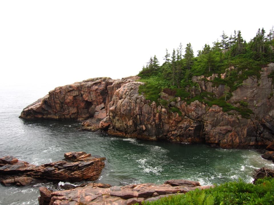 EasyJack Pine2.3 km · 1 hr · 3.3 km awayA short loop to a rare jack pine pocket and Atlantic views.EasyCoastal Trail (Black Brook Section)1.3 km · 45 min · 3.3 km awayA short, rocky route to Squeaker Hole
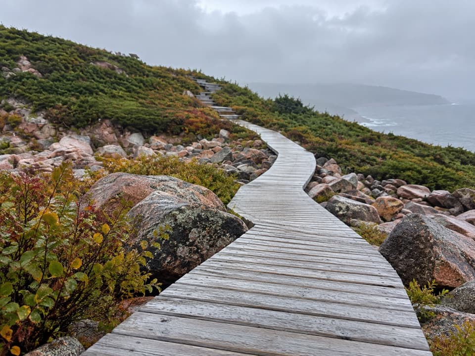 EasyGreen Cove0.2 km · 10 min · 6.5 km awayA short boardwalk leads to a wave-battered granite point.
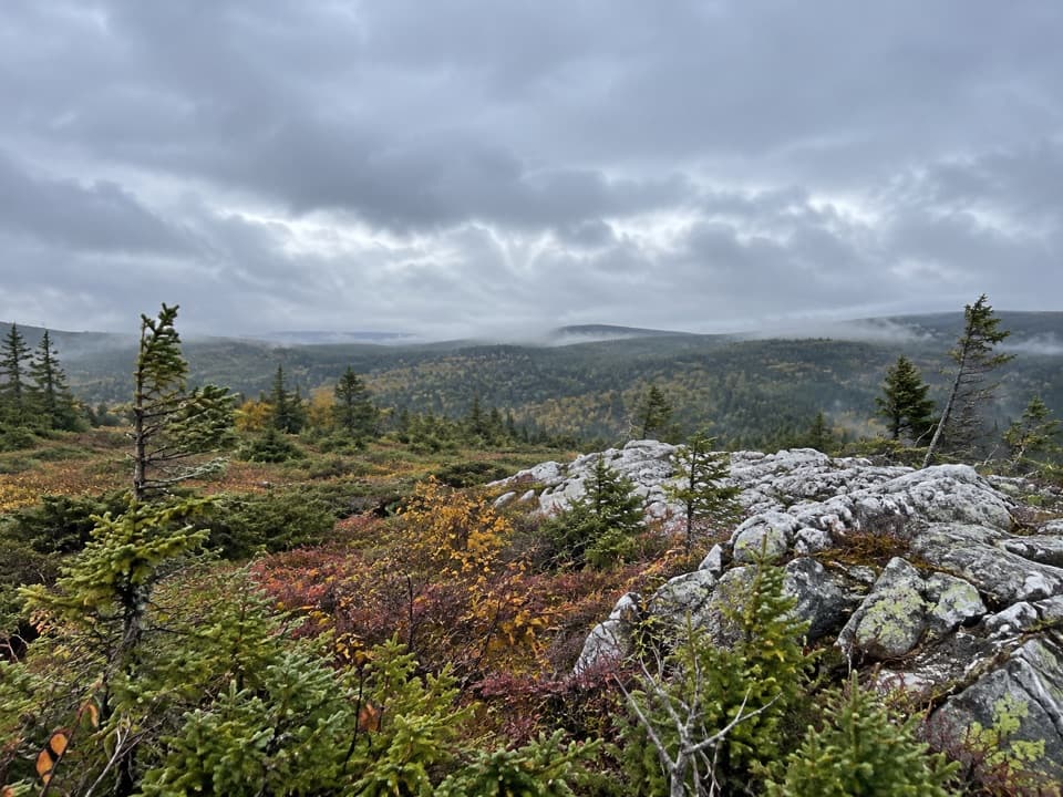 ModerateMica Hill7.9 km · 3.5 hr · 7.5 km awayOpen taiga and quartz outcrops crown a gradual highland climb
 ModerateBroad Cove Mountain2.3 km · 1 hr · 10.4 km awayA steep forest climb ends on a bench above the Atlantic.
 ModerateMary Ann Falls13.8 km · 5.5 hr · 10.6 km awayA 13.9 km old-road hike to a 6 m waterfall.
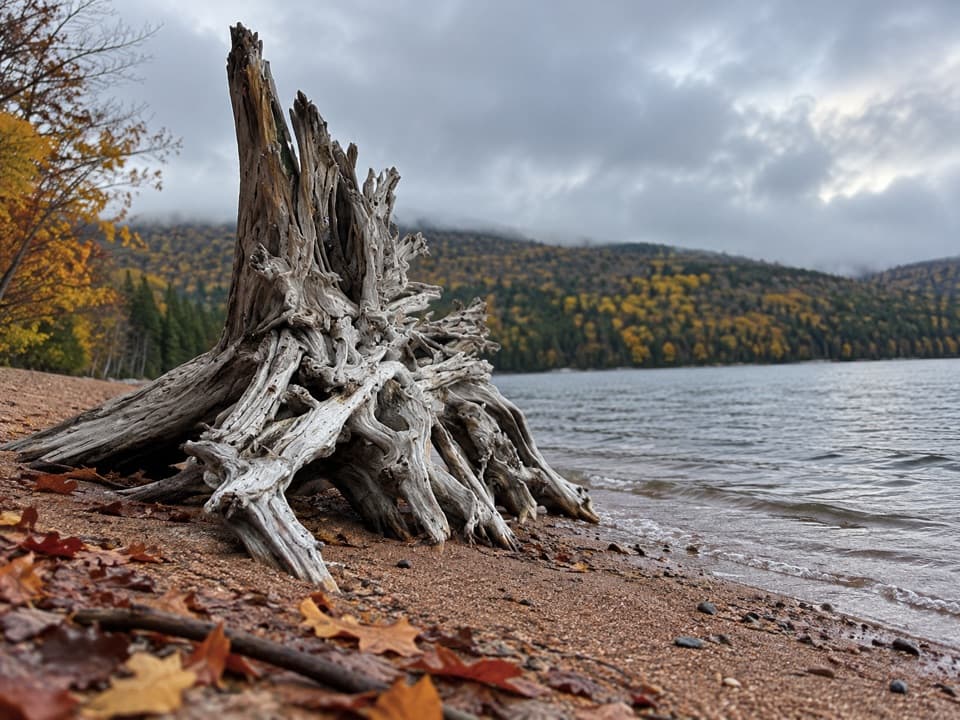 ModerateWarren Lake Trail4.7 km · 1.8 hr · 10.9 km awayA quiet forest loop follows the shore of the park's largest lake.
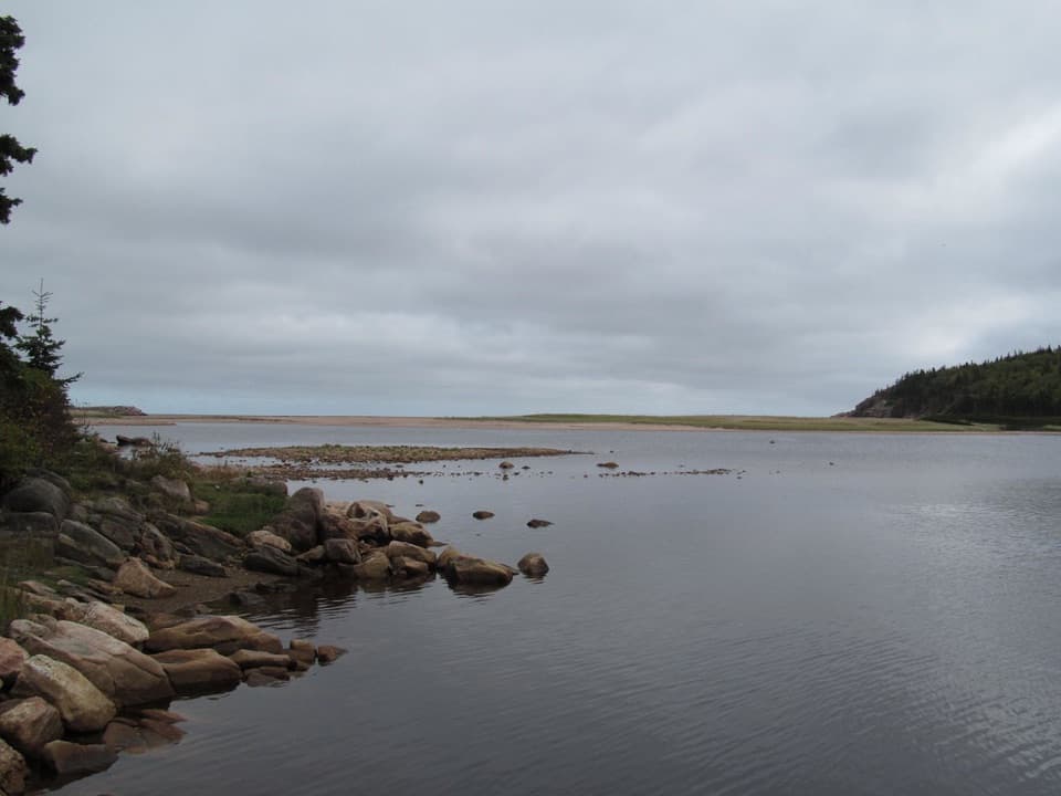 Beach · At the trailheadNeils Brook BeachA short forest walk ends where beach, estuary and harbour meet.
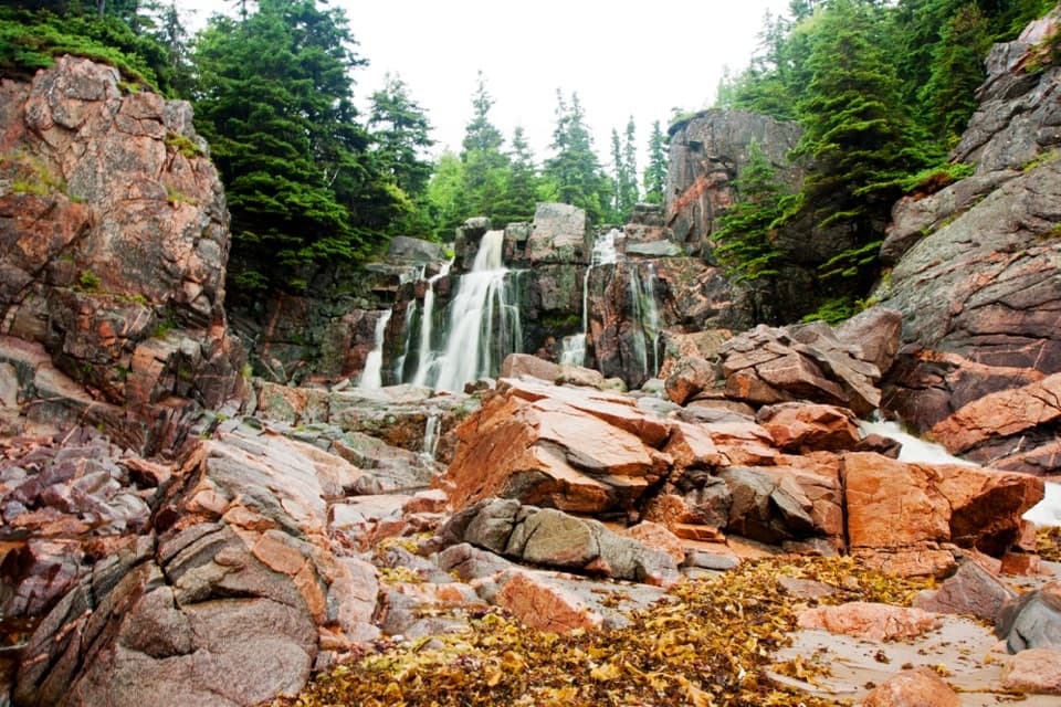 Sight · 3.5 km awayStill Brook FallsAn easy-to-miss cascade beside Black Brook Beach
 Beach · 3.6 km awayBlack Brook BeachA freshwater waterfall meets the Atlantic beneath a pine-topped cliff.
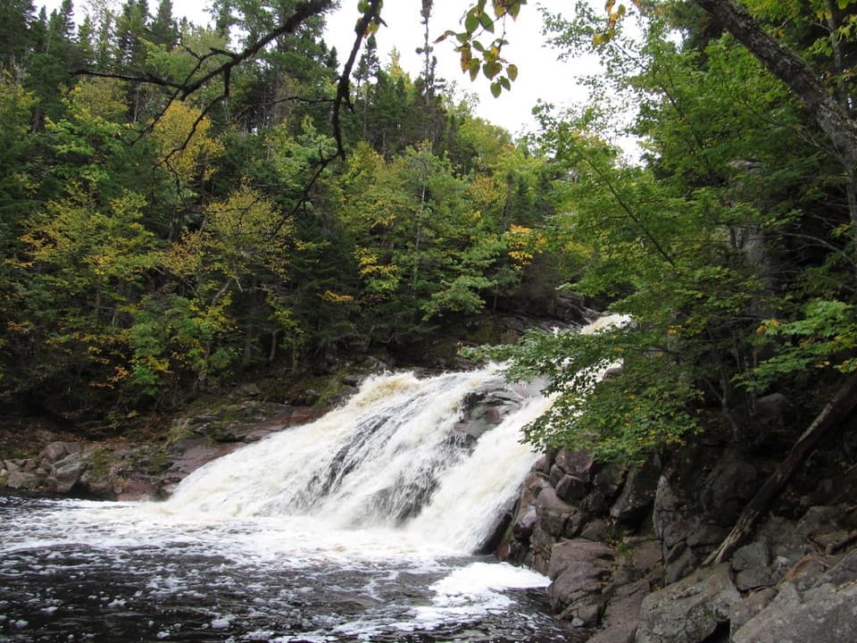 Sight · 5.3 km awayMary Ann FallsA six-metre cascade at the end of a 13.9 km hike.
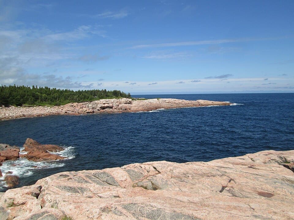 Sight · 6.5 km awayGreen CoveA pink granite headland where Atlantic waves break.
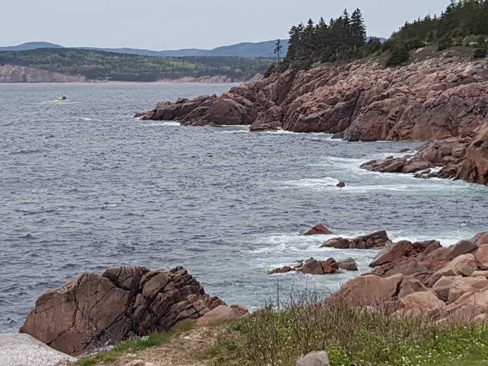 Sight · 8.1 km awayLakie's HeadA rocky Atlantic look-off with seasonal stories of sea and shore.
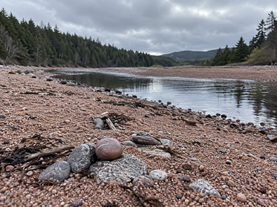 Beach · 10.4 km awayBroad Cove BeachAn ocean swim, then a freshwater rinse in a nearby brook.
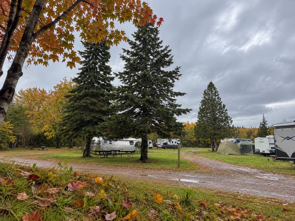 Campground · 10.9 km awayBroad Cove CampgroundA roomy eastern base with a sandy Atlantic cove beside camp.
Parkwolf’s Cape Breton Highlands ranking

The audio tour guide for the drive, plus offline maps, trails, and wildlife heatmaps for when the signal drops.