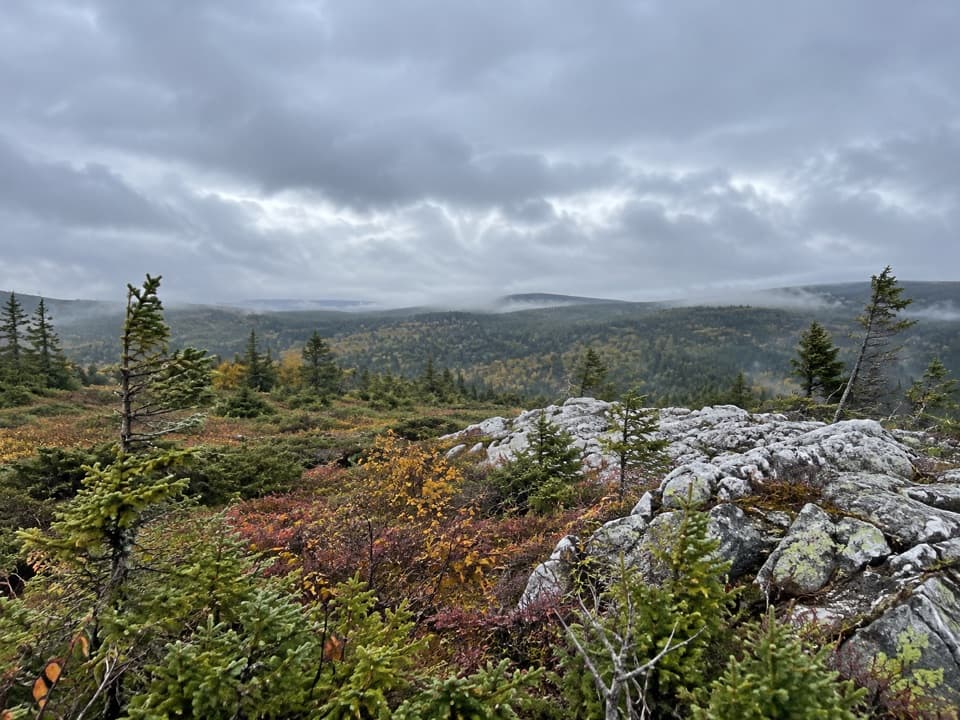
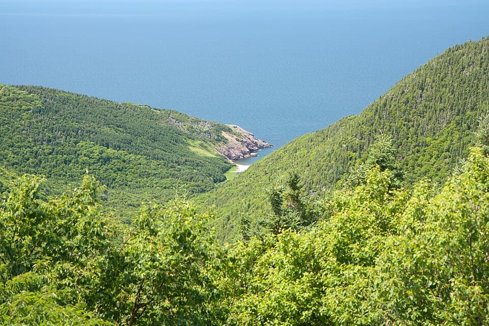
Parking
Use the marked parking lot on Warren Lake Road at the Mary Ann Falls trailhead. The former road to the falls is closed to vehicles.

#9 of 27 trails in Cape Breton Highlands
Cape Breton Highlands National Park, NS
A 13.9 km old-road hike to a 6 m waterfall.
Overview
Map & elevation
Plan your hike

The highest, rockiest slopes around here are a summer buffet for grizzly bears.
Cape Breton Highlands Tour Guide
Parkwolf is a GPS audio tour guide for Cape Breton Highlands National Park. As you drive, it chimes in with what’s ahead: hidden gems, upcoming stops, history, geology, and wildlife, right through your car’s speakers.
See the Cape Breton Highlands audio tourRecorded for this trailhead
Mary Ann Falls Trail“You're approaching the Mary Ann Falls trailhead on Warren Lake Road. Choose this for a full forest hike to a six-metre cascade and pool: the return trip is nearly fourteen kilometres and takes five to six hours.”
Plays as you drive up to this trailhead in the Parkwolf Cape Breton Highlands Tour Guide.
More stories near here in the app
“Fantastic app with many points of information… It’s great to just turn on while you’re driving and it gives you an audio tour of the national Park. We love it!!!!”


Trail guide
Mary Ann Falls is a 13.9 km (8.6 mi) out-and-back through Acadian forest to a 6 m cascade and swimming hole on Mary Ann Brook. This is a half-day hike, not a quick waterfall stop: allow 5 to 6 hours for the walk and time at the falls. The route starts at the Warren Lake Road parking lot and follows a former road corridor; the old drive-in approach is closed to vehicles, so plan to hike the full distance.
You walk the same corridor out and back, with the waterfall as the main payoff rather than a chain of named viewpoints. The surface is uneven in places, and there are long, steep sections. The park rates the trail moderate, but the distance and sustained commitment make it a bigger outing than that label may suggest. The map shows a mostly direct forest route and no named stops along the way. The terrain profile climbs from the trailhead into the 160 m range before dropping toward the brook; the return repeats that rise. Save enough time and energy for the same corridor back.
Part of this route follows the original Cabot Trail alignment. That road was laid out in the 1920s and served as the main route through this part of the Highlands until the coastal alignment was completed in the 1950s. Storm washouts later ended vehicle access, and the corridor was turned into a hiking trail. That history explains why older descriptions talk about driving almost to the falls; they describe a different visit than the one available now.
At the end, a sturdy staircase descends the steep bank to the base of the 6 m waterfall. The pool below is a long-known swimming spot, but this is a remote place and emergency help is not close. Near the brook, remnants of an old iron bridge provide foot passage to the north side. The bridge area above and the base reached by the stairs give you two different views of the falls; take the stairs only if you are comfortable with the steep descent.
Park at the Warren Lake Road trailhead; the marked Warren Lake picnic area is near the start, but no current on-route food or service was established. This is a hiking-only route, not a roadside waterfall pull-off. If you are short on time or looking for an easy stop, pick a shorter walk elsewhere in the park; the approach is a large part of this outing. Plan around the full 5 to 6 hours and the remote setting rather than treating the waterfall as a brief detour.
Wildlife
 180 sightingsMooseMost seen around 5 AMSighting map
 60 sightingsBlack BearMost seen around 6 PMSighting map
 48 sightingsBald EagleMost seen around 8 AMSighting map
 29 sightingsGrey SealMost seen around 7 AMSighting map
 14 sightingsCoyoteMost seen around 8 PMSighting map
 10 sightingsWhite-tailed DeerMost seen around 6 AMSighting map
Sighting maps show where each species has been reported across Cape Breton Highlands. Wildlife moves, so no sighting is guaranteed.
Keep exploring
 ModerateBroad Cove Mountain2.3 km · 1 hr · 0.5 km awayA steep forest climb ends on a bench above the Atlantic.
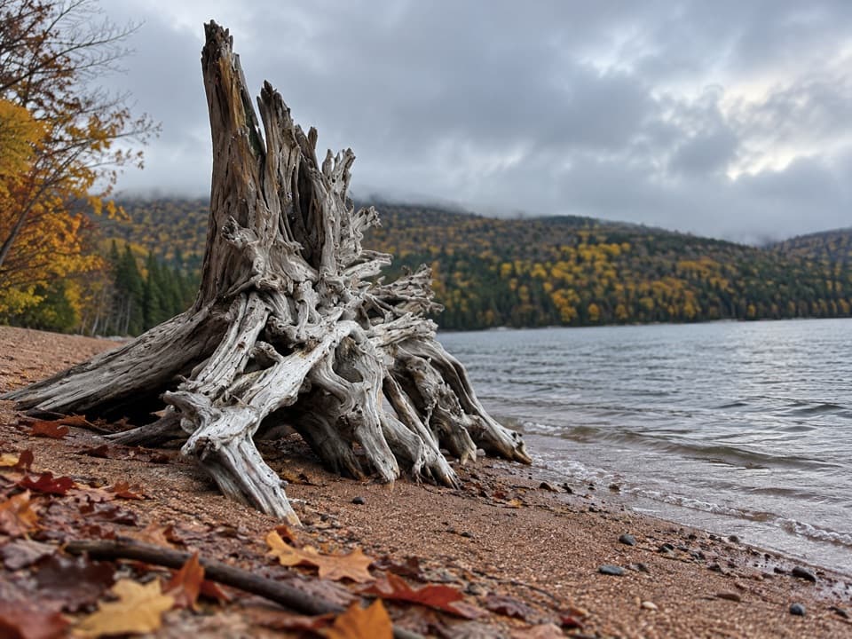 ModerateWarren Lake Trail4.7 km · 1.8 hr · 1.4 km awayA quiet forest loop follows the shore of the park's largest lake.
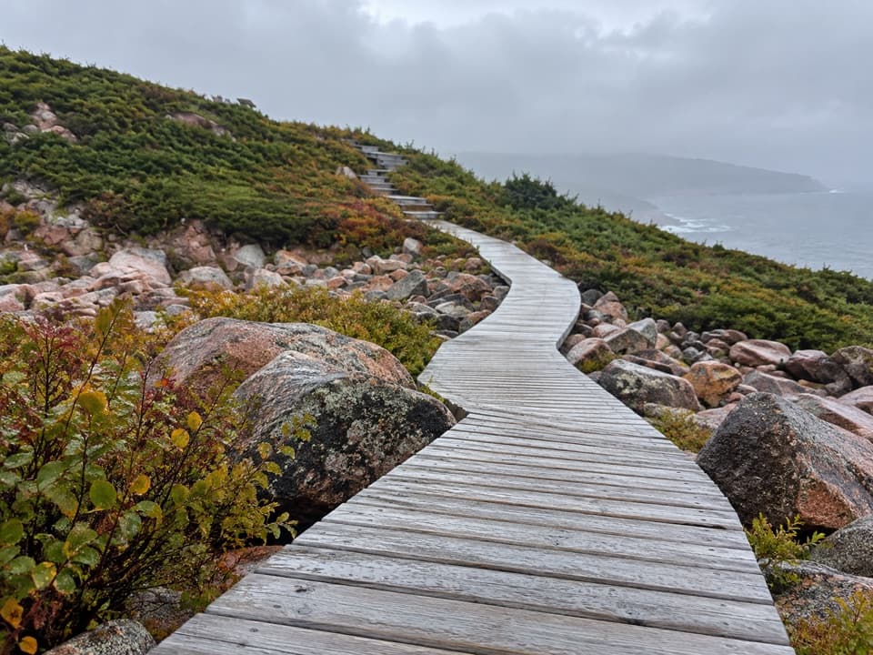 EasyGreen Cove0.2 km · 10 min · 5.2 km awayA short boardwalk leads to a wave-battered granite point.
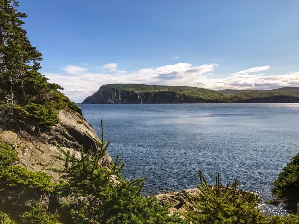 EasyMiddle Head Trail5.3 km · 1.8 hr · 6.4 km awayA mostly level coastal walk to Atlantic-facing headland cliffs.
 ModerateClyburn Valley Trail10 km · 3 hr · 6.8 km awayA gentle river walk to the old mine remains.
 EasyFreshwater Lake Trail1.7 km · 35 min · 7.3 km awayFlat shore paths, a beaver pond, and ocean air in one loop.
 ChallengingFraney (Full Loop)12.9 km · 5.5 hr · 7.3 km awayA difficult 13 km loop to Franey’s canyon and Atlantic views.
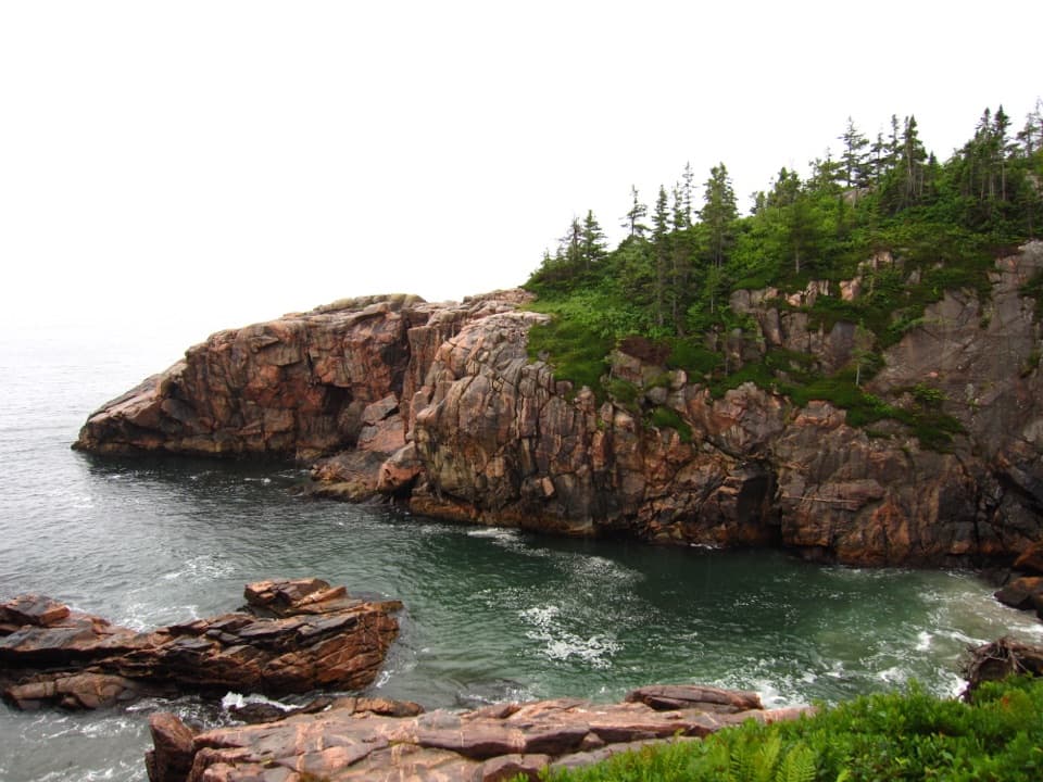 EasyJack Pine2.3 km · 1 hr · 7.7 km awayA short loop to a rare jack pine pocket and Atlantic views.
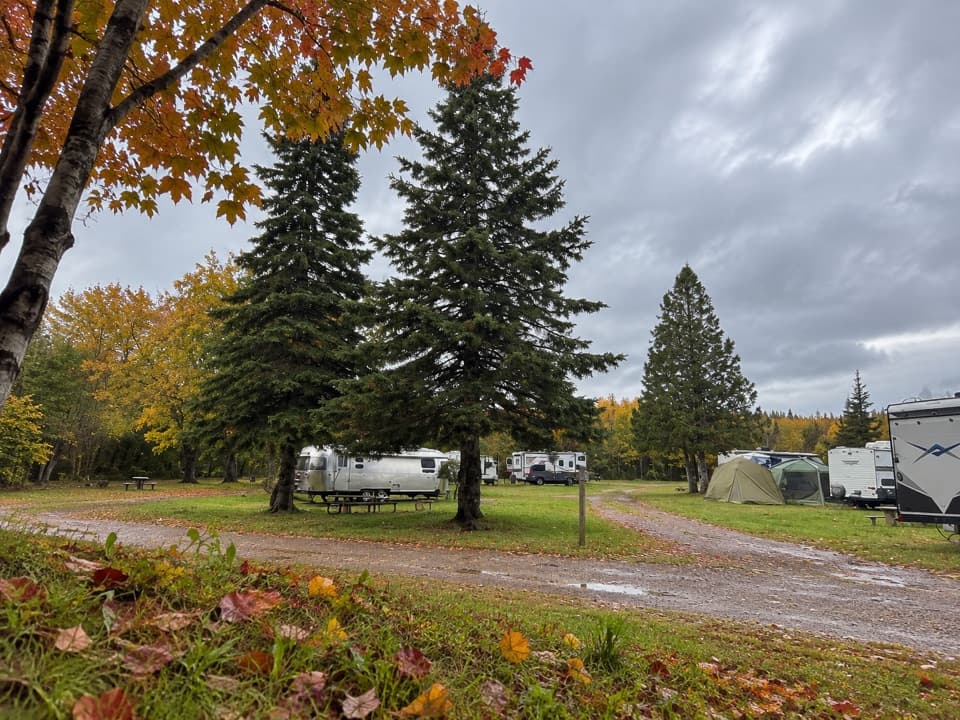 Campground · 0.3 km awayBroad Cove CampgroundA roomy eastern base with a sandy Atlantic cove beside camp.
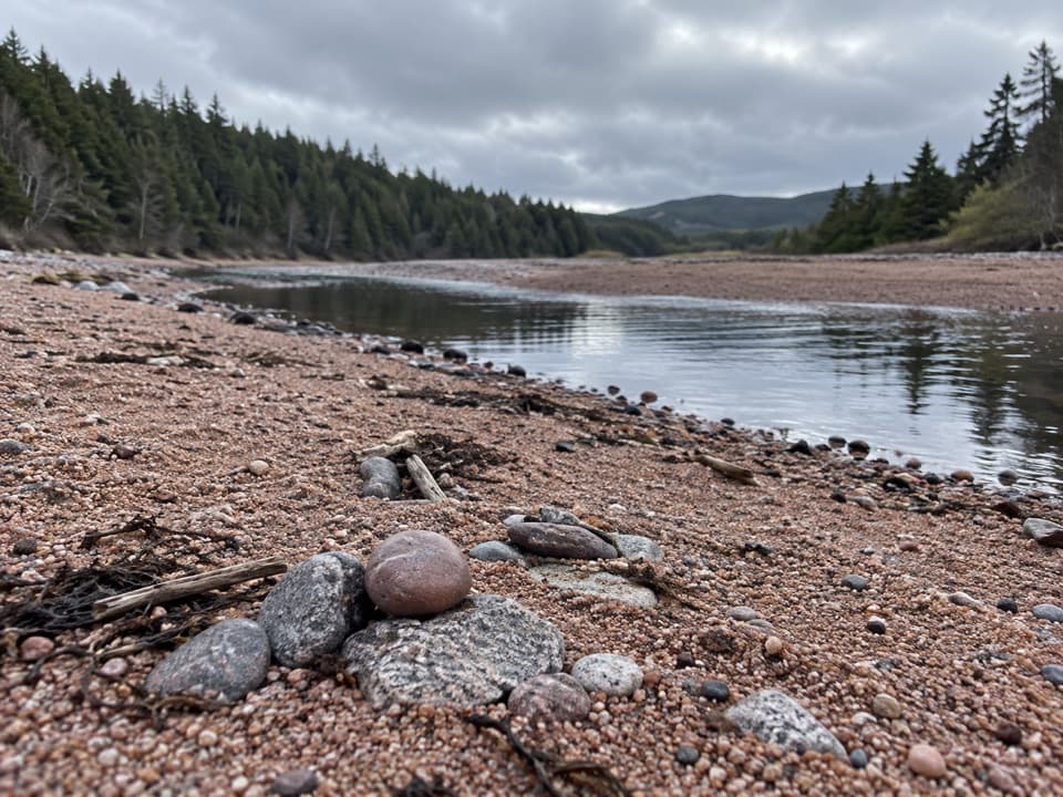 Beach · 1 km awayBroad Cove BeachAn ocean swim, then a freshwater rinse in a nearby brook.
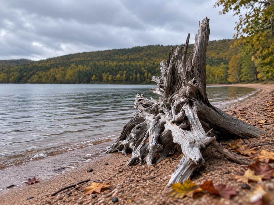 Beach · 1.4 km awayWarren Lake Beach and Picnic AreaA small swim and picnic stop on the park’s largest lake.
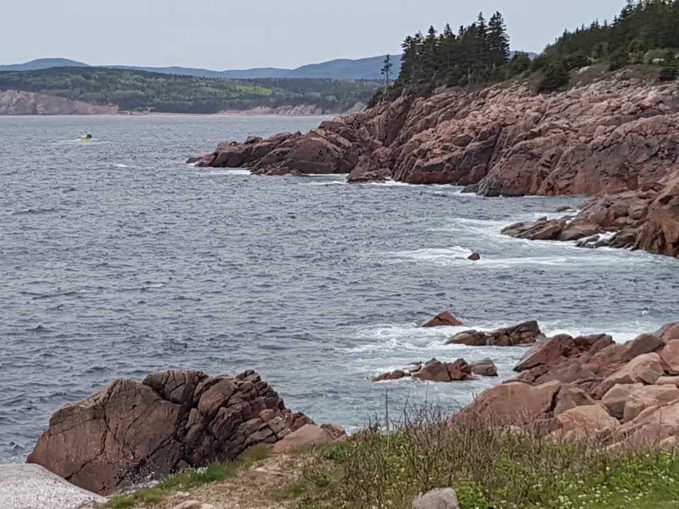 Sight · 3.5 km awayLakie's HeadA rocky Atlantic look-off with seasonal stories of sea and shore.
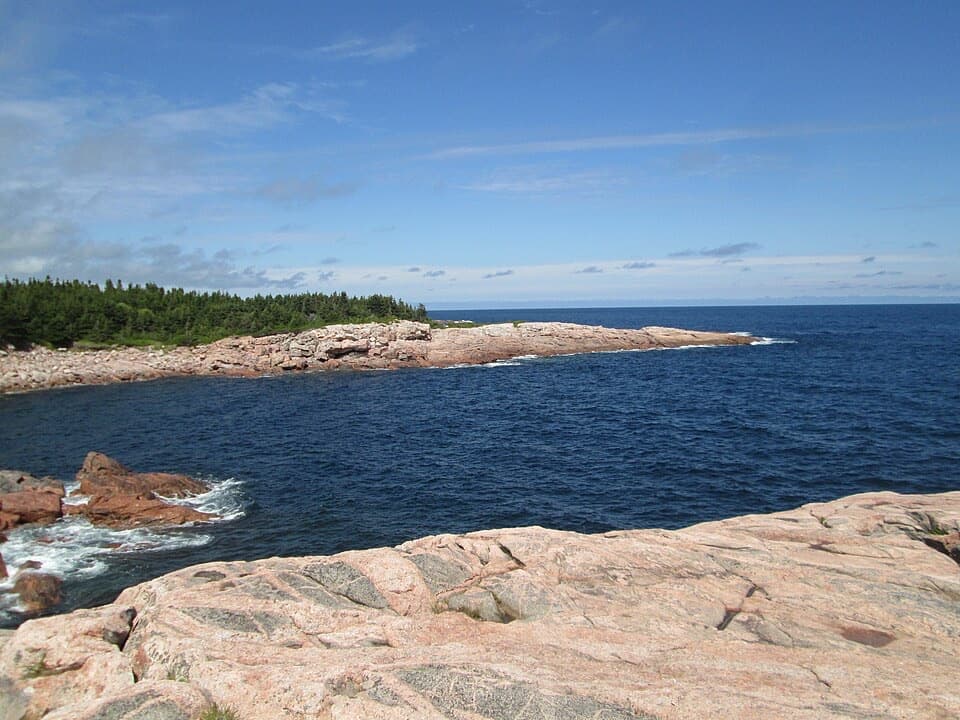 Sight · 5.2 km awayGreen CoveA pink granite headland where Atlantic waves break.
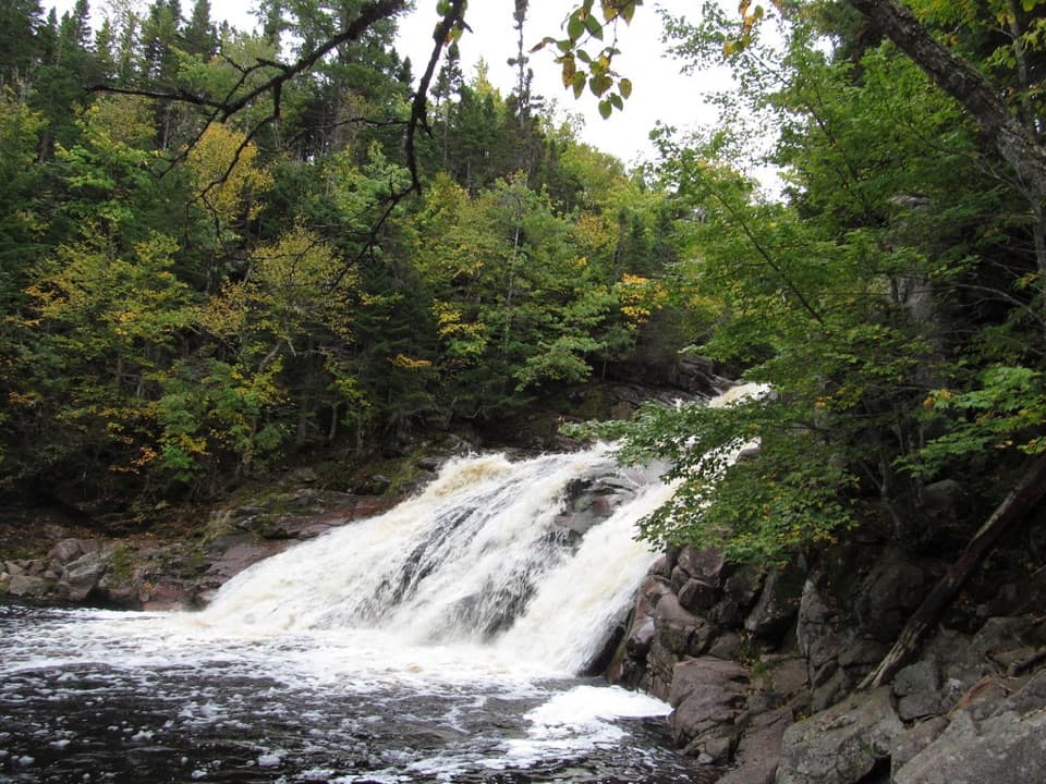 Sight · 5.4 km awayMary Ann FallsA six-metre cascade at the end of a 13.9 km hike.
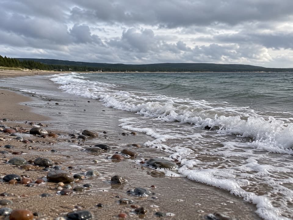 Beach · 6.3 km awayNorth Bay BeachA sandy Atlantic beach with a walk toward the Clyburn estuary.
 Lodging · 6.5 km awayThe Keltic ResortA Middle Head resort with North Bay dining and Atlantic views.
Parkwolf’s Cape Breton Highlands ranking

The audio tour guide for the drive, plus offline maps, trails, and wildlife heatmaps for when the signal drops.