Parking
Use the Beulach Ban Falls parking lot, which Parks Canada identifies as the Aspy trailhead. The falls have a separate short approach.

Cape Breton Highlands National Park, NS
A 6-mile return hike follows the Aspy Fault through mixed forest.
Overview
Map & elevation
Plan your hike

The highest, rockiest slopes around here are a summer buffet for grizzly bears.
Cape Breton Highlands Tour Guide
Parkwolf is a GPS audio tour guide for Cape Breton Highlands National Park. As you drive, it chimes in with what’s ahead: hidden gems, upcoming stops, history, geology, and wildlife, right through your car’s speakers.
See the Cape Breton Highlands audio tourRecorded for this trailhead
Beulach Ban Falls“Beulach Ban Falls is coming up, a twenty-one-metre cascade stepping down broad rock ledges in a wooded hollow.”
Plays as you drive up to this trailhead in the Parkwolf Cape Breton Highlands Tour Guide.
More stories near here in the app
“Fantastic app with many points of information… It’s great to just turn on while you’re driving and it gives you an audio tour of the national Park. We love it!!!!”


Trail guide
Aspy is a 9.6 km (6 mi) out-and-back from the Beulach Ban Falls parking lot, usually a 3–4 hour hike. It follows the Aspy Fault through Acadian and mixed forest, with short climbs, rugged sections and stream crossings. Choose it for a long forest walk and an upper valley view; the waterfall beside the parking lot is a separate stop.
The first 1–2 km are reported as relatively broad and gradual. Farther in, the trail narrows and climbs, with rougher footing on the upper stretches. A viewpoint over the Aspy Fault is about 4.1 km from parking; the return route turns back near 4.8 km and follows the same corridor. Hikers disagree about which chair or post marks the end, so check your distance rather than treating the first marker as the turnaround. A smaller waterfall is reported along the upper walk, but its flow can be slight.
The trail follows the Aspy Fault through a mix of Acadian and older forest. Former farm and logging land is growing back and blending into old growth. Red oak is a notable tree here, and barred or great horned owls may be heard, though wildlife sightings are never guaranteed.
Start at the Beulach Ban Falls parking lot; park entry fee or pass applies. Dogs are allowed on Aspy but must stay leashed in the park. The fault-valley view is the main visual reward, though fog or tree cover can make it modest. This is a good choice for the walk itself, not a guaranteed waterfall spectacle.
Wildlife
 180 sightingsMooseMost seen around 5 AMSighting map
 60 sightingsBlack BearMost seen around 6 PMSighting map
 48 sightingsBald EagleMost seen around 8 AMSighting map
 29 sightingsGrey SealMost seen around 7 AMSighting map
 14 sightingsCoyoteMost seen around 8 PMSighting map
 10 sightingsWhite-tailed DeerMost seen around 6 AMSighting map
Sighting maps show where each species has been reported across Cape Breton Highlands. Wildlife moves, so no sighting is guaranteed.
Keep exploring
 EasyLone Shieling Trail0.6 km · 15 min · 8.1 km awayAn easy 0.4-mile loop through old-growth maple forest to a historic hut.
 EasyMacIntosh Brook Trail1.7 km · 36 min · 10.8 km awayAn easy brookside stroll with a waterfall at the end.
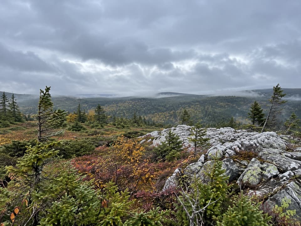 ModerateMica Hill7.9 km · 3.5 hr · 14.8 km awayOpen taiga and quartz outcrops crown a gradual highland climb
 EasyBenjie's Lake Trail3.1 km · 1.3 hr · 16.6 km awayA quiet lake and wooden landing cap this level highland walk.
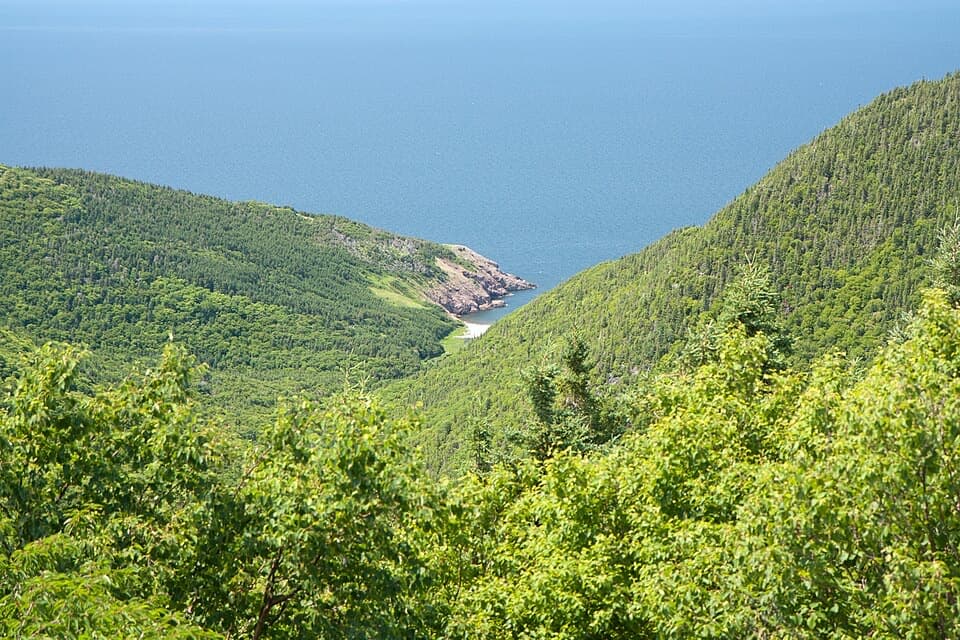 ChallengingFishing Cove12 km · 5.5 hr · 16.7 km awayA 12 km cove hike with a tough climb back out.
 EasyBog Trail0.5 km · 15 min · 17.3 km awayA short, wheelchair-accessible boardwalk through a highland bog.
 EasySkyline Trail8.2 km · 2.8 hr · 20.9 km awayFrom the boardwalk, the Cabot Trail looks toy-sized.
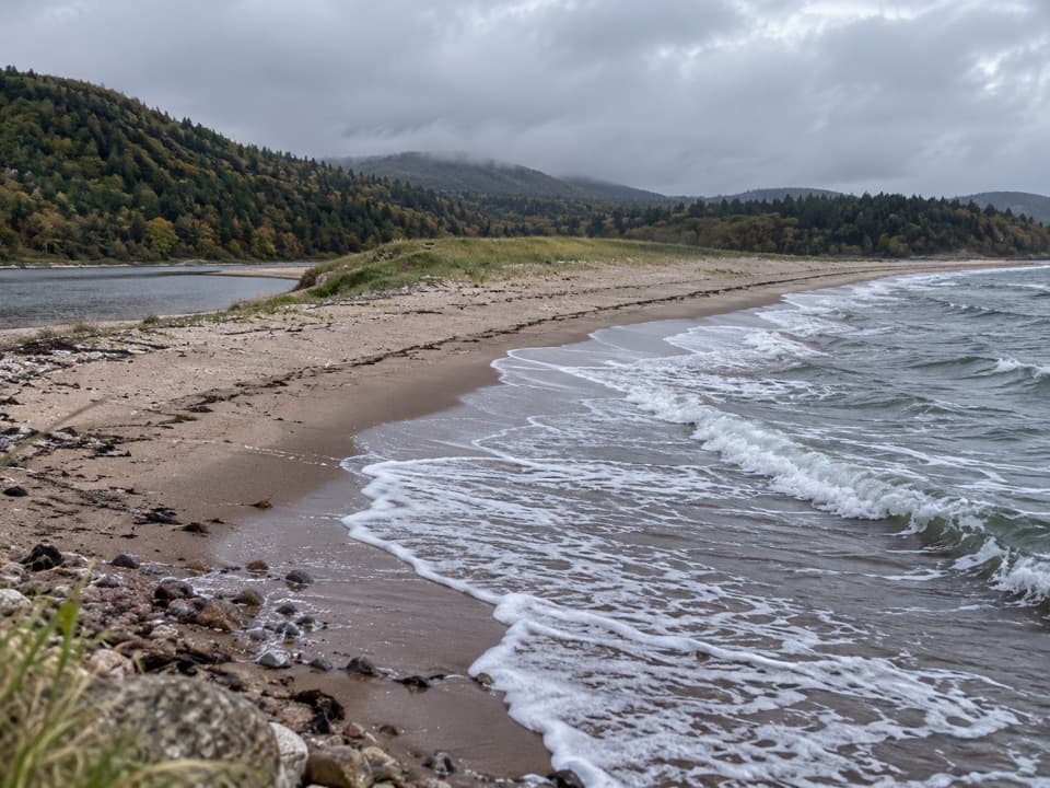 EasyNeils Brook Beach2.5 km · 48 min · 21.4 km awayA short forest walk ends on a sandy shore beside an estuary.
 Sight · 0.1 km awayBeulach Ban FallsA 21-metre cascade framed by gold foliage in autumn.
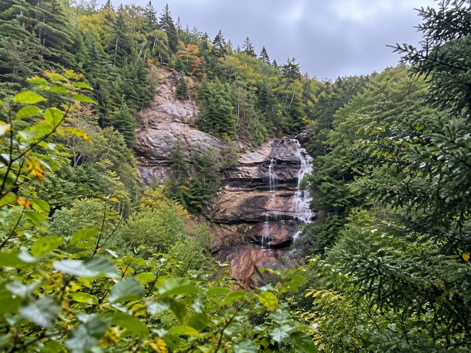 Scenic pullout · 1 km awayNorth Mountain Look-off — Beulach Ban FallsA high roadside view takes in the falls and the whole valley.
 Scenic pullout · 1.3 km awayNorth Mountain Look-off — The Aspy FaultA quick pull-off for Cape Breton's wooded Aspy Fault valley.
 Campground · 2 km awayBig Intervale CampgroundA five-site riverside base for a simple Cabot Trail night.Sight · 8 km awayLone ShielingA little hut with a surprisingly big Cape Breton story.
 Sight · 10.2 km awayMacIntosh Brook FallsA short brookside walk ends at a 10 m forest waterfall.
 Campground · 10.8 km awayMacIntosh Brook Campground and Day Use AreaTen unserviced sites, plus a 1.7 km walk to a waterfall.
 Restaurant · 14.8 km awayRusty Anchor RestaurantSeafood, ocean views and a useful Cabot Trail pause
Parkwolf’s Cape Breton Highlands ranking

The audio tour guide for the drive, plus offline maps, trails, and wildlife heatmaps for when the signal drops.