Acadian in Cape Breton Highlands National Park

#5 of 27 trails in Cape Breton Highlands

Cape Breton Highlands National Park, NS

Acadian

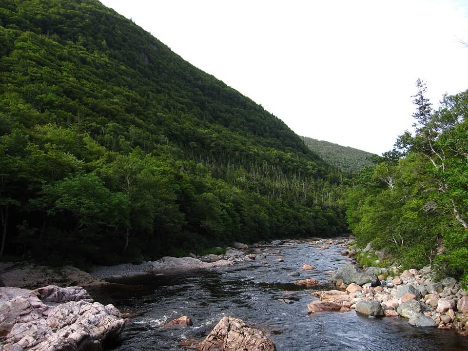
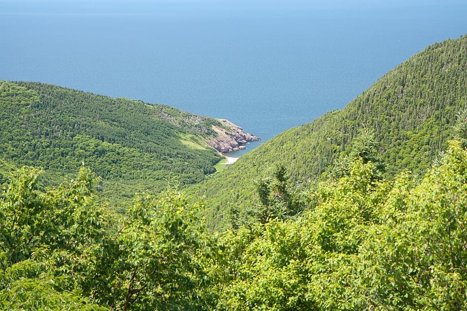
A forest climb to broad views over Chéticamp and the Gulf.

Photo: CC BY 2.0
Length
9.1km
Time
3.8hr
Elev. change
341m
Difficulty
Moderate
  • Loop
  • Dogs allowed
  • High point 362 m

Hear the audio tour

Chéticamp Visitor Centre

Overview

About Acadian

Acadian (L’Acadien) is a moderate hill loop opposite the Chéticamp Visitor Centre, climbing to 365 metres above the Chéticamp River before returning through the highland forest. The published trail length is 8.4 km (5.2 mi), with a typical time of three to four hours. The two official access points sit on opposite sides of the visitor-centre and campground area. The mapped footpath measures about 8.8 km between them; walking the short road connection back to the visitor-centre start makes a complete loop of about 9.1 km (5.6 mi). Leave a half day for it. This is a real hike with a sustained climb and rugged stretches, not a quick lookout walk.

Why go

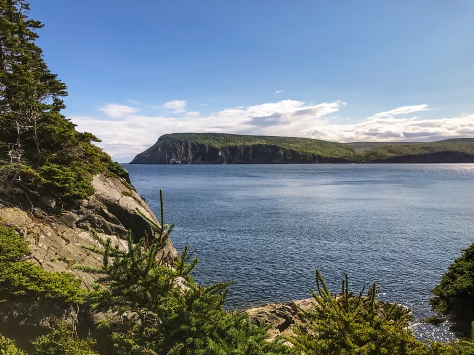
  • Open views over the Chéticamp River valley, coast and highland interior
  • A shaded Roberts Brook section with water crossings

Heads up

  • A longer half-day walk with steady climbs and rugged footing

Map & elevation

The route

Loading the Cape Breton Highlands map
Full map
Elevation21–362 m
TrailheadAcadian Trailhead opposite Chéticamp Visitor Centre46.64686, -60.95020
Keep this map with you offline in the Parkwolf app

Plan your hike

Before you go

Parking

Start at Acadian Trailhead opposite the Chéticamp Visitor Centre; parking is shown in the visitor-centre area. The mapped line closes between the two official access points on about 0.3 km of campground and visitor-centre roads. An on-trail washroom is unconfirmed.

Safety

Steep inclines, rugged footing and stream crossings. Black bears and moose may be encountered; follow park wildlife guidance and keep dogs leashed.

6 active Cape Breton Highlands alerts

  • ClosureCoyote-related area closuresMacIntosh Brook Campground and Trail, Lone Shieling, three Cabot Trail properties, and nearby pull-offs are closed because coyotes have approached people aggressively.Official details
  • InfoSkyline Trail reservation and boardwalk restrictionsA confirmed parking reservation is required to visit Skyline Trail through October 25, 2026, during the park’s busiest season.Official details
See all 6 alerts
A park ranger sits on a dash-mounted phone, talking, as Parkwolf’s Tour Guide plays “Army Cutworm Moths: A Grizzly Bear Buffet” on Grand Loop Road below Dunraven Pass in Yellowstone
Parkwolf Tour GuideThe highest, rockiest slopes around here are a summer buffet for grizzly bears.

Cape Breton Highlands Tour Guide

Your drive to Acadian, narrated.

Parkwolf is a GPS audio tour guide for Cape Breton Highlands National Park. As you drive, it chimes in with what’s ahead: hidden gems, upcoming stops, history, geology, and wildlife, right through your car’s speakers.

See the Cape Breton Highlands audio tour

Recorded for this trailhead

Chéticamp Visitor Centre
0:00 / 0:33
“Chéticamp Visitor Centre is coming up, and I'd stop here if you want help matching a walk to the time you have. Bilingual staff can advise on trails, and interactive displays introduce the park's plants and animals.”

Plays as you drive up to this trailhead in the Parkwolf Cape Breton Highlands Tour Guide.

More stories near here in the app

  • Salmon Pools Trail
  • Le Chemin du Buttereau
  • Les Falaises and Le Buttereau
  • An Island Assembled from Continents
  • 50 audio storiesacross Cape Breton Highlands’s roads, triggered by GPS as you drive
  • Wildlife heatmapsfor Moose, Black Bear, Bald Eagle, and 13 more
  • Works offlinemaps, 27 trails, 38 places, and audio download before you lose signal
  • CarPlay readysimple controls built for the drive
★★★★★
“Fantastic app with many points of information… It’s great to just turn on while you’re driving and it gives you an audio tour of the national Park. We love it!!!!”
JMJamesApp Store review
Download Parkwolf on the App StoreGet Parkwolf on Google Play

4.7 from 8,600+ ratings

Trail guide

Hiking Acadian

Climbing through the forestThe path gains height steadily through changing forest, with benches along the way for a…

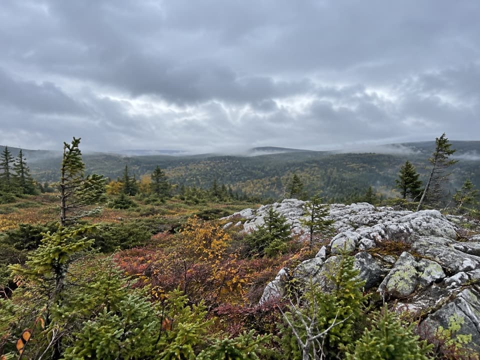
The path gains height steadily through changing forest, with benches along the way for a breather. There are short steep pitches and rougher sections where roots and rocks interrupt the tread. The grade eases at times, but the loop keeps asking you to climb, so expect a moderate workout rather than a flat ramble. Take your time on the uneven parts, especially where the trail meets water.

The high point and the coastThe upper viewpoints are the payoff: from around 365 metres, the land falls away toward the…

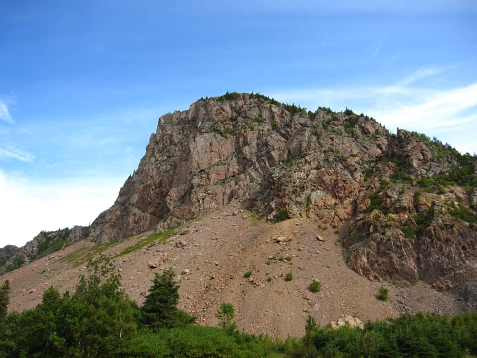
The upper viewpoints are the payoff: from around 365 metres, the land falls away toward the Chéticamp River valley, the Acadian coastline and the park’s highland interior. The view brings river, forest and open water into one sweep. Some low openings are less expansive; keep going to the higher lookout before deciding you’ve seen the best of it. For a photo, include the river mouth and the long shoreline in the same frame so the coast’s curves show against the broad Gulf.

A shaded stretch beside Roberts BrookAnother side of the loop follows and crosses Roberts Brook through hardwoods.

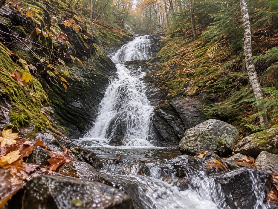
Another side of the loop follows and crosses Roberts Brook through hardwoods. It’s cooler and more enclosed than the open hill, with the sound of water and several crossings breaking up the walk. Short wooden bridges and boardwalk pieces handle some wet ground, but the route also has rugged stream-side sections. Visitors often call this brookside stretch a highlight; it gives the loop a different feel from the climb and the exposed coastal views.

Start, parking and the access connectionBegin at Acadian Trailhead opposite the Chéticamp Visitor Centre; parking is shown in the…

Begin at Acadian Trailhead opposite the Chéticamp Visitor Centre; parking is shown in the visitor-centre area. The route’s other official access point is near Roberts Brook Road. The mapped walk joins those trail ends on roughly 0.3 km of campground and visitor-centre road, which is included in the 5.6-mile total here. On-trail washroom reports conflict, so don’t count on a facility partway around; use a confirmed public restroom before setting out if you need one.

Wildlife and dogsBlack bears and moose use this part of the park, so give wildlife plenty of room and follow the…

Black bears and moose use this part of the park, so give wildlife plenty of room and follow the park’s current wildlife guidance. Dogs are allowed on Acadian but must stay leashed throughout the park. The leash rule matters here both for wildlife and for other hikers using the narrow trail.

Wildlife

Wildlife in Cape Breton Highlands

All Cape Breton Highlands wildlife maps

Sighting maps show where each species has been reported across Cape Breton Highlands. Wildlife moves, so no sighting is guaranteed.

Keep exploring

Near Acadian

See it all on the map

Trails that start nearby

Places near the trailhead

Parkwolf’s Cape Breton Highlands ranking

Top-rated trails in Cape Breton Highlands

All 27 trails
  1. 1Skyline TrailEasy · 8.2 km
  2. 2Franey (Full Loop)Challenging · 12.9 km
  3. 3Middle Head TrailEasy · 5.3 km
  4. 4Mica HillModerate · 7.9 km
  5. 6Fishing CoveChallenging · 12 km
  6. 7Corney Brook TrailEasy · 6.4 km

Take Parkwolf to Cape Breton Highlands.

The audio tour guide for the drive, plus offline maps, trails, and wildlife heatmaps for when the signal drops.

4.7 from 8,600+ ratings

Download Parkwolf on the App StoreGet Parkwolf on Google Play