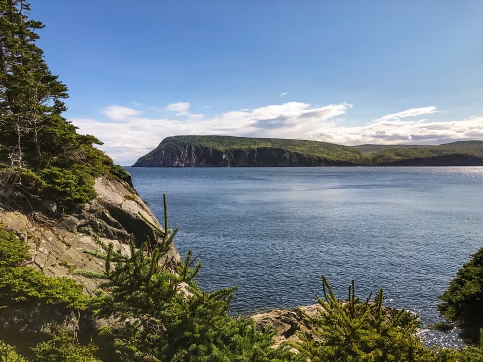
Parking
Follow Paquette Lake Road to the lake-side Mica Hill trailhead and park at Paquette Lake.
#4 of 27 trails in Cape Breton Highlands
Cape Breton Highlands National Park, NS
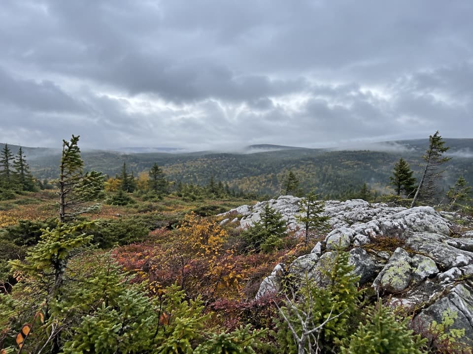
Open taiga and quartz outcrops crown a gradual highland climb
Overview
Map & elevation
Plan your hike

The highest, rockiest slopes around here are a summer buffet for grizzly bears.
Cape Breton Highlands Tour Guide
Parkwolf is a GPS audio tour guide for Cape Breton Highlands National Park. As you drive, it chimes in with what’s ahead: hidden gems, upcoming stops, history, geology, and wildlife, right through your car’s speakers.
See the Cape Breton Highlands audio tourRecorded for this trailhead
Mica Hill“Up ahead is the Mica Hill trailhead at Paquette Lake, for a gradual climb to quartz-and-mica outcrops with wide highland views.”
Plays as you drive up to this trailhead in the Parkwolf Cape Breton Highlands Tour Guide.
More stories near here in the app
“Fantastic app with many points of information… It’s great to just turn on while you’re driving and it gives you an audio tour of the national Park. We love it!!!!”


Trail guide
From Paquette Lake, this is best treated as a 7.9 km (4.9 mi) out-and-back to Mica Hill’s quartz-and-mica outcrops; allow about 3–3.5 hours. Published trail information disagrees: one calls 7.9 km a loop, while another treats it as the return distance and mentions a short Paquette Lake loop. The mapped core reaches the outcrop after about 3.9 km, so the lake-side loop is optional and not counted here.
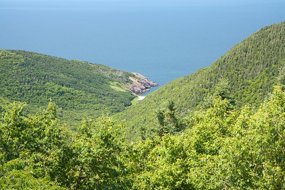
The walk starts on broad gravel with a gradual climb through Acadian mixed forest. Viewing platforms and benches bring early openings toward North Mountain, Tenerife Mountain, Sugarloaf and Money Point; farther up, the trees thin into stunted taiga and open barrens.
A narrower footpath leads onto the wind-exposed plateau and the quartz-and-mica outcrops. From here, the panorama spans the barrens, Aspy fault, coastal villages and the northern Cape Breton mountains. The rocky crest is the trail’s main reward, so leave time to explore it before returning.
The outcrops mark a small historic prospect. In 1882, the Scotian Mining Company sank test pits on a nearby barren and found good-quality muscovite mica. A land-ownership dispute soon halted the effort; an 1885 Geological Survey report referred to the site as the “Mica Mine,” though substantial production is not documented.
The upper trail is narrower, rockier and more exposed than the lower gravel approach; it can be muddy after rain. Markers near the crest are low or faint in places, and some hikers have found the return turn easy to miss. Check the continuation as you reach the outcrop before heading back. Weather shifts quickly on the plateau, and no on-route water source is confirmed. Keep dogs leashed throughout the park.
The change from mixed forest to stunted taiga is part of the walk’s character. Hikers have reported pitcher plants and reindeer lichen in the open terrain, and a loon at the pond near the start; sightings vary with season and conditions.
Wildlife
 180 sightingsMooseMost seen around 5 AMSighting map
 60 sightingsBlack BearMost seen around 6 PMSighting map
 48 sightingsBald EagleMost seen around 8 AMSighting map
 29 sightingsGrey SealMost seen around 7 AMSighting map
 14 sightingsCoyoteMost seen around 8 PMSighting map
 10 sightingsWhite-tailed DeerMost seen around 6 AMSighting map
Sighting maps show where each species has been reported across Cape Breton Highlands. Wildlife moves, so no sighting is guaranteed.
Keep exploring
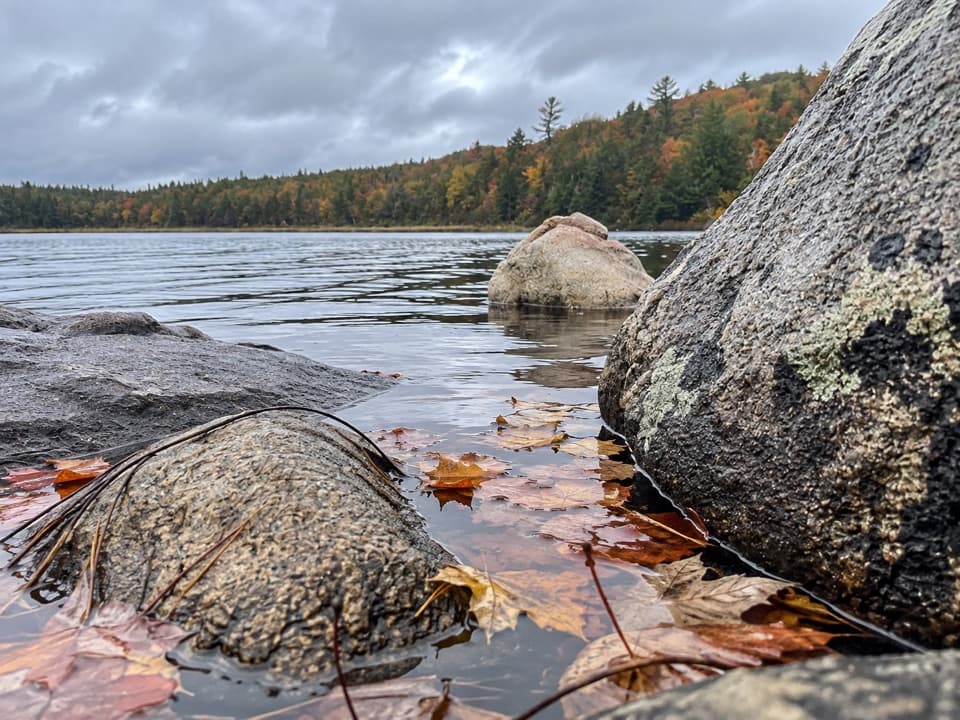
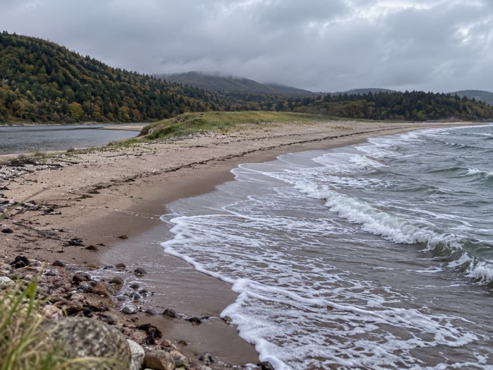 EasyNeils Brook Beach2.5 km · 48 min · 7.5 km awayA short forest walk ends on a sandy shore beside an estuary.
 EasyJigging Cove Lake Trail2.4 km · 1 hr · 8.4 km awayA short lake loop for birders who don't mind wet footing.
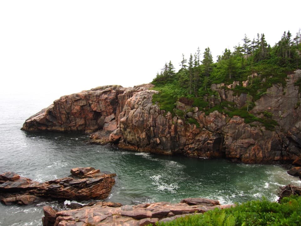 EasyJack Pine2.3 km · 1 hr · 9.9 km awayA short loop to a rare jack pine pocket and Atlantic views.EasyCoastal Trail (Black Brook Section)1.3 km · 45 min · 9.9 km awayA short, rocky route to Squeaker Hole
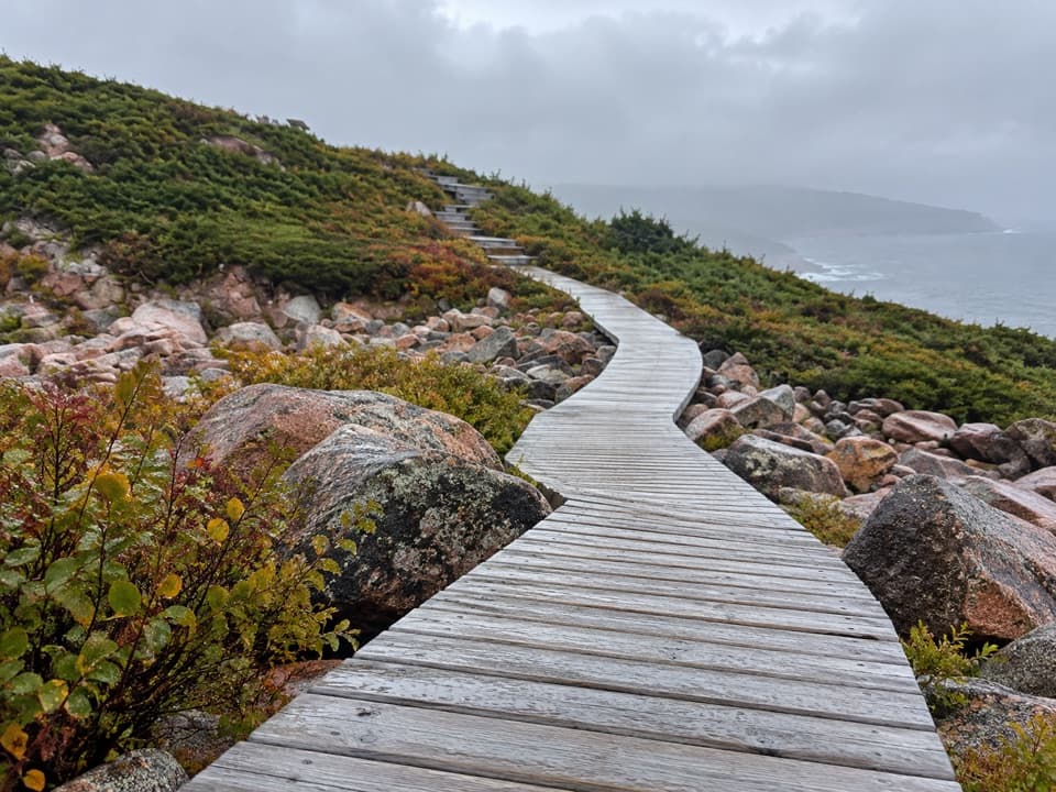 EasyGreen Cove0.2 km · 10 min · 12.5 km awayA short boardwalk leads to a wave-battered granite point.
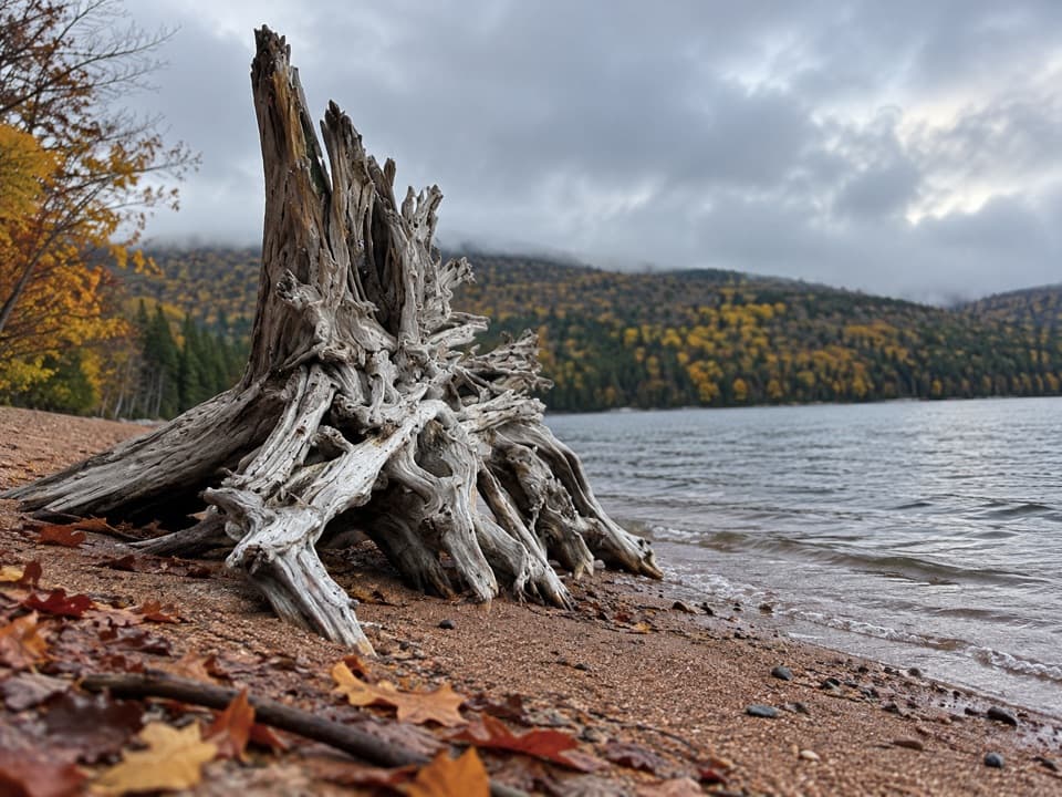 ModerateWarren Lake Trail4.7 km · 1.8 hr · 14 km awayA quiet forest loop follows the shore of the park's largest lake.
 ModerateBroad Cove Mountain2.3 km · 1 hr · 14.1 km awayA steep forest climb ends on a bench above the Atlantic.
 ModerateMary Ann Falls13.8 km · 5.5 hr · 14.5 km awayA 13.9 km old-road hike to a 6 m waterfall.
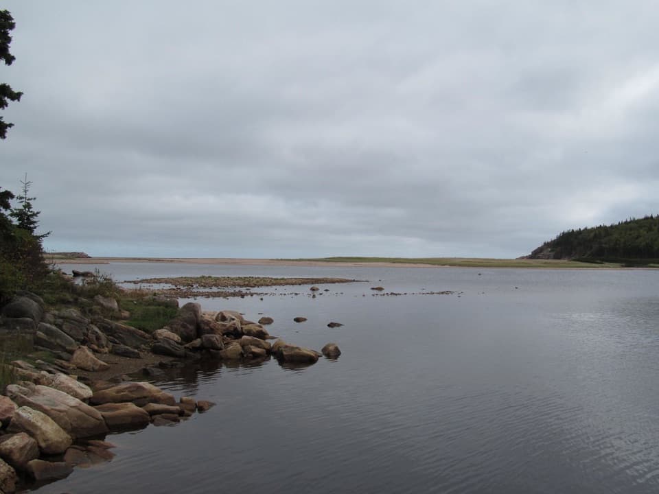 Beach · 7.5 km awayNeils Brook BeachA short forest walk ends where beach, estuary and harbour meet.
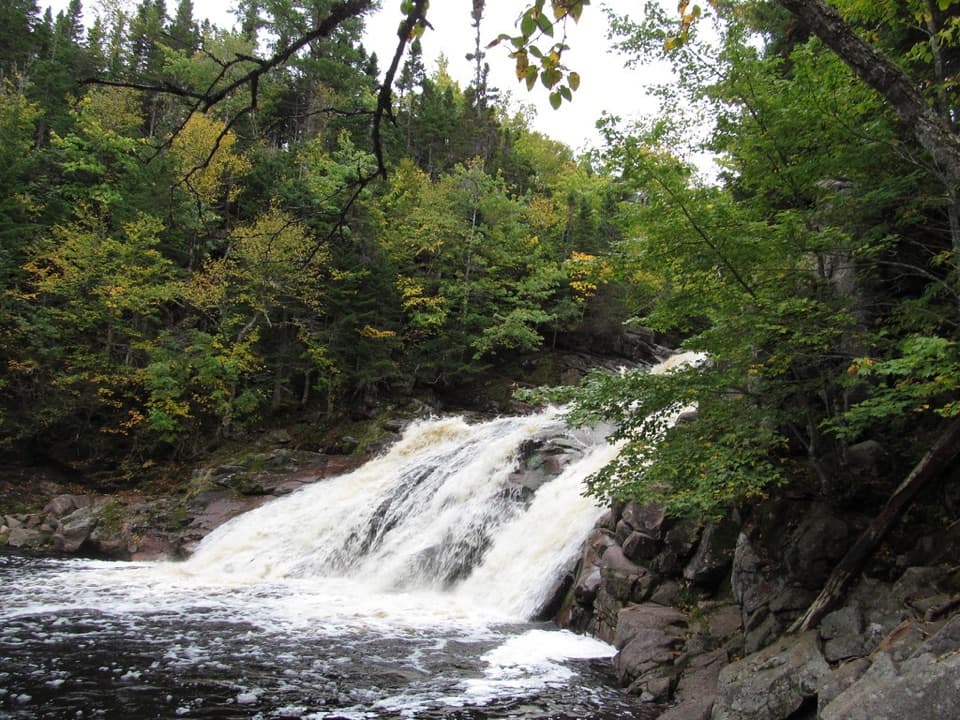 Sight · 9.8 km awayMary Ann FallsA six-metre cascade at the end of a 13.9 km hike.
 Beach · 10 km awayBlack Brook BeachA freshwater waterfall meets the Atlantic beneath a pine-topped cliff.
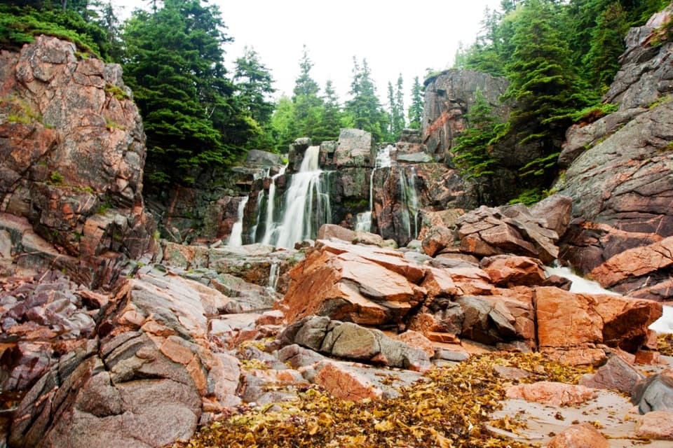 Sight · 10.1 km awayStill Brook FallsAn easy-to-miss cascade beside Black Brook Beach
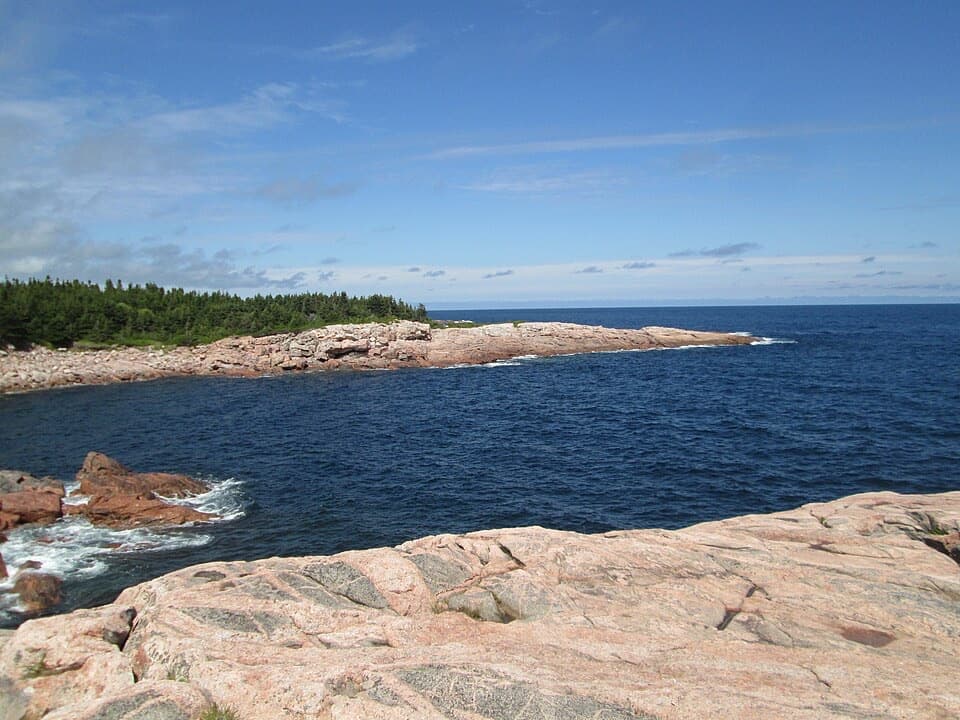 Sight · 12.6 km awayGreen CoveA pink granite headland where Atlantic waves break.
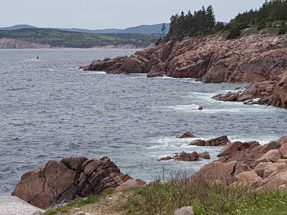 Sight · 13.5 km awayLakie's HeadA rocky Atlantic look-off with seasonal stories of sea and shore.
 Campground · 13.7 km awayBig Intervale CampgroundA five-site riverside base for a simple Cabot Trail night.
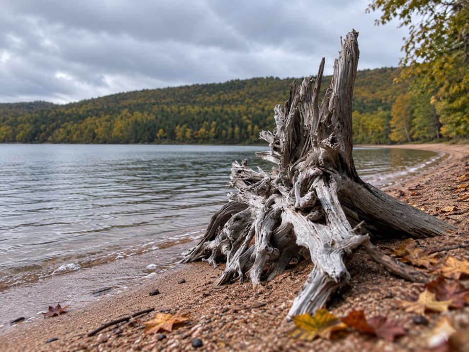 Beach · 14.1 km awayWarren Lake Beach and Picnic AreaA small swim and picnic stop on the park’s largest lake.
Parkwolf’s Cape Breton Highlands ranking

The audio tour guide for the drive, plus offline maps, trails, and wildlife heatmaps for when the signal drops.