Parking
Turn off the Cabot Trail just north of Clyburn River and follow Franey Road, the fire-access road, about 1 km to the small parking area at the end. The lot can fill during busy summer and fall periods; have a backup plan if it is full.

#2 of 27 trails in Cape Breton Highlands
Cape Breton Highlands National Park, NS
A difficult 13 km loop to Franey’s canyon and Atlantic views.
Overview
Map & elevation
Plan your hike

The highest, rockiest slopes around here are a summer buffet for grizzly bears.
Cape Breton Highlands Tour Guide
Parkwolf is a GPS audio tour guide for Cape Breton Highlands National Park. As you drive, it chimes in with what’s ahead: hidden gems, upcoming stops, history, geology, and wildlife, right through your car’s speakers.
See the Cape Breton Highlands audio tourRecorded for this trailhead
Franey“You're nearing the access road for Franey; the trailhead is about a kilometre along Franey Road. Choose this for a hard hike to a summit overlooking Clyburn Brook canyon and the Atlantic coast.”
Plays as you drive up to this trailhead in the Parkwolf Cape Breton Highlands Tour Guide.
More stories near here in the app
“Fantastic app with many points of information… It’s great to just turn on while you’re driving and it gives you an audio tour of the national Park. We love it!!!!”


Trail guide
Franey (Full Loop) is a difficult 13 km (8 mi) circuit from Franey Road to the mountain summit and back. If you want a hard half-day hike with a big summit payoff, this is one of the park’s strongest choices. Allow 5–6 hours; steep climbing and rugged sections make it a real day out. The separate lower loop is 4.5 km (2.7 mi) and takes about 1.5–2 hours, so make sure your map matches the route you intend to walk.
The climb rises steadily through forest, changing from Acadian to boreal woodland as you gain elevation. The grade and rough stretches are the work of the hike, but they give the summit view room to land. Moose are often seen in this area, though wildlife sightings are never guaranteed.
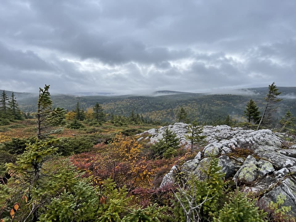
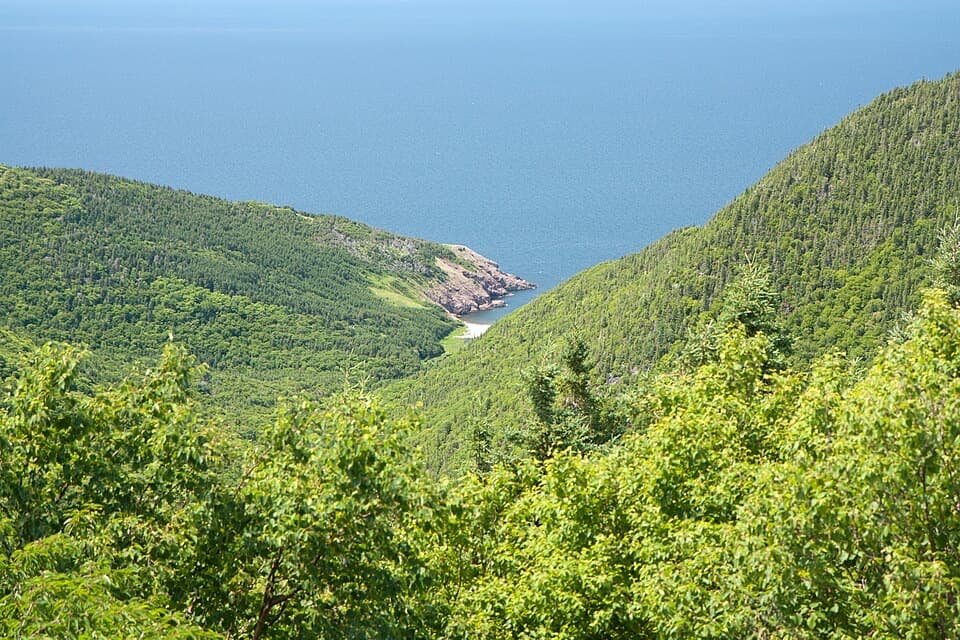
Large rocks give you a place to rest at the top. The 360-degree view takes in Clyburn Brook canyon, the Atlantic coast from Cape Smokey to Ingonish, the inland mountains and Franey’s rocky face. Look down to the river winding through the valley 423 metres below. For a photo, leave some of the summit rocks or trees in the foreground so the canyon’s scale comes through.
Turn off the Cabot Trail just north of Clyburn River and follow Franey Road, a fire-access road, about 1 km to the small parking area at the end. The lot can fill during busy summer and fall periods, so have a backup plan if you arrive to a full lot.
Dogs may accompany you on Franey but must stay on leash throughout the park. Keep young children away from the steep summit cliffs. The lower loop is a shorter Franey option if the full route’s distance or climbing is more than you want.
Wildlife
 180 sightingsMooseMost seen around 5 AMSighting map
 60 sightingsBlack BearMost seen around 6 PMSighting map
 48 sightingsBald EagleMost seen around 8 AMSighting map
 29 sightingsGrey SealMost seen around 7 AMSighting map
 14 sightingsCoyoteMost seen around 8 PMSighting map
 10 sightingsWhite-tailed DeerMost seen around 6 AMSighting map
Sighting maps show where each species has been reported across Cape Breton Highlands. Wildlife moves, so no sighting is guaranteed.
Keep exploring
 ModerateClyburn Valley Trail10 km · 3 hr · 0.9 km awayA gentle river walk to the old mine remains.
 ModerateFreshwater Lake Look-off0.3 km · 10 min · 2.2 km awayA short stair climb opens onto a lake-and-coast panorama.
 EasyFreshwater Lake Trail1.7 km · 35 min · 2.7 km awayFlat shore paths, a beaver pond, and ocean air in one loop.
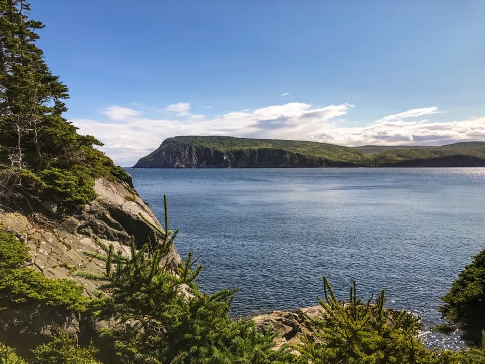 EasyMiddle Head Trail5.3 km · 1.8 hr · 3.9 km awayA mostly level coastal walk to Atlantic-facing headland cliffs.
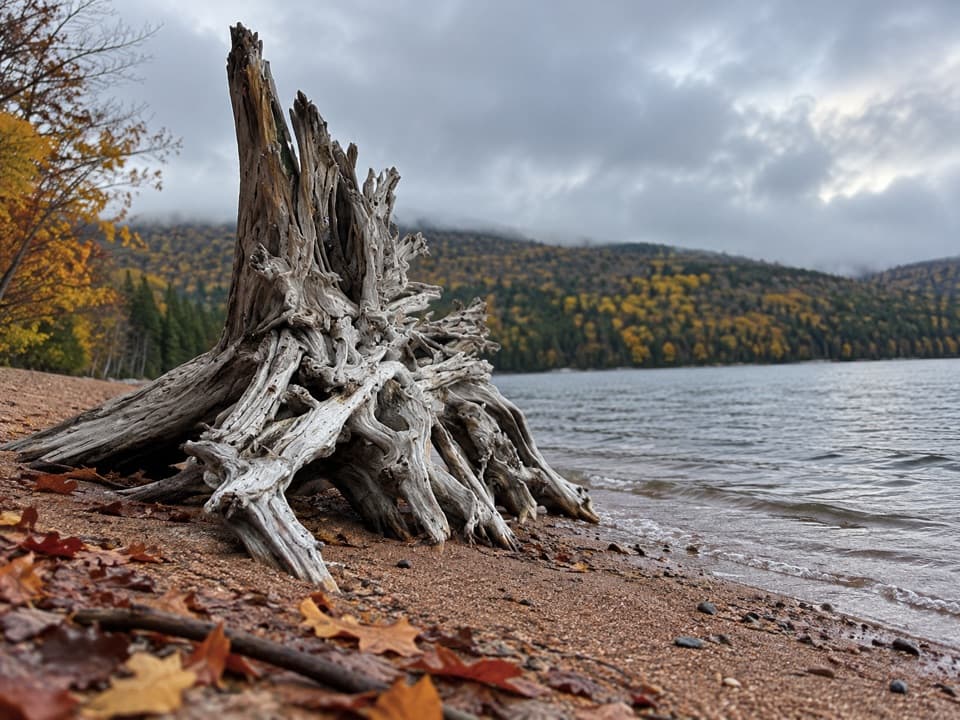 ModerateWarren Lake Trail4.7 km · 1.8 hr · 6.5 km awayA quiet forest loop follows the shore of the park's largest lake.
 ModerateBroad Cove Mountain2.3 km · 1 hr · 7.2 km awayA steep forest climb ends on a bench above the Atlantic.
 ModerateMary Ann Falls13.8 km · 5.5 hr · 7.3 km awayA 13.9 km old-road hike to a 6 m waterfall.
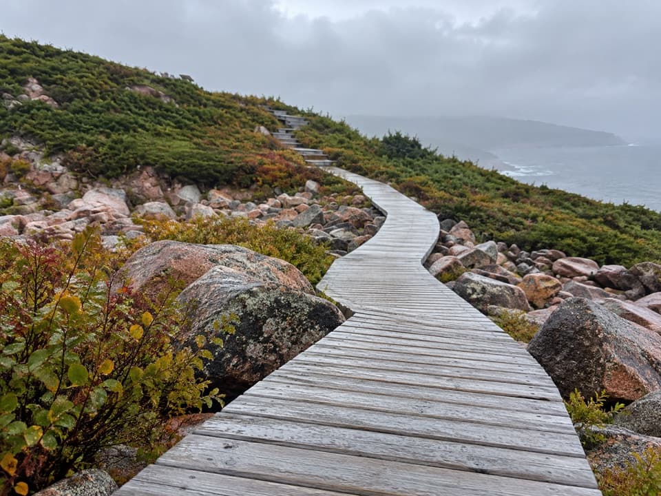 EasyGreen Cove0.2 km · 10 min · 12.5 km awayA short boardwalk leads to a wave-battered granite point.
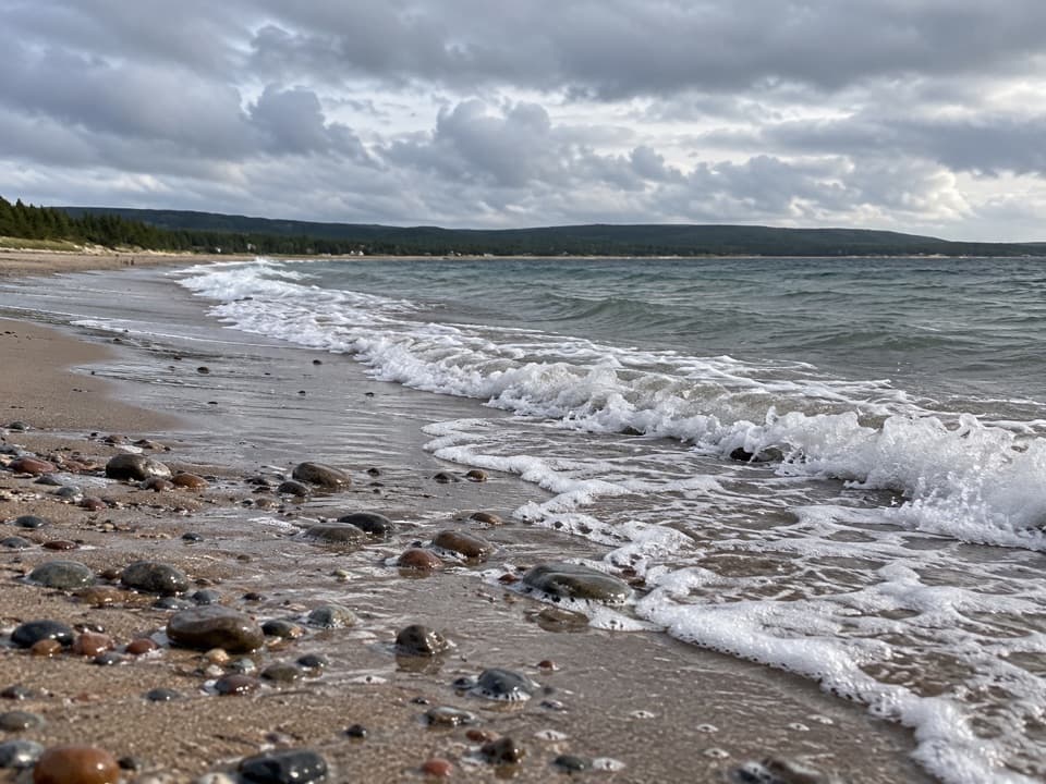 Beach · 1.3 km awayNorth Bay BeachA sandy Atlantic beach with a walk toward the Clyburn estuary.
 Campground · 1.8 km awayIngonish Beach CampgroundA campsite with showers and two beach-view oTENTiks.
 Visitor center · 2.3 km awayIngonish Visitor CentreStart here for maps, trail advice, and a park pass.
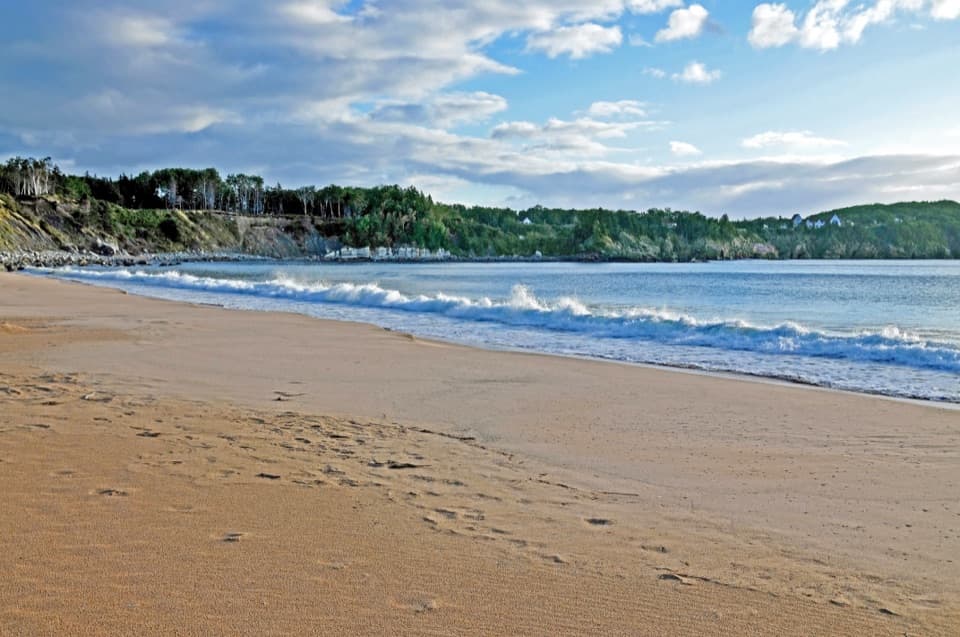 Beach · 2.7 km awayIngonish Beach and Freshwater LakePick ocean or lake swimming, then add a short shoreline loop.
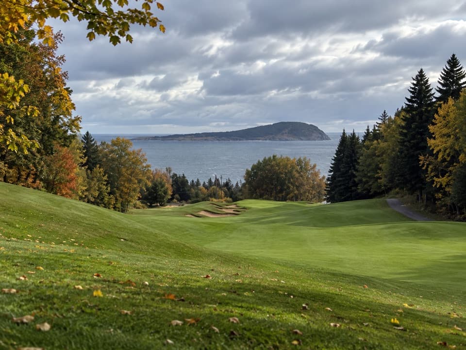 Sight · 2.9 km awayHighlands LinksA hilly Thompson course with ocean views and Scottish hole names
 Lodging · 3.1 km awayThe Keltic ResortA Middle Head resort with North Bay dining and Atlantic views.
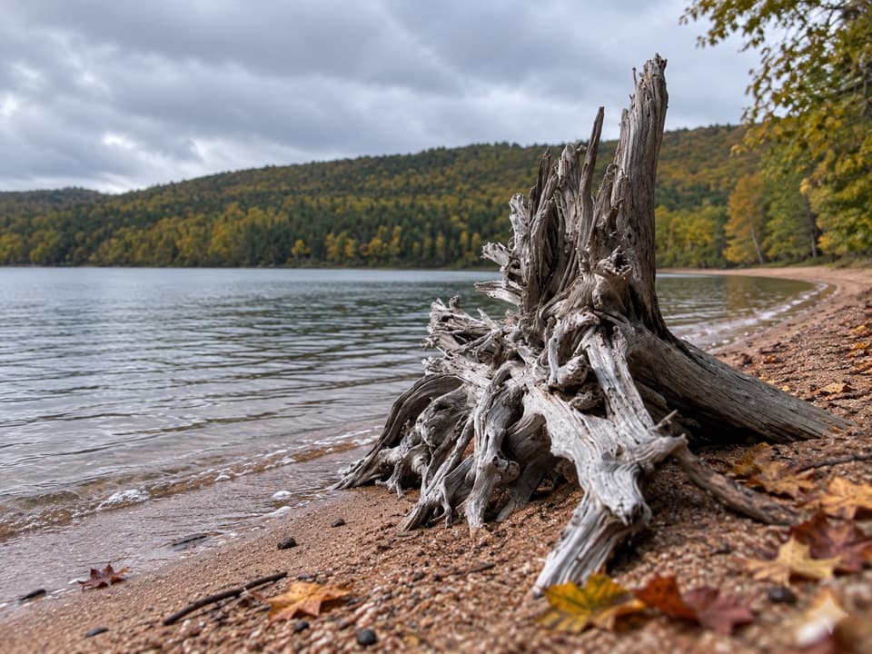 Beach · 6.5 km awayWarren Lake Beach and Picnic AreaA small swim and picnic stop on the park’s largest lake.
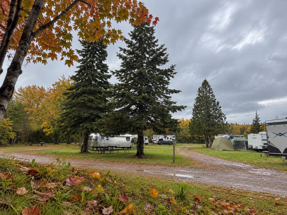 Campground · 7 km awayBroad Cove CampgroundA roomy eastern base with a sandy Atlantic cove beside camp.
Parkwolf’s Cape Breton Highlands ranking

The audio tour guide for the drive, plus offline maps, trails, and wildlife heatmaps for when the signal drops.