Parking
Use the Benjie's Lake trailhead on the Cabot Trail at the top of French Mountain (20836 Cabot Trail). Parking is available at the access; lot size and overflow details were not found.

Cape Breton Highlands National Park, NS
A quiet lake and wooden landing cap this level highland walk.
Overview
Map & elevation
Plan your hike

The highest, rockiest slopes around here are a summer buffet for grizzly bears.
Cape Breton Highlands Tour Guide
Parkwolf is a GPS audio tour guide for Cape Breton Highlands National Park. As you drive, it chimes in with what’s ahead: hidden gems, upcoming stops, history, geology, and wildlife, right through your car’s speakers.
See the Cape Breton Highlands audio tourRecorded for this trailhead
Benjie's Lake Trail“Up ahead is the Benjie's Lake trailhead, for a mostly level walk through wet barrens and evergreen forest to a small highland lake.”
Plays as you drive up to this trailhead in the Parkwolf Cape Breton Highlands Tour Guide.
More stories near here in the app
“Fantastic app with many points of information… It’s great to just turn on while you’re driving and it gives you an audio tour of the national Park. We love it!!!!”


Trail guide
Benjie's Lake Trail is a 3 km (1.9-mile) out-and-back from the Cabot Trail atop French Mountain to a small highland lake. Parks Canada rates it easy and level overall; allow 1 to 1.5 hours. It suits a low-effort lake visit rather than a long hike or summit viewpoint. The listed 400 m is the trail's elevation, not the amount of climbing.
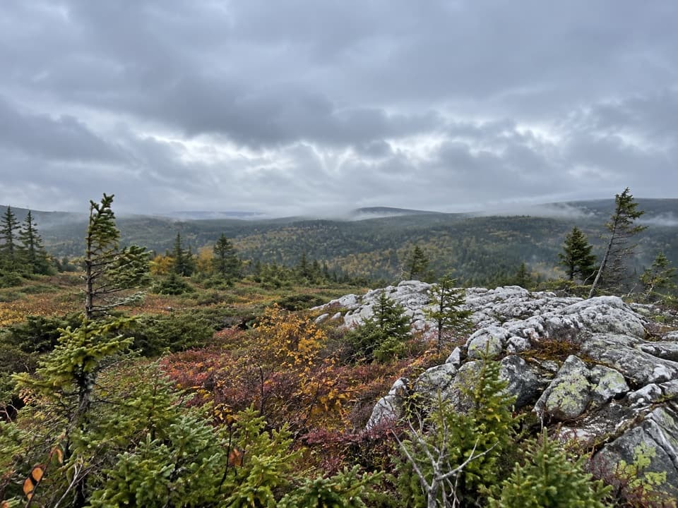
The path crosses open wet barrens and evergreen forest. The route is mostly level, with some rough sections. Boardwalks cover parts of the damp ground, keeping feet drier and protecting fragile vegetation from trampling. Mud is possible, so wear footwear you do not mind getting wet and stay on the path and boards.
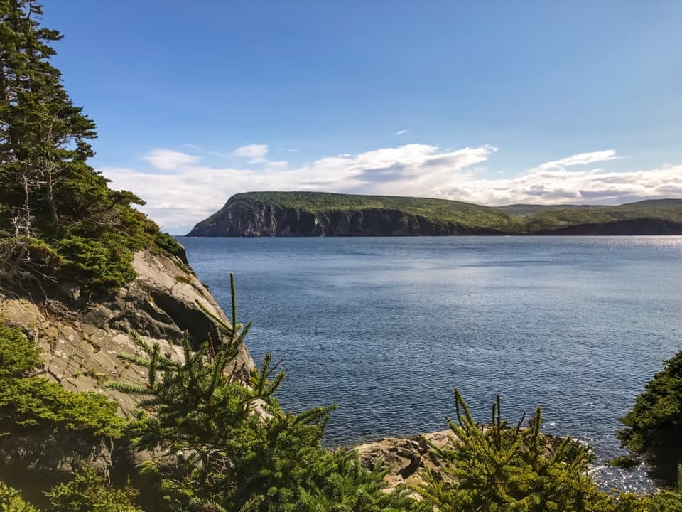
The trail ends at the water, where visitors repeatedly describe a small wooden landing and benches. The lake is the payoff: give yourself a few minutes there rather than expecting a broad summit panorama. Parks Canada notes that moose are often seen in this area and that northern birds use the highlands, though sightings are never guaranteed. Early morning is a good time to pause quietly for wildlife. From the landing, frame the grassy shoreline against the forest and reflections across the water.
Start at the trailhead on the Cabot Trail at the top of French Mountain. A valid park entry pass is required when stopping inside the park. Bring your own water and insect repellent; blackflies and mosquitoes can be common through summer. Dogs are allowed on leash throughout the park.
Wildlife
 180 sightingsMooseMost seen around 5 AMSighting map
 60 sightingsBlack BearMost seen around 6 PMSighting map
 48 sightingsBald EagleMost seen around 8 AMSighting map
 29 sightingsGrey SealMost seen around 7 AMSighting map
 14 sightingsCoyoteMost seen around 8 PMSighting map
 10 sightingsWhite-tailed DeerMost seen around 6 AMSighting map
Sighting maps show where each species has been reported across Cape Breton Highlands. Wildlife moves, so no sighting is guaranteed.
Keep exploring
 EasyBog Trail0.5 km · 15 min · 0.8 km awayA short, wheelchair-accessible boardwalk through a highland bog.
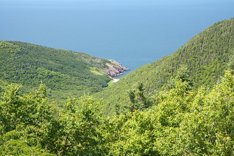 ChallengingFishing Cove12 km · 5.5 hr · 2.9 km awayA 12 km cove hike with a tough climb back out.
 EasySkyline Trail8.2 km · 2.8 hr · 4.5 km awayFrom the boardwalk, the Cabot Trail looks toy-sized.
 EasyCorney Brook Trail6.4 km · 2 hr · 8.2 km awayA shaded hardwood canyon follows the brook to a small waterfall.
 EasyMacIntosh Brook Trail1.7 km · 36 min · 8.3 km awayAn easy brookside stroll with a waterfall at the end.
 EasyLe vieux chemin du Cap-Rouge9 km · 3 hr · 9.3 km awayOld road, Acadian history, and a Gulf look-off at the end.
 EasyLone Shieling Trail0.6 km · 15 min · 9.7 km awayAn easy 0.4-mile loop through old-growth maple forest to a historic hut.
 EasyLe Buttereau Trail1.6 km · 38 min · 13.1 km awayA short hill loop through Acadian fields, with Gulf views.
 Scenic pullout · 3.8 km awayFrench Lake Look-OffA quick lake-view pause along the Cabot Trail.Scenic pullout · 5.1 km awayFishing Cove Look-offA quick roadside view 335 metres above Fishing Cove.
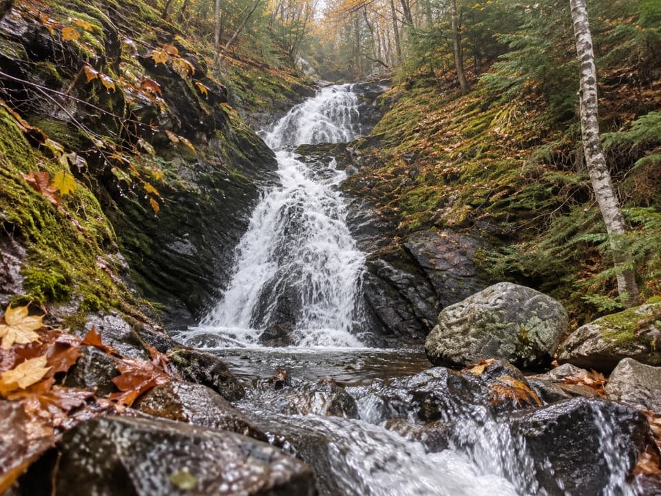 Sight · 6.2 km awayCorney Brook FallsA 9 m waterfall rewards a quiet walk beside the brook.
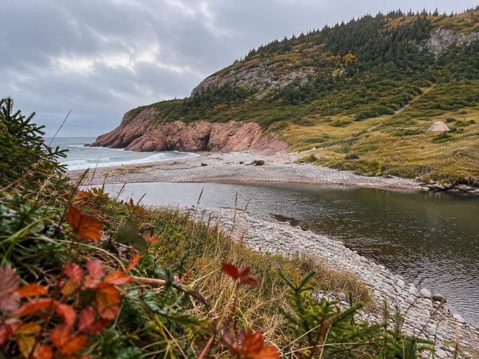 Campground · 6.8 km awayFishing Cove Backcountry CampgroundEight reservable wilderness sites at the bottom of a steep coastal hike
 Sight · 7.5 km awayVeteran's MonumentA war memorial adds history to this sweeping Cabot Trail view.
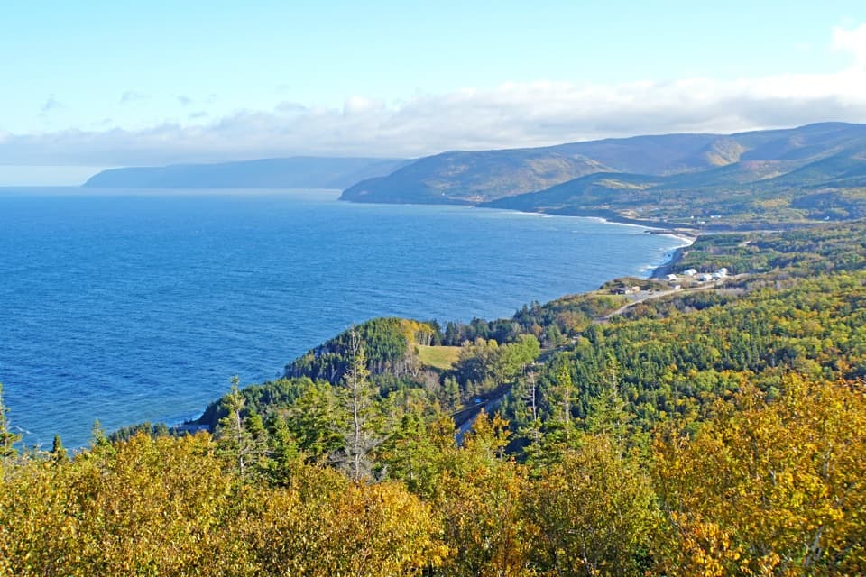 Scenic pullout · 7.9 km awayMacKenzie Mountain Look-off — The Gulf of St. LawrenceA Gulf panorama with its own stop on the Cabot Trail.
 Scenic pullout · 7.9 km awayMacKenzie Mountain Look-off — The Highland PlateauA no-hike look at the plateau and MacKenzie River canyon.
 Scenic pullout · 8.1 km awayMacKenzie Mountain Look-off — WhalesA Gulf view and whale exhibit, even without a sighting.
Parkwolf’s Cape Breton Highlands ranking

The audio tour guide for the drive, plus offline maps, trails, and wildlife heatmaps for when the signal drops.