1 active Cape Cod alert
- CautionSharks active in park waters through OctoberSharks are active in park waters through October; heed beach guidelines and signage before entering the water.Official details

Picnic area · Cape Cod National Seashore
A shady table stop before or after the Great Island hike
Overview
Map
Plan your stop

The highest, rockiest slopes around here are a summer buffet for grizzly bears.
Cape Cod Tour Guide
Parkwolf is a GPS audio tour guide for Cape Cod National Seashore. As you drive, it chimes in with what’s ahead: hidden gems, upcoming stops, history, geology, and wildlife, right through your car’s speakers.
Recorded for this place
Great Island Tavern Loop“You're coming up on Great Island Trail, a sandy walk through pine woods and along salt marsh. I'd choose the three-point-nine-mile Tavern Loop and allow about three hours.”
Plays as you drive up to Great Island Picnic Area in the Parkwolf Cape Cod Tour Guide.
More stories near here in the app
“Fantastic app with many points of information… It’s great to just turn on while you’re driving and it gives you an audio tour of the national Park. We love it!!!!”


Guide
This small picnic area sits at the Great Island Trail parking lot in Wellfleet, tucked beneath a pine canopy. It works well for a simple meal before or after a hike: there are five tables, no grills, and seating is first come, first served.
The picnic tables are at the far end of the lot, opposite the trailhead and portable toilets. The heavy shade makes them easy to miss, so look toward the pines rather than expecting an open picnic lawn. The lot is reached from Chequessett Neck Road.
Portable toilets at the trailhead lot are seasonal. No drinking-water source or food service is listed for the picnic area, so pack water and a meal. With no grills and only five tables, this is a quiet break spot rather than a place for a large gathering.
Wildlife
 459 sightingsGray SealMost seen around 11 AMSighting map
 84 sightingsCoyoteMost seen around 6 AMSighting map
 297 sightingsRed FoxMost seen around 7 PMSighting map
 49 sightingsWhite-tailed DeerMost seen around 6 AMSighting map
 263 sightingsHorseshoe CrabMost seen around 8 PMSighting map
 73 sightingsGreat Blue HeronMost seen around 6 PMSighting map
Sighting maps show where each species has been reported across Cape Cod. Wildlife moves, so no sighting is guaranteed.
Keep exploring
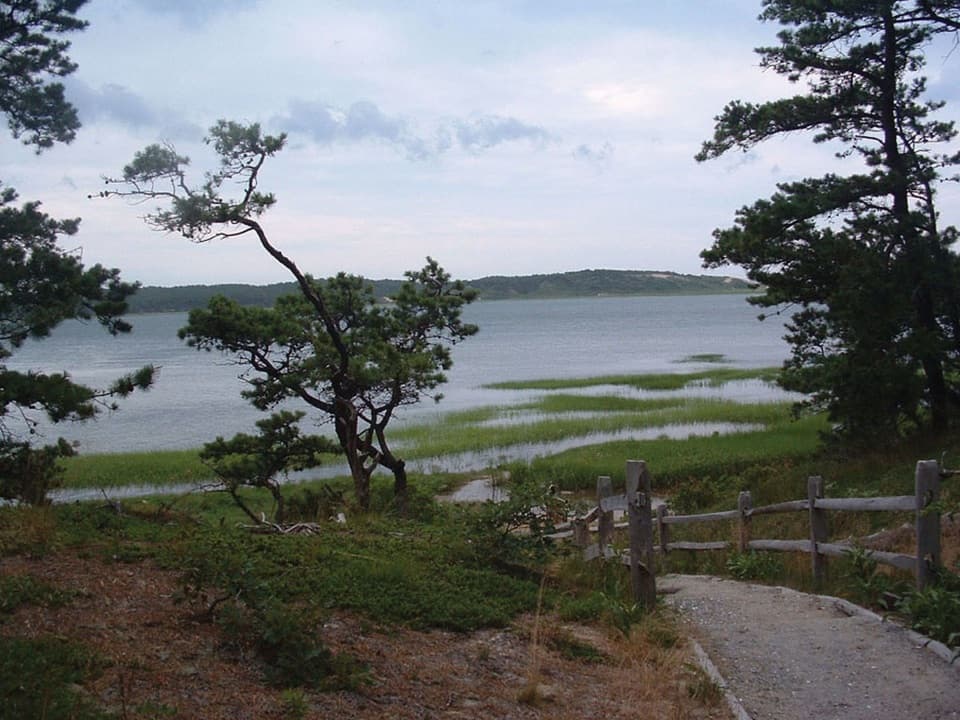 ModerateGreat Island Trail3.9 mi · 3 hr · At the trailheadA sandy loop through pine, marsh, and a vanished colonial tavern.
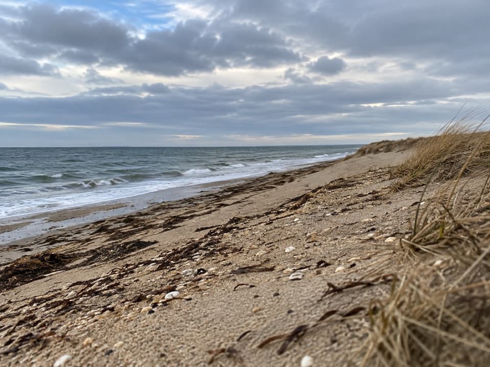 ModerateGriffin Island Loop3.9 mi · 2 hr · At the trailheadBeach, brush, and a quiet river return make this an unusual loop.
 EasyHerring River Overlook Trail0.7 mi · 30 min · 0.5 mi awayA quick woodland loop to benches overlooking Herring River.
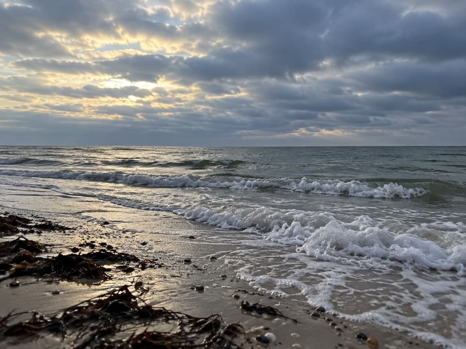 EasyRyder Beach Loop3.1 mi · 1.5 hr · 2.1 mi awayA bay loop pairs rail history, open shore, and sandy roads.
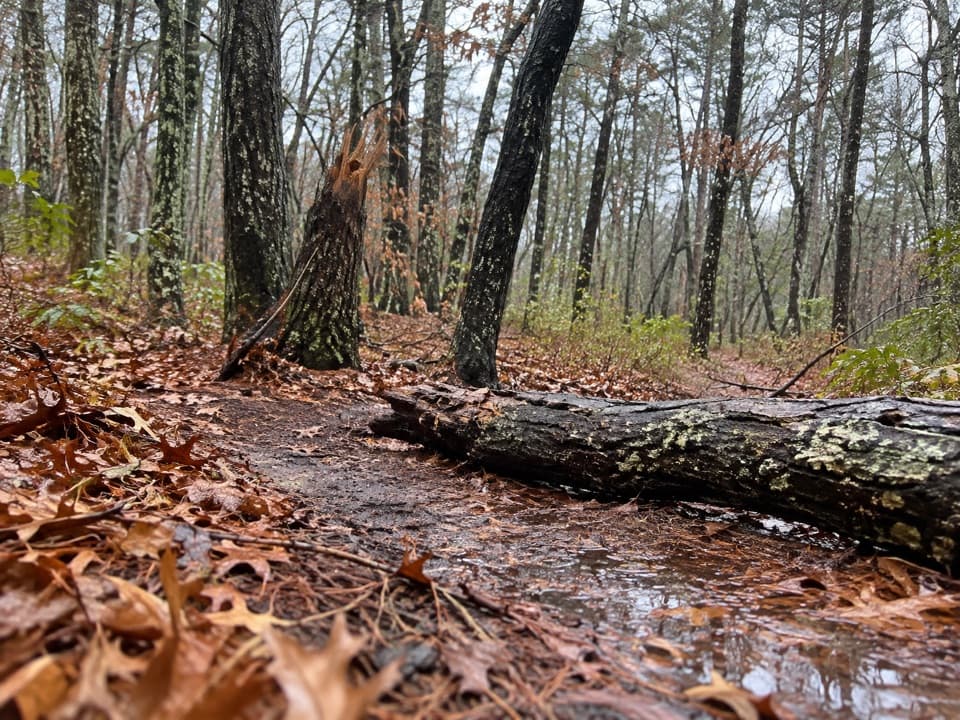 EasyAround Dyer Pond Loop1.3 mi · 40 min · 3 mi awayA compact loop circles a freshwater pond through Wellfleet woods.
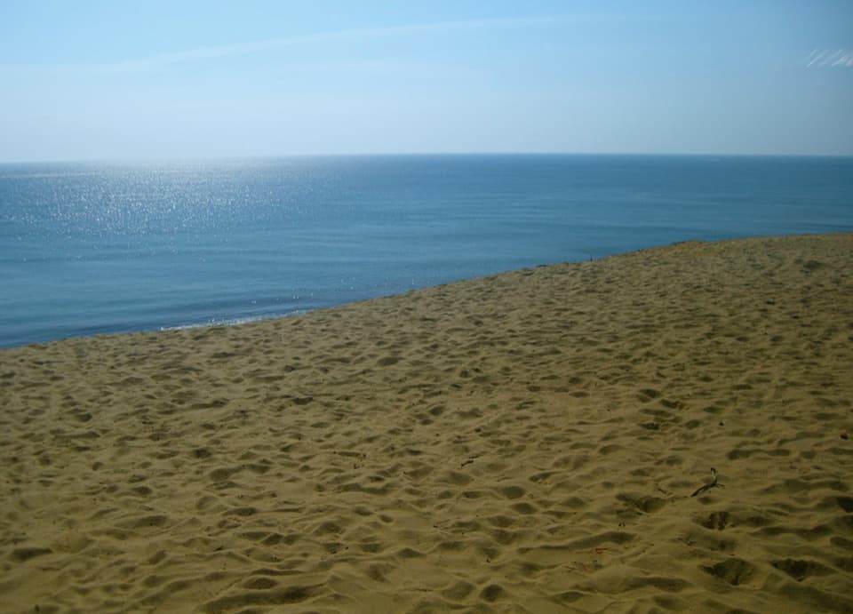 ModerateDuck Pond, Great Pond and White Crest Beach Loop5.9 mi · 2.5 hr · 3.5 mi awayTwo kettle ponds and a beach in one sandy loop.
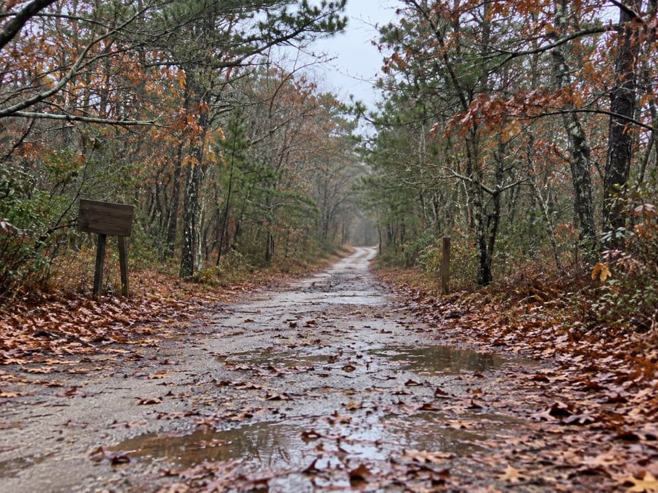 EasyOld Fox Bottom Road1.8 mi · 1 hr · 3.5 mi awayA Cold War fire road ends at an eroding Atlantic bluff.
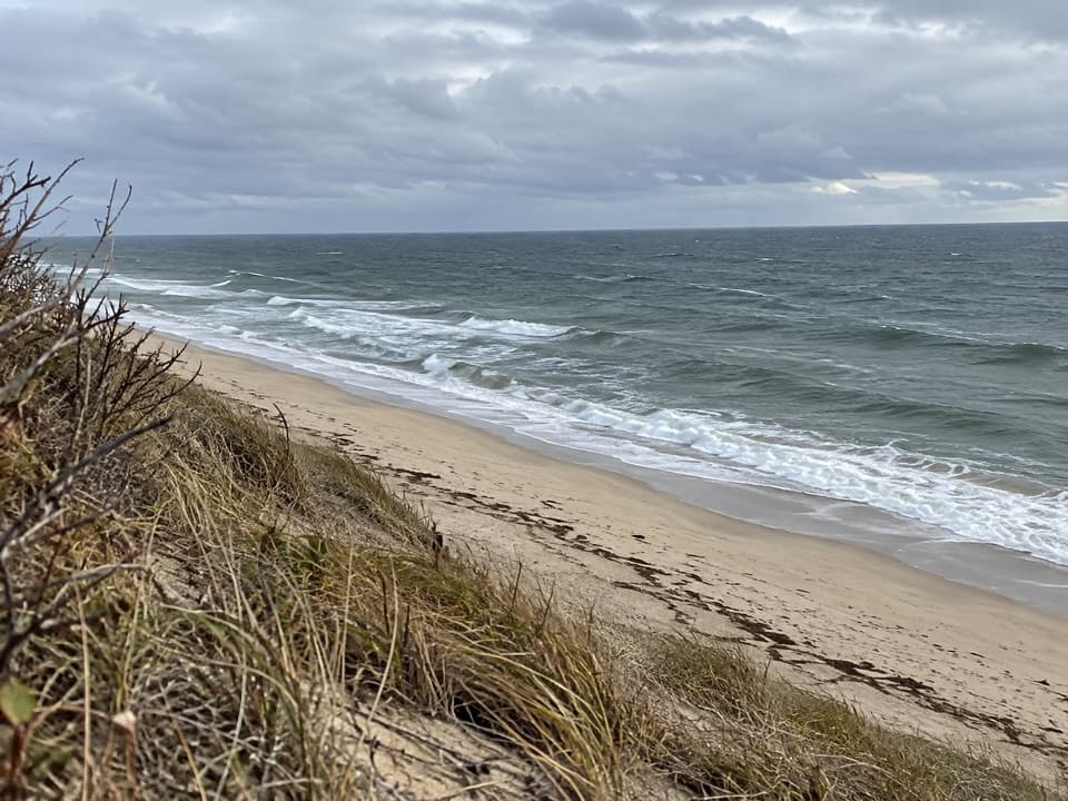 ModerateGreat Dunes Trail2.6 mi · 1.8 hr · 3.8 mi awayA shaded approach opens to an Atlantic bluff above the waves.
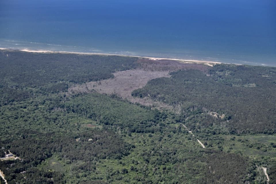 Beach · 1 mi awayDuck Harbor BeachDuck Harbor’s rocky shore frames a Cape Cod Bay sunset.
 Sight · 1.5 mi awayAtwood-Higgins HouseFrom half-Cape to full Cape, then a four-decade second life.
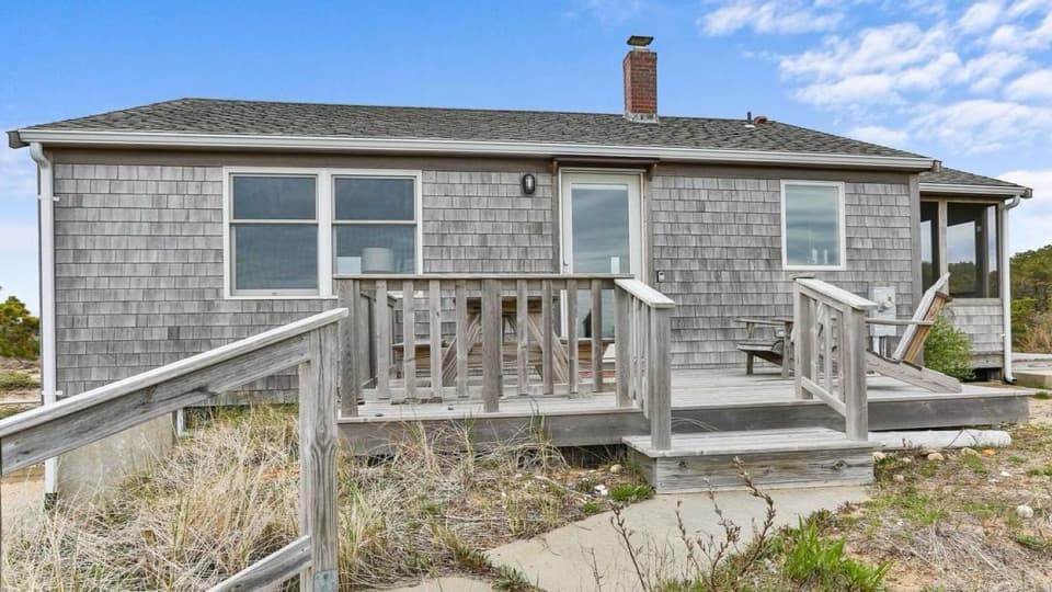 Lodging · 1.7 mi awayBay View HouseA Cape Cod Bay stay with a furnished deck and sunset views.
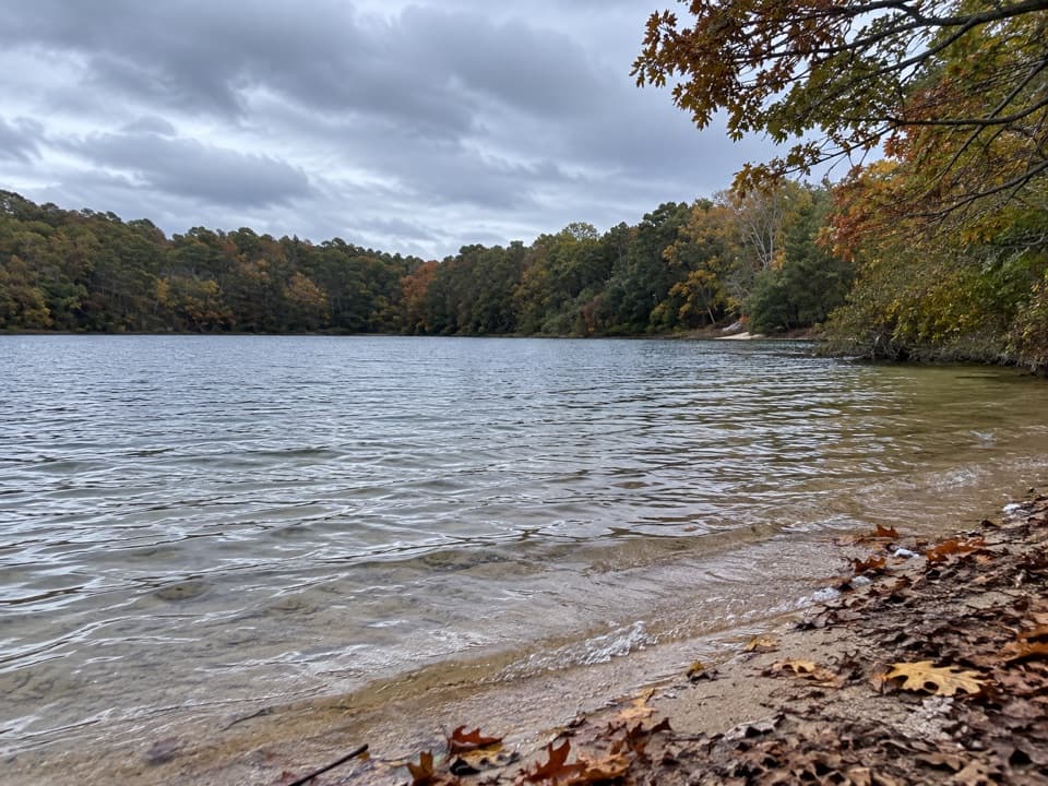 Beach · 3.1 mi awayLong Pond BeachA clear-water swim in a glacial kettle pond.
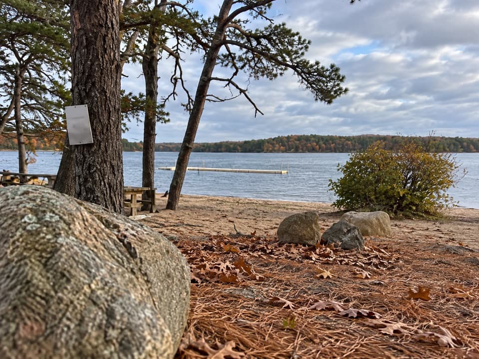 Beach · 3.3 mi awayGull Pond Landing BeachA small sandy swim on a 15,000-year-old kettle pond.
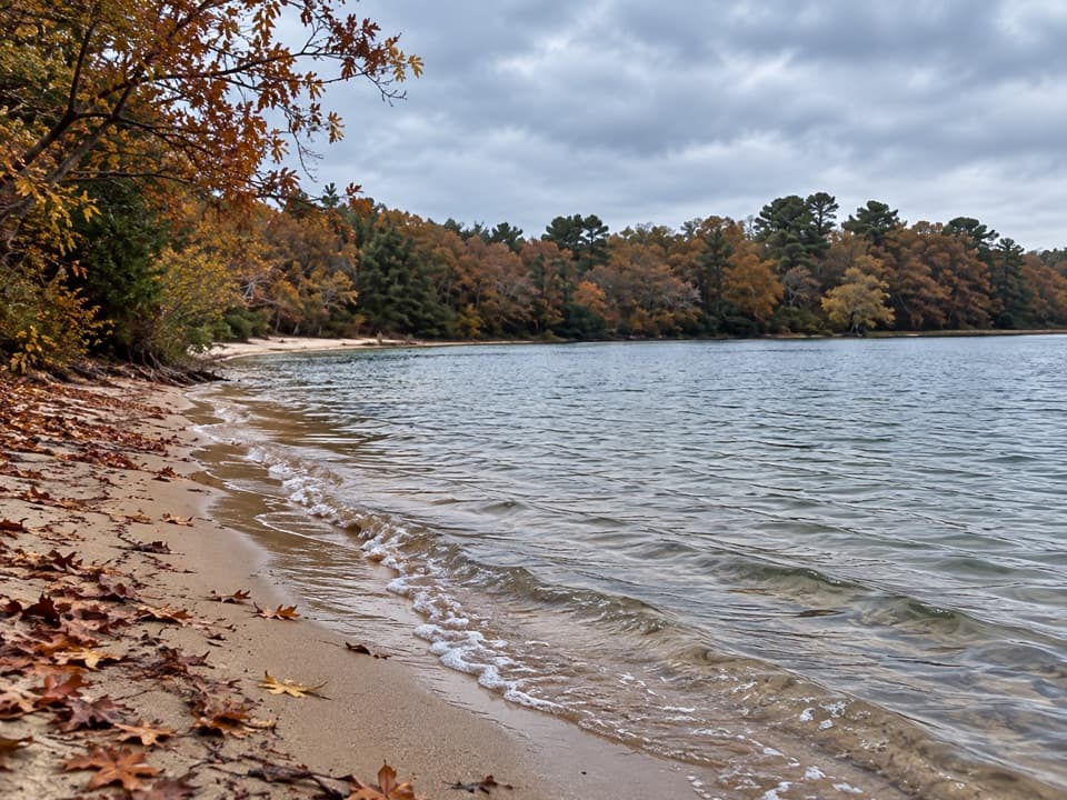 Beach · 3.5 mi awayGreat Pond BeachA shaded freshwater swim, reached by long stairs and a wade.
 Campground · 3.6 mi awayWellfleet Hollow State CampgroundA wooded base for Cape beaches, the Rail Trail, and Duck Pond.
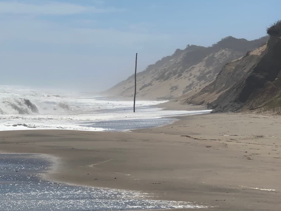 Beach · 4.3 mi awayNewcomb Hollow BeachA gentler dune descent leads to a wide, surfy Atlantic shore.
Parkwolf’s Cape Cod ranking

The audio tour guide for the drive, plus offline maps, trails, and wildlife heatmaps for when the signal drops.