Griffin Island Loop in Cape Cod National Seashore

Cape Cod National Seashore, MA

Griffin Island Loop

Beach, brush, and a quiet river return make this an unusual loop.

Length
3.9mi
Time
2hr
Elev. change
81ft
Difficulty
Moderate
  • Loop
  • High point 76 ft
  • #16 of 32 in Cape Cod

Hear the audio tour

Great Island Tavern Loop

Overview

About Griffin Island Loop

Griffin Island Loop is an informal, roughly 3.9-mile circuit from Great Island parking that links a sandy beach walk with a brushy cross-island path and a return beside Herring River. It is not a signed National Park Service trail, and access along every leg is not confirmed; choose it only if you are comfortable checking posted signs and following an indistinct route. Allow about 1.5–2.5 hours. Published route listings also show 3 miles; this entry maps the longer beach-to-river circuit described locally, which measures about 3.9 miles. Check beach access and tides before setting out: high water or overwash can complicate the shore section, and no alternate route is established here.

Why go

  • A varied circuit links open beach, island woods, and a river edge.
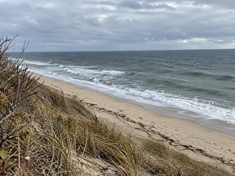
  • The beach gives a close view of Griffin Island’s high sand face.

Heads up

  • The route is informal, with a narrow brushy section and limited wayfinding.
  • Beach passage and full-route access are uncertain around tides and posted restrictions.

Map & elevation

The route

Loading the Cape Cod map
Full map
Elevation-5–76 ft
TrailheadGreat Island parking area41.93291, -70.06905
Keep this map with you offline in the Parkwolf app

Plan your hike

Before you go

Parking

Start at Great Island parking area near the junction of Chequessett Neck and Griffin Island roads. It is also used for the separate Great Island Trail; no separate signed trailhead for Griffin Island Loop was confirmed. The adjacent NPS picnic area has portable toilets. Parking capacity, fee, and an on-route water source were not confirmed.


Safety

This is an informal, unsigned circuit, and public access on every segment has not been confirmed. Follow posted restrictions and do not detour across closed ground. High water or overwash can complicate the beach leg; the cross-island path is narrow and brushy, and the river-side descent is sharp. The dog rule for the whole circuit is unconfirmed. Do not enter the Kuhn House.
1 active Cape Cod alert

  • CautionSharks active in park waters through OctoberSharks are active in park waters through October; heed beach guidelines and signage before entering the water.Official details
Cape Cod alerts
A park ranger sits on a dash-mounted phone, talking, as Parkwolf’s Tour Guide plays “Army Cutworm Moths: A Grizzly Bear Buffet” on Grand Loop Road below Dunraven Pass in Yellowstone
Parkwolf Tour GuideThe highest, rockiest slopes around here are a summer buffet for grizzly bears.

Cape Cod Tour Guide

Your drive to Griffin Island Loop, narrated.

Parkwolf is a GPS audio tour guide for Cape Cod National Seashore. As you drive, it chimes in with what’s ahead: hidden gems, upcoming stops, history, geology, and wildlife, right through your car’s speakers.

Recorded for this area

Great Island Tavern Loop
0:00 / 0:27
“You're coming up on Great Island Trail, a sandy walk through pine woods and along salt marsh. I'd choose the three-point-nine-mile Tavern Loop and allow about three hours.”

Plays near this trailhead in the Parkwolf Cape Cod Tour Guide.

More stories near here in the app

  • Herring River Overlook Trail
  • One Claw for Dinner
  • A Chorus After Rain
  • Atwood-Higgins House
  • 56 audio storiesacross Cape Cod’s roads, triggered by GPS as you drive
  • Wildlife heatmapsfor Gray Seal, Coyote, Red Fox, and 13 more
  • Works offlinemaps, 32 trails, 55 places, and audio download before you lose signal
  • CarPlay readysimple controls built for the drive
★★★★★
“Fantastic app with many points of information… It’s great to just turn on while you’re driving and it gives you an audio tour of the national Park. We love it!!!!”
JMJamesApp Store review
Download Parkwolf on the App StoreGet Parkwolf on Google Play

4.7 from 8,600+ ratings

Trail guide

Hiking Griffin Island Loop

Duck Harbor BeachFrom the parking area, a sandy access leads down to Duck Harbor Beach.

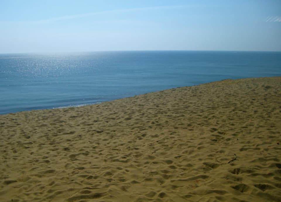
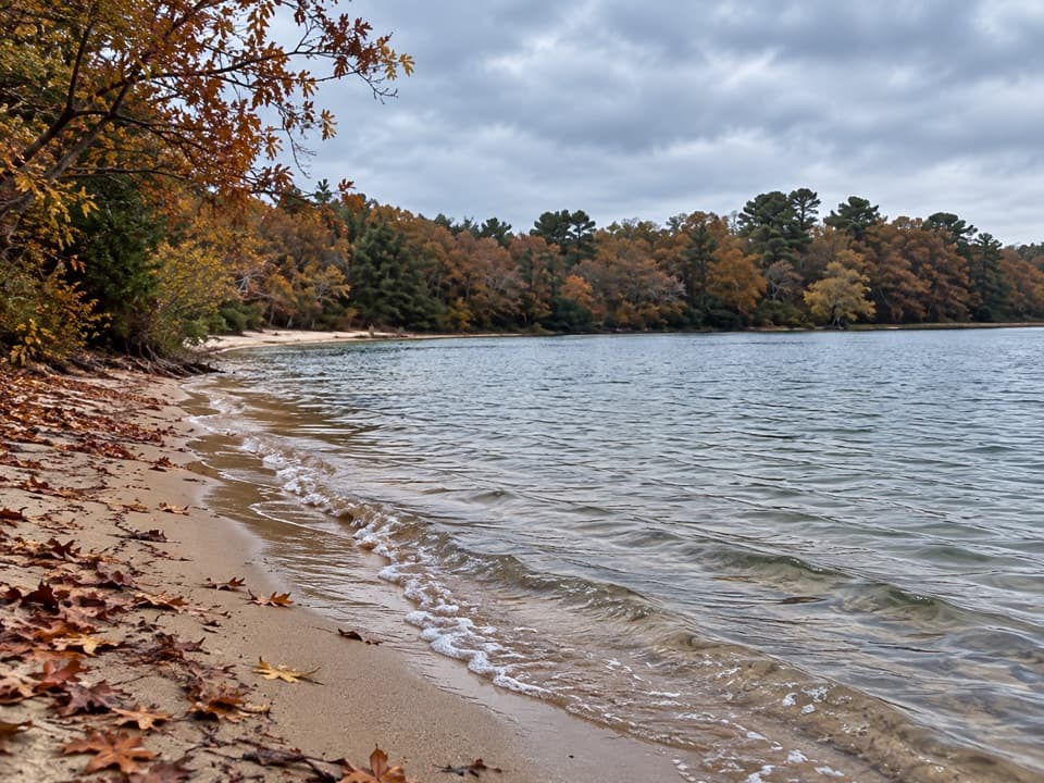
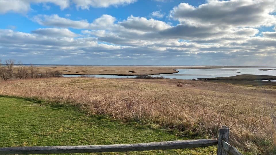
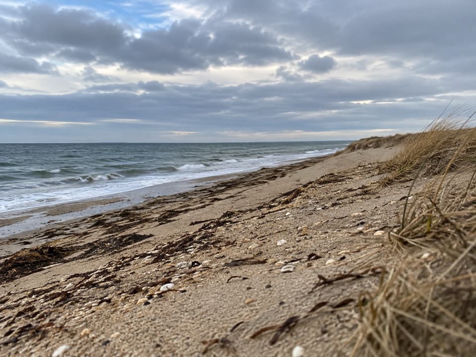
From the parking area, a sandy access leads down to Duck Harbor Beach. Follow the shore north toward the town parking area, with Griffin Island’s steep sand face visible along the western edge. The beach is the most open stretch and the best place to stop for the island-and-ocean view. Sand can slow the walk, and the shoreline can be affected by high water; turn back if the beach passage is blocked rather than improvising across closed ground.

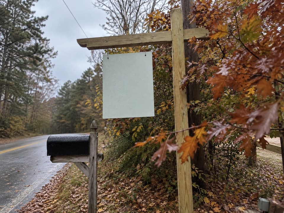
Crossing Griffin IslandAt the town lot, continue up Griffin Island Road for about 500 feet to the fire road.

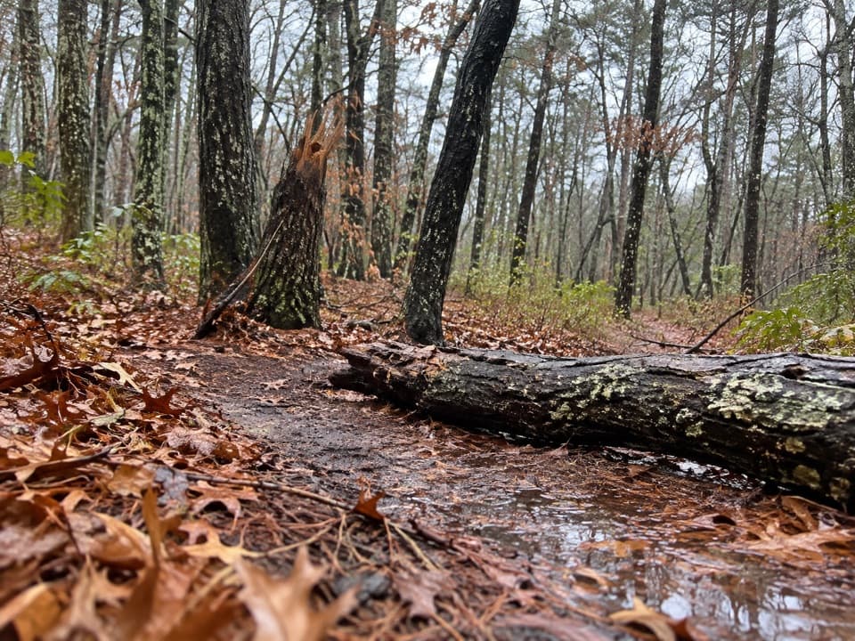
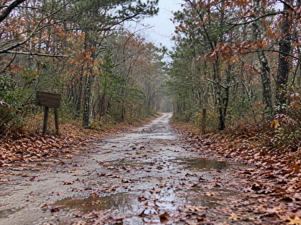
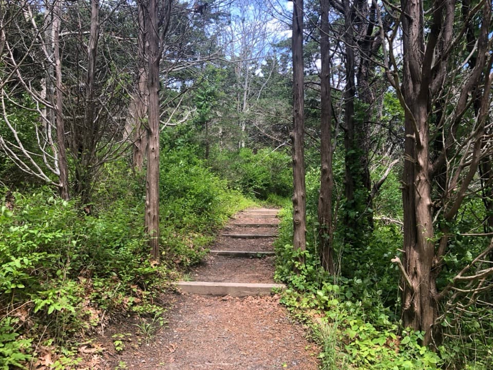
At the town lot, continue up Griffin Island Road for about 500 feet to the fire road. The broad road narrows into a thin, brushy path across the island, so expect less obvious wayfinding than on a signed park trail. Stay with the described public roads and path, and follow any posted access restrictions.

The Kuhn HouseThe cross-island route passes near the Kuhn House, a mid-century modern vacation home…

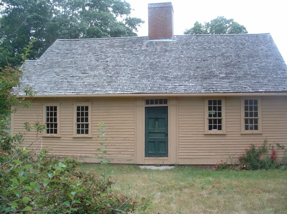
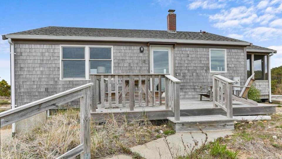
The cross-island route passes near the Kuhn House, a mid-century modern vacation home associated with a circle of exiled designers. Its design used screened porches and movable walls to blur the line between indoors and outdoors. Its mid-century design used screened porches and movable walls to blur the line between indoors and outdoors. Stay outside and view it from the route.

Herring RiverA sharp descent at the far side opens onto Herring River.

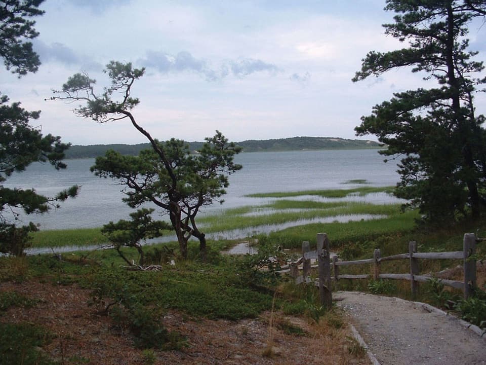
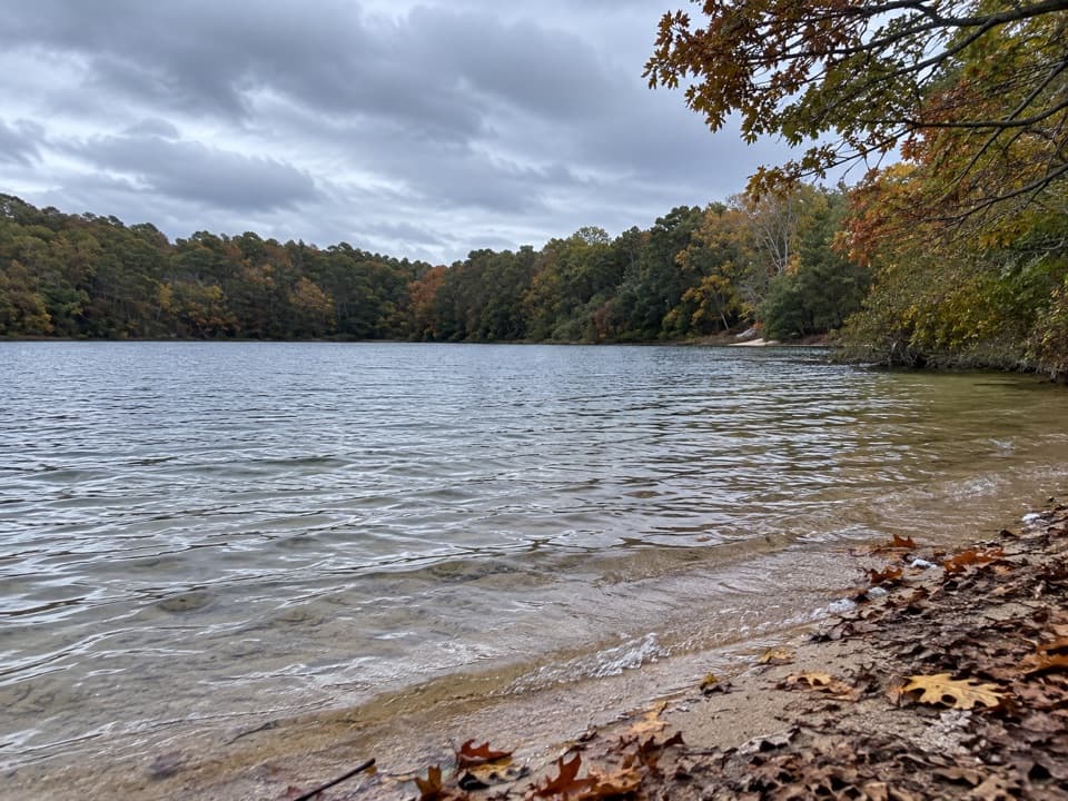
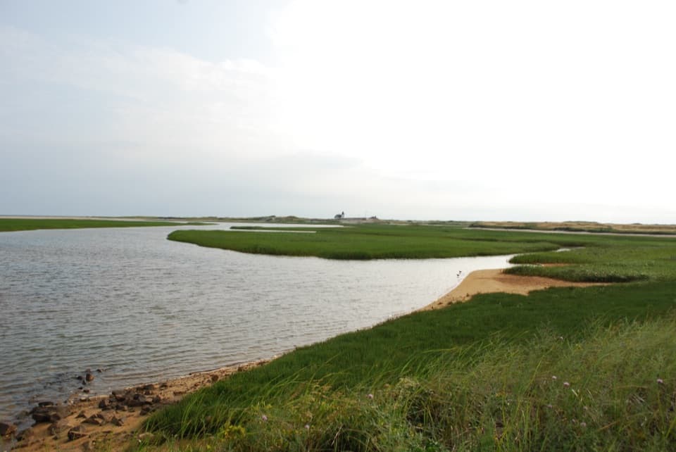
A sharp descent at the far side opens onto Herring River. The return follows a dirt road beside the water to the bridge and back toward the starting lot. The river edge also shows the history of a 1909 dike that restricted tidal flow; restoration work is intended to reconnect salt water with the marsh.

Start and practical detailsBegin at Great Island parking area near the corner of Chequessett Neck and Griffin Island roads.

Begin at Great Island parking area near the corner of Chequessett Neck and Griffin Island roads. This access is also used for the separate Great Island Trail; Griffin Island Loop has no confirmed signed trailhead. The adjacent National Park Service picnic area has portable toilets, but there are no confirmed food or water services along this loop. The dog rule for the full informal circuit could not be verified, so check posted rules before bringing a pet.

Wildlife

Wildlife in Cape Cod

All Cape Cod wildlife maps

Sighting maps show where each species has been reported across Cape Cod. Wildlife moves, so no sighting is guaranteed.

Keep exploring

Near Griffin Island Loop

See it all on the map

Trails that start nearby

Places near the trailhead

Parkwolf’s Cape Cod ranking

Top-rated trails in Cape Cod

All 32 trails
  1. 1Great Island TrailModerate · 3.9 mi
  2. 2Fort Hill TrailEasy · 1 mi
  3. 3Atlantic White Cedar Swamp TrailModerate · 1.2 mi
  4. 4Nauset Marsh TrailEasy · 1.3 mi
  5. 5Hatches Harbor TrailModerate · 3.5 mi
  6. 6Long Point Lighthouse TrailModerate · 5.5 mi

Take Parkwolf to Cape Cod.

The audio tour guide for the drive, plus offline maps, trails, and wildlife heatmaps for when the signal drops.

4.7 from 8,600+ ratings

Download Parkwolf on the App StoreGet Parkwolf on Google Play