Parking
Ryder Beach lot on Ryder Beach Road, listed with 32 spaces. A Truro beach parking sticker is required in season; a portable toilet is listed in season. The Town lists no food vendor.
Cape Cod National Seashore, MA
A bay loop pairs rail history, open shore, and sandy roads.
Overview
Map & elevation
Plan your hike

The highest, rockiest slopes around here are a summer buffet for grizzly bears.
Cape Cod Tour Guide
Parkwolf is a GPS audio tour guide for Cape Cod National Seashore. As you drive, it chimes in with what’s ahead: hidden gems, upcoming stops, history, geology, and wildlife, right through your car’s speakers.
Recorded for this area
The Herring’s Round Trip“River herring connect the Cape's freshwater ponds and streams to the open sea. Two fish share that name: alewives and blueback herring.”
Plays on the road 0.6 mi from the trailhead in the Parkwolf Cape Cod Tour Guide.
More stories near here in the app
“Fantastic app with many points of information… It’s great to just turn on while you’re driving and it gives you an audio tour of the national Park. We love it!!!!”


Trail guide
Ryder Beach Loop is about 3.1 miles around: it links the former Old Colony railroad grade, the shore at Ryder Beach, and sandy roads around Bound Brook Island. Starting at Ryder Beach, walk south along the bay to reconnect with Bound Brook Island, follow its sand roads inland, then take the old grade and Ryder Beach Road back toward the beach. Allow about 1½ hours. The route stays low, with about 30 metres of cumulative ascent; soft sand and the beach make it more work than a paved stroll. It is stitched from several path types rather than marked as one continuous trail, so save the route offline.
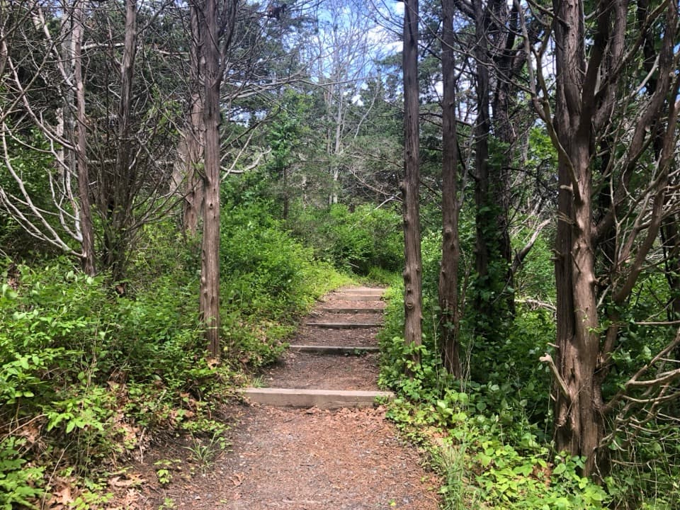
The former railroad grade runs almost straight for more than a mile through woods and marsh, crossing from Wellfleet into Truro and ending at Ryder Beach Road. Bound Brook Island rises to the west. The line reached Provincetown in 1873, and passenger service ended before World War II. The straight corridor makes the railroad’s old path across this landscape easy to picture.
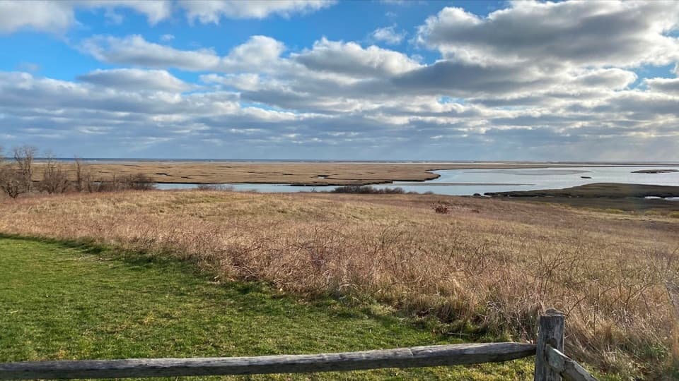
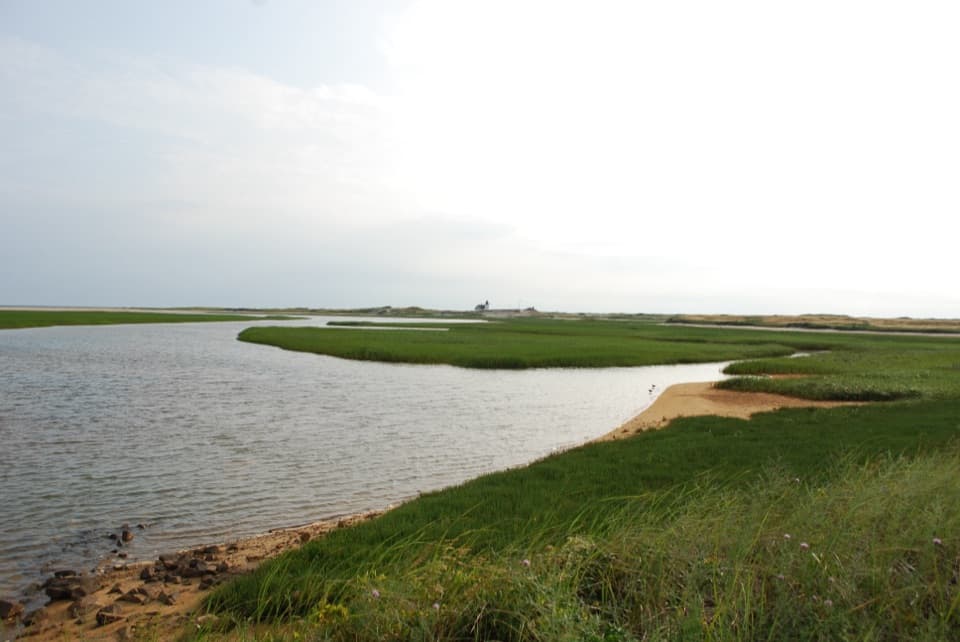
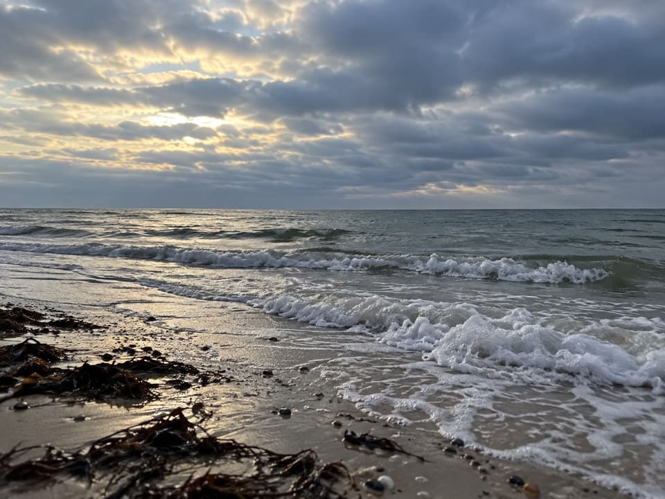
The bay shore is the open stretch between the wooded grade and the sandy roads. The route follows the beach south toward Bound Brook Island; the low horizon and wet stones along the water’s edge make the best place to pause for the view. Follow local beach postings, and do not force a route through a closed or impassable shore section.
The sandy-road return brings a very different feel from the railroad bed. The loop passes the Hatch House and the Atwood-Higgins House, a Cape Cod National Seashore house dating to about 1730; treat both as landmarks rather than assuming an interior visit. Nearby Diana’s Trail is separate from this loop: it follows an old deer path through heathland to a bench overlooking Cape Cod Bay.
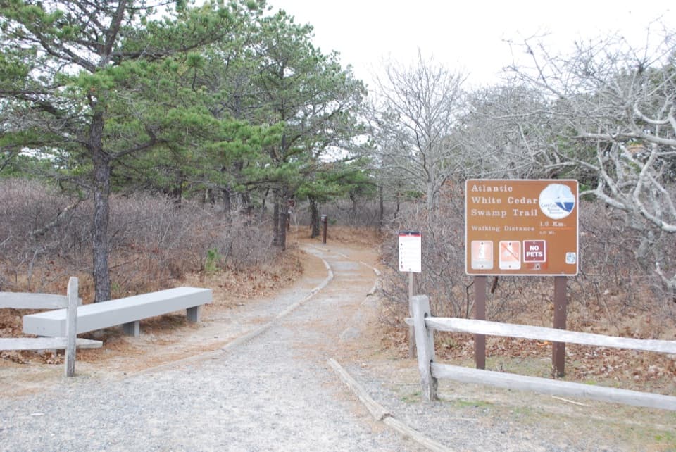
Ryder Beach has a Town lot listed with 32 spaces. A Truro beach parking sticker is required in season, and a portable toilet is listed then; the Town lists no food vendor. This local loop is not one signed National Park Service trail, and the rules for bringing a pet across the full beach, railbed, and road route were not established. Check local access signs before starting; no on-route food stop was found.
Wildlife
 459 sightingsGray SealMost seen around 11 AMSighting map
 84 sightingsCoyoteMost seen around 6 AMSighting map
 297 sightingsRed FoxMost seen around 7 PMSighting map
 49 sightingsWhite-tailed DeerMost seen around 6 AMSighting map
 263 sightingsHorseshoe CrabMost seen around 8 PMSighting map
 73 sightingsGreat Blue HeronMost seen around 6 PMSighting map
Sighting maps show where each species has been reported across Cape Cod. Wildlife moves, so no sighting is guaranteed.
Keep exploring
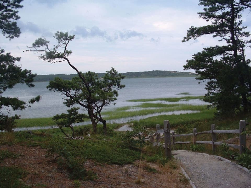 ModerateGreat Island Trail3.9 mi · 3 hr · 2.1 mi awayA sandy loop through pine, marsh, and a vanished colonial tavern.
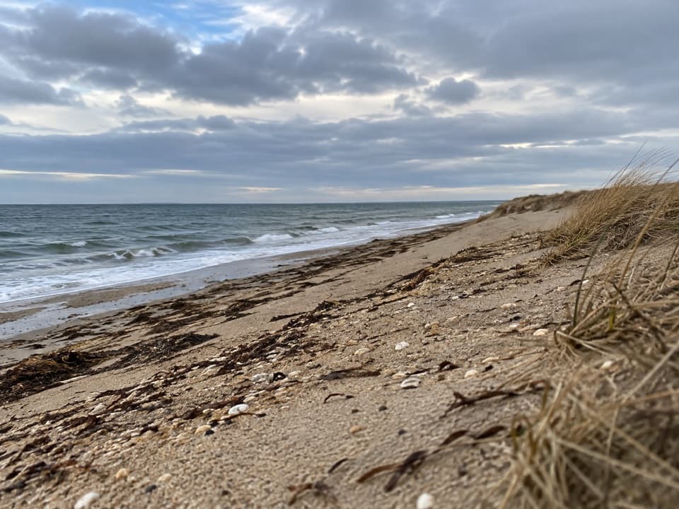 ModerateGriffin Island Loop3.9 mi · 2 hr · 2.1 mi awayBeach, brush, and a quiet river return make this an unusual loop.
 EasyHerring River Overlook Trail0.7 mi · 30 min · 2.5 mi awayA quick woodland loop to benches overlooking Herring River.
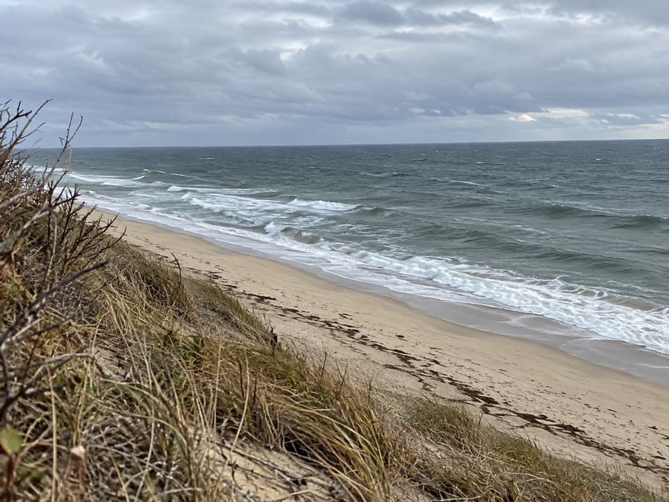 ModerateGreat Dunes Trail2.6 mi · 1.8 hr · 2.7 mi awayA shaded approach opens to an Atlantic bluff above the waves.
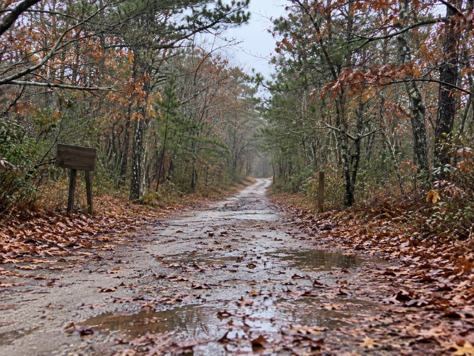 EasyOld Fox Bottom Road1.8 mi · 1 hr · 2.7 mi awayA Cold War fire road ends at an eroding Atlantic bluff.
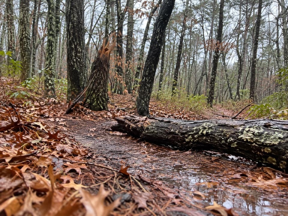 EasyAround Dyer Pond Loop1.3 mi · 40 min · 3.7 mi awayA compact loop circles a freshwater pond through Wellfleet woods.
 ModerateHiggins Hollow Loop3.1 mi · 2 hr · 3.7 mi awayLow hills, an ocean overlook, and a cranberry boghouse.
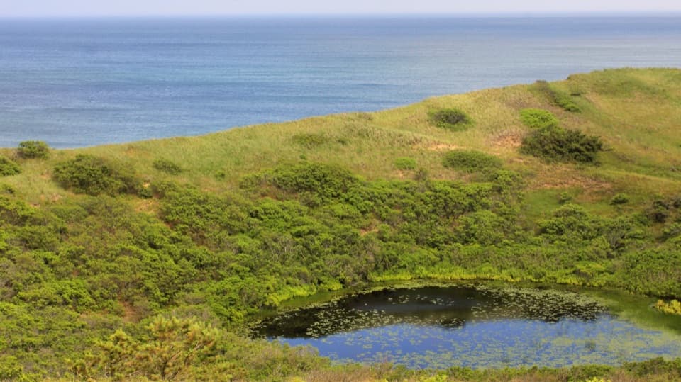 ModerateBearberry Hill Overlook Trail0.5 mi · 45 min · 3.8 mi awayTwo summit spurs give you Atlantic and cranberry-bog views.
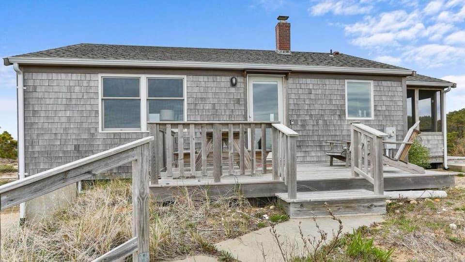 Lodging · 0.4 mi awayBay View HouseA Cape Cod Bay stay with a furnished deck and sunset views.
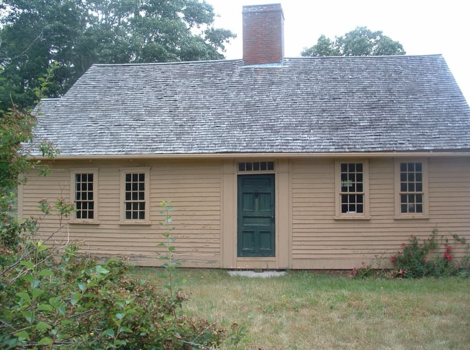 Sight · 1.1 mi awayAtwood-Higgins HouseFrom half-Cape to full Cape, then a four-decade second life.
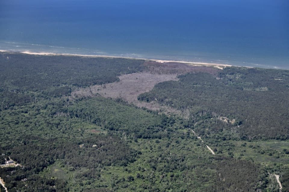 Beach · 1.2 mi awayDuck Harbor BeachDuck Harbor’s rocky shore frames a Cape Cod Bay sunset.
 Picnic area · 2.1 mi awayGreat Island Picnic AreaA shady table stop before or after the Great Island hike
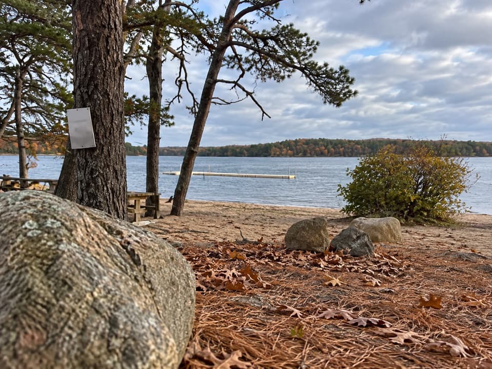 Beach · 3.4 mi awayGull Pond Landing BeachA small sandy swim on a 15,000-year-old kettle pond.
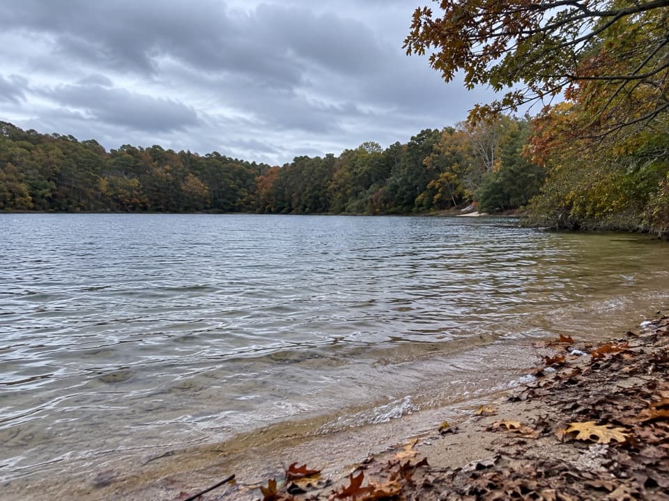 Beach · 3.6 mi awayLong Pond BeachA clear-water swim in a glacial kettle pond.
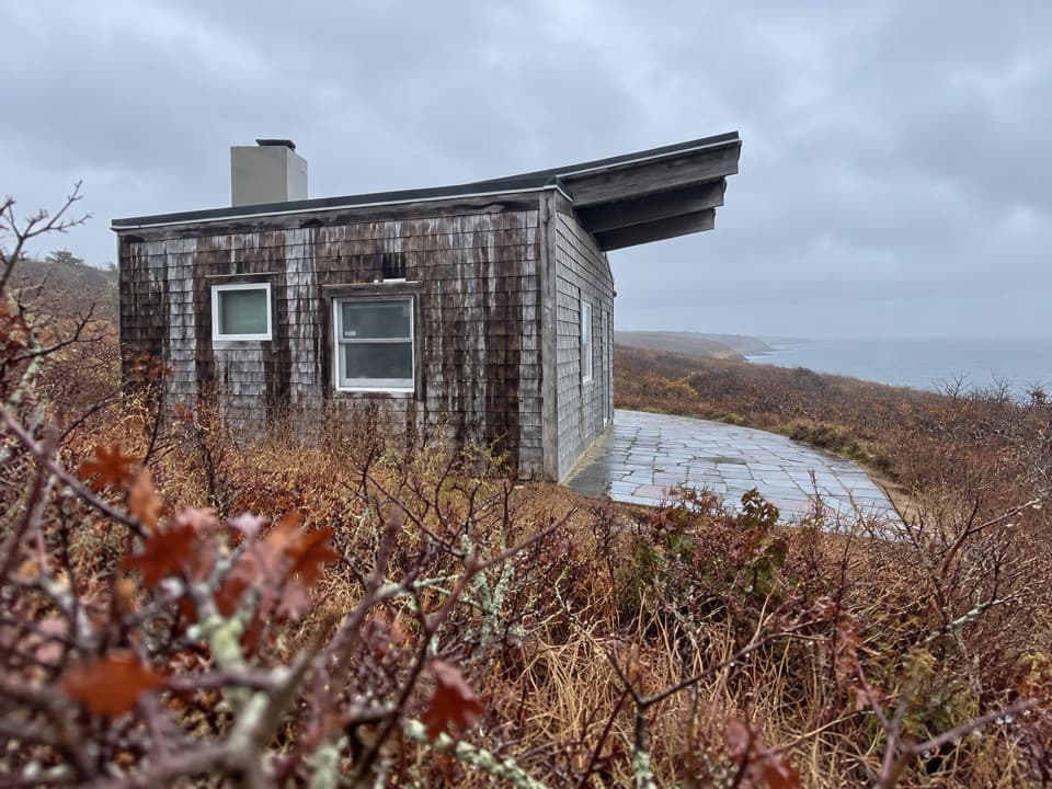 Sight · 3.7 mi awayPamet Cranberry Bog HouseA weathered link to Truro's cranberry-growing past.
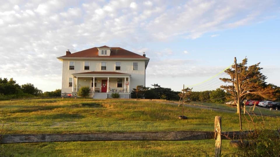 Lodging · 3.8 mi awayTruro HostelSleep in a former Coast Guard station near Ballston Beach.
Parkwolf’s Cape Cod ranking

The audio tour guide for the drive, plus offline maps, trails, and wildlife heatmaps for when the signal drops.