Parking
Use the Herring River Overlook Conservation Land lot at 1000 Chequessett Neck Road. Current summer parking rules are unclear; check local requirements before you arrive.

Cape Cod National Seashore, MA
A quick woodland loop to benches overlooking Herring River.
Overview
Map & elevation
Plan your hike

The highest, rockiest slopes around here are a summer buffet for grizzly bears.
Cape Cod Tour Guide
Parkwolf is a GPS audio tour guide for Cape Cod National Seashore. As you drive, it chimes in with what’s ahead: hidden gems, upcoming stops, history, geology, and wildlife, right through your car’s speakers.
Recorded for this trailhead
Herring River Overlook Trail“Herring River Overlook Trail is ahead, a short woodland walk to benches above the river. Allow thirty to forty-five minutes for the loop, with a few brief ups and downs.”
Plays as you drive up to this trailhead in the Parkwolf Cape Cod Tour Guide.
More stories near here in the app
“Fantastic app with many points of information… It’s great to just turn on while you’re driving and it gives you an audio tour of the national Park. We love it!!!!”


Trail guide
Herring River Overlook Trail is an easy woodland loop from the parking area on Chequessett Neck Road. It dips through mixed woods and a freshwater wetland, then climbs to a ridge above Herring River. The listed distance is about a mile; tracing the mapped loop with both short bench spurs comes to about 0.68 mile. Allow 30–45 minutes with stops. It is a light outing, not a strenuous hike, with several brief ups and downs.
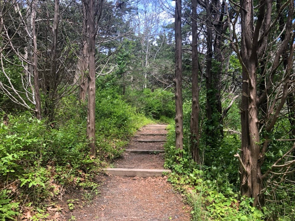
Start on the right-hand path from the lot, descending through pine, oak and black cherry. A bench sits beside a roughly quarter-acre freshwater wetland at the low point. From there the route climbs through open coastal heath, where bearberry and reindeer moss take over from the shade, and reaches the ridge. Two short spurs lead to benches; retrace them to return to the loop. Stay on the marked route to protect fragile slopes and avoid private land.
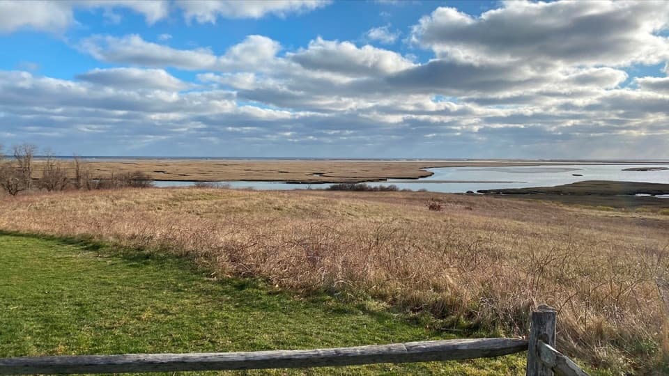
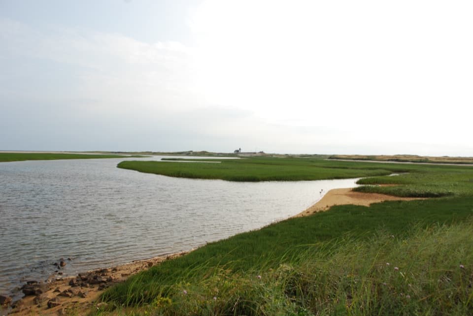
Three benches face Herring River and Griffin Island. From the southwestern bench, look toward the Gut, the narrow sand connection between Griffin Island and Great Island, with Cape Cod Bay beyond. The water is framed by trees rather than opened into a bare platform, so this is better for a quiet look than a sweeping panorama. Birdlife changes through the year; the river guide lists Great Blue Heron, Osprey and Belted Kingfisher among the species seen here. Binoculars help from the ridge.
The 18.3-acre upland was donated to Wellfleet Conservation Trust in 2020. It is glacial outwash left by the last ice age, with coastal heath giving way to pine-oak woodland. The low wetland and the ridge make those two Cape Cod habitats easy to compare on one short walk.
Use the Herring River Overlook Conservation Land lot at 1000 Chequessett Neck Road. The current summer parking rule is unclear, so check local requirements before arriving. Pet access is also unconfirmed; check before bringing a dog.
Wildlife
 459 sightingsGray SealMost seen around 11 AMSighting map
 84 sightingsCoyoteMost seen around 6 AMSighting map
 297 sightingsRed FoxMost seen around 7 PMSighting map
 49 sightingsWhite-tailed DeerMost seen around 6 AMSighting map
 263 sightingsHorseshoe CrabMost seen around 8 PMSighting map
 73 sightingsGreat Blue HeronMost seen around 6 PMSighting map
Sighting maps show where each species has been reported across Cape Cod. Wildlife moves, so no sighting is guaranteed.
Keep exploring
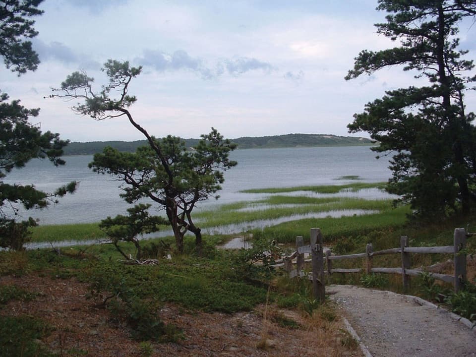 ModerateGreat Island Trail3.9 mi · 3 hr · 0.5 mi awayA sandy loop through pine, marsh, and a vanished colonial tavern.
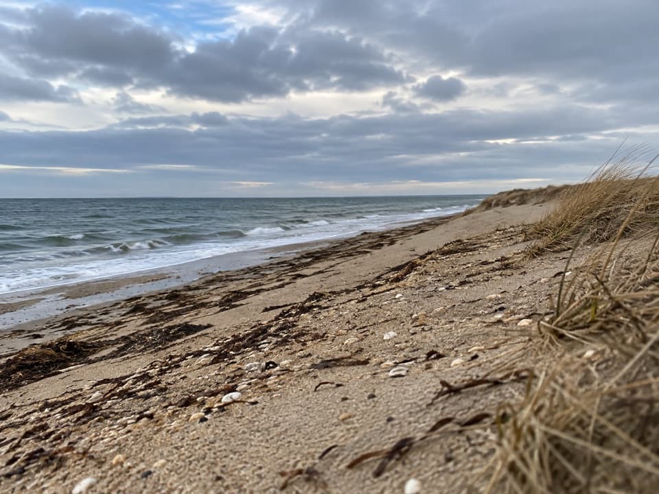 ModerateGriffin Island Loop3.9 mi · 2 hr · 0.5 mi awayBeach, brush, and a quiet river return make this an unusual loop.
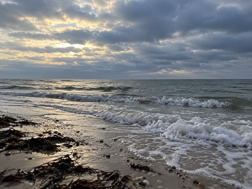 EasyRyder Beach Loop3.1 mi · 1.5 hr · 2.5 mi awayA bay loop pairs rail history, open shore, and sandy roads.
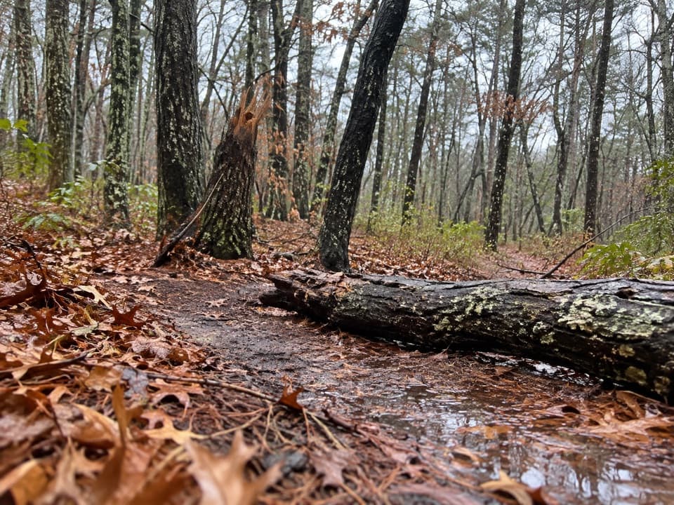 EasyAround Dyer Pond Loop1.3 mi · 40 min · 2.8 mi awayA compact loop circles a freshwater pond through Wellfleet woods.
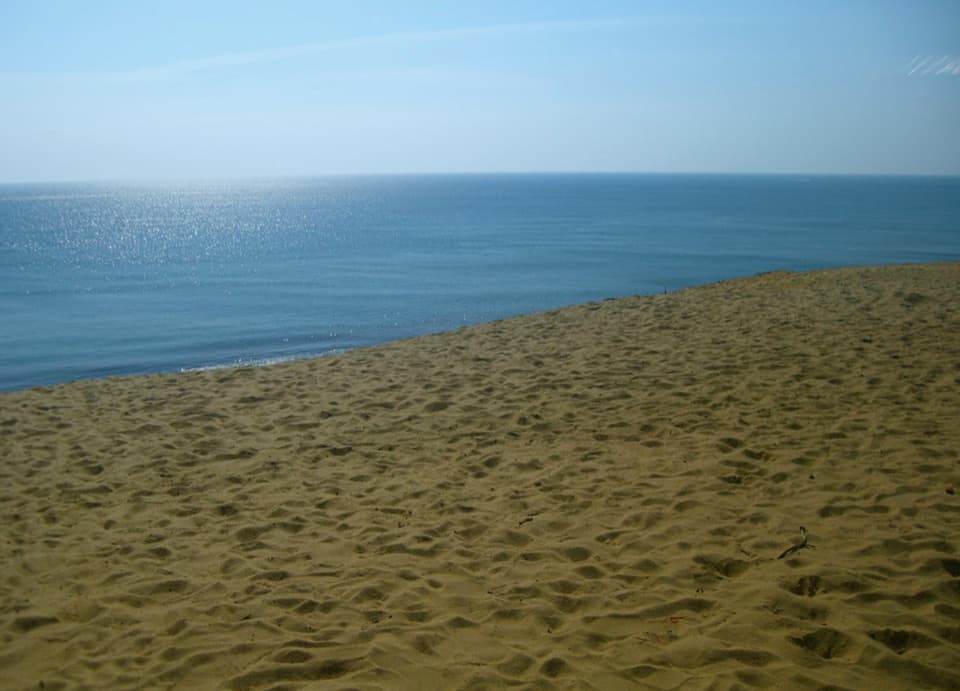 ModerateDuck Pond, Great Pond and White Crest Beach Loop5.9 mi · 2.5 hr · 3.2 mi awayTwo kettle ponds and a beach in one sandy loop.
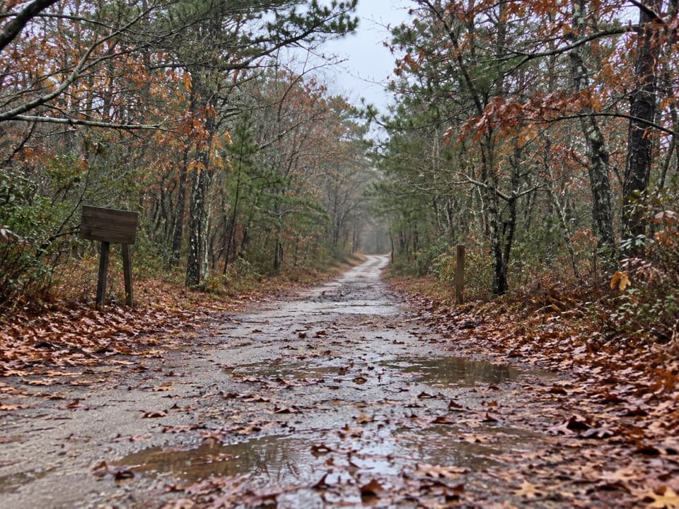 EasyOld Fox Bottom Road1.8 mi · 1 hr · 3.6 mi awayA Cold War fire road ends at an eroding Atlantic bluff.
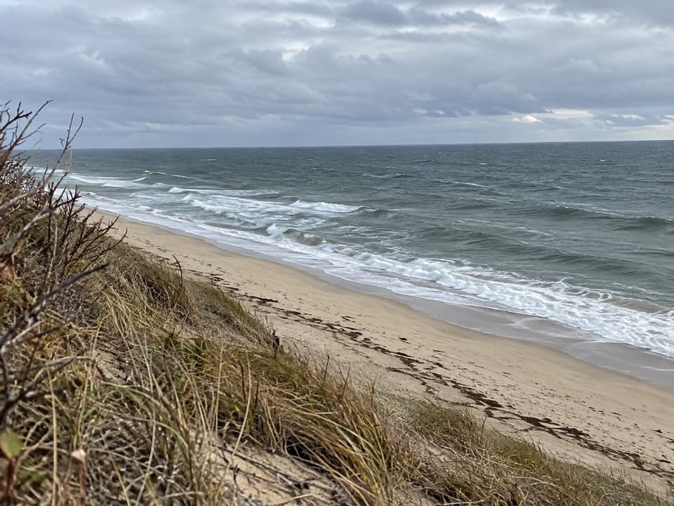 ModerateGreat Dunes Trail2.6 mi · 1.8 hr · 3.9 mi awayA shaded approach opens to an Atlantic bluff above the waves.
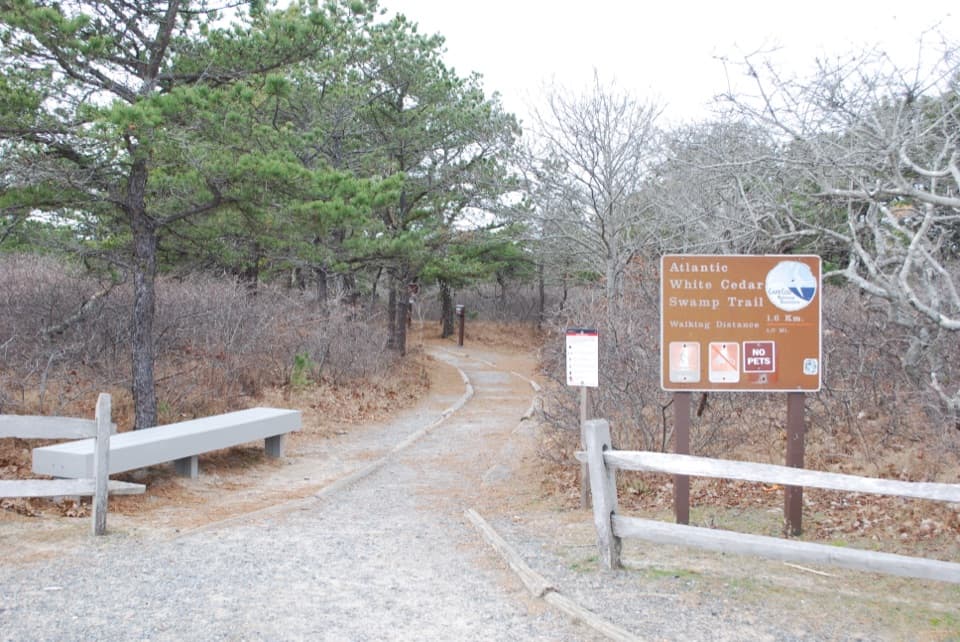 ModerateAtlantic White Cedar Swamp Trail1.2 mi · 1 hr · 4.7 mi awayBoardwalk through cedar swamp; half a mile of soft sand after.
 Picnic area · 0.5 mi awayGreat Island Picnic AreaA shady table stop before or after the Great Island hike
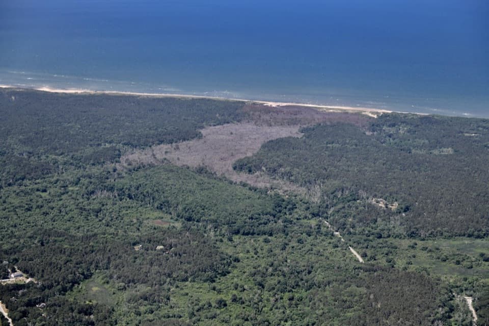 Beach · 1.4 mi awayDuck Harbor BeachDuck Harbor’s rocky shore frames a Cape Cod Bay sunset.
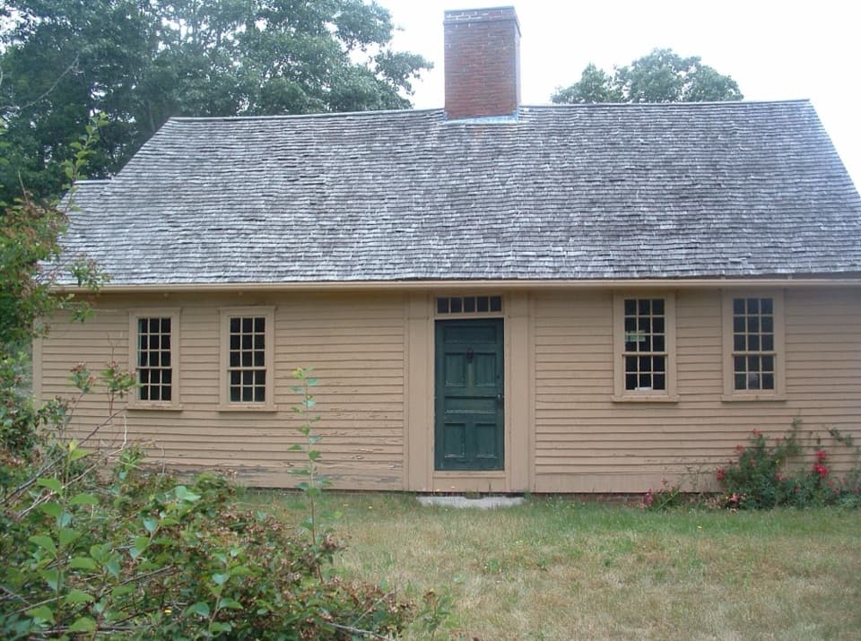 Sight · 1.8 mi awayAtwood-Higgins HouseFrom half-Cape to full Cape, then a four-decade second life.
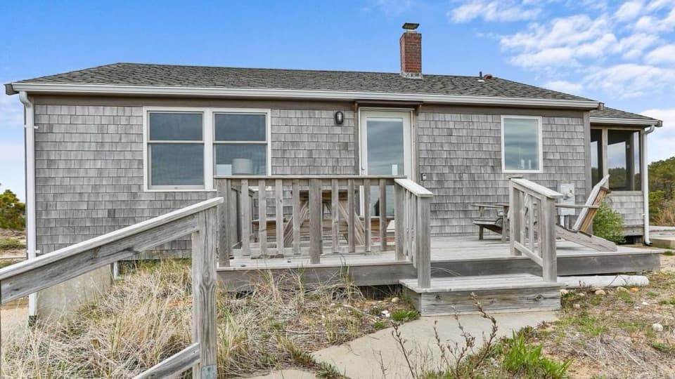 Lodging · 2.2 mi awayBay View HouseA Cape Cod Bay stay with a furnished deck and sunset views.
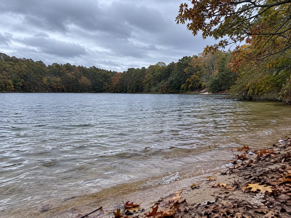 Beach · 2.9 mi awayLong Pond BeachA clear-water swim in a glacial kettle pond.
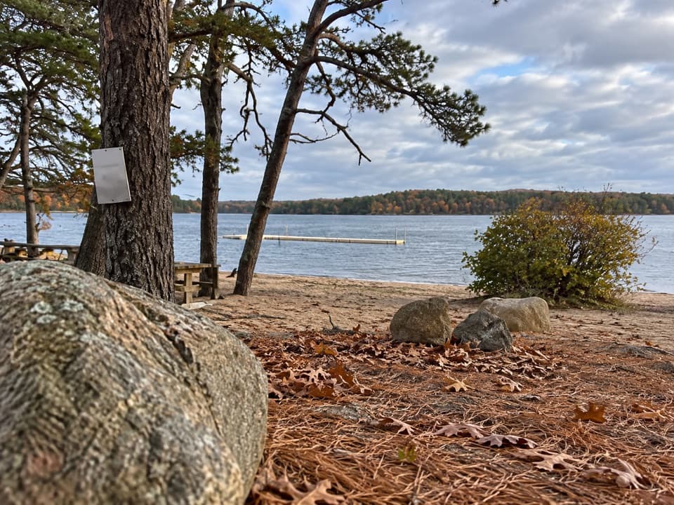 Beach · 3.2 mi awayGull Pond Landing BeachA small sandy swim on a 15,000-year-old kettle pond.
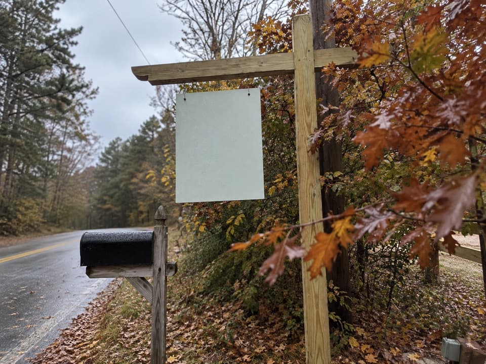 Campground · 3.2 mi awayWellfleet Hollow State CampgroundA wooded base for Cape beaches, the Rail Trail, and Duck Pond.
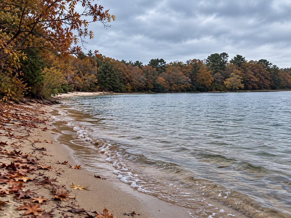 Beach · 3.3 mi awayGreat Pond BeachA shaded freshwater swim, reached by long stairs and a wade.
Parkwolf’s Cape Cod ranking

The audio tour guide for the drive, plus offline maps, trails, and wildlife heatmaps for when the signal drops.