Parking
Access is where Fox Bottom Road leaves Collins Road in Truro. No designated public parking area or lawful roadside parking arrangement could be verified; confirm before leaving a vehicle.
Cape Cod National Seashore, MA
A Cold War fire road ends at an eroding Atlantic bluff.
Overview
Map & elevation
Plan your hike

The highest, rockiest slopes around here are a summer buffet for grizzly bears.
Cape Cod Tour Guide
Parkwolf is a GPS audio tour guide for Cape Cod National Seashore. As you drive, it chimes in with what’s ahead: hidden gems, upcoming stops, history, geology, and wildlife, right through your car’s speakers.
Recorded for this area
A Plover’s First Meal“A piping plover chick starts finding its own food within hours of hatching. It can walk long before it can fly, following its parents across the beach for tiny worms, crustaceans, and insects.”
Plays on the road 0.6 mi from the trailhead in the Parkwolf Cape Cod Tour Guide.
More stories near here in the app
“Fantastic app with many points of information… It’s great to just turn on while you’re driving and it gives you an audio tour of the national Park. We love it!!!!”


Trail guide
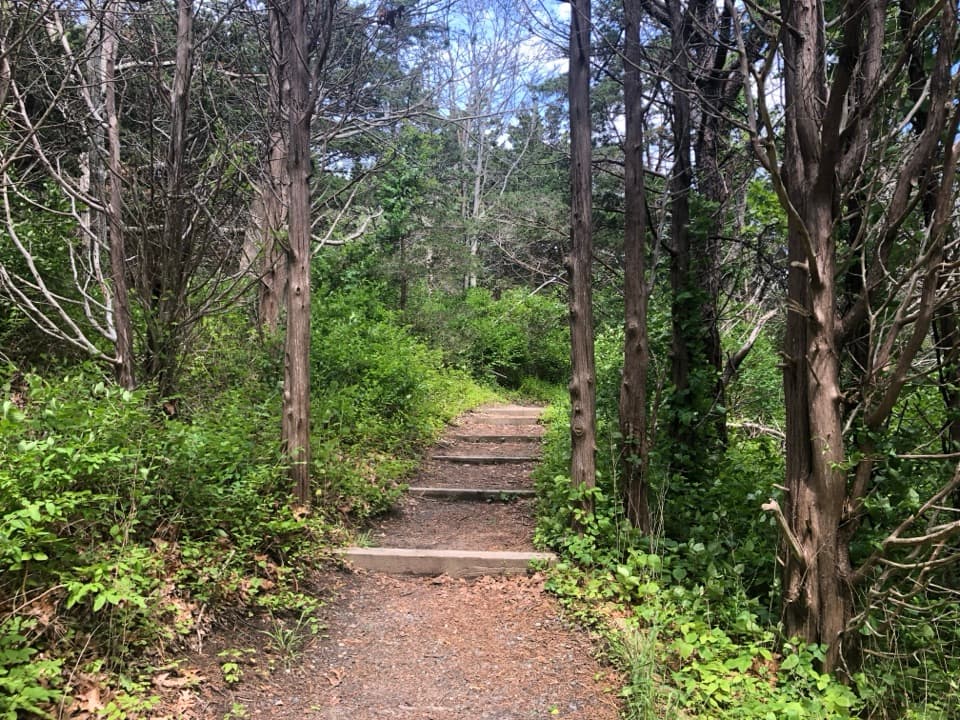
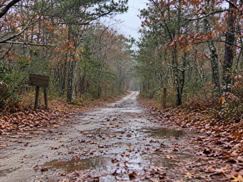
Old Fox Bottom Road is an easy out-and-back from Collins Road through Truro woods to an Atlantic bluff. The connected route is about 0.92 mile each way, or 1.84 miles round trip; allow roughly an hour. Most of it is a weathered paved fire road, with the last quarter mile turning into a rougher old cart road. Some published itineraries list 2.5 miles round trip, but their extra route could not be traced to a clear endpoint; this description follows the connected road to the bluff. No designated public lot or legal roadside parking was verified at the Collins Road start.
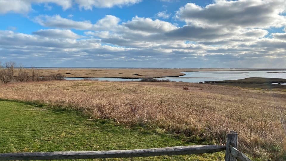
The woods enclose most of the walk, and the route is easy to follow until the paved surface gives way to the older cart road. The ocean opens at the end, where the path reaches an exposed bluff rather than a built overlook. The moraine edge is eroding: a local walker estimated about 30 feet of retreat over six years. Enjoy the view well back from the edge.
In the early 1950s, MITRE built a prototype radar system in South Truro to detect Soviet bombers. Three radar units along Fox Bottom Road sent digital data by modem to MIT’s Whirlwind computer. A local computer historian describes the link as an early modem-to-computer connection; his idea that the internet began here is an interpretation, not a settled conclusion. The paved road is a remnant of that research site. The former laboratory buildings were reported razed in 2025, so don’t expect them as a destination. Park rules permit leashed pets on fire roads but prohibit them on most walking trails; because this route’s final cart-road section has no official classification, check with the park before bringing a dog.
Wildlife
 459 sightingsGray SealMost seen around 11 AMSighting map
 84 sightingsCoyoteMost seen around 6 AMSighting map
 297 sightingsRed FoxMost seen around 7 PMSighting map
 49 sightingsWhite-tailed DeerMost seen around 6 AMSighting map
 263 sightingsHorseshoe CrabMost seen around 8 PMSighting map
 73 sightingsGreat Blue HeronMost seen around 6 PMSighting map
Sighting maps show where each species has been reported across Cape Cod. Wildlife moves, so no sighting is guaranteed.
Keep exploring
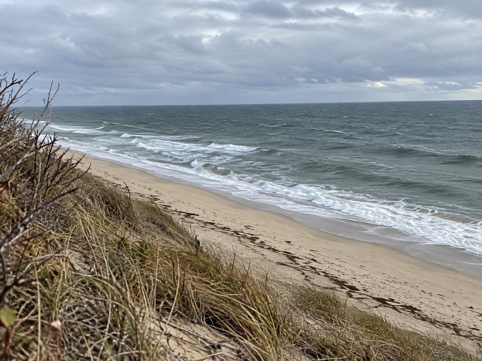 ModerateGreat Dunes Trail2.6 mi · 1.8 hr · 0.4 mi awayA shaded approach opens to an Atlantic bluff above the waves.
 ModerateHiggins Hollow Loop3.1 mi · 2 hr · 2 mi awayLow hills, an ocean overlook, and a cranberry boghouse.
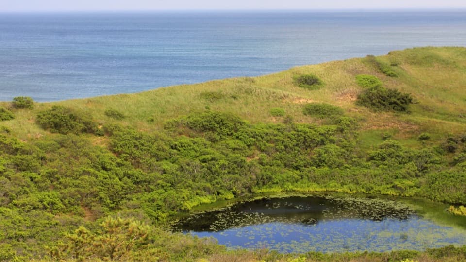 ModerateBearberry Hill Overlook Trail0.5 mi · 45 min · 2 mi awayTwo summit spurs give you Atlantic and cranberry-bog views.
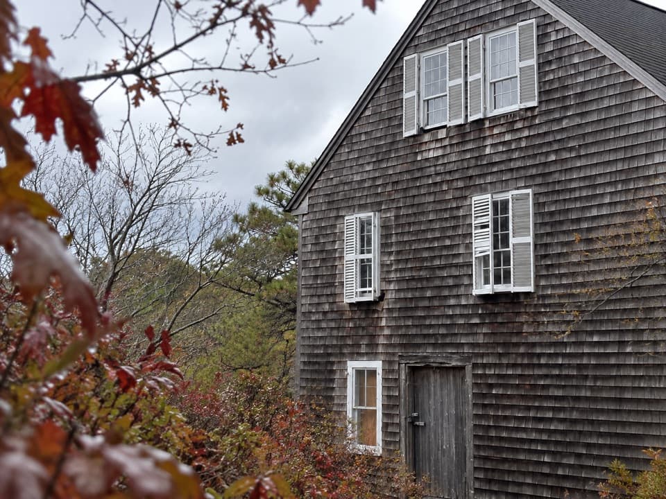 ModeratePamet Cranberry Bog Trail1.8 mi · 1.3 hr · 2 mi awayA woodland walk to the former cranberry Bog House
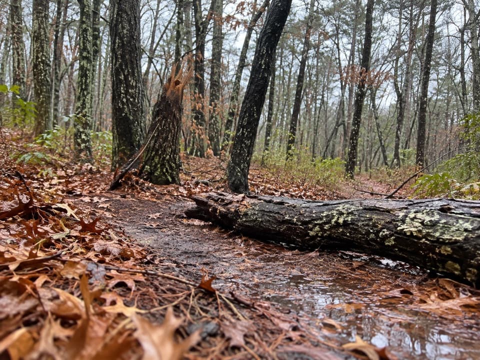 EasyAround Dyer Pond Loop1.3 mi · 40 min · 2.3 mi awayA compact loop circles a freshwater pond through Wellfleet woods.
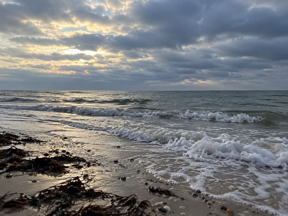 EasyRyder Beach Loop3.1 mi · 1.5 hr · 2.7 mi awayA bay loop pairs rail history, open shore, and sandy roads.
 ModerateDuck Pond, Great Pond and White Crest Beach Loop5.9 mi · 2.5 hr · 2.8 mi awayTwo kettle ponds and a beach in one sandy loop.
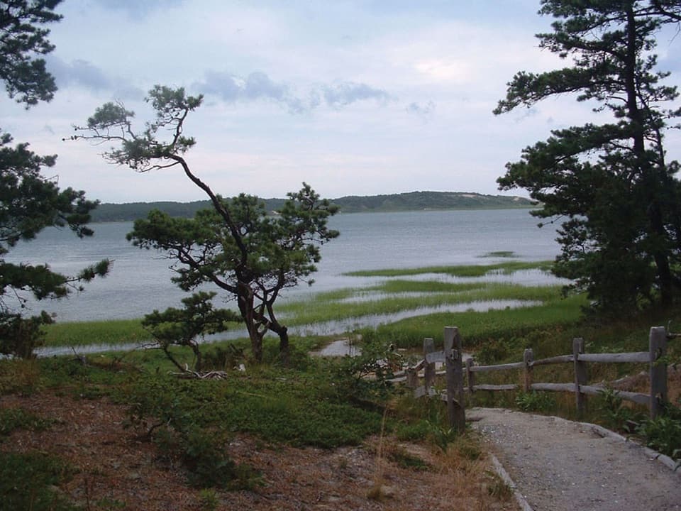 ModerateGreat Island Trail3.9 mi · 3 hr · 3.6 mi awayA sandy loop through pine, marsh, and a vanished colonial tavern.
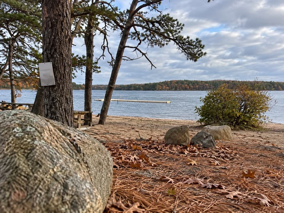 Beach · 1.4 mi awayGull Pond Landing BeachA small sandy swim on a 15,000-year-old kettle pond.
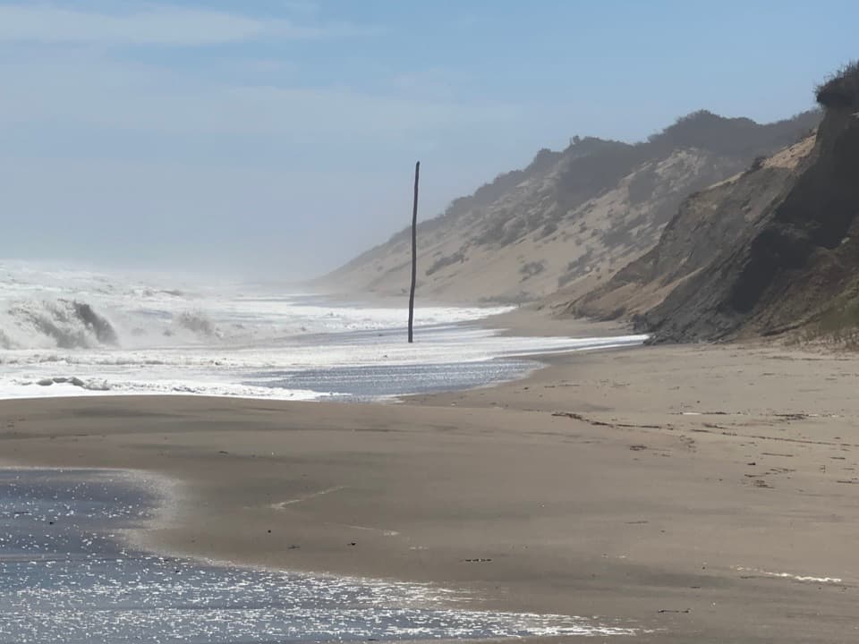 Beach · 1.7 mi awayNewcomb Hollow BeachA gentler dune descent leads to a wide, surfy Atlantic shore.
 Beach · 1.9 mi awayBallston BeachWalk a broad Atlantic shore and discover a vanished resort.
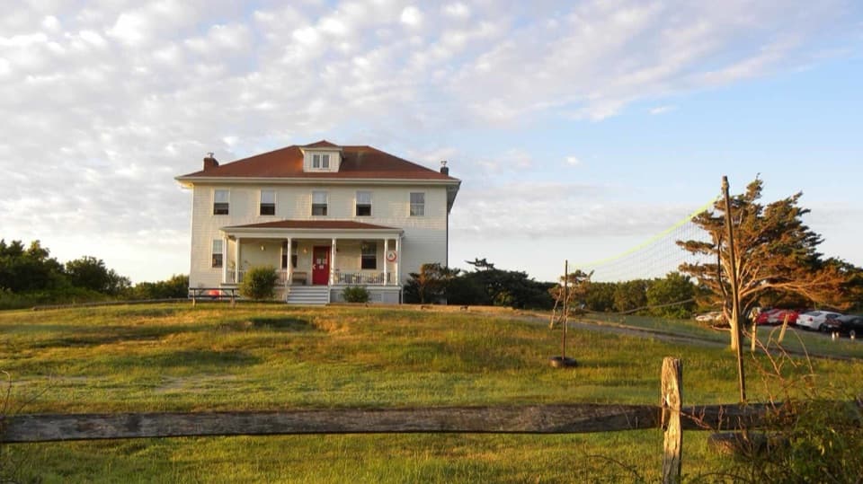 Lodging · 2 mi awayTruro HostelSleep in a former Coast Guard station near Ballston Beach.
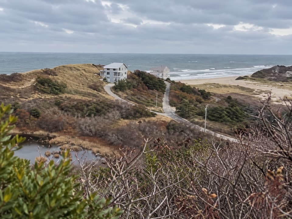 Sight · 2.1 mi awayBearberry Hill OverlooksTwo hilltop spurs trade steep steps for beach and bog views.
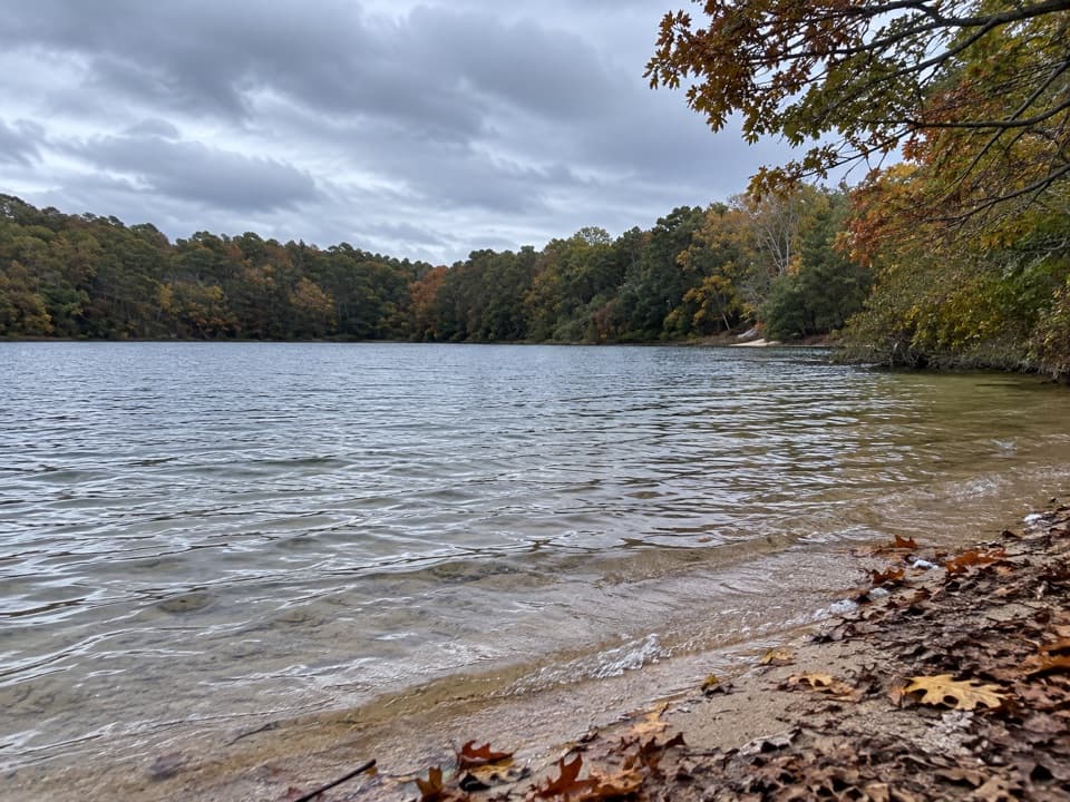 Beach · 2.1 mi awayLong Pond BeachA clear-water swim in a glacial kettle pond.
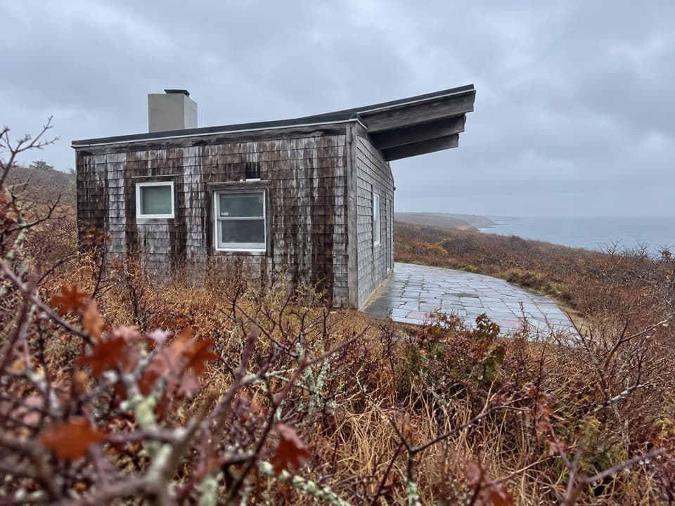 Sight · 2.1 mi awayPamet Cranberry Bog HouseA weathered link to Truro's cranberry-growing past.
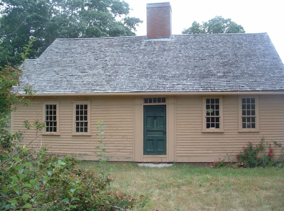 Sight · 2.2 mi awayAtwood-Higgins HouseFrom half-Cape to full Cape, then a four-decade second life.
Parkwolf’s Cape Cod ranking

The audio tour guide for the drive, plus offline maps, trails, and wildlife heatmaps for when the signal drops.