Around Dyer Pond Loop in Cape Cod National Seashore

Cape Cod National Seashore, MA

Around Dyer Pond Loop

A compact loop circles a freshwater pond through Wellfleet woods.

Length
1.3mi
Time
40min
Elev. change
85ft
Difficulty
Easy
  • Loop
  • No dogs
  • High point 108 ft

Hear the audio tour

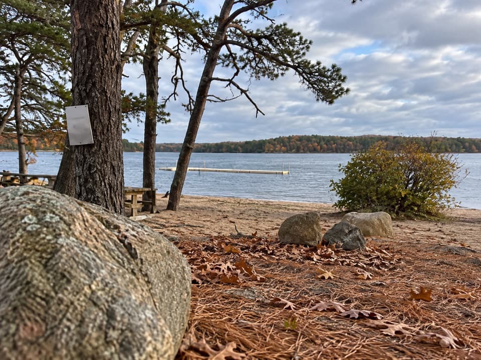
Long Pond Beach in Wellfleet

Overview

About Around Dyer Pond Loop

Why go

  • A complete pond circuit in about 40 minutes
  • Low terrain and a quiet woodland setting

Heads up

  • Unnamed path links make the route harder to follow
  • No pond-area vehicle parking in summer

Map & elevation

The route

Loading the Cape Cod map
Full map
Elevation23–108 ft
TrailheadDyer Pond Fire Gate at Forest Road and Way 62541.94170, -70.01099
Keep this map with you offline in the Parkwolf app

Plan your hike

Before you go

Parking

No trailhead lot is identified for this loop. Use designated Dyer Pond parking only; vehicles are prohibited in the pond area in summer and capacity is limited to three vehicles in other months. The nearest listed fire-road gates are at Cahoon Hollow Road and Forest Road, and at Forest Road and Way 625. Check posted signs before parking or entering.


Safety

The loop joins unnamed paths with NPS fire roads; no official map confirms the full circuit, so check gates and posted access signs. Pets are not allowed on most walking trails, and pond-area access is seasonal; do not assume a dog can complete the whole loop.

1 active Cape Cod alert

  • CautionSharks active in park waters through OctoberSharks are active in park waters through October; heed beach guidelines and signage before entering the water.Official details
Cape Cod alerts
A park ranger sits on a dash-mounted phone, talking, as Parkwolf’s Tour Guide plays “Army Cutworm Moths: A Grizzly Bear Buffet” on Grand Loop Road below Dunraven Pass in Yellowstone
Parkwolf Tour GuideThe highest, rockiest slopes around here are a summer buffet for grizzly bears.

Cape Cod Tour Guide

Your drive to Around Dyer Pond Loop, narrated.

Parkwolf is a GPS audio tour guide for Cape Cod National Seashore. As you drive, it chimes in with what’s ahead: hidden gems, upcoming stops, history, geology, and wildlife, right through your car’s speakers.

Recorded for this area

Long Pond Beach in Wellfleet
0:00 / 0:29
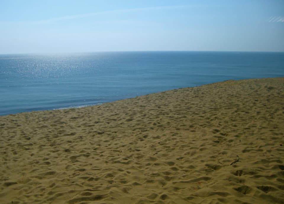
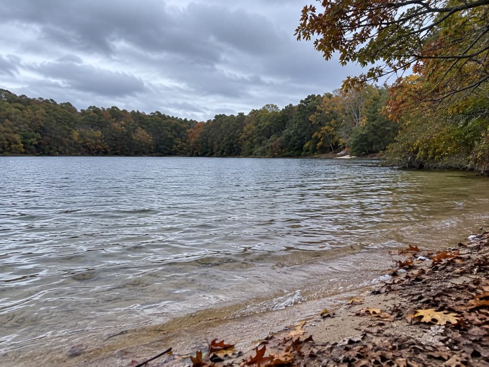
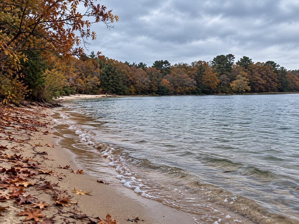
“Long Pond Beach in Wellfleet is coming up, with clear freshwater and a wooded bank across the pond.”

Plays on the road 0.3 mi from the trailhead in the Parkwolf Cape Cod Tour Guide.

More stories near here in the app

  • Great Pond Beach in Wellfleet
  • Summer Houses as Experiments
  • Gull Pond Landing Beach
  • The Work After the Catch
  • 56 audio storiesacross Cape Cod’s roads, triggered by GPS as you drive
  • Wildlife heatmapsfor Gray Seal, Coyote, Red Fox, and 13 more
  • Works offlinemaps, 32 trails, 55 places, and audio download before you lose signal
  • CarPlay readysimple controls built for the drive
★★★★★
“Fantastic app with many points of information… It’s great to just turn on while you’re driving and it gives you an audio tour of the national Park. We love it!!!!”
JMJamesApp Store review
Download Parkwolf on the App StoreGet Parkwolf on Google Play

4.7 from 8,600+ ratings

Trail guide

Hiking Around Dyer Pond Loop

A short wooded loopAround Dyer Pond Loop is a low, 1.

Around Dyer Pond Loop is a low, 1.25-mile circuit through the woods beside a freshwater pond in Wellfleet. It begins at the Forest Road gate at Way 625, circles back to that same gate, and takes about 35 to 50 minutes at a relaxed pace. The route is a good short walk if you are already near the pond; it is not a signed nature trail or a long waterside stroll. The full circuit includes several connected path and fire-road segments. A shorter distance sometimes attached to the route covers only one section, not the complete loop.

How the circuit runsFrom the gate, the loop follows narrow wooded footpaths around the pond's west and south sides,…

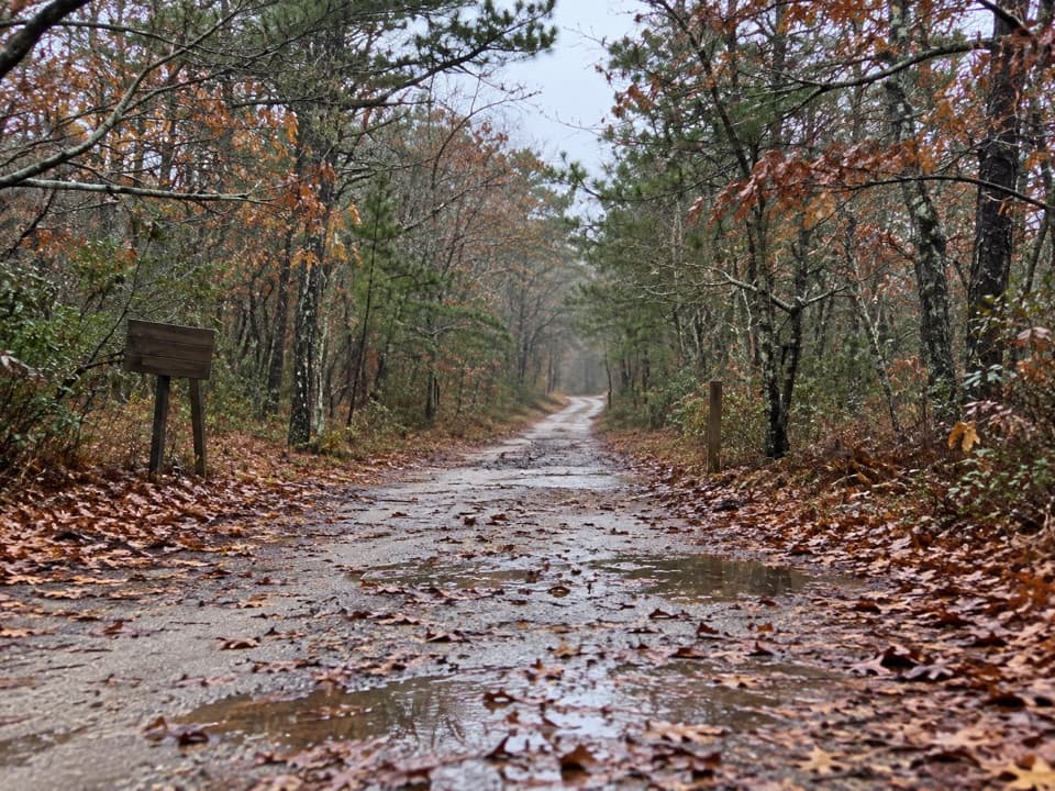
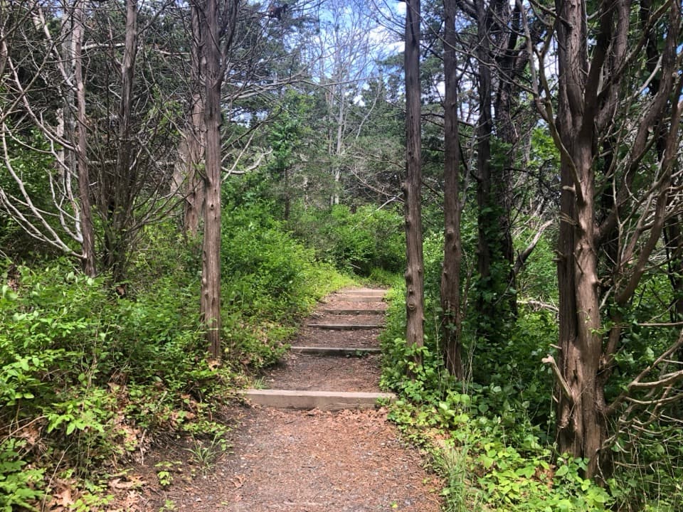
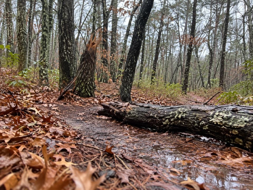
From the gate, the loop follows narrow wooded footpaths around the pond's west and south sides, then uses unpaved Forest Road tracks on the east and north to return. Some stretches stay close to the water; others run through trees with the pond out of sight. Expect dirt, leaf cover and rougher road tread, not a boardwalk or consistently surfaced path. The terrain is low, with small rises rather than a sustained climb.

A sensitive pond edgeDyer Pond is a freshwater pond within the seashore forest.

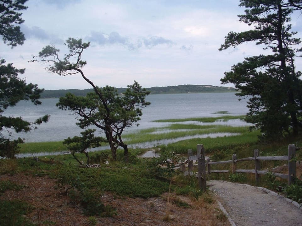
Dyer Pond is a freshwater pond within the seashore forest. The mapped path circles it but does not stay on the shore. A 2005 local conservation record noted that erosion-control fencing was being installed at the pond, so stay on existing paths and follow any current barriers instead of cutting through vegetation to the water.

Access, parking and petsThis assembled loop is not one of the National Seashore's 11 designated year-round walking…

This assembled loop is not one of the National Seashore's 11 designated year-round walking trails, and there is no official map showing the full circuit. The National Park Service identifies fire-road gates at Cahoon Hollow Road and Forest Road, and at Forest Road and Way 625; pedestrians may use fire roads. Check the signs at the unmarked path links before starting. Use designated Dyer Pond parking only: vehicles are prohibited in the pond area in summer, with space for three vehicles in other months. Pet access differs by segment: pets are barred from most walking trails, while leashed pets may use fire roads and freshwater-pond areas only from October 16 through May 14. Because this loop mixes paths and fire roads and is not an official trail, leave pets behind unless the Seashore confirms the full route is allowed.

Wildlife

Wildlife in Cape Cod

All Cape Cod wildlife maps

Sighting maps show where each species has been reported across Cape Cod. Wildlife moves, so no sighting is guaranteed.

Keep exploring

Near Around Dyer Pond Loop

See it all on the map

Trails that start nearby

Places near the trailhead

Parkwolf’s Cape Cod ranking

Top-rated trails in Cape Cod

All 32 trails
  1. 1Great Island TrailModerate · 3.9 mi
  2. 2Fort Hill TrailEasy · 1 mi
  3. 3Atlantic White Cedar Swamp TrailModerate · 1.2 mi
  4. 4Nauset Marsh TrailEasy · 1.3 mi
  5. 5Hatches Harbor TrailModerate · 3.5 mi
  6. 6Long Point Lighthouse TrailModerate · 5.5 mi

Take Parkwolf to Cape Cod.

The audio tour guide for the drive, plus offline maps, trails, and wildlife heatmaps for when the signal drops.

4.7 from 8,600+ ratings

Download Parkwolf on the App StoreGet Parkwolf on Google Play