Parking
The east access is where the ADT leaves Notom-Bullfrog Road; the route ends on Oak Creek Road near UT 12. No dedicated parking lot or shuttle arrangement was verified, so plan transport between the one-way endpoints.
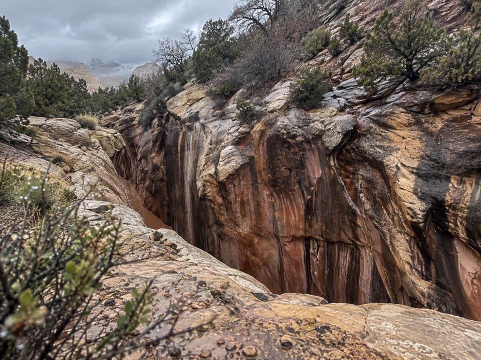
Capitol Reef National Park, UT
Remote canyon climb, narrows, and more than two dozen creek crossings.
Overview
Map & elevation
Plan your hike

The highest, rockiest slopes around here are a summer buffet for grizzly bears.
Capitol Reef Tour Guide
Parkwolf is a GPS audio tour guide for Capitol Reef National Park. As you drive, it chimes in with what’s ahead: hidden gems, upcoming stops, history, geology, and wildlife, right through your car’s speakers.
See the Capitol Reef audio tourRecorded for this area
A Partnership on the Rock“Some of the orange, yellow, or green patches on exposed rock are lichens. A lichen is a partnership: a fungus provides shelter and absorbs moisture, while algae or similar tiny organisms use sunlight to make food.”
Plays on the road 0.1 mi from the trailhead in the Parkwolf Capitol Reef Tour Guide.
More stories near here in the app
“Fantastic app with many points of information… It’s great to just turn on while you’re driving and it gives you an audio tour of the national Park. We love it!!!!”


Trail guide
This is the 18.36-mile, one-way Capitol Reef passage of the American Discovery Trail, from the ADT junction on Notom-Bullfrog Road to Oak Creek Road near UT 12. It crosses the Waterpocket Fold and follows Oak Creek through narrow canyon country before climbing west onto forest roads. This is a remote through-route, not a loop or casual day hike. The profile rises about 3,600 feet from east to west, with roughly 3,800 feet of sampled climbing. Allow about 12 hours with stops, or split it with a permitted overnight.
The route leaves Notom-Bullfrog Road on a dirt track, follows unmaintained paths and washes across the Fold, then enters Oak Creek’s narrowing sandstone canyon. Hikers face more than two dozen creek crossings and pass a waterfall and natural arch. The route later climbs onto rough Forest Service tracks toward its west end. Expect track, faint path, wash bottom, and creek edges rather than a signed tread throughout.
If you’re looking for the short Oak Creek Narrows walk, that’s a separate 2.2-mile out-and-back from Notom Road. The ADT passage keeps going west toward UT 12.
This route suits experienced, self-sufficient hikers who can navigate remote terrain. Canyon footing and routefinding are part of the work, and the climb is sustained. No reliable food or water resupply point was identified along this passage, and cell service is usually poor or absent. Carry the water you need for the full section.
Start where the ADT leaves Notom-Bullfrog Road and finish on Oak Creek Road near Oak Creek Campground and UT 12. It’s one-way, so arrange transport between ends; no designated parking lot or shuttle was verified. Narrow canyons are especially risky during the usual July–September flash-flood season. Check the forecast and stay out of canyon narrows when storms threaten. A free in-person backcountry permit is required for an overnight in the park. Pets are prohibited on trails and in off-trail or backcountry areas.
Wildlife
 50 sightingsBighorn SheepMost seen around 6 PMSighting map
 322 sightingsMule DeerMost seen around 6 PMSighting map
 70 sightingsMarmotMost seen around 7 AMSighting map
 13 sightingsCottontail RabbitMost seen around 7 PMSighting map
 33 sightingsTurkeyMost seen around 6 AMSighting map
 14 sightingsRavenMost seen around 9 AMSighting map
Sighting maps show where each species has been reported across Capitol Reef. Wildlife moves, so no sighting is guaranteed.
Keep exploring
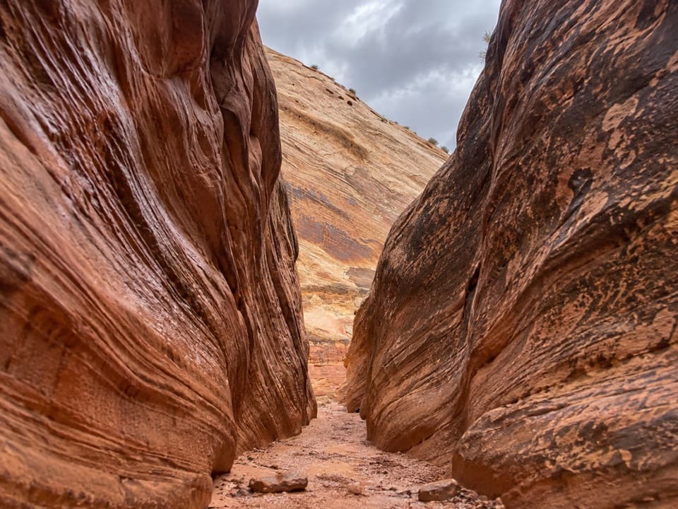 ChallengingSheets Gulch13.4 mi · 7 hr · 0.9 mi awayA long sandstone slot with chockstones and a cottonwood turnaround.
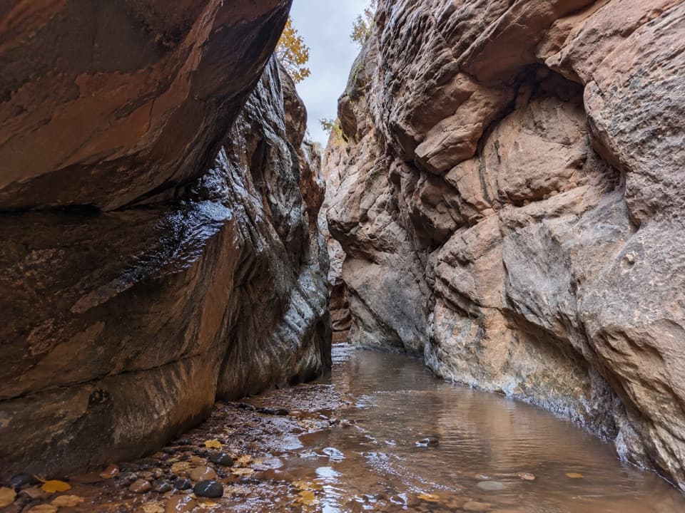 ModerateOak Creek Canyon2.2 mi · 1.5 hr · 3.5 mi awayA rugged 2.2-mile creek walk through sculpted sandstone narrows
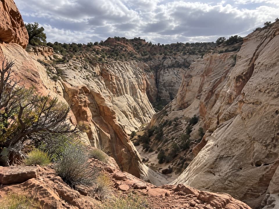 ModerateFive Mile Wash Trail4 mi · 3 hr · 3.6 mi awayA rough wash walk that tightens into pale sandstone narrows.
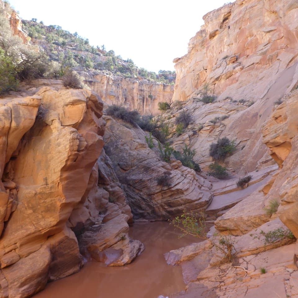 ChallengingCottonwood Wash6.6 mi · 5 hr · 4.5 mi awayA sandy wash gives way to scrambling and a 35-foot pour-off.
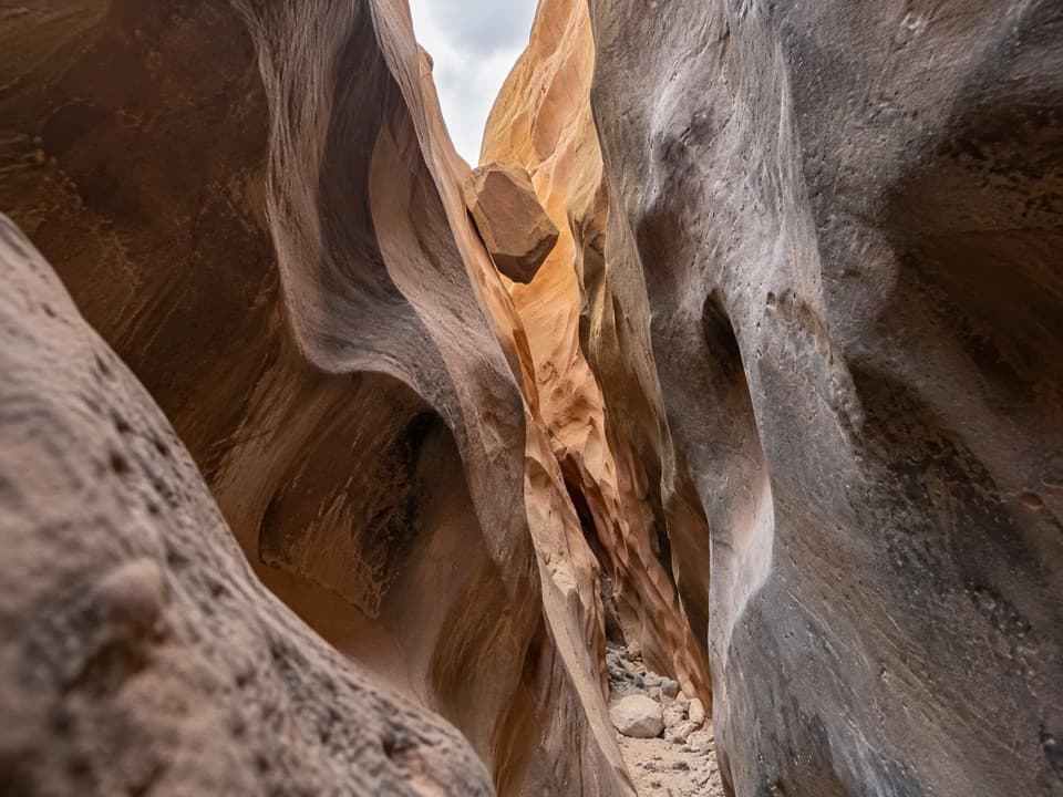 ChallengingBurro Wash6.8 mi · 5 hr · 5.6 mi awayA long sandy approach leads to shoulder-width sandstone narrows.
 ModerateRed Canyon Trail and Route5.6 mi · 3.5 hr · 6.7 mi awayA sandy wash leads to a boulder-blocked Wingate amphitheater.
 ModerateLower Pleasant Creek6.8 mi · 4.5 hr · 8.1 mi awayA sandstone canyon walk that keeps sending you across the creek.
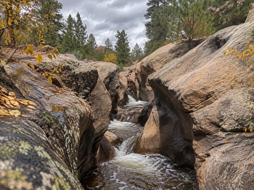 ModerateUpper Pleasant Creek Route7.6 mi · 5 hr · 8.1 mi awayWalk a narrowing creek canyon to cascades in pale sandstone.
 Campground · 6.7 mi awayCedar Mesa CampgroundA remote base for Red Canyon and the Waterpocket Fold.
 Sight · 9.1 mi awayThe TanksSmall rain-fed pools turn pale sandstone into living habitat.
 Sight · 9.1 mi awayPioneer RegisterTwo prospectors left their names here on September 20, 1871.
 Picnic area · 9.2 mi awayCapitol Gorge Picnic AreaA covered picnic stop at the start of a storied gorge walk.
 Picnic area · 10 mi awayScenic Drive Picnic AreaA sheltered lunch stop at the end of the paved Scenic Drive.
Parkwolf’s Capitol Reef ranking

The audio tour guide for the drive, plus offline maps, trails, and wildlife heatmaps for when the signal drops.





