Cottonwood Wash in Capitol Reef National Park

Capitol Reef National Park, UT

Cottonwood Wash

A sandy wash gives way to scrambling and a 35-foot pour-off.

Photo: National Park Service
Length
6.6mi
Time
5hr
Elev. change
544ft
Difficulty
Challenging
  • No dogs
  • High point 5,673 ft

Hear the audio tour

Cottonwood Wash

Overview

About Cottonwood Wash

Why go

  • A true narrow slot with sculpted sandstone, pools, and a clear terminal pour-off.
  • The main obstacle and turn-around points are described on the official route map.

Heads up

  • A long sandy approach precedes the narrows.
  • Unmarked route-finding, a quarter-mile boulder scramble, and possible deep wading or swimming.

Map & elevation

The route

Loading the Capitol Reef map
Full map
Elevation5,129–5,673 ft
TrailheadCottonwood Wash Trailhead, Notom–Bullfrog Road crossing38.16541, -111.08966
Keep this map with you offline in the Parkwolf app

Plan your hike

Before you go

Parking

Start at the signed Cottonwood Wash crossing, 9.1 miles south of UT-24 on Notom–Bullfrog Road. A parking and dispersed-camping area sits beside the road. The unpaved approach is usually passable to passenger cars but can become impassable after mud or flood damage; check current road conditions before leaving. A short motorized route into the wash is for high-clearance vehicles only.

Best time to go

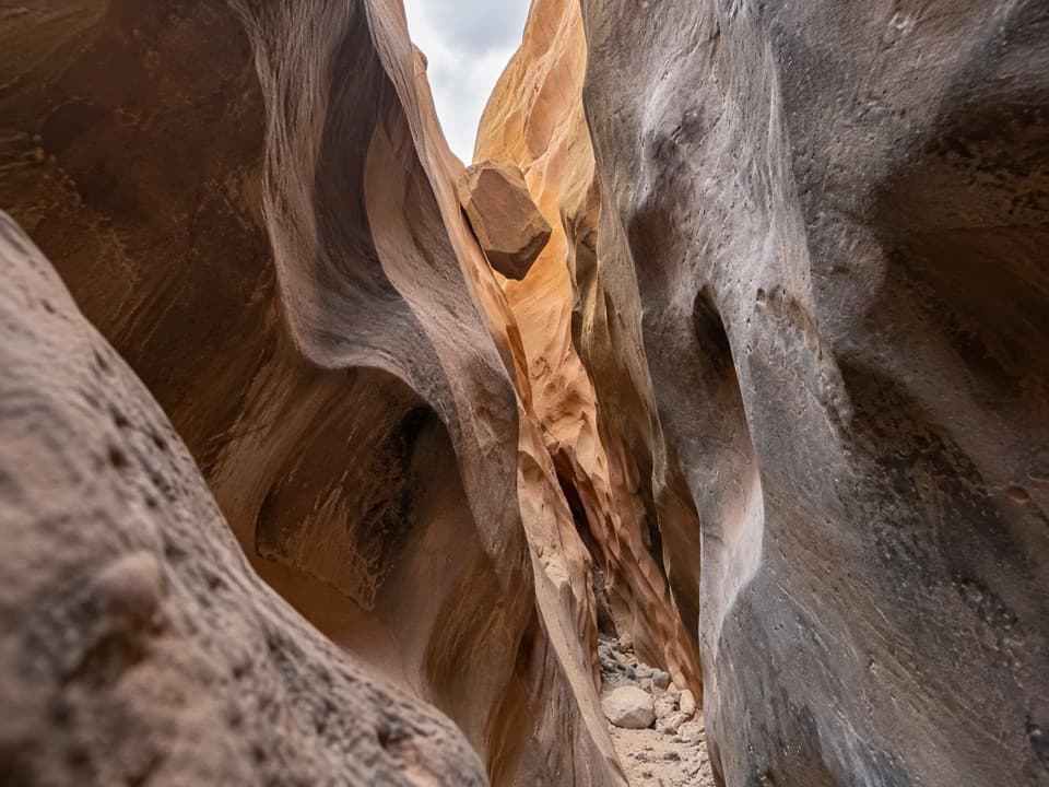
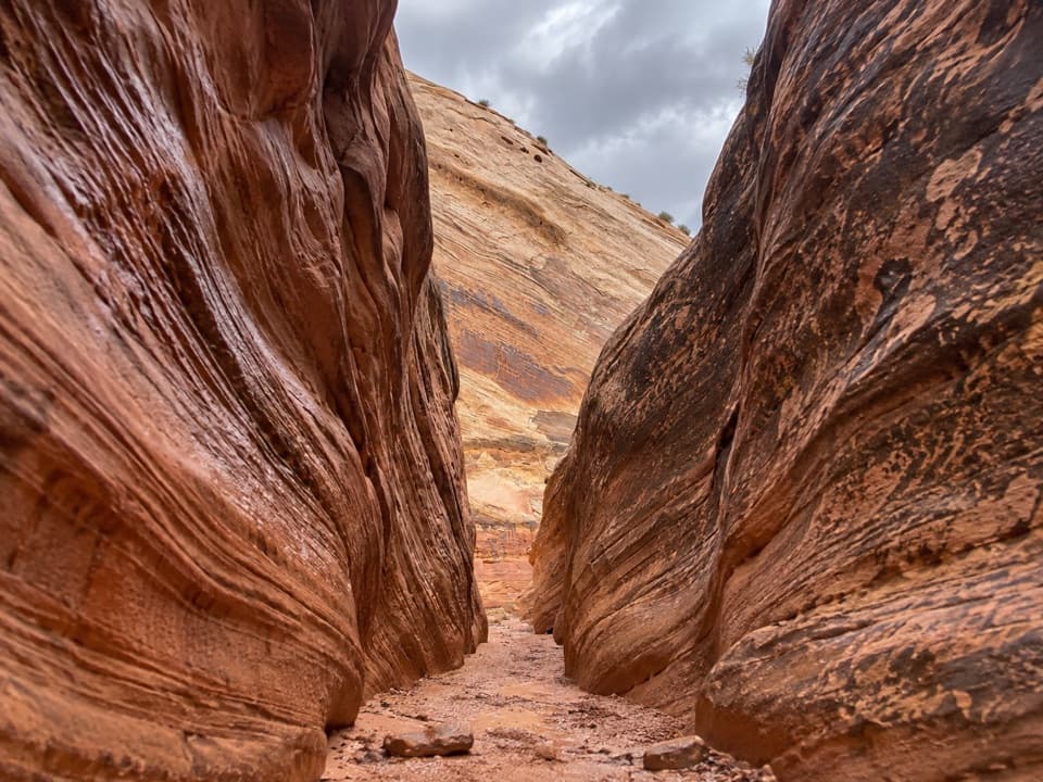
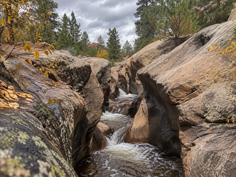
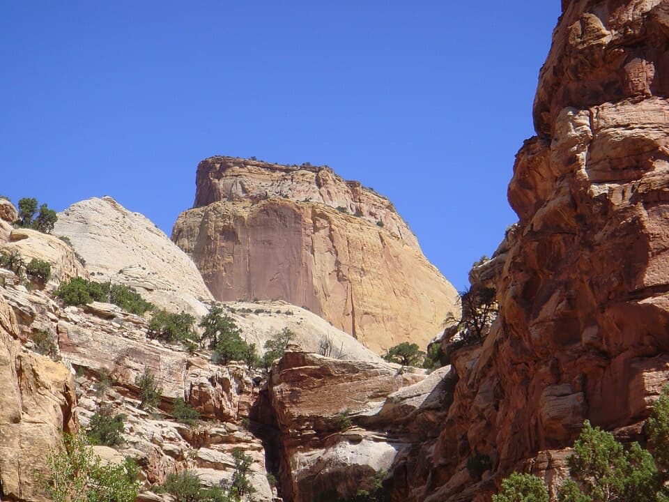
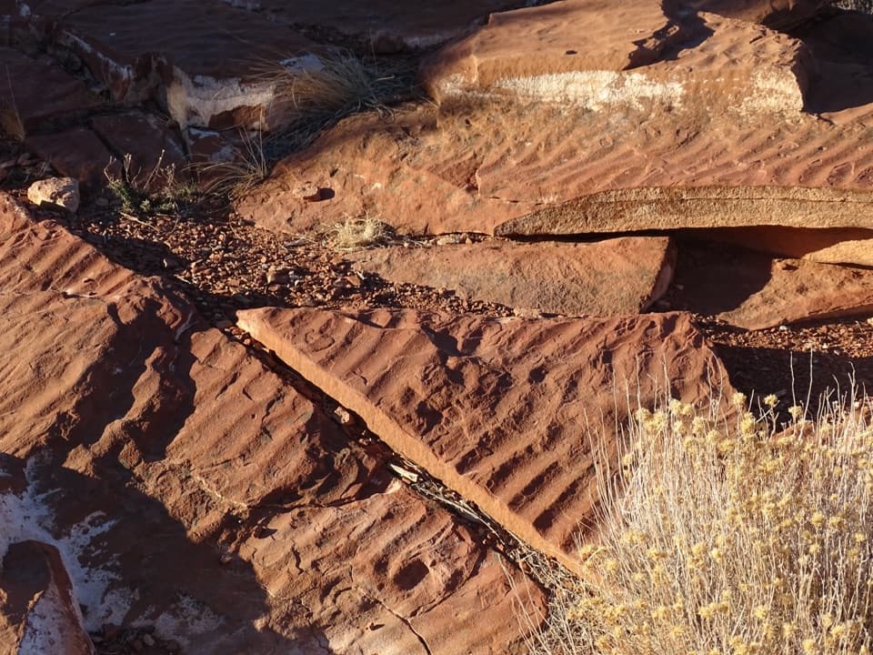
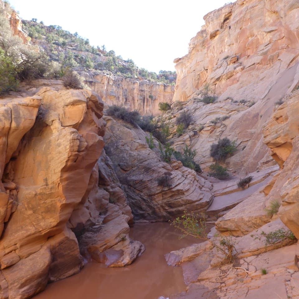
Cottonwood Wash cuts through Navajo Sandstone in the Waterpocket Fold. The route changes from a broad sandy drainage to sculpted walls, narrow slots, boulder jams, and water-carved pools. Water levels vary, so the pool shown in trail photos may be shallow or dry on another visit. When a pool is present, frame it with the enclosing sandstone walls rather than photographing only the water.

Safety

This unmaintained, largely unmarked canyon route is for experienced canyon-country hikers. A quarter-mile boulder jam requires scrambling, and deep pools may require wading or swimming. Natural water is unreliable and summer heat is extreme. Flash floods can be fatal; do not enter if rain is possible.

2 active Capitol Reef alerts

  • CautionFlash-flood hazard in canyons and washesHeavy rains can cause sudden flooding in Capitol Reef’s canyons and washes; do not hike or drive through floodwater.Official details
  • CautionE. coli advisory for Fremont River and Sulphur CreekDo not swim in the Fremont River or Sulphur Creek or get water in your mouth: NPS reports elevated E. coli in both waterways, and Utah DEQ has issued a warning advisory. - DEQ reports Sulphur Creek E.Official details
Capitol Reef alerts
A park ranger sits on a dash-mounted phone, talking, as Parkwolf’s Tour Guide plays “Army Cutworm Moths: A Grizzly Bear Buffet” on Grand Loop Road below Dunraven Pass in Yellowstone
Parkwolf Tour GuideThe highest, rockiest slopes around here are a summer buffet for grizzly bears.

Capitol Reef Tour Guide

Your drive to Cottonwood Wash, narrated.

Parkwolf is a GPS audio tour guide for Capitol Reef National Park. As you drive, it chimes in with what’s ahead: hidden gems, upcoming stops, history, geology, and wildlife, right through your car’s speakers.

See the Capitol Reef audio tour

Recorded for this trailhead

Cottonwood Wash
0:00 / 0:31
“You're coming up on the Cottonwood Wash trailhead, where a long sandy approach leads into sculpted sandstone narrows.”

Plays as you drive up to this trailhead in the Parkwolf Capitol Reef Tour Guide.

More stories near here in the app

  • Five Mile Wash
  • Burro Wash
  • A Porcupine’s Winter Meal
  • The Towhee’s Backward Hop
  • 116 audio storiesacross Capitol Reef’s roads, triggered by GPS as you drive
  • Wildlife heatmapsfor Bighorn Sheep, Mule Deer, Marmot, and 13 more
  • Works offlinemaps, 48 trails, 52 places, and audio download before you lose signal
  • CarPlay readysimple controls built for the drive
★★★★★
“Fantastic app with many points of information… It’s great to just turn on while you’re driving and it gives you an audio tour of the national Park. We love it!!!!”
JMJamesApp Store review
Download Parkwolf on the App StoreGet Parkwolf on Google Play

4.7 from 8,600+ ratings

Trail guide

Hiking Cottonwood Wash

A demanding wash hike, not a maintained trailCottonwood Wash is a rugged, bottom-up route into a narrow sandstone canyon.

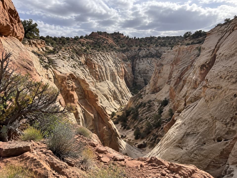
Cottonwood Wash is a rugged, bottom-up route into a narrow sandstone canyon. Follow the wash west from the signed crossing of Notom–Bullfrog Road to an impassable 35-foot pour-off, then return the same way. The official route figure is 3.3 miles one way, or 6.6 miles round trip; the map here follows the canyon once. It climbs about 545 feet. Set aside around five hours, plus daylight to spare: estimates vary, and the boulder scramble or water can slow the walk. This is for experienced canyon-country hikers, not a casual wash stroll.

The sandy approach and boulder jamThe first miles run through an open, sandy wash between low hills, across public land before…

The first miles run through an open, sandy wash between low hills, across public land before the canyon enters the national park. About a mile from the road, a side canyon joins from the right (north). Stay left in the main drainage. A few hundred yards later, large boulders choke the wash for roughly a quarter mile. Expect hands-on scrambling; the bypass crosses the left (south) side and rejoins the wash. About a third of a mile later, the narrows begin. At the next drainage from the left (south), stay right.

The route is largely unmarked and not maintained. Carry a topographic map and know how to navigate the wash; cairns may be absent or misleading. The wash itself is the route, including its local boulder bypasses.

Pools, narrows, and the turn-aroundSoon after the second drainage, the canyon tightens into a thin slot.

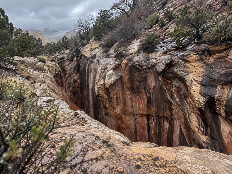
Soon after the second drainage, the canyon tightens into a thin slot. A deep pool is often present here and continuing can require deep wading or a short swim. Many hikers turn around at this pool; it makes a much shorter visit, but it is not the full route. Beyond it, about another mile alternates between tight narrows and more open pockets, with chockstones and additional pools. The canyon ends at the 35-foot pour-off. It is impassable on this hike, so turn around there and retrace the wash.

Heat, flash floods, and accessSpring and fall are the best seasons.

Spring and fall are the best seasons. Summer heat can be extreme, and natural water sources are unreliable, so carry all the water you need. Flash floods are dangerous in a slot canyon: do not enter if rain is possible. The unpaved approach road can become impassable after mud or flood damage, so check its current condition before driving. Pets are not allowed on the route.

Wildlife

Wildlife in Capitol Reef

All Capitol Reef wildlife maps

Sighting maps show where each species has been reported across Capitol Reef. Wildlife moves, so no sighting is guaranteed.

Keep exploring

Near Cottonwood Wash

See it all on the map

Trails that start nearby

Places near the trailhead

Parkwolf’s Capitol Reef ranking

Top-rated trails in Capitol Reef

All 48 trails
  1. 1Hickman Bridge TrailModerate · 1.8 mi
  2. 2Cassidy Arch TrailChallenging · 3.4 mi
  3. 3Grand Wash TrailEasy · 4.4 mi
  4. 4Capitol Gorge TrailEasy · 2 mi
  5. 5Navajo Knobs TrailChallenging · 9.4 mi
  6. 6Rim Overlook TrailChallenging · 4.6 mi

Take Parkwolf to Capitol Reef.

The audio tour guide for the drive, plus offline maps, trails, and wildlife heatmaps for when the signal drops.

4.7 from 8,600+ ratings

Download Parkwolf on the App StoreGet Parkwolf on Google Play