Channel Islands National Park, CA

Smugglers Cove to Yellowbanks

Rugged 3-mile out-and-back from Smugglers Cove to the remote Yellowbanks beach

Length
3mi
Time
2hr
Elev. change
479ft
Difficulty
Challenging
  • No dogs
  • High point 502 ft

Hear the audio tour

Smugglers Cove: A Hike to a Historic Cove

Overview

About Smugglers Cove to Yellowbanks

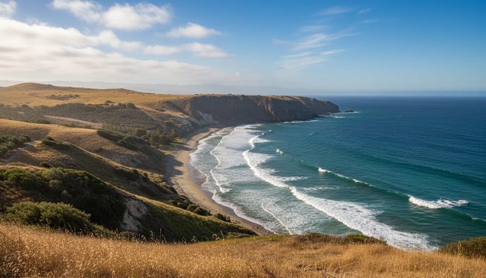
This rugged out-and-back follows the route from Smugglers Cove to Yellowbanks beach on eastern Santa Cruz Island. The route crosses the historic ranch area, climbs through exposed island terrain, and descends to the remote beach entrance before retracing the same corridor.

Why go

  • Remote coastal views and a quieter, secluded beach destination
  • Historic Smugglers ranch and olive-orchard setting
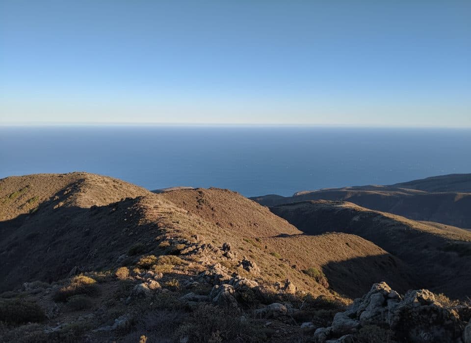
  • Wild, open Santa Cruz Island scenery

Heads up

  • Strenuous, exposed route with no shade, water, or services
  • Unmaintained sections have uneven and loose footing
  • Requires the separate hike from Scorpion Anchorage to Smugglers Cove

Map & elevation

The route

Loading the Channel Islands map
Full map
Elevation23–502 ft
TrailheadSmugglers Cove34.02173, -119.54199
Keep this map with you offline in the Parkwolf app

Plan your hike

Before you go

Parking

No vehicle access. Arrive by boat at Scorpion Anchorage, then hike the separate Smugglers Road approach to Smugglers Cove; the National Park Service lists that approach as 7.5 miles round trip from Scorpion Beach. Yellowbanks adds a 3-mile round trip from Smugglers Cove.

Safety

Strenuous and exposed with no water or services; carry all water and supplies. The Yellowbanks route is unmaintained with uneven, loose footing and a rugged beach approach. Stay on the route, use care near unstable edges, do not smoke in brush, and pack out all waste. No pets are allowed on the islands.

3 active Channel Islands alerts

  • ClosureSanta Rosa Island wildfire-recovery closuresAvoid closed routes and shorelines on Santa Rosa Island during recovery from the 2026 wildfire.Official details
  • ClosureSanta Barbara Island dock closed; landings restrictedThe Santa Barbara Island dock is closed; landings are restricted to the adjacent rocky ledge. - Severe winter storm damage caused the closure, and repairs are not expected in the near future.Official details
See all 3 alerts
A park ranger sits on a dash-mounted phone, talking, as Parkwolf’s Tour Guide plays “Army Cutworm Moths: A Grizzly Bear Buffet” on Grand Loop Road below Dunraven Pass in Yellowstone
Parkwolf Tour GuideThe highest, rockiest slopes around here are a summer buffet for grizzly bears.

Channel Islands Tour Guide

Your drive to Smugglers Cove to Yellowbanks, narrated.

Parkwolf is a GPS audio tour guide for Channel Islands National Park. As you drive, it chimes in with what’s ahead: hidden gems, upcoming stops, history, geology, and wildlife, right through your car’s speakers.

See the Channel Islands audio tour

Recorded for this area

Smugglers Cove: A Hike to a Historic Cove
Listen
“The area ahead contains Smugglers Cove, a major highlight for visitors up for a serious day hike.”

Plays near this trailhead in the Parkwolf Channel Islands Tour Guide.

More stories near here in the app

  • A Note on San Pedro Point
  • Scorpion Rock: A Protected Seabird Sanctuary
  • A Challenging Hike to Montañon Peak
  • Scorpion Anchorage: The Island's Activity Hub
  • 47 audio storiesacross Channel Islands’s roads, triggered by GPS as you drive
  • Wildlife heatmapsfor Island Fox, Humpback Whale, Blue Whale, and 13 more
  • Works offlinemaps, 31 trails, 49 places, and audio download before you lose signal
  • CarPlay readysimple controls built for the drive
★★★★★
“Fantastic app with many points of information… It’s great to just turn on while you’re driving and it gives you an audio tour of the national Park. We love it!!!!”
JMJamesApp Store review
Download Parkwolf on the App StoreGet Parkwolf on Google Play

4.7 from 8,600+ ratings

Trail guide

Hiking Smugglers Cove to Yellowbanks

Route and DistanceThe visitor route is 3 miles round trip from Smugglers Cove, matching the National Park Service…

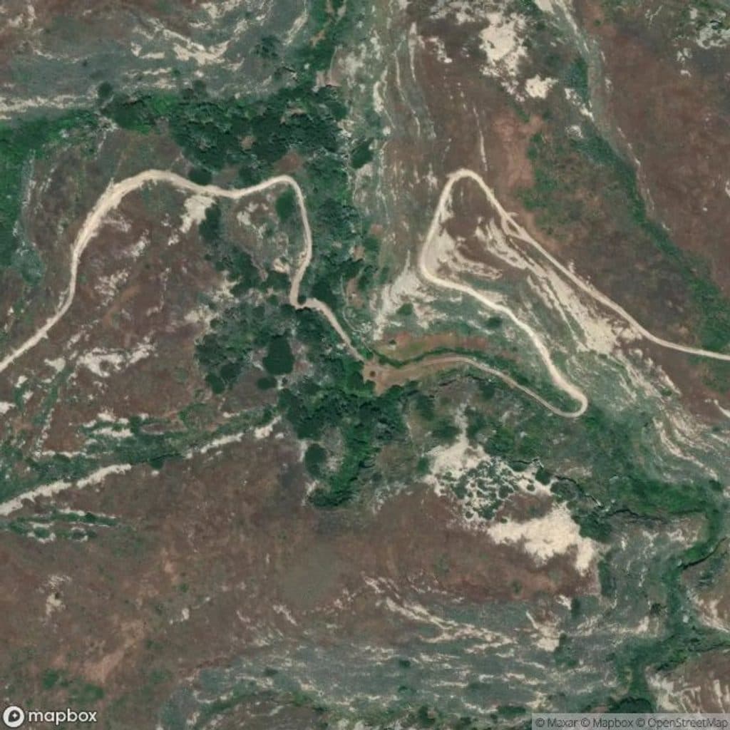
The visitor route is 3 miles round trip from Smugglers Cove, matching the National Park Service distance convention. The stored line is the one-way physical corridor; hikers retrace it on the return. The mapped corridor is approximately 1.93 miles one way, and the final approach to the beach is unmaintained.

What You’ll SeeExpect broad coastal views, open island grassland and chaparral, the historic Smugglers…

Expect broad coastal views, open island grassland and chaparral, the historic Smugglers ranch/olive-orchard setting, and the secluded Yellowbanks shoreline. The beach approach is rugged and the route is remote.

Difficulty and ConditionsThe National Park Service rates Yellowbanks strenuous.

The National Park Service rates Yellowbanks strenuous. The route is exposed to sun and wind, with uneven and loose footing and no water or services. Carry all water and supplies, stay on the established route, and use extra care near the beach and any steep or unstable edges.

Access and RegulationsThere is no vehicle access to Smugglers Cove.

There is no vehicle access to Smugglers Cove. Arrive by boat at Scorpion Anchorage, then hike the separate Smugglers Road approach to the cove; the National Park Service lists that approach as 7.5 miles round trip from Scorpion Beach. Pets are not allowed on the islands, and visitors must pack out all waste.

Wildlife

Wildlife in Channel Islands

All Channel Islands wildlife maps

Sighting maps show where each species has been reported across Channel Islands. Wildlife moves, so no sighting is guaranteed.

Keep exploring

Near Smugglers Cove to Yellowbanks

See it all on the map

Trails that start nearby

Places near the trailhead

Parkwolf’s Channel Islands ranking

Top-rated trails in Channel Islands

All 31 trails
  1. 1Inspiration Point TrailEasy · 1.5 mi
  2. 2Potato Harbor TrailModerate · 5.2 mi
  3. 3Lobo Canyon TrailChallenging · 9.6 mi
  4. 4Montañon Ridge TrailChallenging · 10 mi
  5. 5Torrey Pines Grove LoopChallenging · 7.5 mi
  6. 6Point Bennett TrailChallenging · 16 mi

Take Parkwolf to Channel Islands.

The audio tour guide for the drive, plus offline maps, trails, and wildlife heatmaps for when the signal drops.

4.7 from 8,600+ ratings

Download Parkwolf on the App StoreGet Parkwolf on Google Play