Wahclella Falls in Columbia River Gorge National Scenic Area

#9 of 61 sights in Columbia River Gorge

Sight · Columbia River Gorge National Scenic Area

Wahclella Falls

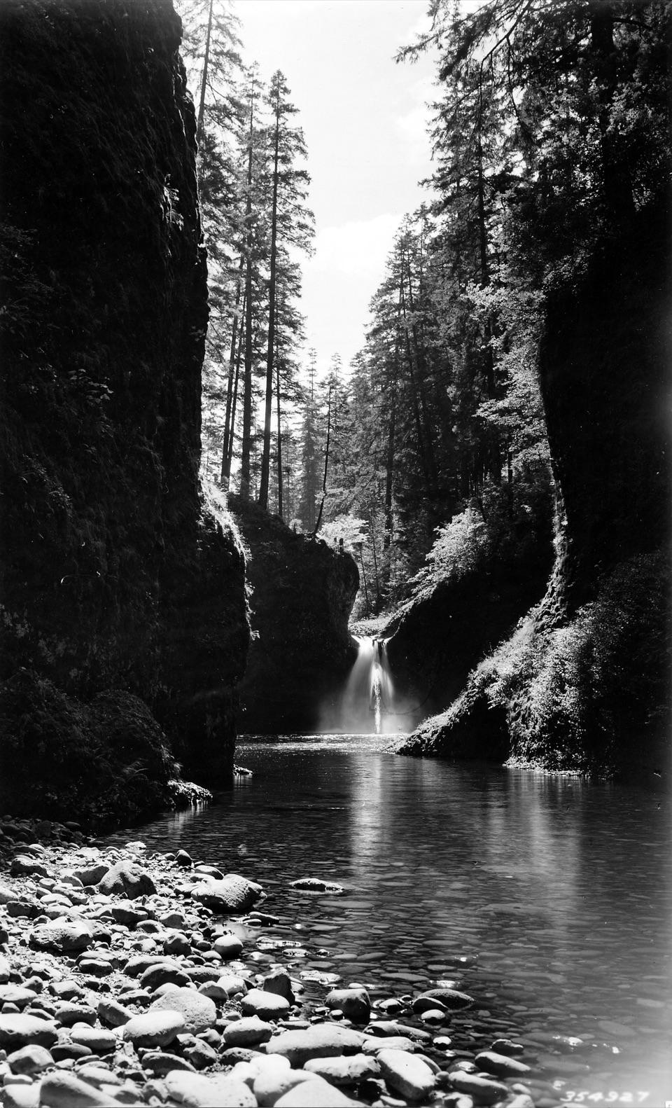
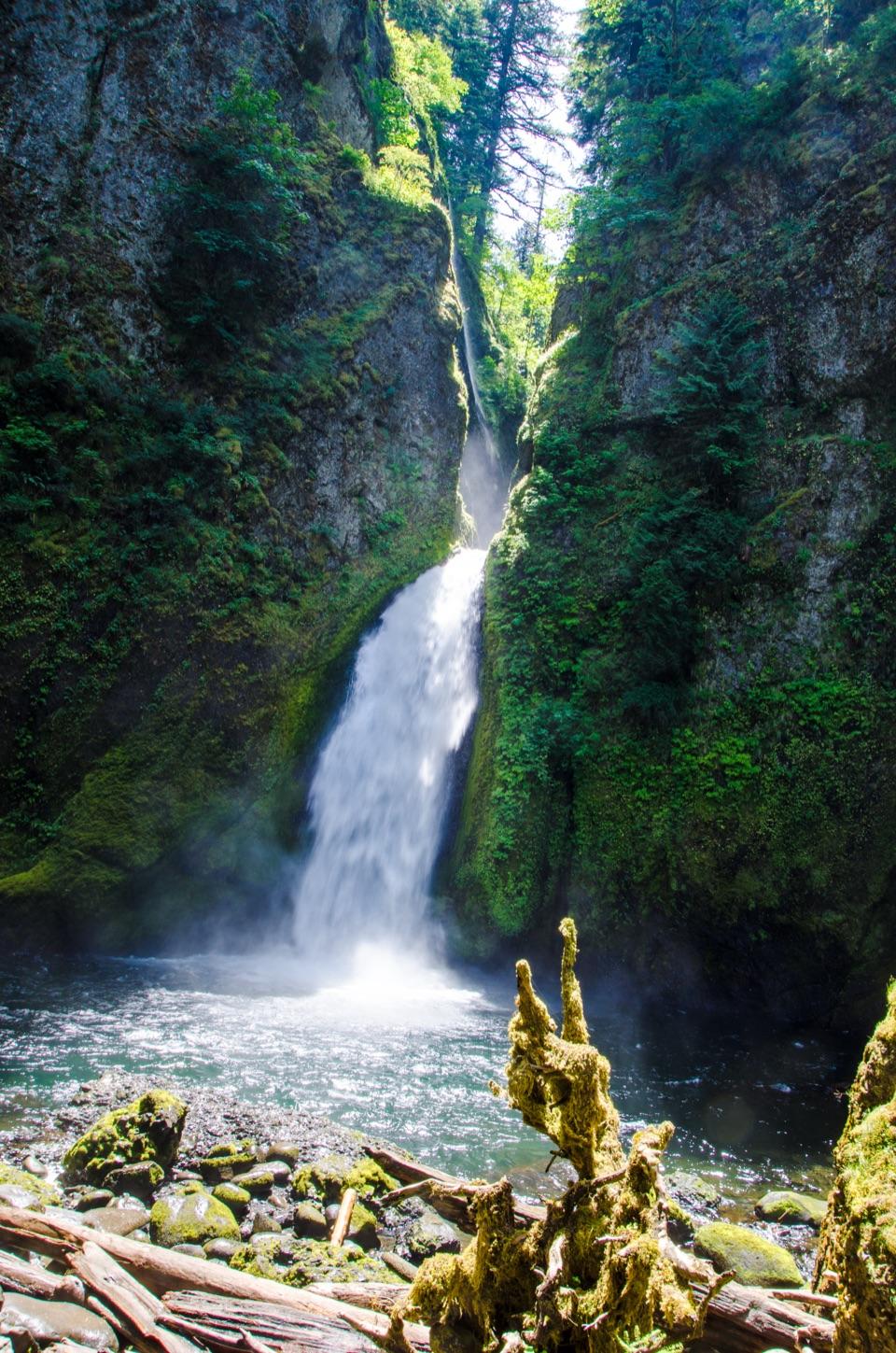
A short canyon walk ends at a two-tiered plunge pool.

Photo: U.S. Forest Service, Pacific Northwest Region

Type
Sight
Nearest trail
0.9 mi
Audio stories
6 nearby
  • Trailhead
  • Parking
  • Restrooms
  • Picnic tables

Hear the audio tour

Wahclella Falls Trailhead
Download Parkwolf on the App StoreGet Parkwolf on Google Play

4.7 from 8,600+ ratings

Overview

About Wahclella Falls

Why stop

  • A close grotto view of a two-tier waterfall and plunge pool

Heads up

  • The waterfall takes a 2.4-mile round-trip hike to reach
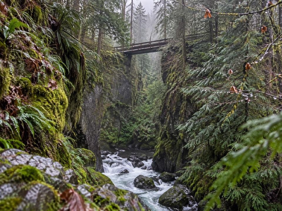
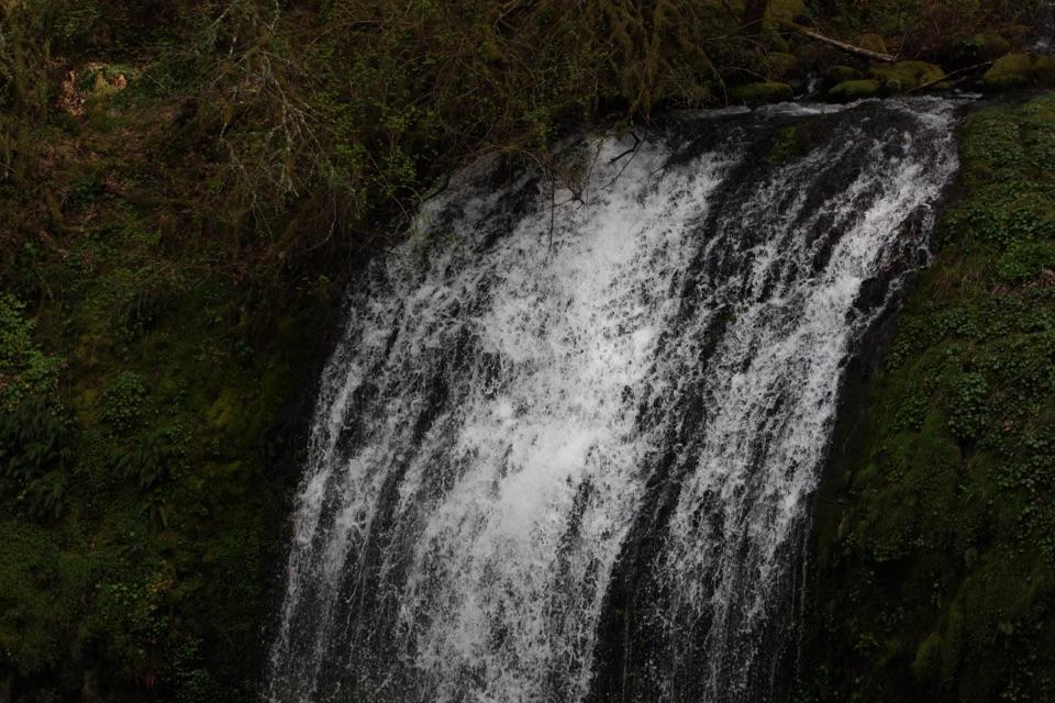
Wahclella Falls is a two-tier waterfall tucked into a narrow side canyon above Tanner Creek in the Columbia River Gorge. The trail ends in an enclosed grotto, where the lower cascade drops into a large pool beneath high, mossy walls. This is a good choice if you want a close-up waterfall walk, not a quick stop beside the road. Plan on about 2.4 miles round trip for the full out-and-back route.
Parkwolf’s verdictA waterfall worth the short walk

Map

Where it is

Loading the Columbia River Gorge map
Full map
SightWahclella Falls45.61818, -121.95141
Keep this map with you offline in the Parkwolf app

Plan your stop

Before you go

Best time to go

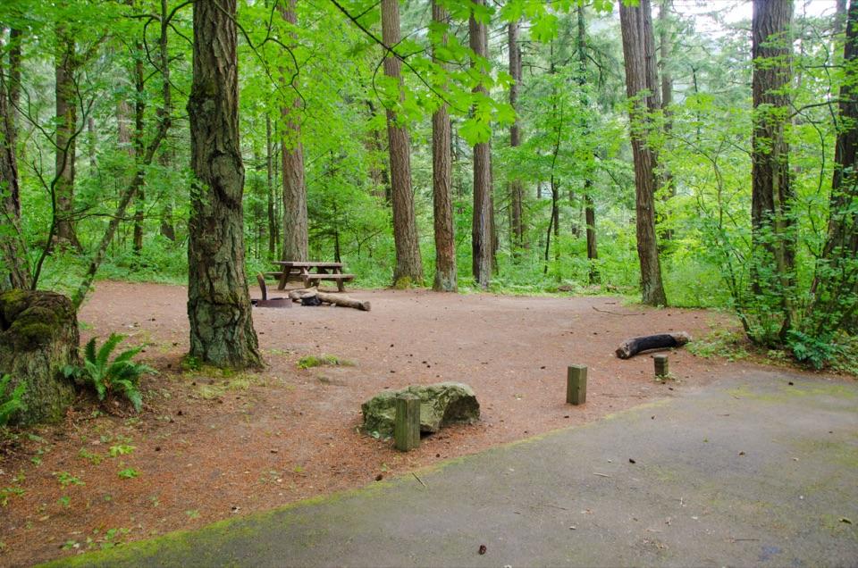
Reach the trailhead from Interstate 84 Exit 40, the Bonneville Fish Hatchery exit. Parking at the falls trailhead is limited and requires a day-use fee or valid recreation pass; pay by the posted QR code or bring a pass, since cash and checks are not accepted. Another lot at Toothrock State Parks trailhead is about a quarter-mile east along the frontage road. A portable toilet is listed for the trailhead in summer, but there is no potable water. The Forest Service lists two accessible parking spaces and an accessible table, with access to the trail and first bridge; that does not describe the full route to the waterfall as accessible.

Avoid the trail during, and for 48 hours after, heavy rain or snow. The Forest Service warns that the burned watershed can bring flash floods, falling trees and landslides in those conditions. That is the main reason to change your plan; in safe weather, this is a rewarding waterfall hike if you are comfortable with uneven footing.

2 active Columbia River Gorge alerts

  • ClosureEagle Creek Fire-area trail and gorge closuresRuckel Creek Trail 405, part of Tanner Butte Trail 401, and Oneonta Gorge are closed through July 17, 2027, unless the order is rescinded sooner.Official details
  • ClosureElowah Falls eastbound I-84 ramp closedThe NE Frontage Road on-ramp to eastbound I-84 at the Elowah Falls Trailhead parking lot remains closed during McCord Creek bridge construction.Official details
Columbia River Gorge alerts
A park ranger sits on a dash-mounted phone, talking, as Parkwolf’s Tour Guide plays “Army Cutworm Moths: A Grizzly Bear Buffet” on Grand Loop Road below Dunraven Pass in Yellowstone
Parkwolf Tour GuideThe highest, rockiest slopes around here are a summer buffet for grizzly bears.

Columbia River Gorge Tour Guide

Your drive to Wahclella Falls, narrated.

Parkwolf is a GPS audio tour guide for Columbia River Gorge National Scenic Area. As you drive, it chimes in with what’s ahead: hidden gems, upcoming stops, history, geology, and wildlife, right through your car’s speakers.

See the Columbia River Gorge audio tour

Recorded for this place

Wahclella Falls Trailhead
0:00 / 0:28
“You're approaching Wahclella Falls Trailhead, where a canyon hike leads to a two-tier waterfall in a mossy grotto.”

Plays as you drive up to Wahclella Falls in the Parkwolf Columbia River Gorge Tour Guide.

More stories near here in the app

  • Bonneville Fish Hatchery
  • The Rapids Beneath the Reservoir
  • Bradford Island Visitor Center
  • Fort Cascades Historic Site
  • 217 audio storiesacross Columbia River Gorge’s roads, triggered by GPS as you drive
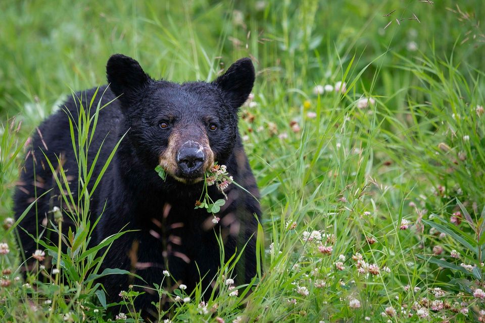
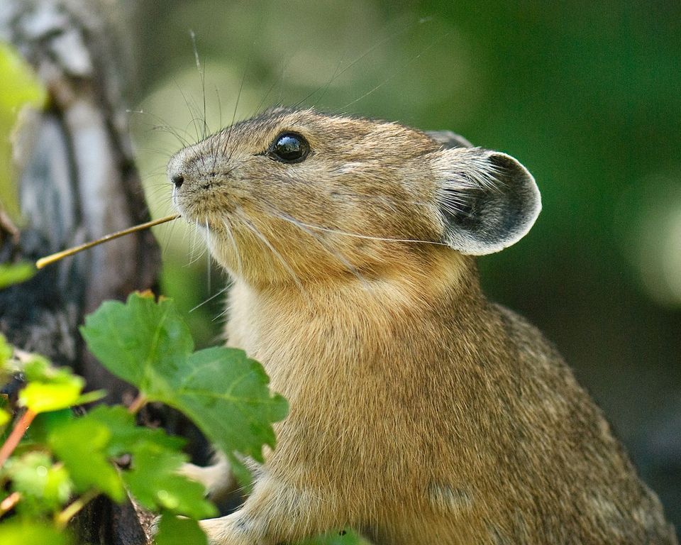
  • Wildlife heatmapsfor Bald Eagle, Black Bear, American Pika, and 13 more
  • Works offlinemaps, 111 trails, 79 places, and audio download before you lose signal
  • CarPlay readysimple controls built for the drive
★★★★★
“Fantastic app with many points of information… It’s great to just turn on while you’re driving and it gives you an audio tour of the national Park. We love it!!!!”
JMJamesApp Store review
Download Parkwolf on the App StoreGet Parkwolf on Google Play

4.7 from 8,600+ ratings

Guide

More about Wahclella Falls

Follow Tanner Creek inThe path starts on an old gated road beside Tanner Creek, then passes a small intake dam that…

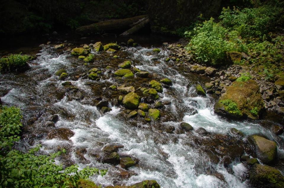
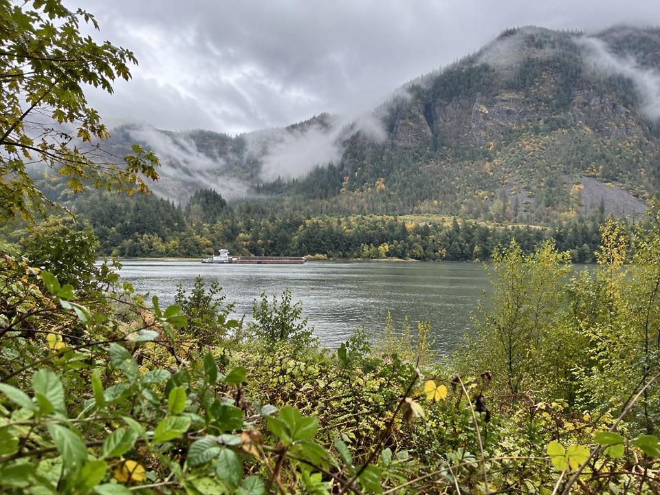
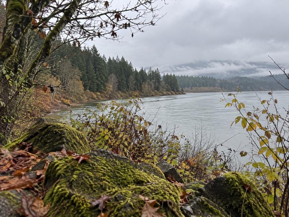
The path starts on an old gated road beside Tanner Creek, then passes a small intake dam that feeds Bonneville Fish Hatchery. From there it enters the Mark O. Hatfield Wilderness and the canyon narrows. A smaller tributary waterfall appears at the first bridge; farther in, the creek winds among moss-covered boulders below steep rock walls. At the fork, the lower path follows the creek toward the falls. You can return the same way or complete the loop, which includes a short rocky scramble. The footing is uneven in places, and there are steep drop-offs: keep children close.

The 2017 Eagle Creek Fire burned hot in the Tanner Creek watershed. It stripped vegetation from slopes, which led to landslides and rockfall on the upper trail and damaged a bridge. That bridge was replaced in 2020. The route now gives you a short walk into a dramatic canyon, but the burned slopes still matter when weather turns.

The grotto and the viewAt the end, Wahclella Falls spills down in two tiers.

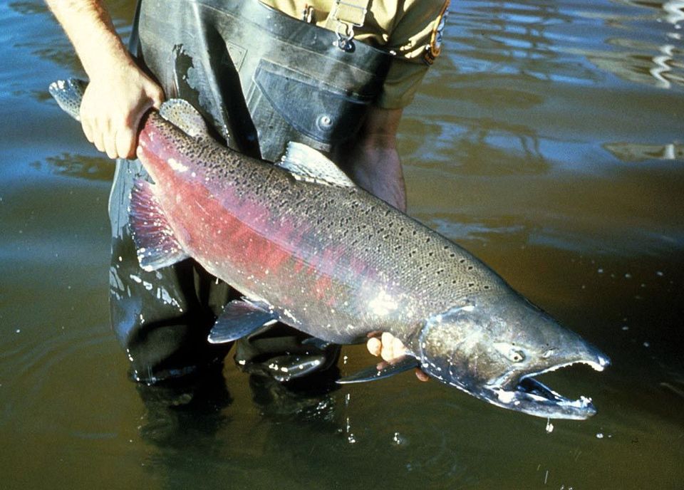
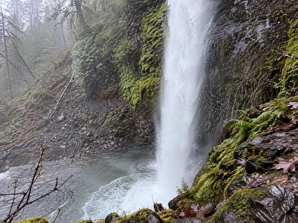
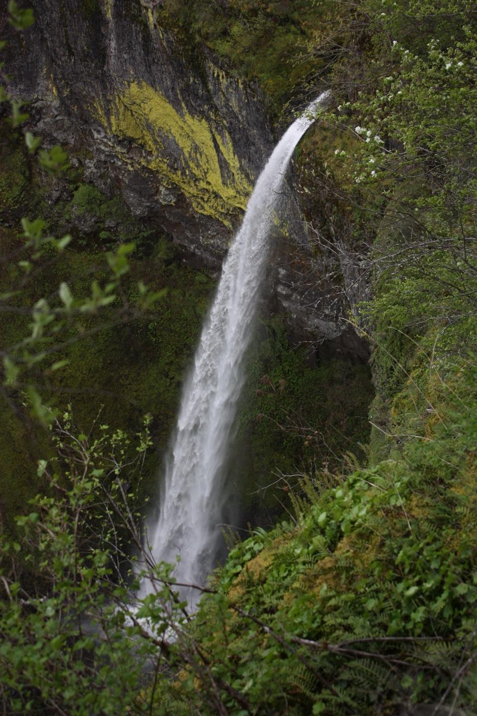
At the end, Wahclella Falls spills down in two tiers. The lower horsetail drop is about 60 feet and lands in a broad splash pool; the upper cascade sits above it. The enclosed walls make the falls feel close, and the pool and boulders help show the scale of the canyon. In late fall, salmon may spawn at the base of the falls. Watch the stream edges too: American dippers bob and dive in the current.

For a photo, the close view is by the second bridge near the falls. Include some of the mossy wall or boulders with the water so the picture shows the tight canyon as well as the plunge. You first see the falls from farther back as you enter the grotto, then get a much closer view near the bridge.

Wildlife

Wildlife in Columbia River Gorge

All Columbia River Gorge wildlife maps

Sighting maps show where each species has been reported across Columbia River Gorge. Wildlife moves, so no sighting is guaranteed.

Keep exploring

Near Wahclella Falls

See it all on the map

Trails nearby

More stops nearby

Parkwolf’s Columbia River Gorge ranking

Top sights in Columbia River Gorge

All 79 places
  1. 1Multnomah FallsSight
  2. 2Vista House at Crown PointSight
  3. 3Rowena Crest OverlookSight
  4. 4Portland Women’s Forum State Scenic ViewpointSight
  5. 5Latourell FallsSight
  6. 6Beacon RockSight

Take Parkwolf to Columbia River Gorge.

The audio tour guide for the drive, plus offline maps, trails, and wildlife heatmaps for when the signal drops.

4.7 from 8,600+ ratings

Download Parkwolf on the App StoreGet Parkwolf on Google Play