Parking
Park at the North Bonneville Little League baseball-field lot at the end of Portage Drive. No entry pass is required; there is no restroom at the trailhead.
Columbia River Gorge National Scenic Area, OR · WA
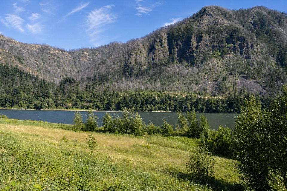
A meadow in the river’s narrow middle, framed by both Gorge walls.
Overview
Map & elevation
Plan your hike

The highest, rockiest slopes around here are a summer buffet for grizzly bears.
Columbia River Gorge Tour Guide
Parkwolf is a GPS audio tour guide for Columbia River Gorge National Scenic Area. As you drive, it chimes in with what’s ahead: hidden gems, upcoming stops, history, geology, and wildlife, right through your car’s speakers.
Recorded for this area
The Island That Joined the Shore“Strawberry Island near North Bonneville is no longer an island. Lewis and Clark called it that after seeing wild strawberry plants; maps also call it Hamilton Island.”
Plays on the road 0.4 mi from the trailhead in the Parkwolf Columbia River Gorge Tour Guide.
More stories near here in the app
“Fantastic app with many points of information… It’s great to just turn on while you’re driving and it gives you an audio tour of the national Park. We love it!!!!”


Trail guide
Strawberry Island Loop is the roughly 4-mile loop from the North Bonneville ball fields around Hamilton Island, the peninsula in the Columbia River. Allow about two to three hours with stops. The full itinerary links the hilltop meadow and the downstream river edge; it reuses the short ball-field approach to connect both circuits. Come for the unusual views from between the Gorge walls without committing to a long mountain climb.
The route alternates grass track through mature oak woods and open grassland, with flatter stretches and short hills. A bench in the higher meadow looks toward the Cascade Landslide cliffs at Table Mountain, Red Bluffs, and Greenleaf Peak. Farther down, the island's downstream point faces Ives and Pierce Islands and Beacon Rock. Some grassy tread is faint, so keep the trail map handy. The low-water route to Ives Island is only an optional crossing beyond the loop; it may be dry or require a wade, depending on river level.
Park at the North Bonneville Little League baseball-field lot at the end of Portage Drive. There is no restroom at the trailhead, and no entry pass is required. Dogs must be leashed. Hamilton Island was raised with rock excavated for Bonneville Dam's second powerhouse in the 1970s; that fill also joined it to the Washington shore. Lewis and Clark used the name Strawberry Island for native strawberry plants they found there.
Wildlife
 267 sightingsBald EagleMost seen around 7 AMSighting map
 51 sightingsBlack BearMost seen around 7 PMSighting map
 136 sightingsAmerican PikaMost seen around 8 AMSighting map
 16 sightingsWapitiMost seen around 7 AMSighting map
 195 sightingsMule DeerMost seen around 7 AMSighting map
 74 sightingsChinook SalmonMost seen around 6 PMSighting map
Sighting maps show where each species has been reported across Columbia River Gorge. Wildlife moves, so no sighting is guaranteed.
Keep exploring
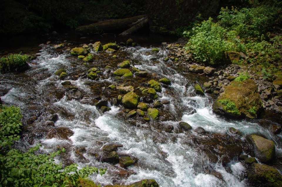 EasyWahclella Falls Trail1.8 mi · 1.5 hr · 1.2 mi awayA shady creek walk, two waterfalls, and a real loop.
 EasyFort Cascades Trail1.5 mi · 1 hr · 1.2 mi awayA level riverside loop through a vanished portage town.
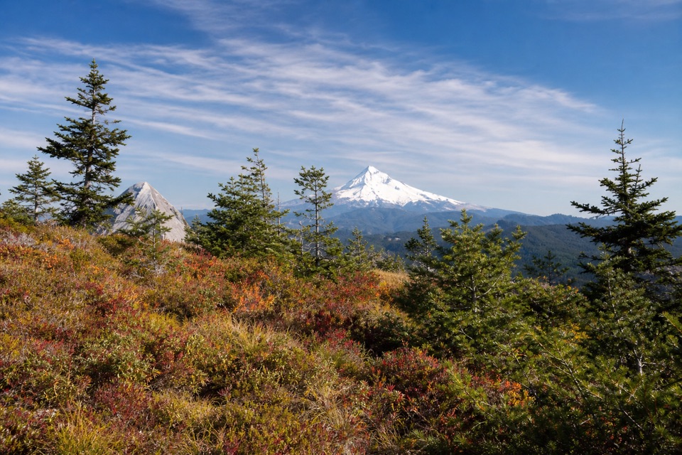 ChallengingTanner Butte Trail17.9 mi · 11.5 hr · 1.4 mi awayA long climb to old firetower remains and a Mount Hood view.
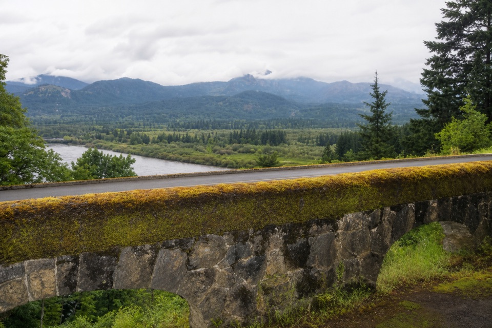 EasyTooth Rock Loop2.1 mi · 1.5 hr · 1.5 mi awayStone viaduct, river views, and a rough old road back.
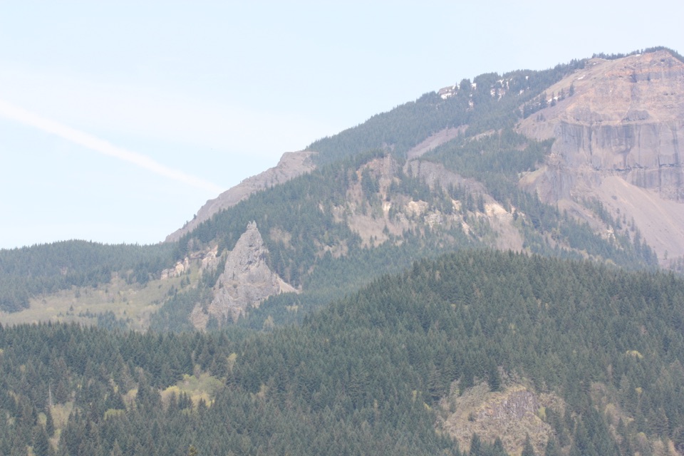 ChallengingTable Mountain – Heartbreak Ridge Loop8 mi · 6 hr · 1.7 mi awaySteep talus leads to sheer Gorge cliffs and a hard-earned summit.
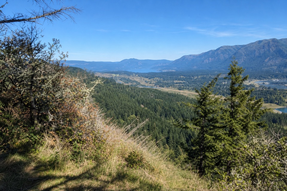 ModerateAldrich Butte Trail3.5 mi · 2.8 hr · 1.7 mi awayA wooded climb to a summit clearing with Columbia River Gorge views.
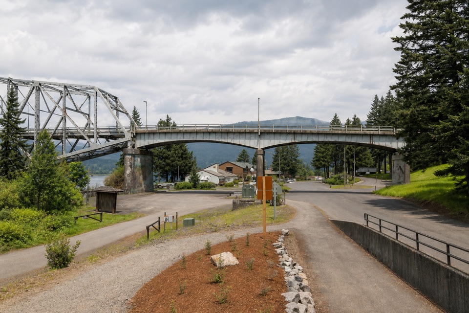 ModerateHistoric Columbia River Highway State Trail: Bonneville Segment7 mi · 3.5 hr · 1.9 mi awayPaved Gorge miles, old bridges, and Ruckel Creek's easy-to-miss falls.
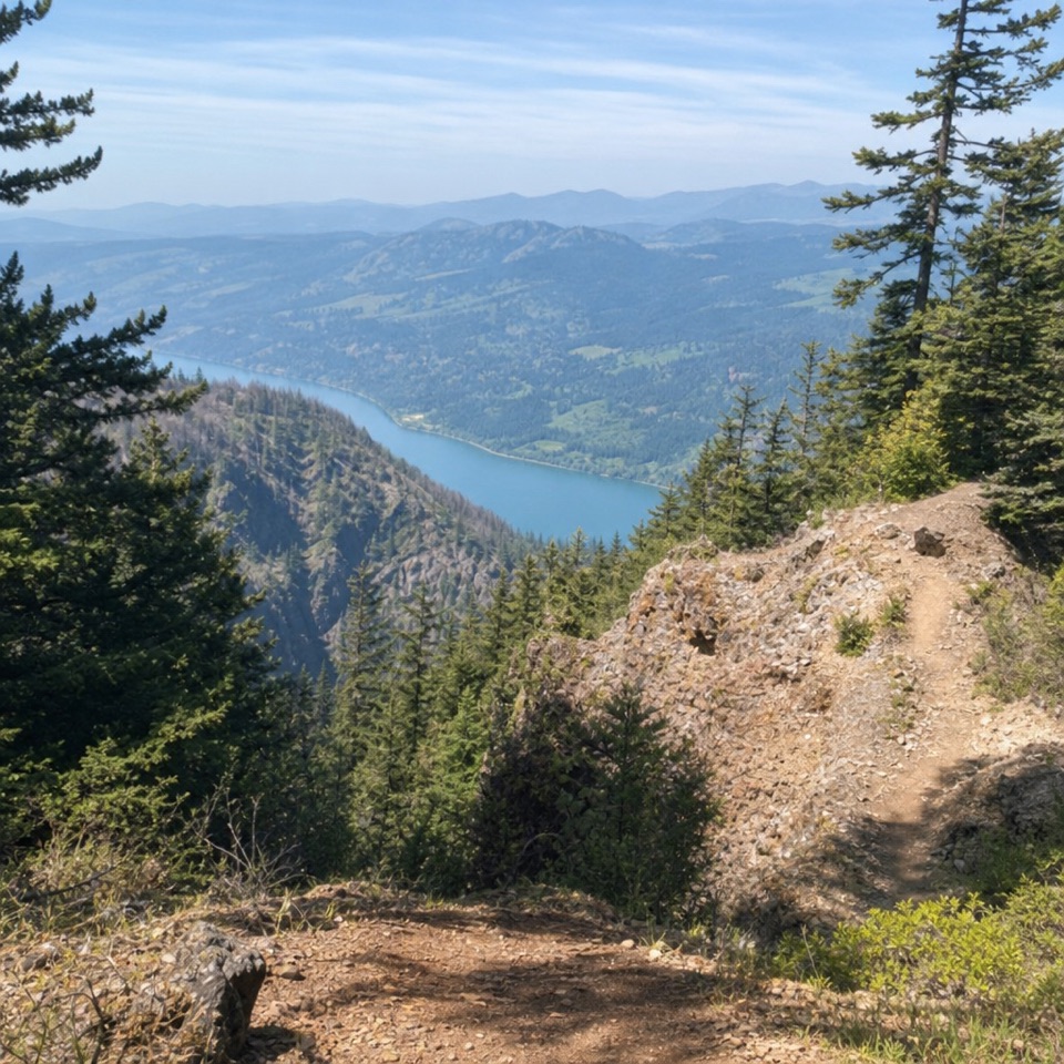 ChallengingNesmith Point Trail8.4 mi · 7.5 hr · 1.9 mi awayA steep climb to an old lookout and wide Gorge views.
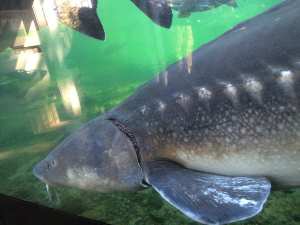 Sight · 1 mi awayBonneville Fish HatcherySee Herman through an underwater viewing window.
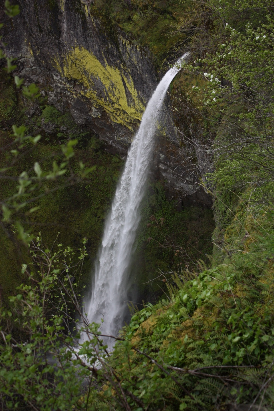 Sight · 1.7 mi awayElowah FallsA 213-foot plunge framed by ancient lava and a green ravine.
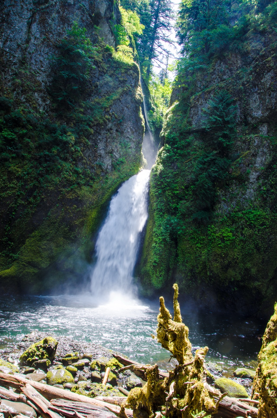 Sight · 1.7 mi awayWahclella FallsA short canyon walk ends at a two-tiered plunge pool.
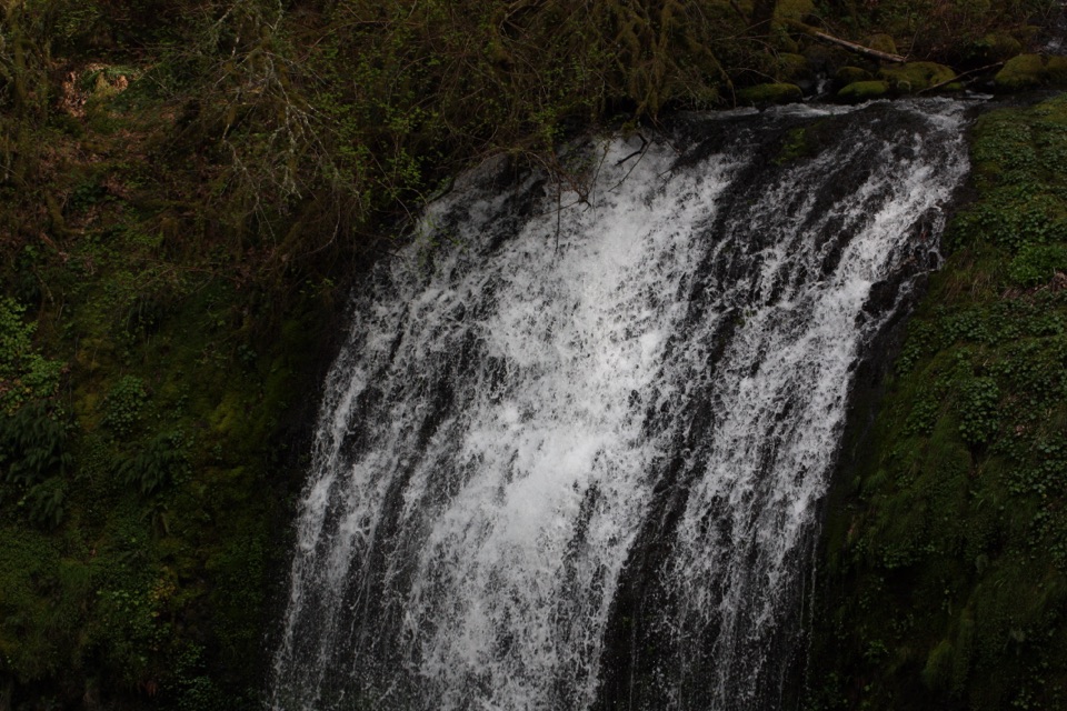 Sight · 1.7 mi awayUpper McCord Creek FallsA narrow cliffside trail climbs to a twin cascade above Elowah.
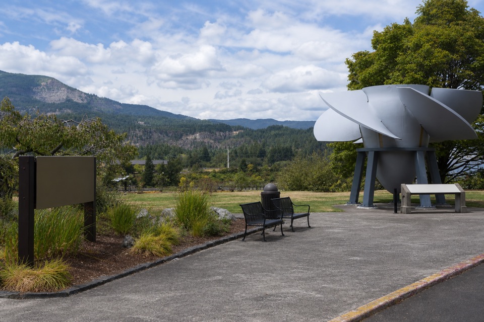 Visitor center · 1.8 mi awayBradford Island Visitor CenterFish ladder viewing and hydropower history under one roof.
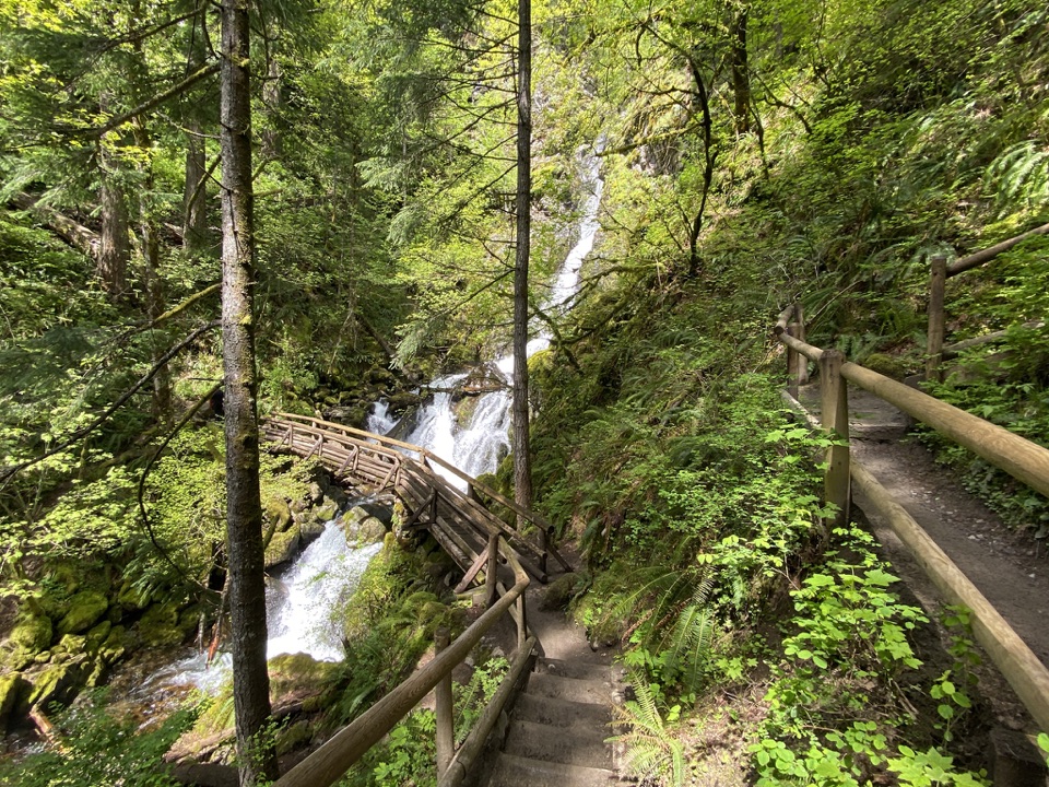 Sight · 1.9 mi awayRodney Falls & Pool of the WindsA waterfall pours through a narrow rock chamber into a spray-filled pool.
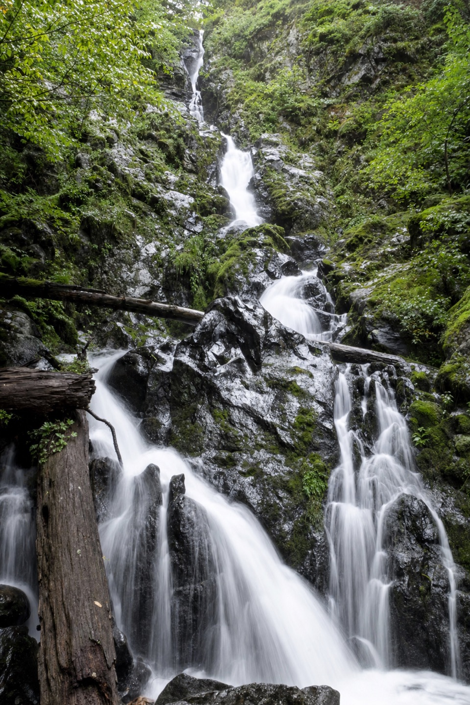 Sight · 1.9 mi awayHardy FallsA 90-foot cascade hides just off the Hamilton Mountain trail.
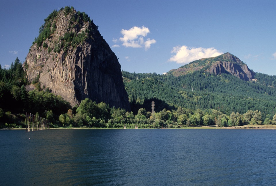 Sight · 2.1 mi awayBeacon RockA basalt landmark with a switchback trail above the Columbia.
Parkwolf’s Columbia River Gorge ranking

The audio tour guide for the drive, plus offline maps, trails, and wildlife heatmaps for when the signal drops.





