Parking
Use Wahclella Falls Trailhead just south of I-84 exit 40 for Bonneville Fish Hatchery. The lot is limited; overflow at Toothrock State Park about a quarter-mile east adds a walk. A day-use fee or valid recreation pass is required.
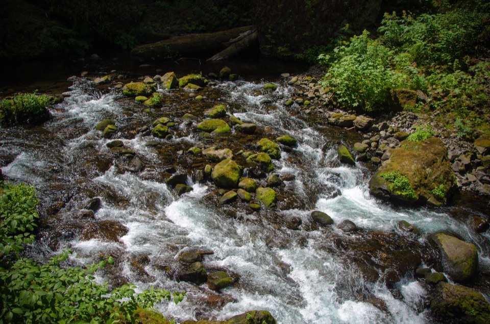
#9 of 111 trails in Columbia River Gorge
Columbia River Gorge National Scenic Area, OR · WA
A shady creek walk, two waterfalls, and a real loop.
Overview
Wahclella Falls Trail is a mapped 1.8-mile lollipop loop through the narrow Tanner Creek canyon to a two-tier waterfall. It starts on the creek’s old access road, climbs to a fork, circles the falls on a second path, then retraces the shared approach. If you want a big Gorge waterfall without a full-day hike, this is a good pick. It’s short, shady and varied, but it isn’t a flat stroll: there are stairs, steep edges and rough rock near the water. Allow about an hour and a half for the hike, and longer if you want to linger at the falls.
 Parkwolf’s verdictIs this the short waterfall hike for you?
Map & elevation
Plan your hike

The highest, rockiest slopes around here are a summer buffet for grizzly bears.
Columbia River Gorge Tour Guide
Parkwolf is a GPS audio tour guide for Columbia River Gorge National Scenic Area. As you drive, it chimes in with what’s ahead: hidden gems, upcoming stops, history, geology, and wildlife, right through your car’s speakers.
Recorded for this trailhead
Wahclella Falls Trailhead“You're approaching Wahclella Falls Trailhead, where a roughly two-mile round trip hike leads into Tanner Creek canyon; the falls aren't a roadside view.”
Plays as you drive up to this trailhead in the Parkwolf Columbia River Gorge Tour Guide.
More stories near here in the app
“Fantastic app with many points of information… It’s great to just turn on while you’re driving and it gives you an audio tour of the national Park. We love it!!!!”


Trail guide
From Wahclella Falls Trailhead, the first stretch is a level, gated access road under cottonwood, alder, big-leaf maple and Douglas-fir. It ends at a small dam and fish ladder for the Bonneville Fish Hatchery; beyond that, the path narrows and enters the Mark O. Hatfield Wilderness. Around a blind bend, Munra Falls drops beside the first bridge. You cross close enough to catch its spray when the creek is running hard.
The trail then climbs the east side of the canyon on uneven ground, with a flight of stairs and steep drop-offs above Tanner Creek. At roughly seven-tenths of a mile, the route forks. Follow the full loop instead of turning back there. The upper path rises to a sturdy bridge and then descends toward Wahclella Falls; the return path follows the lower side of the loop back to the same junction.
Wahclella Falls opens into a boulder- and cedar-shaded amphitheater. The lower cascade is the obvious first view; a higher viewpoint reveals the partly hidden upper tier, and a seasonal side fall can appear farther back. The higher viewpoint is the best place to frame both tiers together. Look along the creek for water ouzels bobbing and diving; spawning salmon may be visible at the falls in late autumn.
To finish the loop, rough rock steps lead down to a lower level, where a footbridge crosses Tanner Creek. A short, steep basalt boulder and dripping overhang sit just beyond it. From there the trail works past mossy boulders in an old slide zone, crosses the lower bridge and climbs a couple of switchbacks back to the fork. This lower section is rockier and more awkward underfoot than the easy start.
Use the Wahclella Falls Trailhead just south of I-84 exit 40 for Bonneville Fish Hatchery. The lot is limited; overflow parking at Toothrock State Park is about a quarter-mile east and adds a walk. A day-use fee or valid recreation pass is required. A portable toilet is listed at the trailhead during summer, but there’s no potable water. Dogs are allowed on leash.
The loop gains about 340 feet cumulatively. Keep children close around the steep drop-offs, and take care on wet rock by the falls. The 2017 Eagle Creek Fire burned this watershed; the Forest Service’s current advice about heavy-rain and snow hazards is in the trail caution.
Wildlife
 267 sightingsBald EagleMost seen around 7 AMSighting map
 51 sightingsBlack BearMost seen around 7 PMSighting map
 136 sightingsAmerican PikaMost seen around 8 AMSighting map
 16 sightingsWapitiMost seen around 7 AMSighting map
 195 sightingsMule DeerMost seen around 7 AMSighting map
 74 sightingsChinook SalmonMost seen around 6 PMSighting map
Sighting maps show where each species has been reported across Columbia River Gorge. Wildlife moves, so no sighting is guaranteed.
Keep exploring
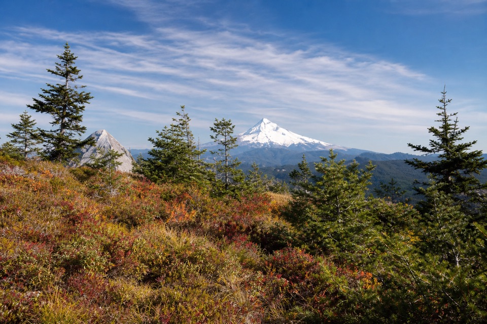 ChallengingTanner Butte Trail17.9 mi · 11.5 hr · 0.3 mi awayA long climb to old firetower remains and a Mount Hood view.
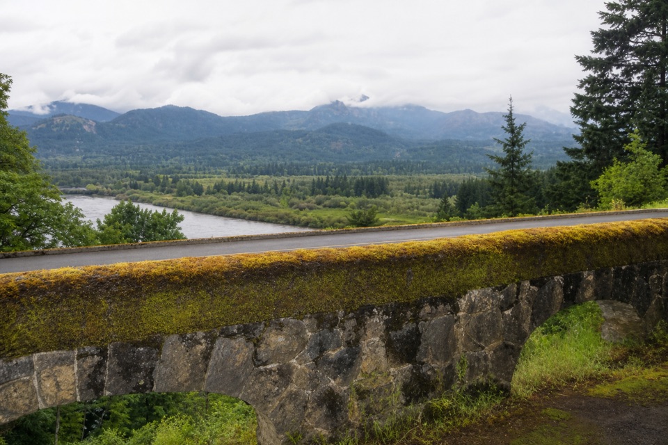 EasyTooth Rock Loop2.1 mi · 1.5 hr · 0.4 mi awayStone viaduct, river views, and a rough old road back.
 EasyFort Cascades Trail1.5 mi · 1 hr · 1 mi awayA level riverside loop through a vanished portage town.
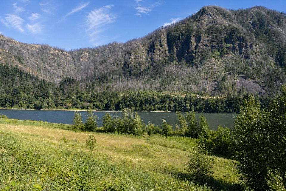 EasyStrawberry Island Loop4 mi · 2.5 hr · 1.2 mi awayA meadow in the river’s narrow middle, framed by both Gorge walls.
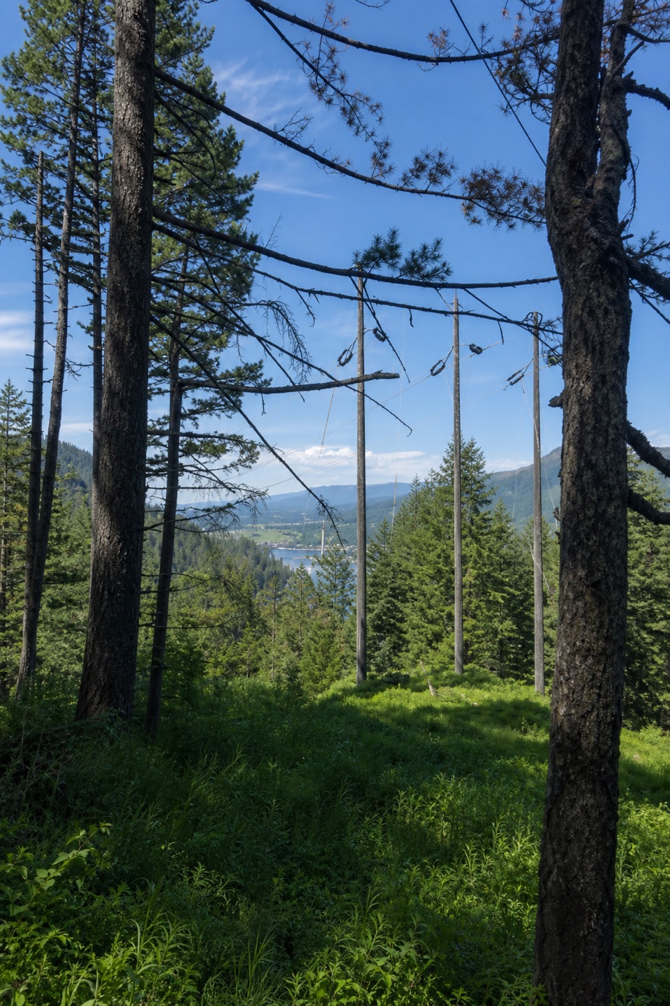 ModerateBuck Point Trail1.1 mi · 1.5 hr · 1.7 mi awaySteep steps lead to a Gorge river view beneath the powerlines.
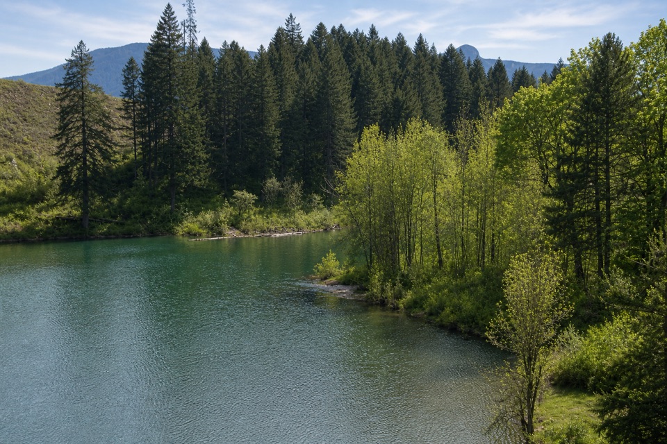 ModerateGillette Lake5.3 mi · 3 hr · 1.7 mi awayA forest climb to blue-green water and landslide ponds.
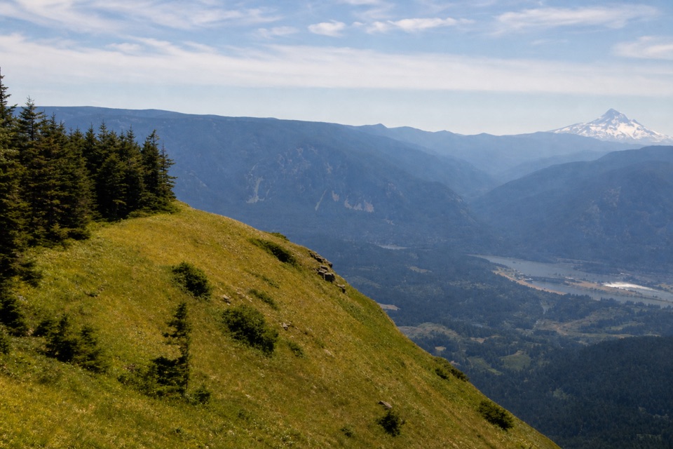 ChallengingTable Mountain from Bonneville Trailhead15.5 mi · 11 hr · 1.7 mi awayA hard climb to sheer cliffs above the Columbia Gorge.
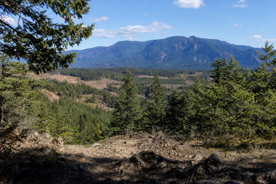 ModerateGreenleaf Overlook7.9 mi · 4.5 hr · 1.7 mi awayFollow the PCT to a mossy perch above the Bonneville Slide.
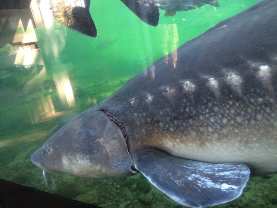 Sight · 0.3 mi awayBonneville Fish HatcherySee Herman through an underwater viewing window.
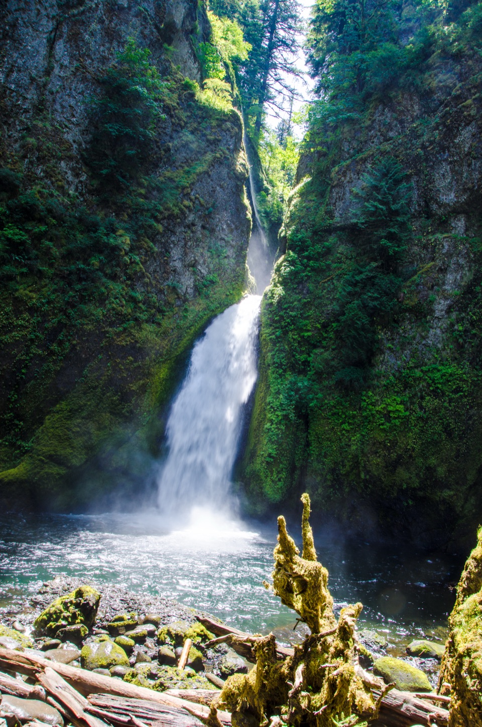 Sight · 0.9 mi awayWahclella FallsA short canyon walk ends at a two-tiered plunge pool.
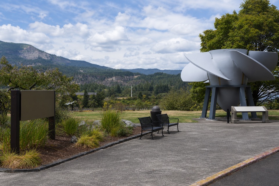 Visitor center · 0.9 mi awayBradford Island Visitor CenterFish ladder viewing and hydropower history under one roof.
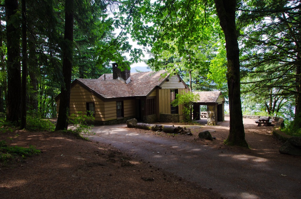 Campground · 1.4 mi awayEagle Creek Overlook Group CampgroundA CCC-built group campground with a bluff view of Bonneville Dam.
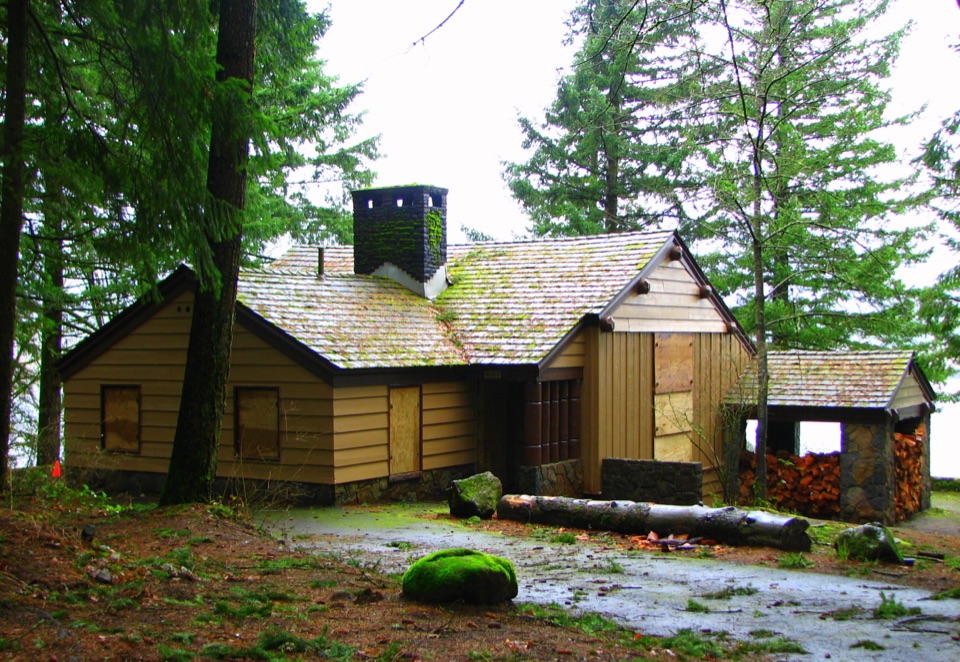 Picnic area · 1.5 mi awayEagle Creek Day Use AreaA historic picnic site where salmon return to the creek each fall.
 Visitor center · 1.6 mi awayWashington Shore Visitor CenterA fish ladder window and an 85-foot view into a powerhouse.
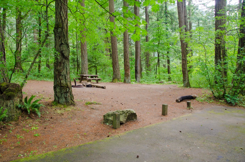 Campground · 1.6 mi awayEagle Creek CampgroundA shady 1916 campground at the foot of the Eagle Creek Trail.
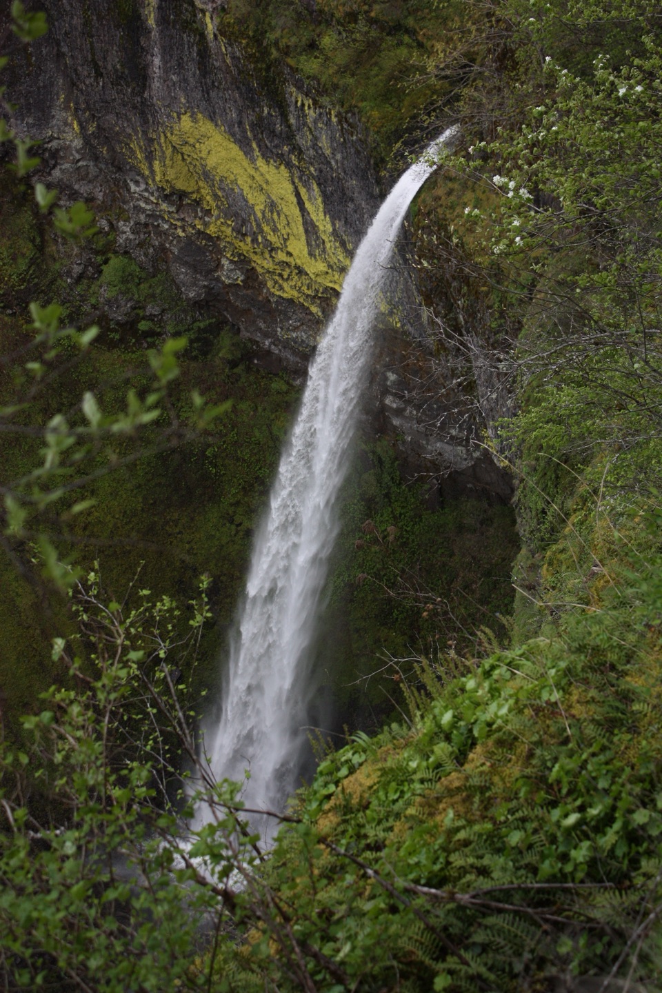 Sight · 2.4 mi awayElowah FallsA 213-foot plunge framed by ancient lava and a green ravine.
Parkwolf’s Columbia River Gorge ranking
The audio tour guide for the drive, plus offline maps, trails, and wildlife heatmaps for when the signal drops.





