Tanner Butte Trail in Columbia River Gorge National Scenic Area

Columbia River Gorge National Scenic Area, OR · WA

Tanner Butte Trail

A long climb to old firetower remains and a Mount Hood view.

Length
17.9mi
Time
11.5hr
Elev. change
4,268ft
Difficulty
Challenging
  • High point 4,446 ft

Hear the audio tour

Wahclella Falls Trailhead

Overview

About Tanner Butte Trail

Why go

  • Open summit views toward Mount Hood
  • A deep forest climb with a high-ridge payoff
  • Old firetower remains near the summit

Heads up

  • Nearly 18 miles round trip with about 4,500 feet of climbing
  • Brushy upper section makes route-finding demanding
  • About two miles of gated road each way before Trail #401

Map & elevation

The route

Loading the Columbia River Gorge map
Full map
Elevation177–4,446 ft
TrailheadForest Road 777 gate near Toothrock Trailhead45.63352, -121.94990
Keep this map with you offline in the Parkwolf app

Plan your hike

Before you go

Parking

Park at Toothrock Trailhead near Bonneville Exit 40. From the Forest Road 777 gate, walk roughly 2 miles to the signed Trail #401 start; this route includes the road walk in both directions. Wahclella is a separate fee-site alternative with a different approach.

Safety

The higher wilderness section is brushy and requires good route-finding.

8 active Columbia River Gorge alerts

  • ClosureEagle Creek Fire area closureMentions this trailDo not enter Oneonta Gorge or the specified trail sections because hazards remain following the Eagle Creek Fire.Official details
  • CautionAircraft and drone restrictions at developed recreation sitesAircraft and drone landings, drop-offs, and pickups are prohibited at six high-use developed recreation sites to protect visitor safety.Official details
See all 8 alerts
A park ranger sits on a dash-mounted phone, talking, as Parkwolf’s Tour Guide plays “Army Cutworm Moths: A Grizzly Bear Buffet” on Grand Loop Road below Dunraven Pass in Yellowstone
Parkwolf Tour GuideThe highest, rockiest slopes around here are a summer buffet for grizzly bears.

Columbia River Gorge Tour Guide

Your drive to Tanner Butte Trail, narrated.

Parkwolf is a GPS audio tour guide for Columbia River Gorge National Scenic Area. As you drive, it chimes in with what’s ahead: hidden gems, upcoming stops, history, geology, and wildlife, right through your car’s speakers.

Recorded for this area

Wahclella Falls Trailhead
0:00 / 0:31
“You're approaching Wahclella Falls Trailhead, where a roughly two-mile round trip hike leads into Tanner Creek canyon; the falls aren't a roadside view.”

Plays on the road 0.2 mi from the trailhead in the Parkwolf Columbia River Gorge Tour Guide.

More stories near here in the app

  • Bonneville Fish Hatchery
  • Bradford Island Visitor Center
  • Fort Cascades Historic Site
  • Eagle Creek Trailhead
  • 217 audio storiesacross Columbia River Gorge’s roads, triggered by GPS as you drive
  • Wildlife heatmapsfor Bald Eagle, Black Bear, American Pika, and 13 more
  • Works offlinemaps, 111 trails, 78 places, and audio download before you lose signal
  • CarPlay readysimple controls built for the drive
★★★★★
“Fantastic app with many points of information… It’s great to just turn on while you’re driving and it gives you an audio tour of the national Park. We love it!!!!”
JMJamesApp Store review
Download Parkwolf on the App StoreGet Parkwolf on Google Play

4.7 from 8,600+ ratings

Trail guide

Hiking Tanner Butte Trail

A full day to Tanner ButteTanner Butte Trail is a strenuous out-and-back summit hike in the Columbia River Gorge.

Tanner Butte Trail is a strenuous out-and-back summit hike in the Columbia River Gorge. This route measures about 17.9 miles round trip from the Forest Road 777 gate near Toothrock, including the roughly 2-mile gated-road walk each way to the signed Trail #401 start. From that sign, the trail and summit spur account for about 13.9 miles round trip. Expect roughly 4,500 feet of climbing and plan on 11 to 12 hours. It suits hikers prepared for a long day, steady climbing and careful navigation in the brushier upper stretch. The payoff is a high, open summit with a clear-weather view toward Mount Hood.

From the gate to the upper ridgeFrom Toothrock, walk Forest Road 777 from its gate to the signed Tanner Ridge/Butte trailhead,…

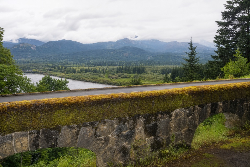
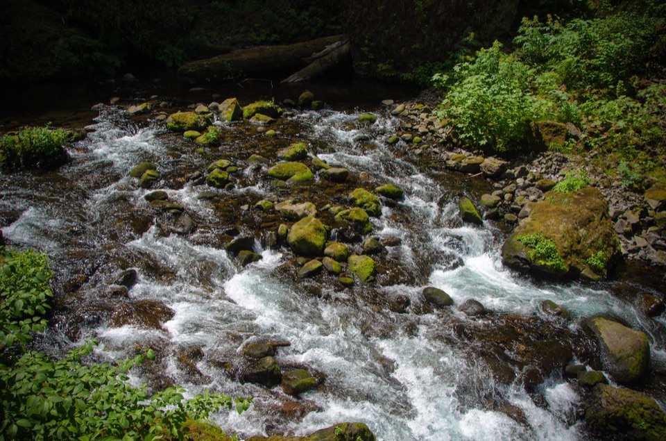
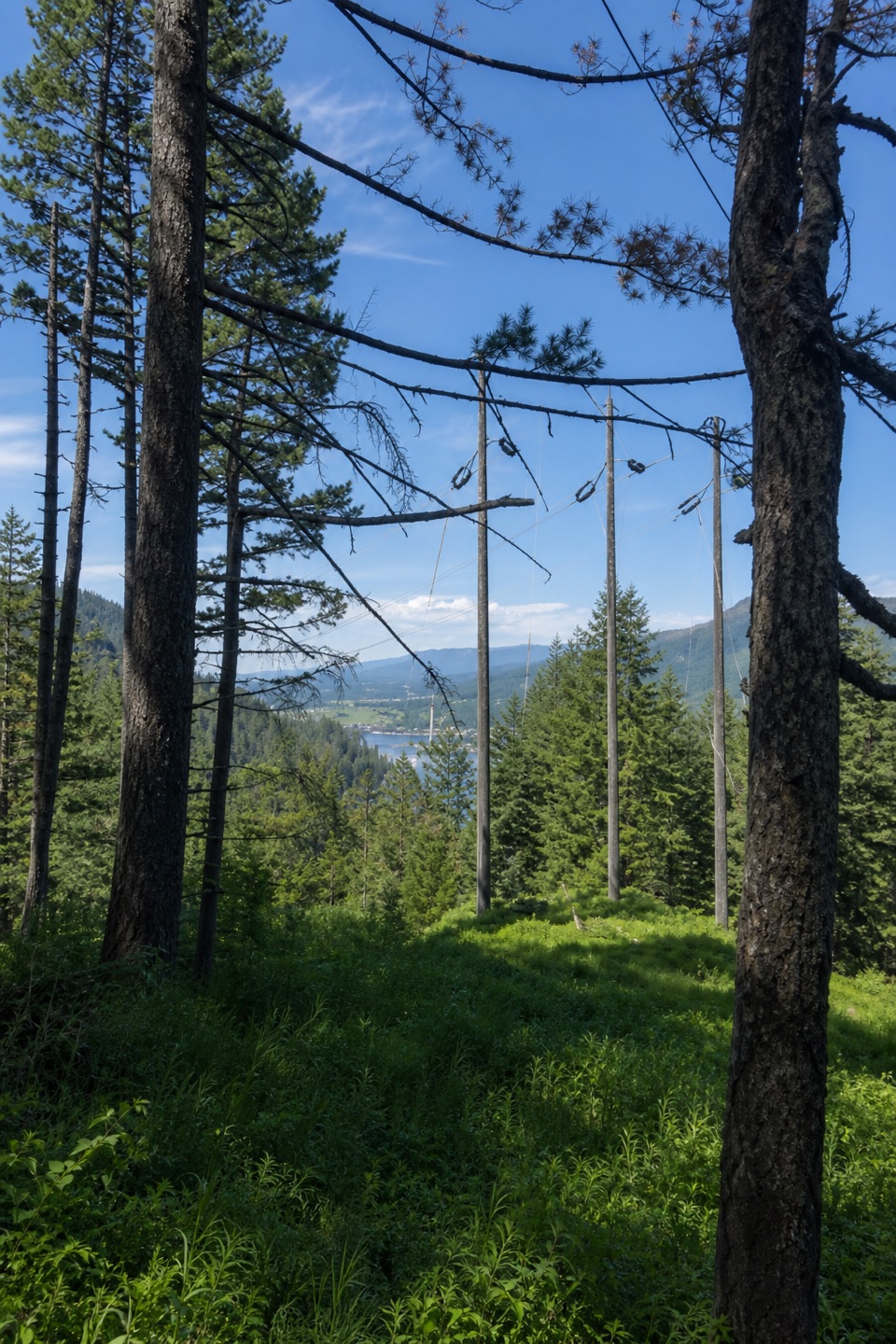
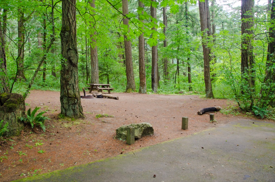
From Toothrock, walk Forest Road 777 from its gate to the signed Tanner Ridge/Butte trailhead, then follow Trail #401. The first 2.2 miles climb through Douglas-fir, noble fir and silver fir on sustained switchbacks to the Wauna Point Trail #401D junction. That side trail is unmaintained; stay on #401 for Tanner Butte. The main route continues through the forest toward the Dublin Lake turnoff, then pushes south along the ridge. The first part is a long, steady ascent rather than a short waterfall stroll. A separate approach from Wahclella has small waterfalls near its trailhead, but it follows a different access route and is not included in this mapped line.

The summit is the rewardNear Tanner Butte, the route leaves the denser fir cover for open shrubs and grasses.

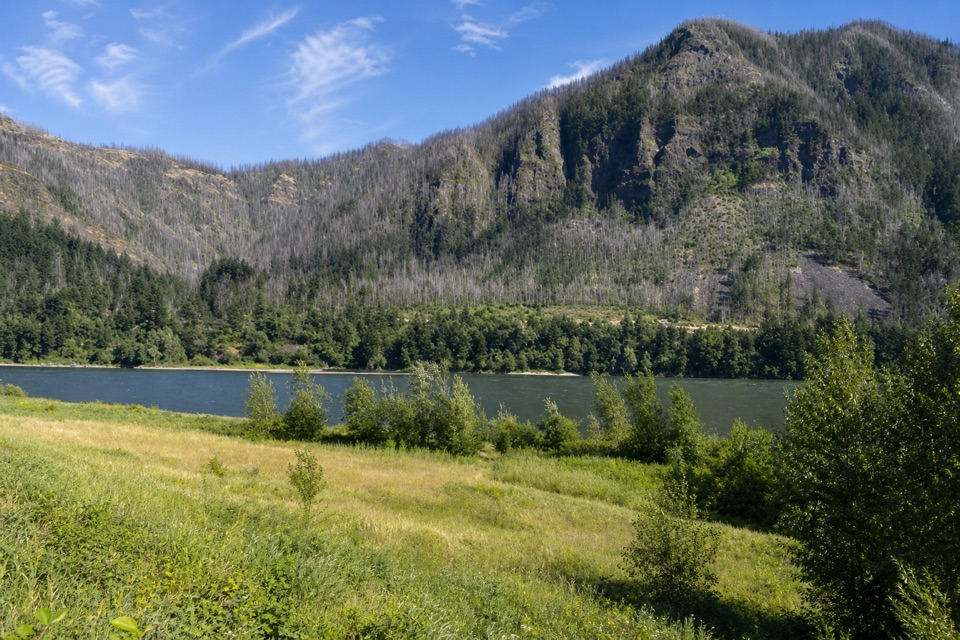
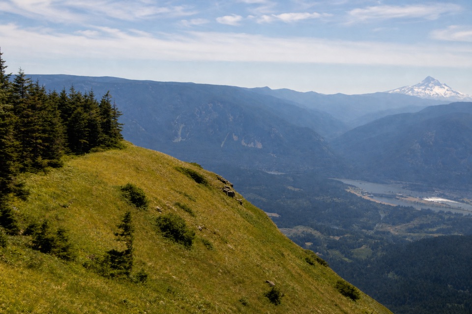
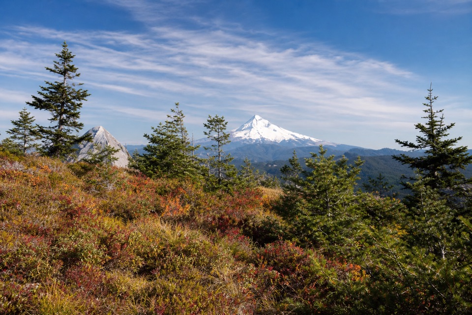
Near Tanner Butte, the route leaves the denser fir cover for open shrubs and grasses. A short, steep and rough path makes the final climb to the high point; it is a footpath, not a technical scramble. Remnants of an old fire tower sit near the summit. On a clear day, Mount Hood rises beyond the dark forested ridges and makes the strongest view of the hike. For a useful phone photo, frame the snowy cone between the firs and include the layered ridges and low shrubs in front; that keeps the image tied to the actual summit setting instead of making it only a distant mountain portrait.

Plan for the full routeUse Toothrock Trailhead near Bonneville Exit 40 as the primary parking access.

Use Toothrock Trailhead near Bonneville Exit 40 as the primary parking access. The route begins at the Forest Road 777 gate and follows the gated road about 2 miles to the signed #401 trailhead; that approach is counted in both the outbound and return distance. Wahclella is a separate fee-site alternative with a different approach. Published descriptions vary: some count from the signed trailhead, some include the road walk, and one total does not reconcile with its listed segment distances. The route here follows the mapped road, Trail #401 and summit spur, measures 8.96 miles one way, and is stored once; the visitor distance doubles that corridor to 17.9 miles round trip. Treat it as the long summit outing, not a loop. The stated time is a planning estimate for a very strenuous day, not a promise of pace.

Wildlife

Wildlife in Columbia River Gorge

All Columbia River Gorge wildlife maps

Sighting maps show where each species has been reported across Columbia River Gorge. Wildlife moves, so no sighting is guaranteed.

Keep exploring

Near Tanner Butte Trail

See it all on the map

Trails that start nearby

Places near the trailhead

Parkwolf’s Columbia River Gorge ranking

Top-rated trails in Columbia River Gorge

All 111 trails
  1. 1Eagle Creek Trail #440 to Tunnel FallsChallenging · 11.7 mi
  2. 2Multnomah Falls Trail to the TopModerate · 2.4 mi
  3. 3Multnomah–Wahkeena Falls LoopChallenging · 4.8 mi
  4. 4Dog Mountain LoopChallenging · 6.9 mi
  5. 5Angel's Rest TrailModerate · 4.8 mi
  6. 6Cape Horn Loop TrailChallenging · 6.5 mi

Take Parkwolf to Columbia River Gorge.

The audio tour guide for the drive, plus offline maps, trails, and wildlife heatmaps for when the signal drops.

4.7 from 8,600+ ratings

Download Parkwolf on the App StoreGet Parkwolf on Google Play