Parking
Use the free Balfour-Klickitat day-use lot off Old Highway 8/Canyon Road, about a quarter-mile north of SR 14 after the Klickitat River bridge from Lyle. Restrooms are at the lot.
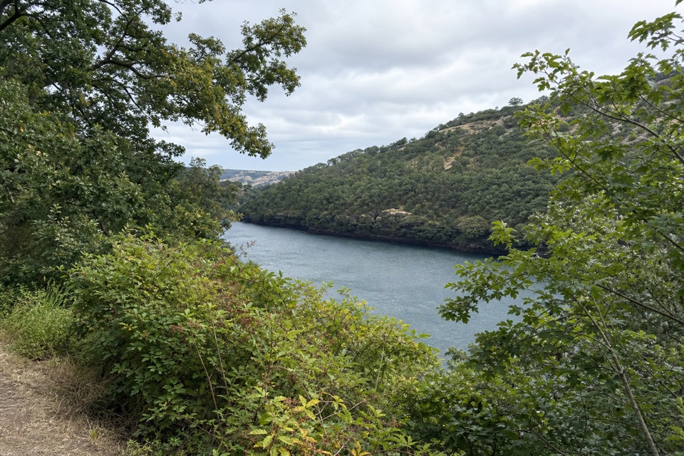
Columbia River Gorge National Scenic Area, OR · WA
A short paved loop to a bird blind above the Klickitat.
Overview
Map & elevation
Plan your hike

The highest, rockiest slopes around here are a summer buffet for grizzly bears.
Columbia River Gorge Tour Guide
Parkwolf is a GPS audio tour guide for Columbia River Gorge National Scenic Area. As you drive, it chimes in with what’s ahead: hidden gems, upcoming stops, history, geology, and wildlife, right through your car’s speakers.
Recorded for this trailhead
Balfour-Klickitat Birding Loop“You're coming up on the Balfour-Klickitat trailhead, where a short paved loop leads to a bird blind above the Klickitat River.”
Plays as you drive up to this trailhead in the Parkwolf Columbia River Gorge Tour Guide.
More stories near here in the app
“Fantastic app with many points of information… It’s great to just turn on while you’re driving and it gives you an audio tour of the national Park. We love it!!!!”


Trail guide
Balfour-Klickitat Loop is an easy, paved 0.75-mile round-trip loop above the Klickitat River, with a short retraced spur to a bird blind at Klickitat Cove. Allow about 30 minutes, longer if you linger at the overlook. It suits an easy walk and birdwatching: bald eagles are worth looking for around February, with songbirds and waterfowl year-round.
From the day-use lot, head toward the restrooms and take the upper path away from Highway 14. At the interpretive board, follow signs to the Wildlife Viewing Area; its platform looks toward Mill Creek’s confluence with the Klickitat. Return to the board and take the lower path along the river. It crosses water, curves uphill to the lot, and passes an old ranch fireplace. Osage orange trees remain from the ranch windbreak planted in the late 1800s.
Most of the paved path is ADA-accessible, but steep or rugged sections may need assistance, especially in winter and spring. Snow isn’t cleared and pavement isn’t salted. Water crosses the lower leg, which can be tricky for wheeled visitors. Dogs are allowed on leash; restrooms and free parking are at the trailhead. From the bird blind, include the curve of water and the wooded opposite bank rather than zooming in on birds.
Wildlife
 267 sightingsBald EagleMost seen around 7 AMSighting map
 51 sightingsBlack BearMost seen around 7 PMSighting map
 136 sightingsAmerican PikaMost seen around 8 AMSighting map
 16 sightingsWapitiMost seen around 7 AMSighting map
 195 sightingsMule DeerMost seen around 7 AMSighting map
 74 sightingsChinook SalmonMost seen around 6 PMSighting map
Sighting maps show where each species has been reported across Columbia River Gorge. Wildlife moves, so no sighting is guaranteed.
Keep exploring
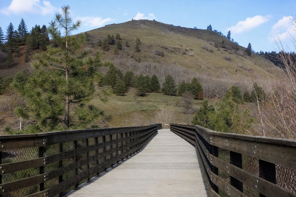 EasyKlickitat Trail: Lyle to Fisher Hill Trestle3.2 mi · 1.5 hr · 0.2 mi awayEasy riverside walking ends at Fisher Hill’s high trestle.
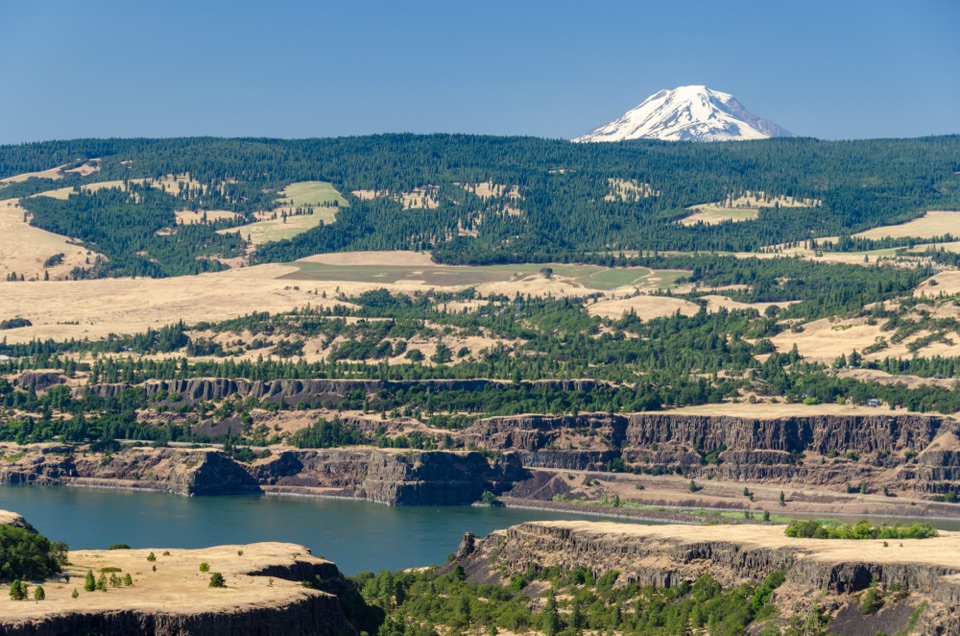 ModerateTom McCall Point Trail3.5 mi · 3 hr · 1.2 mi awaySpring flowers lead to a windy bluff with big Gorge views.
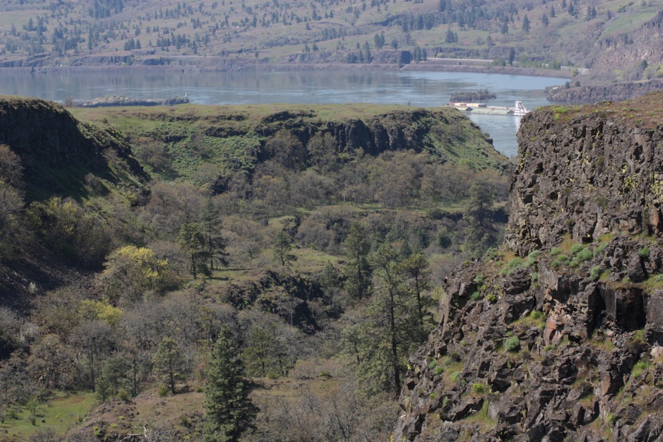 EasyRowena Plateau Loop2.6 mi · 1.5 hr · 1.2 mi awayIce Age ponds, spring flowers and two big views from the plateau.
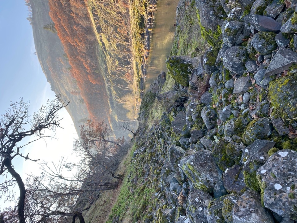 ModerateKlickitat Trail — Fisher Hill to Klickitat11.4 mi · 5 hr · 1.5 mi awayA quiet riverside rail bed, with a fishway and a long walk.
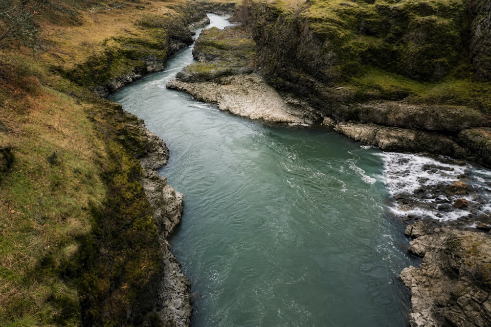 ModerateKlickitat Trail: Fisher Hill Bridge to Pitt8.5 mi · 4 hr · 1.6 mi awayA long, gentle rail-trail walk beside the Klickitat River.
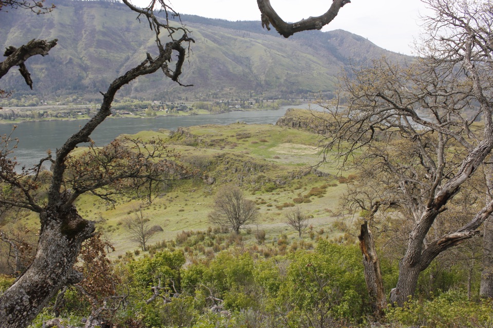 ModerateLyle Cherry Orchard Trail5 mi · 3.5 hr · 1.6 mi awayAn old orchard and spring blooms above the Columbia.
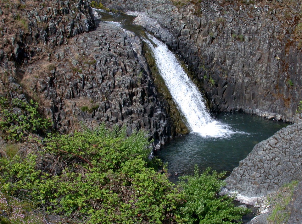 EasyCatherine Creek Interpretive Trail1 mi · 54 min · 3.4 mi awayA paved mile through wildflower slopes to the Catherine Creek Falls view.
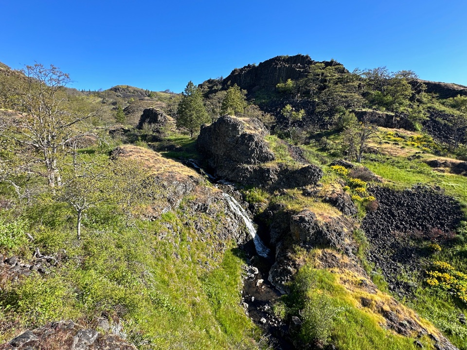 ModerateCatherine Creek Labyrinth3.6 mi · 3 hr · 4.3 mi awayA basalt maze, a creekside waterfall, and a viewpoint worth the climb.
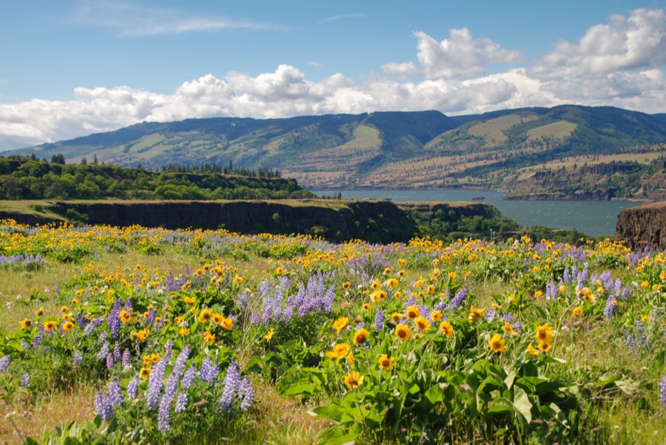 Sight · 1.2 mi awayRowena Crest OverlookSee the Columbia and Rowena Loops together in one roadside view.
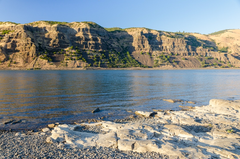 Sight · 1.2 mi awayMayer State Park – River AccessChoose among wind sports, sheltered paddling, or a riverbank picnic.
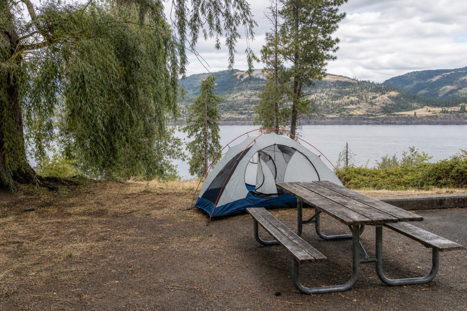 Campground · 2.5 mi awayMemaloose State Park CampgroundCamp beside the Columbia, with Memaloose Island in view.
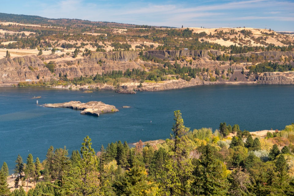 Sight · 2.8 mi awayMemaloose OverlookA quick river view across to Memaloose Island.
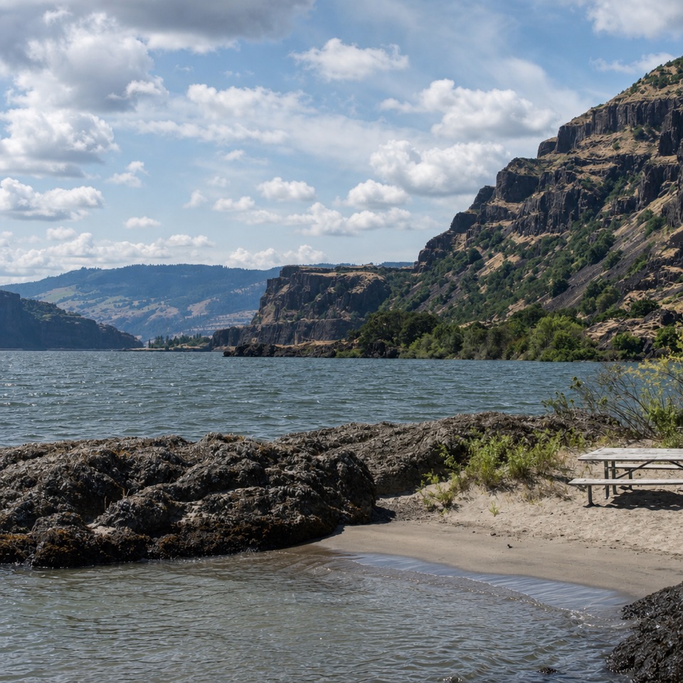 Beach · 3.2 mi awayDoug’s Beach State ParkWatch Gorge windsurfing from a sandy shore, with basalt cliffs behind.
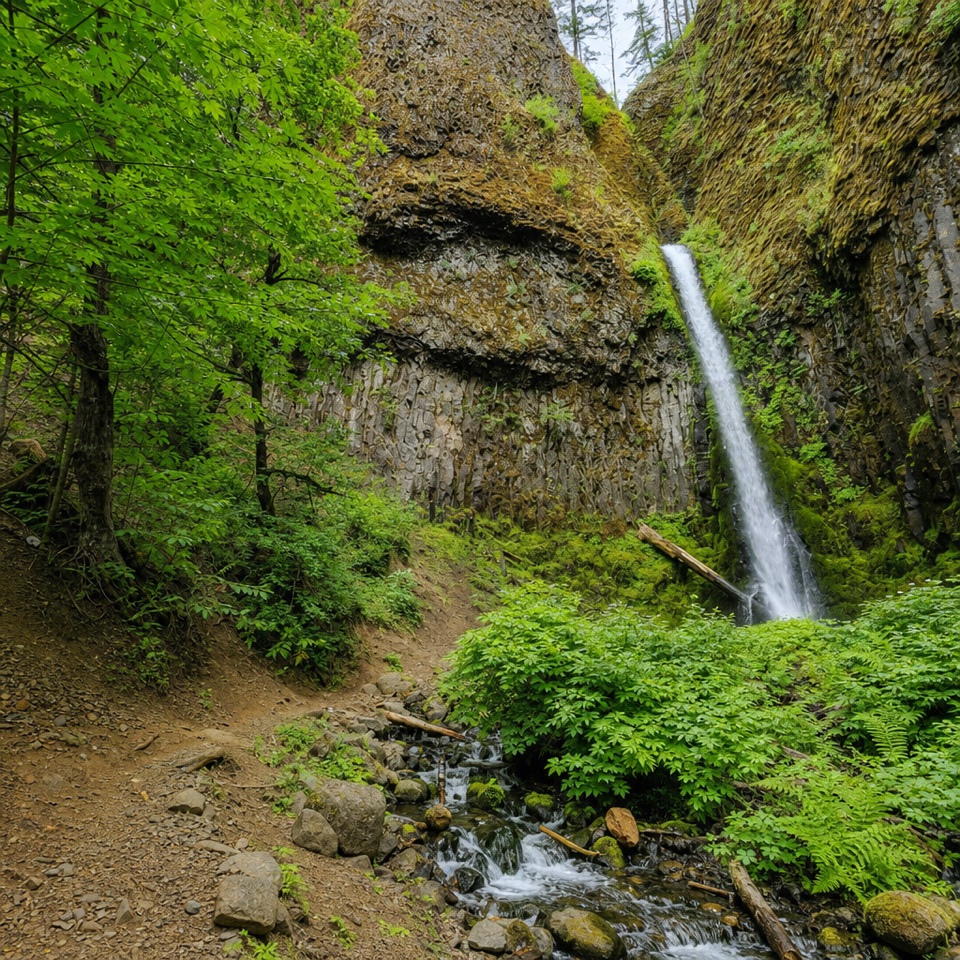 Sight · 4.8 mi awayMosier Creek FallsA quick waterfall stop, with a historic bridge on the way in.
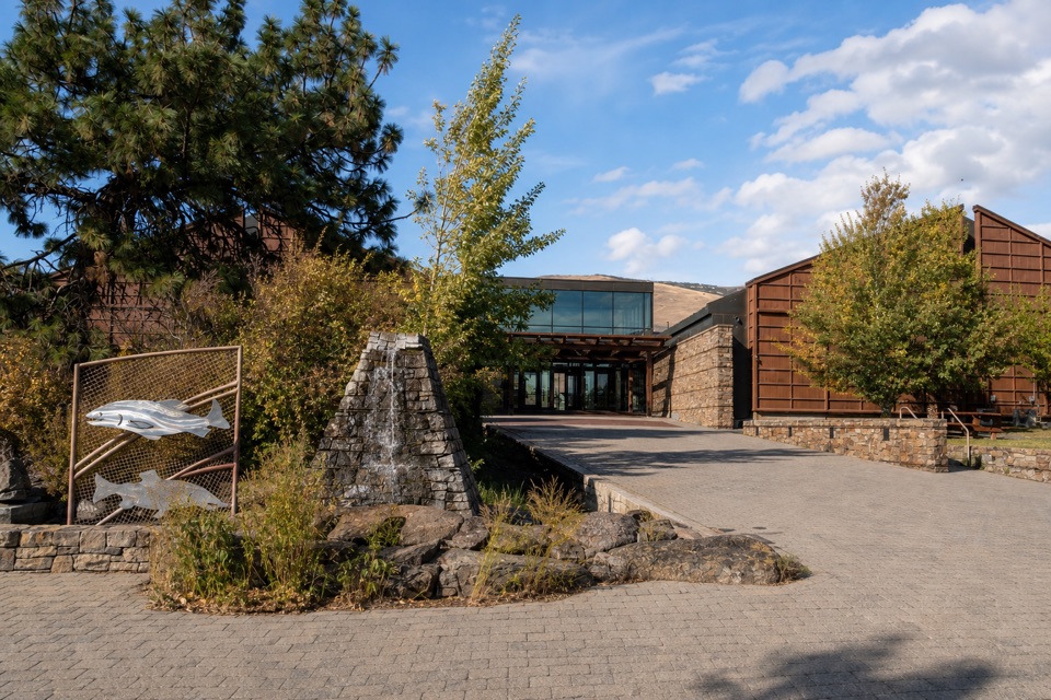 Sight · 5.1 mi awayColumbia Gorge Discovery Center & MuseumIce Age fossils, Gorge history, and raptors on a riverside campus.
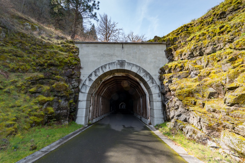 Sight · 6.2 mi awayMosier Twin TunnelsHistoric highway tunnels with windows that frame the Gorge.
Parkwolf’s Columbia River Gorge ranking

The audio tour guide for the drive, plus offline maps, trails, and wildlife heatmaps for when the signal drops.





