Parking
Marked parking at Lyle Trailhead, with a restroom, potable water and ADA access noted there. Parking capacity and fees were not found.
Columbia River Gorge National Scenic Area, OR · WA
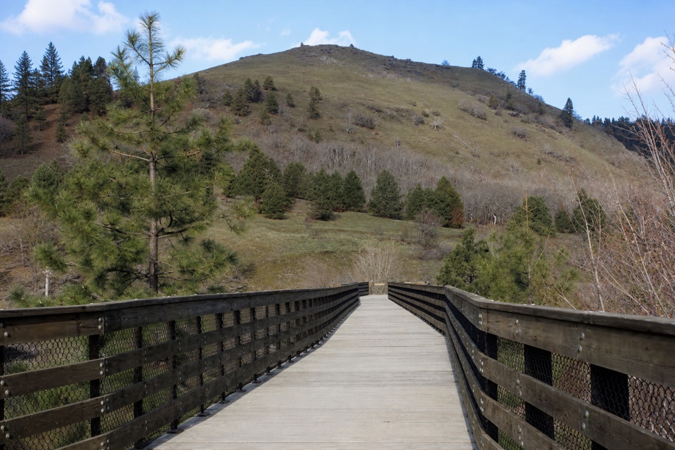
Easy riverside walking ends at Fisher Hill’s high trestle.
Overview
Map & elevation
Plan your hike

The highest, rockiest slopes around here are a summer buffet for grizzly bears.
Columbia River Gorge Tour Guide
Parkwolf is a GPS audio tour guide for Columbia River Gorge National Scenic Area. As you drive, it chimes in with what’s ahead: hidden gems, upcoming stops, history, geology, and wildlife, right through your car’s speakers.
Recorded for this trailhead
Klickitat Trail at Lyle“Up ahead is Lyle Trailhead for the Klickitat Trail, a mostly flat walk beside the river on an old railroad grade.”
Plays as you drive up to this trailhead in the Parkwolf Columbia River Gorge Tour Guide.
More stories near here in the app
“Fantastic app with many points of information… It’s great to just turn on while you’re driving and it gives you an audio tour of the national Park. We love it!!!!”


Trail guide
Klickitat Trail: Lyle to Fisher Hill Trestle is a 3.2-mile out-and-back on the old railroad grade beside the Klickitat River. Start in Lyle, follow the river north to the high Fisher Hill Trestle, then return along the same path. The 3.2 miles includes the walk back; the mapped corridor to the bridge is about 1.6 miles one way. It’s an easy way to get a clear destination and river scenery without taking on the much longer Klickitat Trail.
The path from Lyle is compact gravel, roughly 5 to 8 feet wide, and nearly flat. The view opens along the Klickitat, with whitewater and kayakers below; State Route 142 runs on the opposite bank. Hikers share the trail with cyclists and horses. The simple rail grade makes this a good choice for a relaxed walk, though you return on the same corridor. Allow 1.5 to 2 hours, including a pause at the trestle.
The trestle is the turnaround, about 1.5 to 1.6 miles from Lyle. Its deck carries the former rail line over the river canyon and makes a natural place to stop and look down for kayakers in the whitewater. The bridge stands at a traditional Native fishing site. In autumn, fishers may use long dip nets from temporary wooden scaffolds for salmon, a distinctive part of the river’s season. Some informal fishing paths nearby are steep and hazardous, so stay on the main trail.
Start at Lyle Trailhead, which has marked parking, a restroom and potable water. It’s the only ADA-accessible trailhead on the Klickitat trail, but the full route has no confirmed ADA classification. The path is described as improved for about 1.5 miles to the trestle. Lot capacity and parking fees weren’t found. No pass or permit is listed for this lower segment. Dogs must be leashed.
Wildlife
 267 sightingsBald EagleMost seen around 7 AMSighting map
 51 sightingsBlack BearMost seen around 7 PMSighting map
 136 sightingsAmerican PikaMost seen around 8 AMSighting map
 16 sightingsWapitiMost seen around 7 AMSighting map
 195 sightingsMule DeerMost seen around 7 AMSighting map
 74 sightingsChinook SalmonMost seen around 6 PMSighting map
Sighting maps show where each species has been reported across Columbia River Gorge. Wildlife moves, so no sighting is guaranteed.
Keep exploring
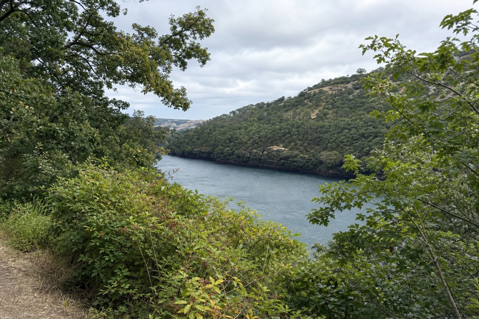 EasyBalfour-Klickitat Loop0.8 mi · 30 min · 0.2 mi awayA short paved loop to a bird blind above the Klickitat.
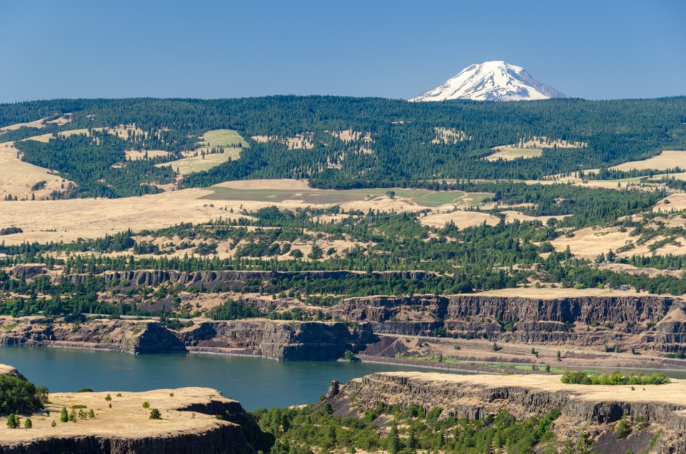 ModerateTom McCall Point Trail3.5 mi · 3 hr · 1.1 mi awaySpring flowers lead to a windy bluff with big Gorge views.
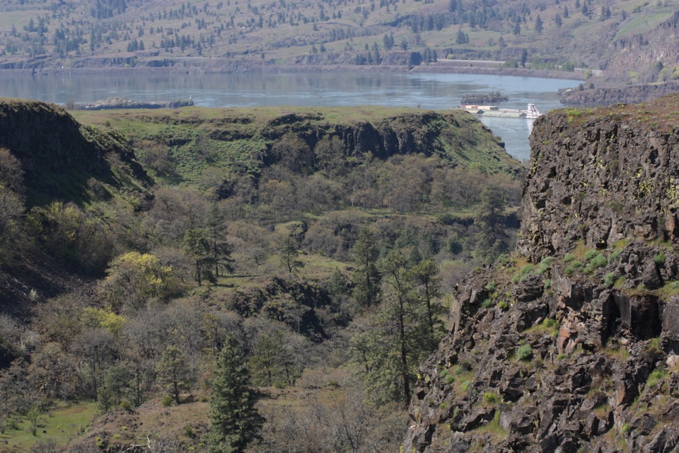 EasyRowena Plateau Loop2.6 mi · 1.5 hr · 1.2 mi awayIce Age ponds, spring flowers and two big views from the plateau.
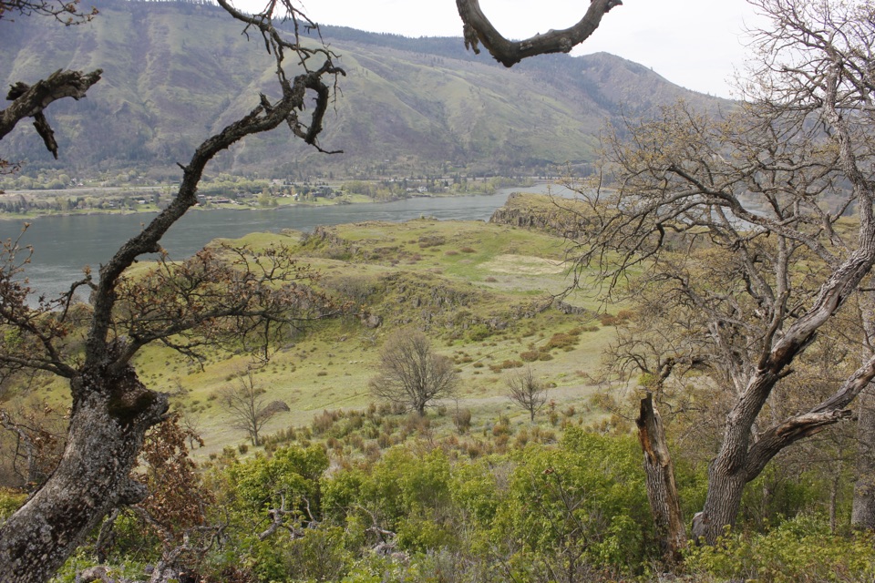 ModerateLyle Cherry Orchard Trail5 mi · 3.5 hr · 1.4 mi awayAn old orchard and spring blooms above the Columbia.
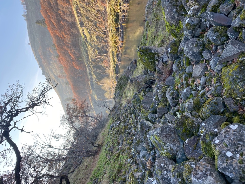 ModerateKlickitat Trail — Fisher Hill to Klickitat11.4 mi · 5 hr · 1.5 mi awayA quiet riverside rail bed, with a fishway and a long walk.
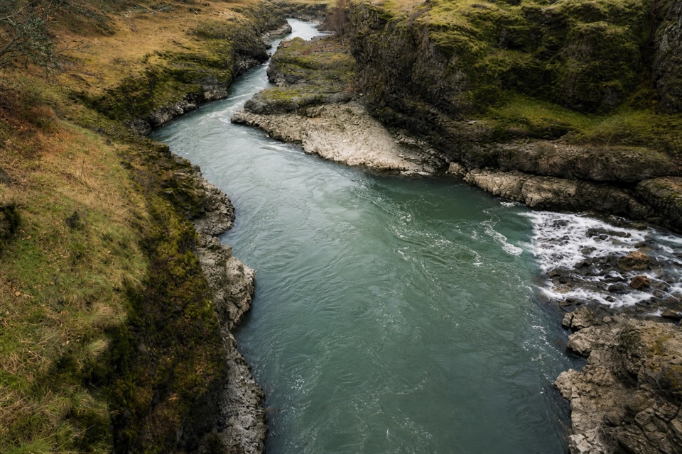 ModerateKlickitat Trail: Fisher Hill Bridge to Pitt8.5 mi · 4 hr · 1.5 mi awayA long, gentle rail-trail walk beside the Klickitat River.
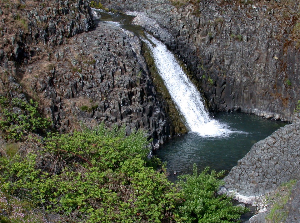 EasyCatherine Creek Interpretive Trail1 mi · 54 min · 3.6 mi awayA paved mile through wildflower slopes to the Catherine Creek Falls view.
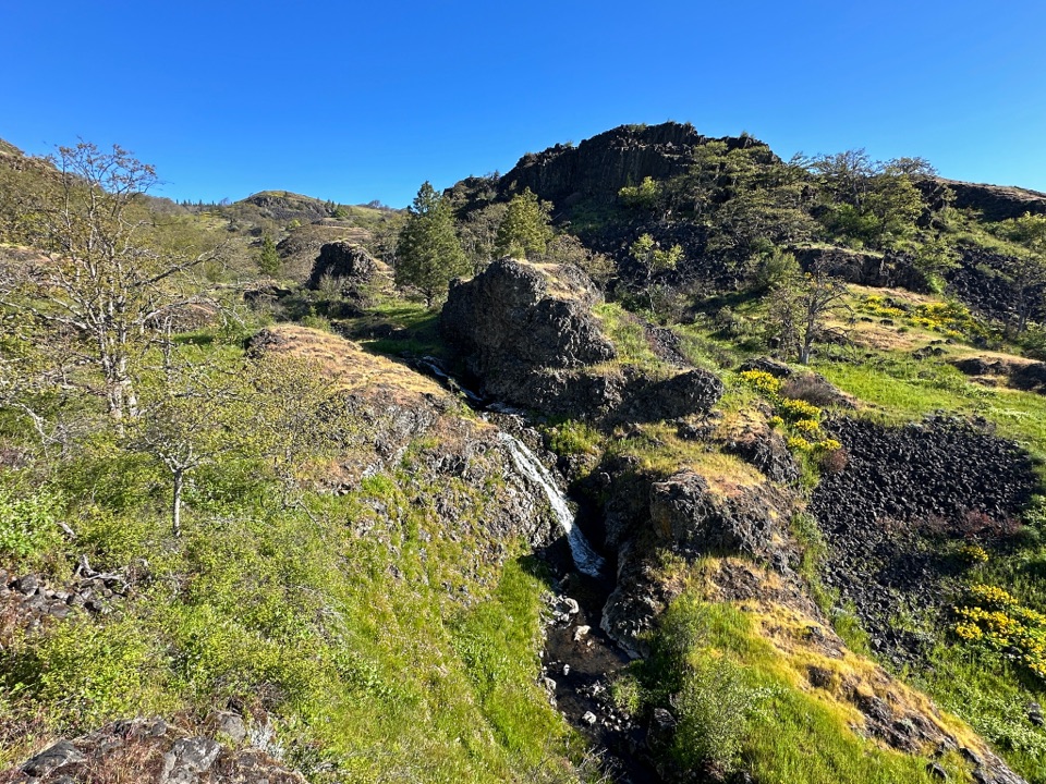 ModerateCatherine Creek Labyrinth3.6 mi · 3 hr · 4.5 mi awayA basalt maze, a creekside waterfall, and a viewpoint worth the climb.
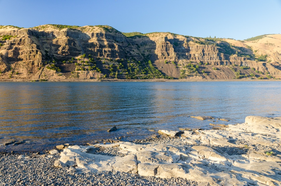 Sight · 1.1 mi awayMayer State Park – River AccessChoose among wind sports, sheltered paddling, or a riverbank picnic.
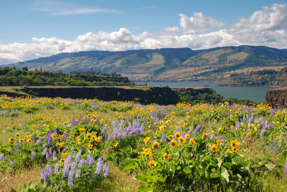 Sight · 1.1 mi awayRowena Crest OverlookSee the Columbia and Rowena Loops together in one roadside view.
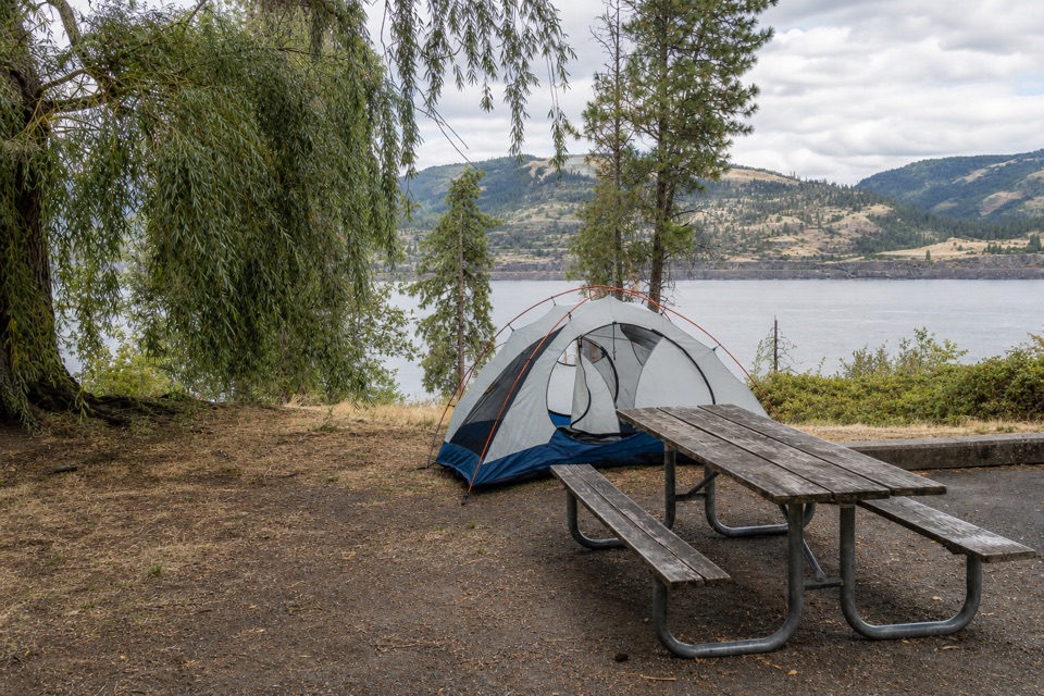 Campground · 2.7 mi awayMemaloose State Park CampgroundCamp beside the Columbia, with Memaloose Island in view.
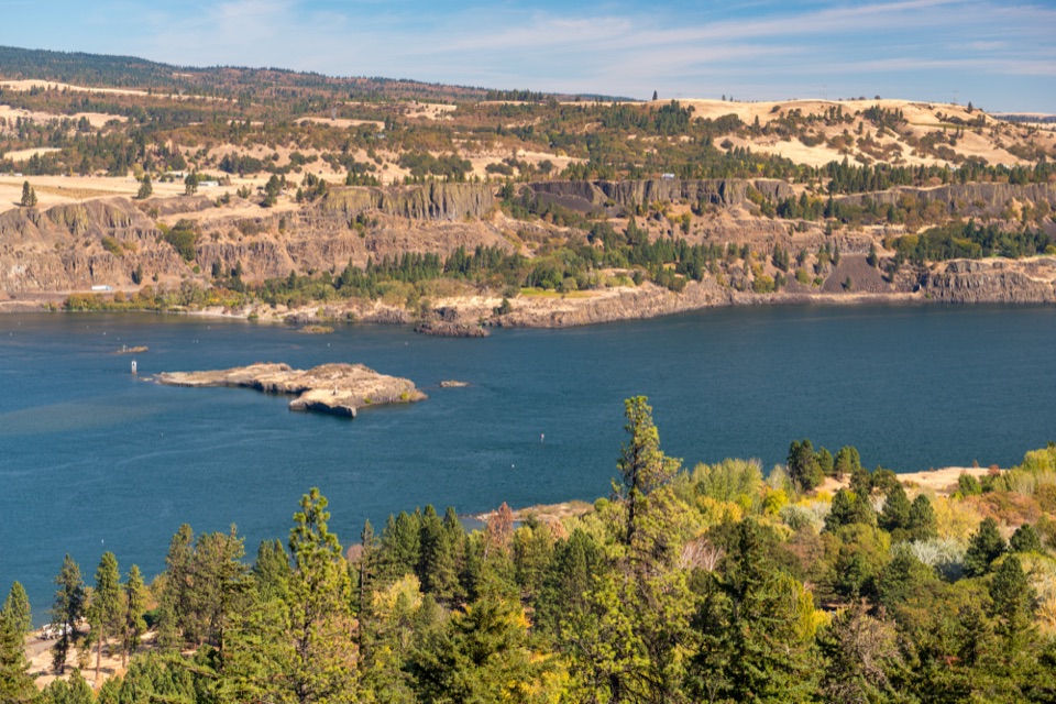 Sight · 3 mi awayMemaloose OverlookA quick river view across to Memaloose Island.
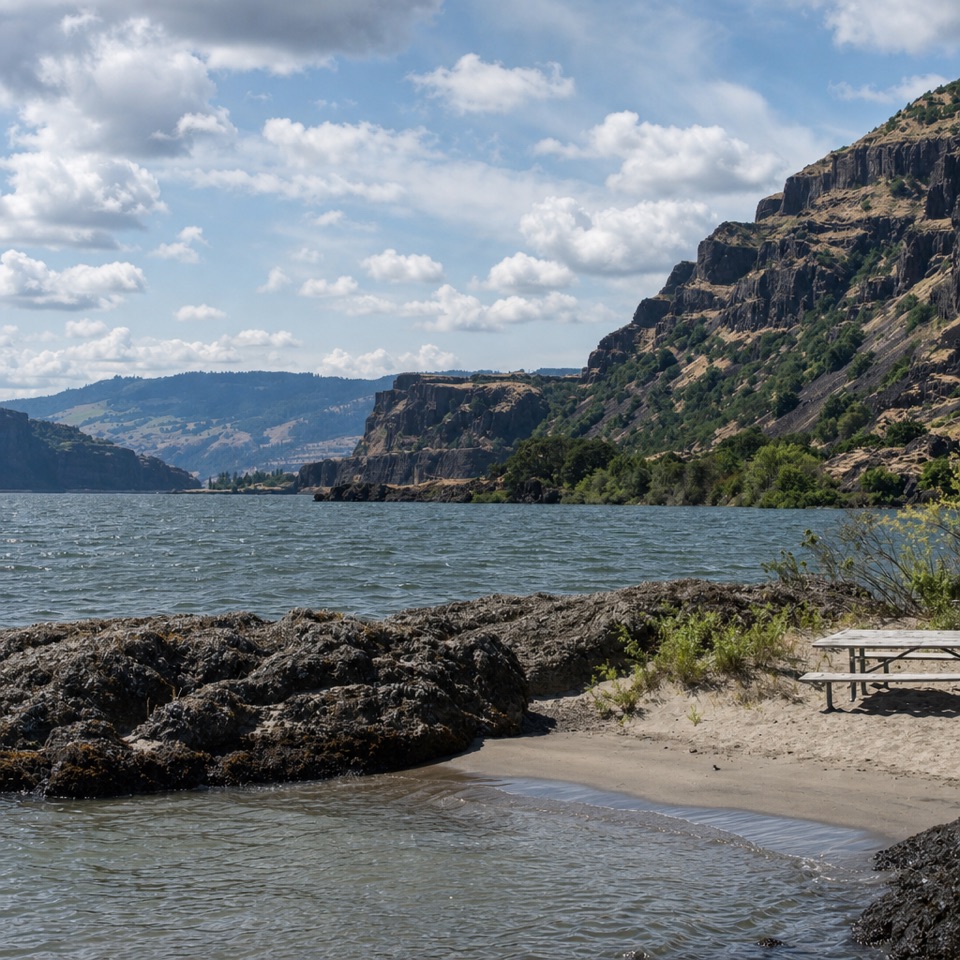 Beach · 3 mi awayDoug’s Beach State ParkWatch Gorge windsurfing from a sandy shore, with basalt cliffs behind.
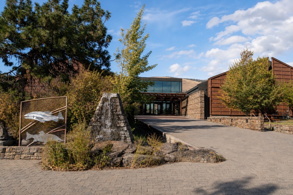 Sight · 4.8 mi awayColumbia Gorge Discovery Center & MuseumIce Age fossils, Gorge history, and raptors on a riverside campus.
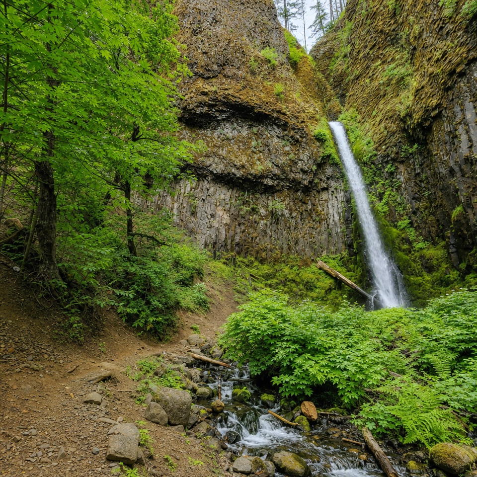 Sight · 5 mi awayMosier Creek FallsA quick waterfall stop, with a historic bridge on the way in.
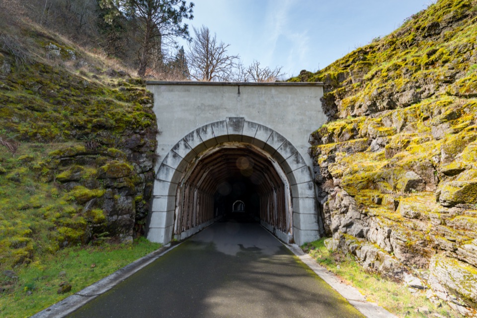 Sight · 6.4 mi awayMosier Twin TunnelsHistoric highway tunnels with windows that frame the Gorge.
Parkwolf’s Columbia River Gorge ranking

The audio tour guide for the drive, plus offline maps, trails, and wildlife heatmaps for when the signal drops.





